Aston Upthorpe

Settlement in Berkshire South Oxfordshire

England

Aston Upthorpe

Path to Cholsey From Aston Tirrold a concrete path at this point to Cholsey
Path to Cholsey Credit: Shaun Ferguson

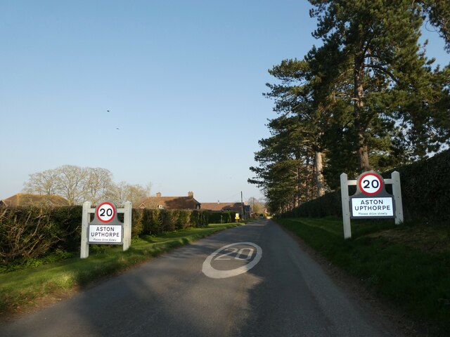
Aston Upthorpe is a small village located in the county of Berkshire, England. Situated within the South Oxfordshire district, it is nestled between the towns of Didcot and Wallingford. The village is home to a close-knit community and offers a tranquil and picturesque setting.

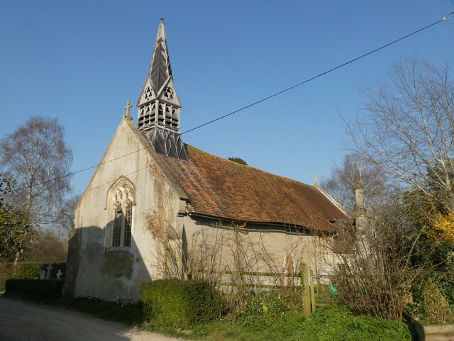
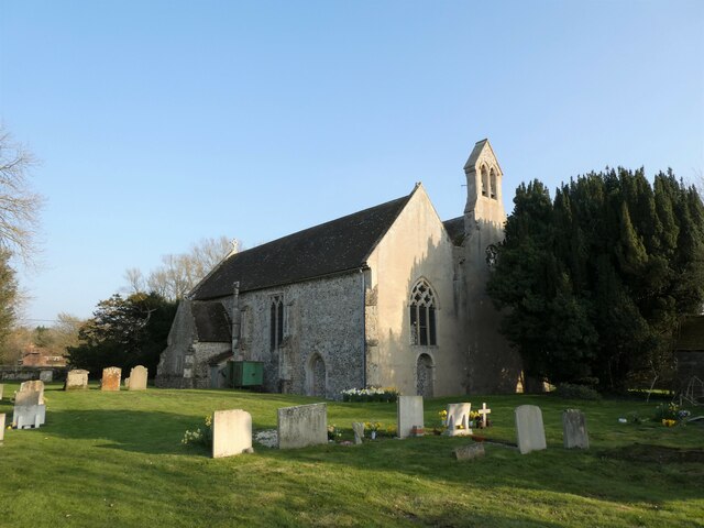
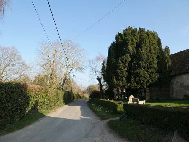
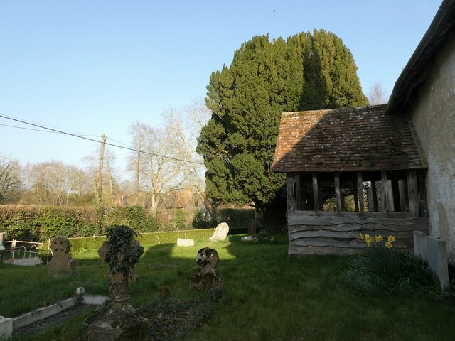
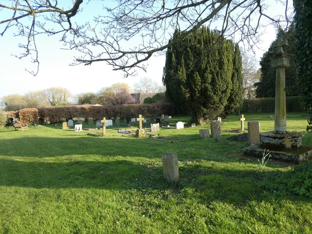
Aston Upthorpe boasts a rich history dating back several centuries. The village is mentioned in the Domesday Book, a survey commissioned by William the Conqueror in the 11th century, which highlights its significance even during medieval times. Today, remnants of its historical past can be seen in the form of charming thatched cottages and medieval architecture that dot the landscape.

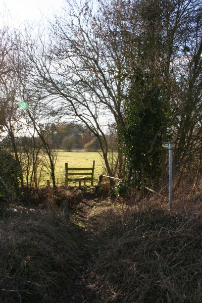
Nature enthusiasts will find Aston Upthorpe appealing, as it is surrounded by beautiful countryside and rolling hills. The village is located near the North Wessex Downs Area of Outstanding Natural Beauty, providing ample opportunities for outdoor activities such as walking, hiking, and cycling.

While Aston Upthorpe is primarily a residential area, it does have a few amenities to cater to residents' needs. These include a village hall, a local pub, and a church, adding to its community-focused atmosphere. For more extensive amenities and services, residents can easily access nearby towns and cities via the well-connected road network.

In conclusion, Aston Upthorpe is a charming village in Berkshire that offers a peaceful and idyllic setting, steeped in history and surrounded by natural beauty. It is a place where residents can enjoy a close-knit community and a slower pace of life, while still having convenient access to nearby towns and cities.

If you have any feedback on the listing, please let us know in the comments section below.

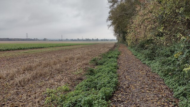
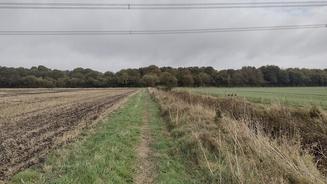
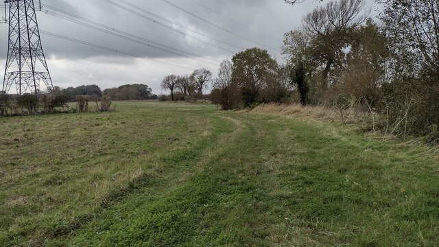
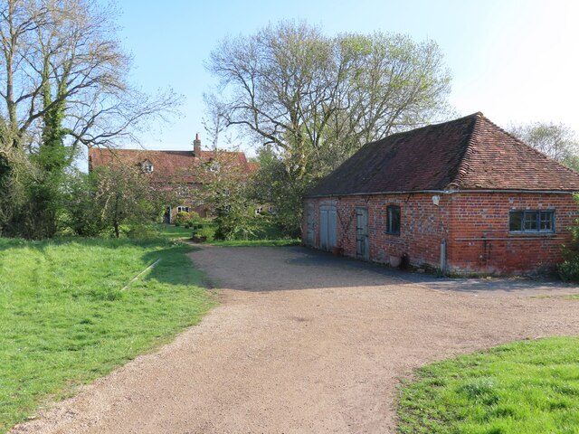
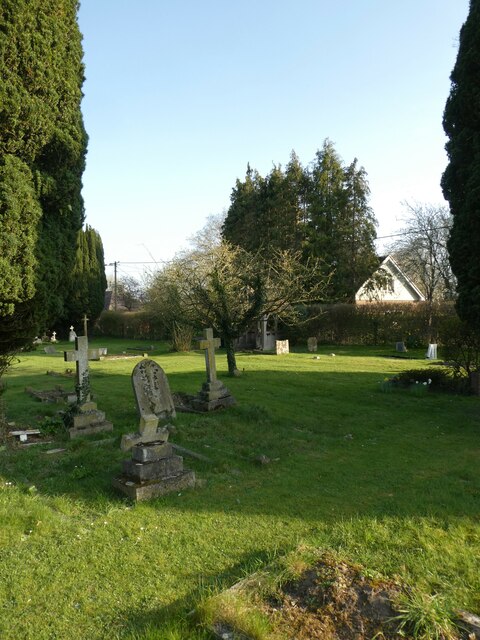
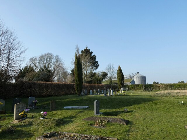
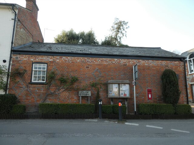
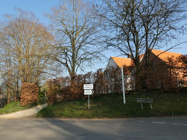
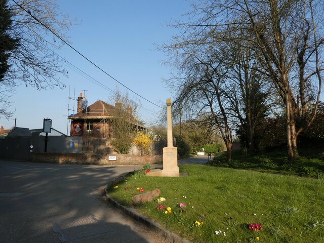
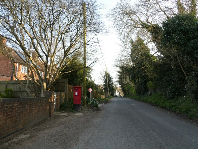
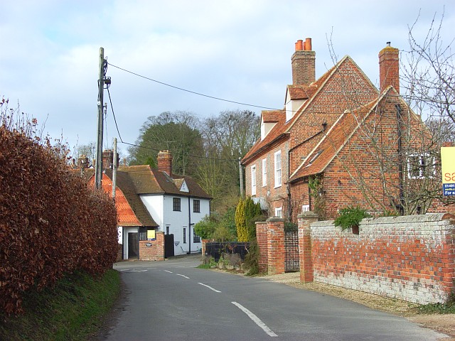
Aston Upthorpe Images

Images are sourced within 2km of 51.573252/-1.200404 or Grid Reference SU5586. Thanks to Geograph Open Source API. All images are credited.

Path to Cholsey From Aston Tirrold a concrete path at this point to Cholsey
Path to Cholsey
From Aston Tirrold a concrete path at this point to Cholsey
Path to Cholsey From Aston Tirrold the path to Cholsey nearing The Lees where it follows the tree line to the right
Path to Cholsey
From Aston Tirrold the path to Cholsey nearing The Lees where it follows the tree line to the right
Path heading toward East Hagbourne Path from South Moreton heading under the wires toward East Hagbourne
Path heading toward East Hagbourne
Path from South Moreton heading under the wires toward East Hagbourne
Lollingdon House Lollingdon House, which is an old Moated manor house and dates back to the Domesday book. The moat is a little way in the distance near the end of the drive. At the time of the photo the house was empty though it was sold back in February, the former owner, I'm told, passed away.
Lollingdon House
Lollingdon House, which is an old Moated manor house and dates back to the Domesday book. The moat is a little way in the distance near the end of the drive. At the time of the photo the house was empty though it was sold back in February, the former owner, I'm told, passed away.
All Saints, Aston Upthorpe
Entering South Moreton: late March 2022
St John the Baptist, South Moreton: late March 2022
Rush hour in South Moreton
You are now entering...Aston Upthorpe
Looking east-northeast along Thorpe Street
All Saints, Aston Upthorpe: churchyard
St Michael's Cemetery (1)
St Michael's Cemetery (2)
St Michael's Cemetery (3)
Rush hour in Aston Upthorpe
Rush hour in Aston Tirrold
Aston Tirrold War Memorial: late March 2022
Post box in Baker Street
Show me another place!

Aston Upthorpe is located at Grid Ref: SU5586 (Lat: 51.573252, Lng: -1.200404)

Administrative County: Oxfordshire

District: South Oxfordshire

Police Authority: Thames Valley

What 3 Words

///smelter.nitrate.bluffing. Near Blewbury, Oxfordshire

Nearby Locations

Aston Upthorpe

Related Wikis

Aston Upthorpe

Aston Upthorpe is a village and civil parish about 3 miles (5 km) southeast of Didcot in South Oxfordshire. It was part of Berkshire until the 1974 boundary...

Aston Tirrold

Aston Tirrold is a village and civil parish at the foot of the Berkshire Downs about 3 miles (5 km) southeast of Didcot. It was part of Berkshire until...

Blewburton Hill

Blewburton Hill is the site of an Iron Age hillfort located in Oxfordshire, in the southeast of England. It was a univallate hillfort (with a single rampart...

South Moreton Castle

South Moreton Castle was an 11th-century castle in the village of South Moreton, Oxfordshire, (historically in Berkshire until the 1974 reorganisation...
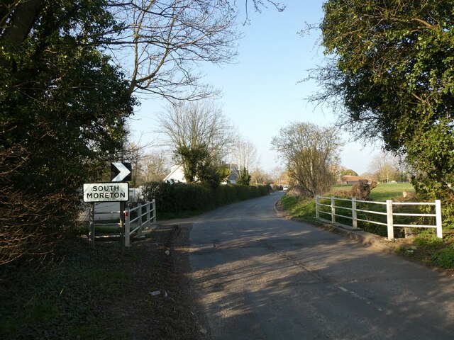
South Moreton

South Moreton is a village and civil parish in South Oxfordshire, England, about 3 miles (5 km) east of Didcot, 4 miles (6.4 km) west of Wallingford, and...

Blewbury

Blewbury is a village and civil parish at the foot of the Berkshire Downs section of the North Wessex Downs about 4 miles (6.4 km) south of Didcot, 14...

Fulscot

Fulscot is a hamlet in South Moreton civil parish in South Oxfordshire, about 0.5 miles (800 m) west of the village. In 1974 it was transferred from Berkshire...

Cholsey Abbey

Cholsey Abbey was an Anglo-Saxon nunnery in Cholsey in the English county of Berkshire (now Oxfordshire), which was founded in 986. == History == After...

Nearby Amenities

Located within 500m of 51.573252,-1.200404
Aston Tirrold
Created By: Potlatch 0.10f
Place: village
Lat/Long: 51.5700494/-1.1969165
Aston Upthorpe
Created By: Potlatch 0.10f
Place: village
Lat/Long: 51.5736129/-1.2038087
Upthorpe Farm
Naptan AtcoCode: 340000060AU
Naptan Bearing: SW
Naptan BusStopType: CUS
Naptan CommonName: Upthorpe Farm
Naptan Indicator: Outside
Naptan Landmark: Upthorpe Farm
Naptan NaptanCode: oxfamgdw
Naptan Street: Moreton Road
Naptan Verified: no
Source: naptan_import
Lat/Long: 51.5747779/-1.1990466
Bus Stop
The Chequers PH
Naptan AtcoCode: 340000822CHQ
Naptan Bearing: NE
Naptan CommonName: The Chequers PH
Naptan Indicator: Fullers Road Junction
Naptan Landmark: The Chequers PH
Naptan NaptanCode: oxfapgpt
Naptan Street: Fullers Road
Naptan Verified: no
Source: naptan_import
Lat/Long: 51.5715778/-1.20183
The Chequers PH
Naptan AtcoCode: 340000822OPP
Naptan Bearing: W
Naptan BusStopType: CUS
Naptan CommonName: The Chequers PH
Naptan Indicator: Opposite
Naptan Landmark: The Chequers PH
Naptan NaptanCode: oxfgjwdp
Naptan Street: Baker Street
Naptan Verified: no
Source: naptan_import
Lat/Long: 51.5715603/-1.2013339
Bus Stop
Upthorpe Farm
Naptan AtcoCode: 340000822UPF
Naptan Bearing: NE
Naptan CommonName: Upthorpe Farm
Naptan Indicator: Opposite
Naptan Landmark: Upthorpe Farm
Naptan NaptanCode: oxfapgpm
Naptan Street: Moreton Road
Naptan Verified: no
Source: naptan_import
Lat/Long: 51.5747789/-1.1991909
Barrier: kissing_gate
Lat/Long: 51.5709462/-1.1947158
Historic: memorial
Memorial: war_memorial
Lat/Long: 51.5714802/-1.2017199
Post Box
Post Box Type: wall
Ref: OX11 1108D
Royal Cypher: EIIR
Royal Cypher Wikidata: Q33102113
Lat/Long: 51.5733579/-1.2003699
Power: pole
Source: Bing
Lat/Long: 51.5735971/-1.1952113
Power: pole
Source: Bing
Lat/Long: 51.5734472/-1.1941116
Give Way
Source: Bing
Lat/Long: 51.5733725/-1.2026462
Give Way
Source: Bing
Lat/Long: 51.5730705/-1.200538
Direction: 195
Generator Method: photovoltaic
Generator Output Electricity: yes
Generator Solar Modules: 8
Generator Source: solar
Generator Type: solar_photovoltaic_panel
Location: roof
Power: generator
Lat/Long: 51.5726021/-1.1977055
Direction: 195
Generator Method: photovoltaic
Generator Output Electricity: yes
Generator Solar Modules: 12
Generator Source: solar
Generator Type: solar_photovoltaic_panel
Location: roof
Power: generator
Lat/Long: 51.5726198/-1.1978567
Direction: 80
Generator Method: photovoltaic
Generator Output Electricity: yes
Generator Solar Modules: 7
Generator Source: solar
Generator Type: solar_photovoltaic_panel
Location: roof
Power: generator
Lat/Long: 51.5696273/-1.2001762
Direction: 195
Generator Method: photovoltaic
Generator Output Electricity: yes
Generator Solar Modules: 9
Generator Source: solar
Generator Type: solar_photovoltaic_panel
Location: roof
Power: generator
Lat/Long: 51.5722882/-1.2041606
The data included in this document is from www.openstreetmap.org. The data is made available under ODbL.

Have you been to Aston Upthorpe?

Leave your review of Aston Upthorpe below (or comments, questions and feedback).