Aston Subedge
Settlement in Gloucestershire Cotswold
England
Aston Subedge

Aston Subedge is a small village located in Gloucestershire, England. Nestled within the picturesque Cotswold Hills, it falls under the jurisdiction of the Cotswold District Council. The village is situated approximately 10 miles southeast of the vibrant town of Cheltenham and about 30 miles northwest of the historic city of Oxford.
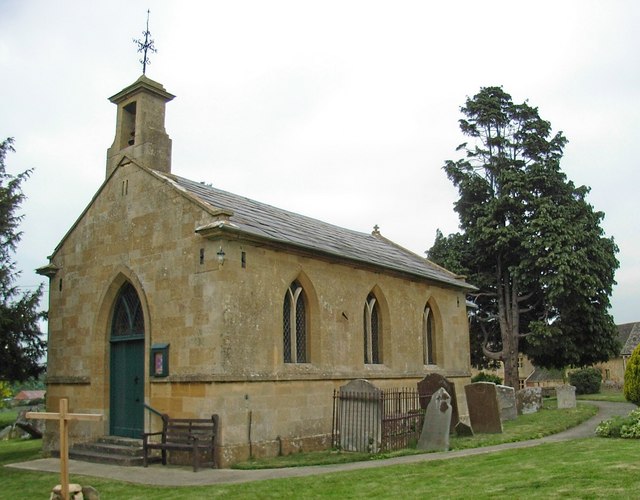
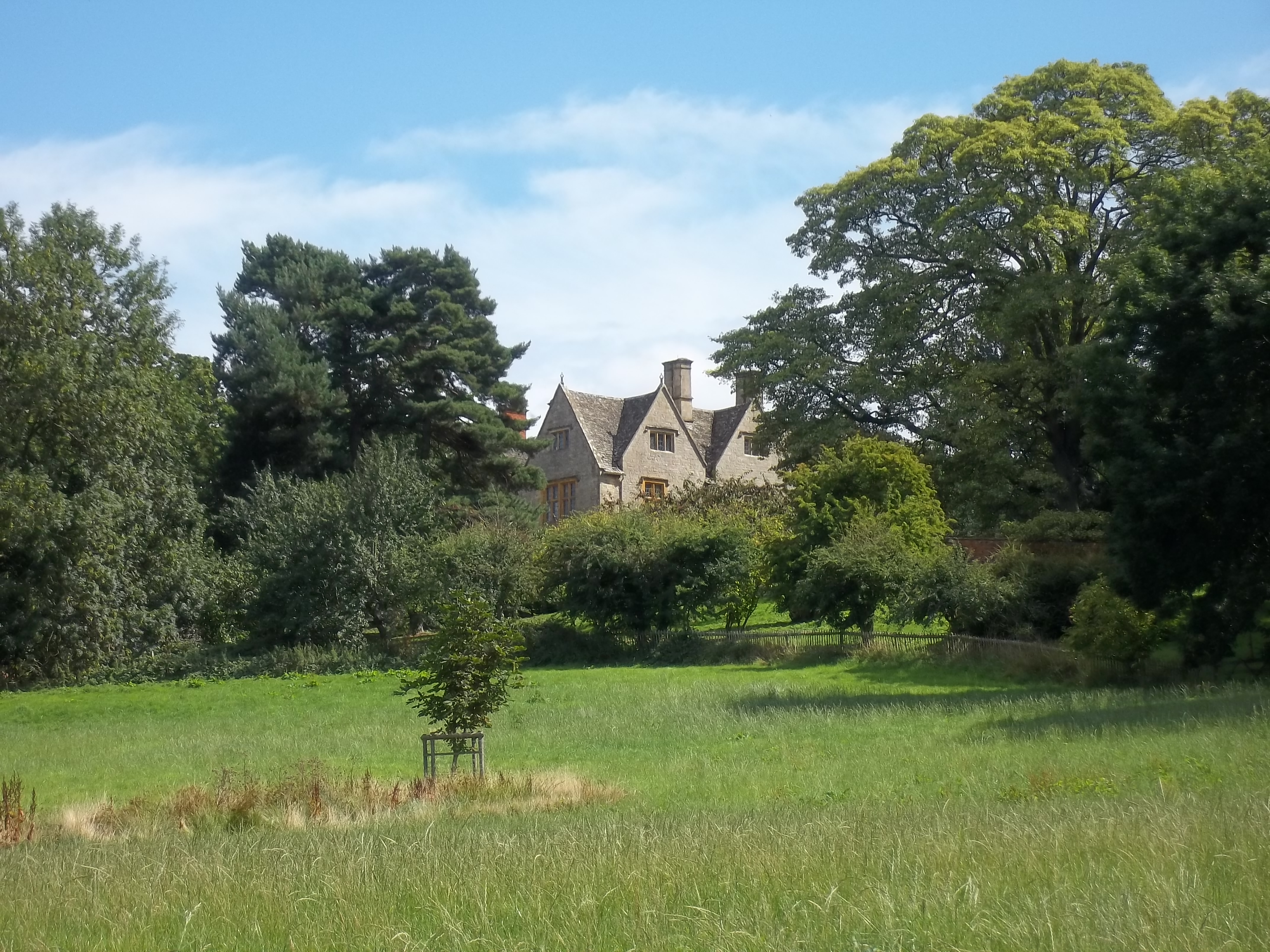
Despite its modest size, Aston Subedge boasts a rich history, dating back to the medieval period. The village is characterized by its charming thatched-roof cottages, honey-colored limestone buildings, and beautifully manicured gardens, which are typical of the Cotswold region.
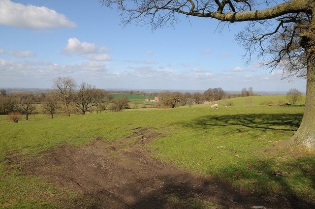
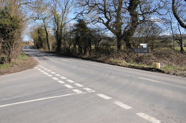
The village is surrounded by rolling green countryside, offering breathtaking views and ample opportunities for outdoor activities such as hiking, cycling, and horseback riding. The nearby Cotswold Way, a popular long-distance walking trail, passes through Aston Subedge, attracting visitors who appreciate the area's natural beauty.
Aston Subedge is also home to the renowned Ebrington Arms, a traditional English pub that has been serving locals and visitors alike for over 300 years. The pub is known for its warm atmosphere, delicious food, and wide selection of locally brewed ales.
Although Aston Subedge is a peaceful and tranquil village, it benefits from its proximity to larger towns and cities, where residents can access a range of amenities, including schools, shopping centers, and healthcare facilities.
Overall, Aston Subedge offers a quintessentially English village experience, with its idyllic setting, historical charm, and friendly community, making it a desirable place to live or visit in Gloucestershire.
If you have any feedback on the listing, please let us know in the comments section below.
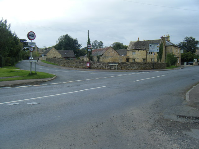
Aston Subedge Images
Images are sourced within 2km of 52.071335/-1.799653 or Grid Reference SP1341. Thanks to Geograph Open Source API. All images are credited.


Aston Subedge is located at Grid Ref: SP1341 (Lat: 52.071335, Lng: -1.799653)
Administrative County: Gloucestershire
District: Cotswold
Police Authority: Gloucestershire
What 3 Words
///secretly.stint.almost. Near Chipping Campden, Gloucestershire
Nearby Locations
Related Wikis
Aston-sub-Edge
Aston Subedge (also written Aston-sub-Edge) is a village and civil parish in the Cotswold district of Gloucestershire, England, close by the border with...
Burnt Norton (house)
Burnt Norton is a manor house in Aston-sub-Edge, near Chipping Campden, Gloucestershire, best known for being the inspiration for T. S. Eliot's poem of...
Weston-sub-Edge
Weston-sub-Edge (also known as Weston Subedge) is a village in Gloucestershire, England. == History == This Cotswold village, recorded in the Domesday...

Mickleton Halt railway station
Mickleton Halt was a railway station on the Great Western Railway line between Oxford and Worcester Shrub Hill to serve Mickleton and the surrounding villages...
Dover's Hill
Dover's Hill is a 754 feet (230 metres) hill in the Cotswolds area of central England. The hill is 1 mile (1.6 km) north-west of Chipping Campden in Gloucestershire...

Weston-sub-Edge railway station
Weston-sub-Edge railway station is a disused station on the Honeybourne Line from Stratford-upon-Avon to Cheltenham which served the village of Weston...

Campden Tunnel Gravel Pit
Campden Tunnel Gravel Pit (grid reference SP161408) is a 0.2-hectare (0.49-acre) geological Site of Special Scientific Interest in Gloucestershire, notified...
Chipping Campden School
Chipping Campden School is a non-selective secondary school and sixth form with academy status located in Chipping Campden, in the English county of Gloucestershire...
Related Videos

Cotswold Way - Day 1 of 8 - Chipping to Winchcombe - England's most scenic & interesting hike
Cotswold Way Day 1 Chipping Campden to Winchcombe In anticipation of a fairly long day of 16 miles we had breakfast relatively ...

Hiking in England - 16 Miles on The Cotswold Way.
The Cotswold Way is a 102 mile national trail here in the UK. It starts in Chipping Campden and ends in the City of Bath. In this ...
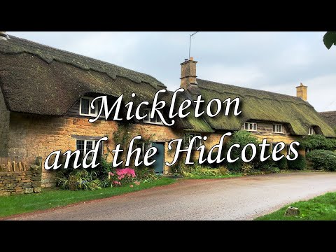
Mickleton and The Hidcotes. Walking the Cotswolds. Stone cottages, thatched roofs and countryside.
A morning walk around Mickleton, The Hidcotes and the surrounding countryside in The Cotswolds, Gloucestershire England, UK.

What To Pack For The Cotswold Way | Packing Your Pack
The Cotswold Way runs for 102 miles from Chipping Champden to Bath along the Cotswold Hills. In this video Abbie explores the ...
Nearby Amenities
Located within 500m of 52.071335,-1.799653Have you been to Aston Subedge?
Leave your review of Aston Subedge below (or comments, questions and feedback).