Aston Sq
Settlement in Shropshire
England
Aston Sq

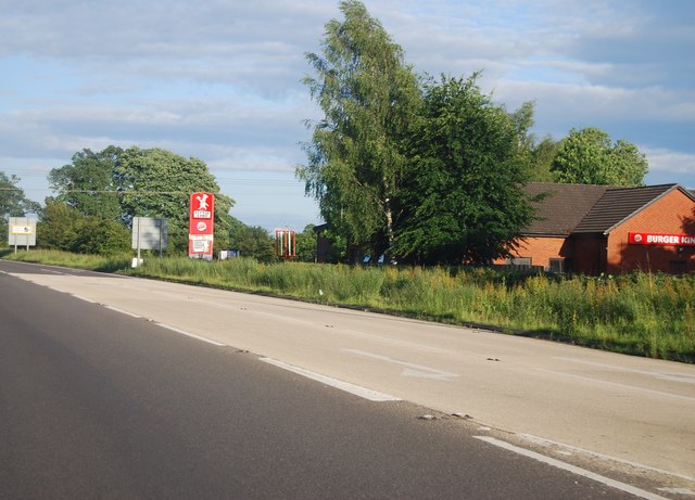
Aston Square is a small village located in the county of Shropshire, England. Situated in the West Midlands region, it lies approximately 5 miles southeast of the county town of Shrewsbury. With a population of around 500 residents, Aston Square is known for its peaceful and rural setting, characterized by rolling hills and picturesque landscapes.
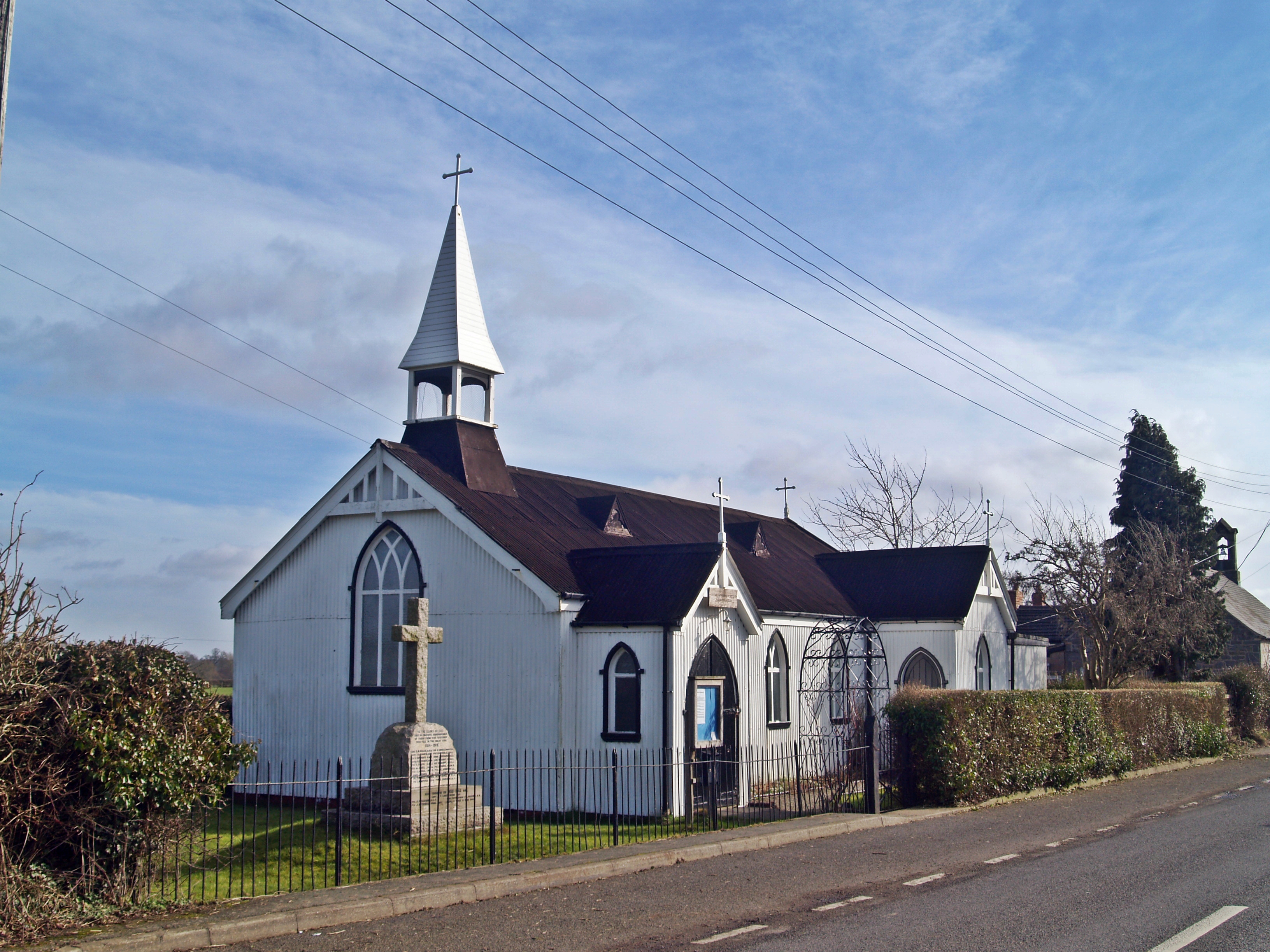
The village is centered around a traditional village square, which serves as a focal point for community gatherings and events. The square features a charming mix of historic buildings, including a 12th-century church, St. Michael's, which stands as a testament to the area's rich history. The church is known for its beautiful stained glass windows and intricate stonework.
Aston Square also boasts a number of amenities to cater to the needs of its residents. These include a village shop, a primary school, and a village hall that serves as a hub for various activities and social gatherings. The surrounding countryside provides ample opportunities for outdoor activities, such as hiking, cycling, and horseback riding.
The village is well-connected to the wider area, with good transport links to nearby towns and cities. The A5 road runs close by, providing easy access to Shrewsbury and other major destinations. Additionally, Aston Square benefits from a regular bus service, offering convenient transportation options for both residents and visitors.
Overall, Aston Square offers a tranquil and close-knit community atmosphere, making it an attractive place to live for those seeking a peaceful rural lifestyle in the heart of Shropshire.
If you have any feedback on the listing, please let us know in the comments section below.
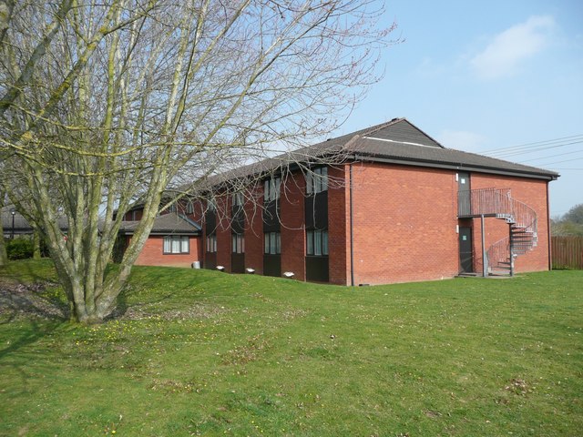
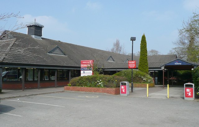
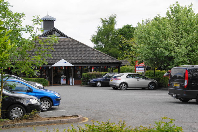
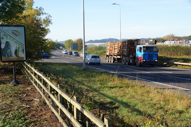
Aston Sq Images
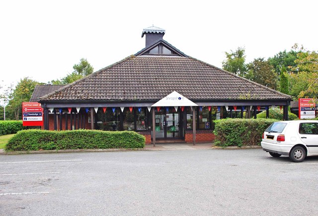
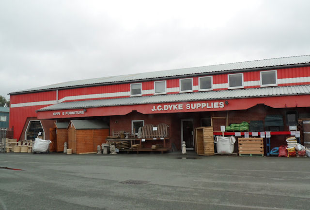
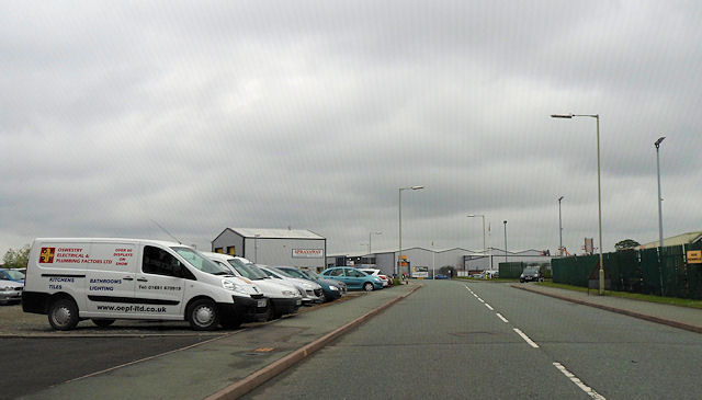
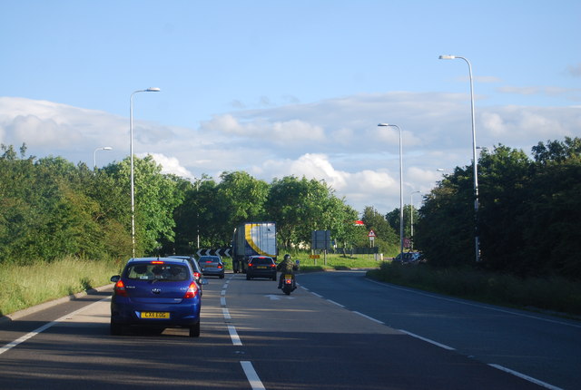
Images are sourced within 2km of 52.845194/-3.0110757 or Grid Reference SJ3228. Thanks to Geograph Open Source API. All images are credited.


Aston Sq is located at Grid Ref: SJ3228 (Lat: 52.845194, Lng: -3.0110757)
Unitary Authority: Shropshire
Police Authority: West Mercia
What 3 Words
///hunk.explores.trending. Near Whittington, Shropshire
Nearby Locations
Related Wikis
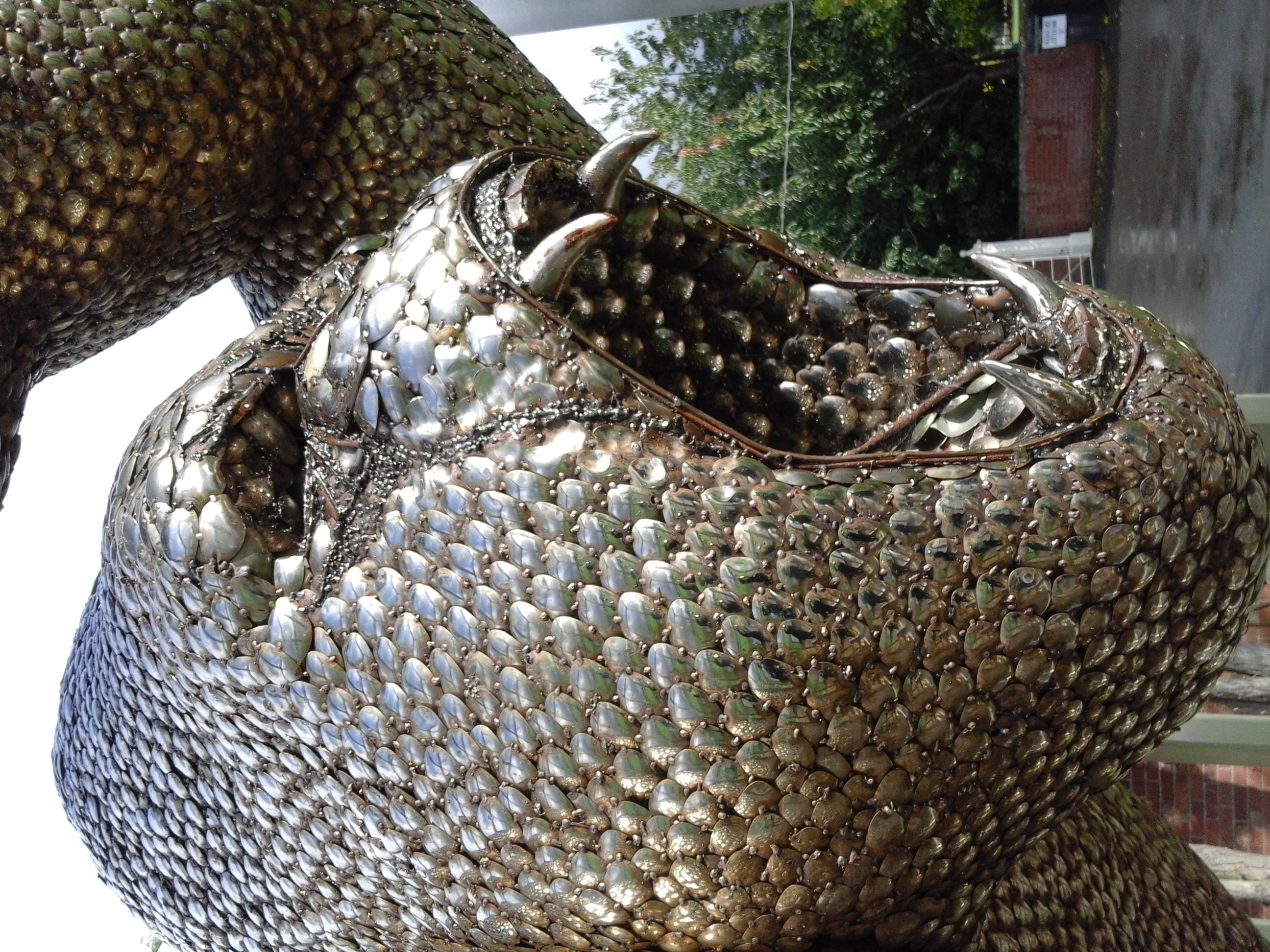
British Ironworks Centre & Shropshire Sculpture Park
The British Ironworks Centre & Shropshire Sculpture Park is a forge, silversmiths and sculpture park with a large showroom near Oswestry in Shropshire...

North Shropshire College
North Shropshire College is a further education college in Shropshire, England and is part of Herefordshire, Ludlow and North Shropshire College. It has...

Weston Wharf railway station
Weston Wharf is a railway station on the Cambrian Heritage Railways' line in Shropshire on the former Oswestry and Newtown Railway. It is located just...
Maesbury
Maesbury is a small scattered community in Shropshire, England, south of the town of Oswestry, falling within the Oswestry Rural parish. The name is derived...
Ashfield, Shropshire
Ashfield is a hamlet in Shropshire, England. It is situated about a minor crossroads, just to the northwest of Maesbury Marsh, at an elevation of 84 metres...
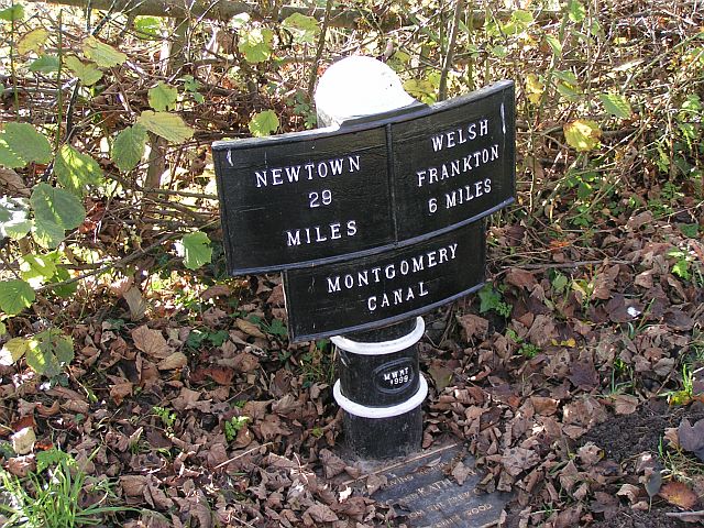
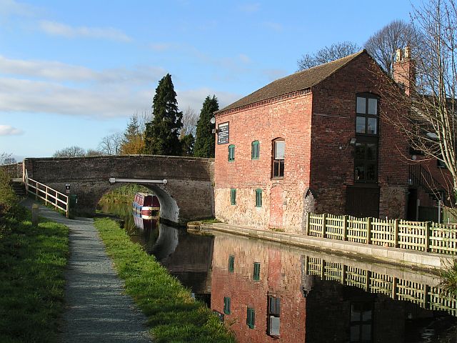
Montgomery Canal
The Montgomery Canal (Welsh: Camlas Trefaldwyn), known colloquially as "The Monty", is a partially restored canal in eastern Powys and northwest Shropshire...
Tinkers Green Halt railway station
Tinkers Green Halt railway station was a station in Oswestry, Shropshire, England. The station was opened on 16 October 1939 and closed on 18 January 1965...
Plas Wilmot
Plas Wilmot is a substantial suburban villa near Oswestry in the United Kingdom. The house was originally constructed c.1829 of red brick with slate roof...
Nearby Amenities
Located within 500m of 52.845194,-3.0110757Have you been to Aston Sq?
Leave your review of Aston Sq below (or comments, questions and feedback).