Banky Shaw
Wood, Forest in Sussex Wealden
England
Banky Shaw
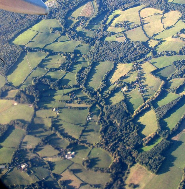
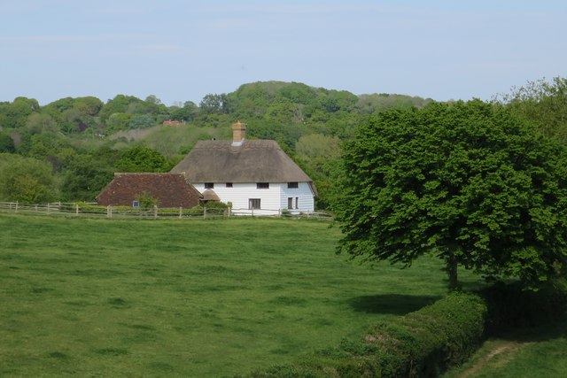
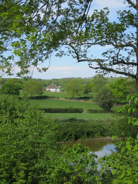
Banky Shaw is a small woodland area located in Sussex, England. Situated in the heart of the county, this forested region covers an estimated area of approximately 200 acres. The woodland is characterized by its dense canopy of trees, predominantly consisting of oak, beech, and birch.
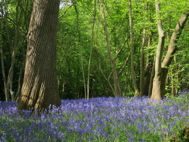
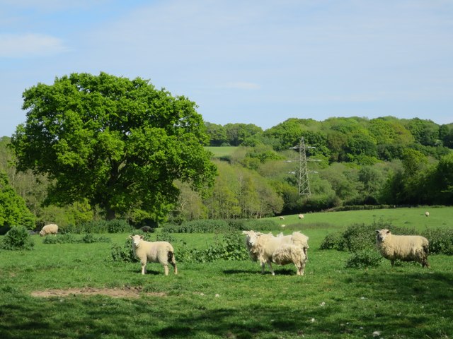
Banky Shaw boasts a rich biodiversity, providing a habitat for numerous plant and animal species. The forest floor is carpeted with a variety of wildflowers, including bluebells and primroses, creating a vibrant and picturesque landscape during the spring months. The towering trees provide a sanctuary for birds, such as woodpeckers and owls, which can often be heard and spotted throughout the woodlands.
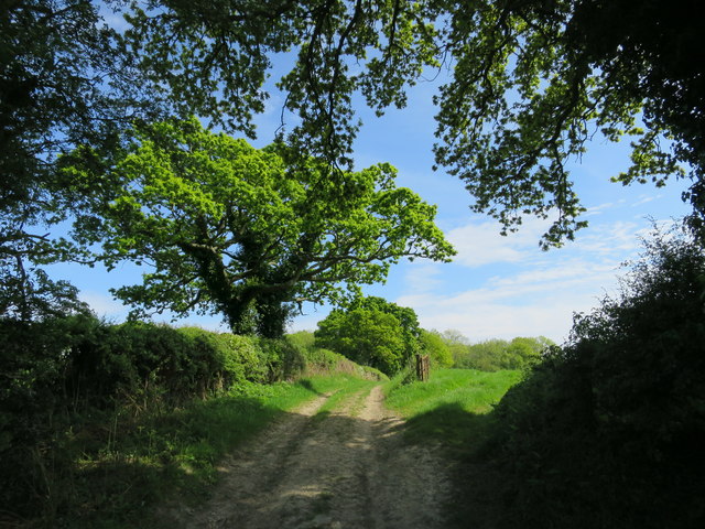
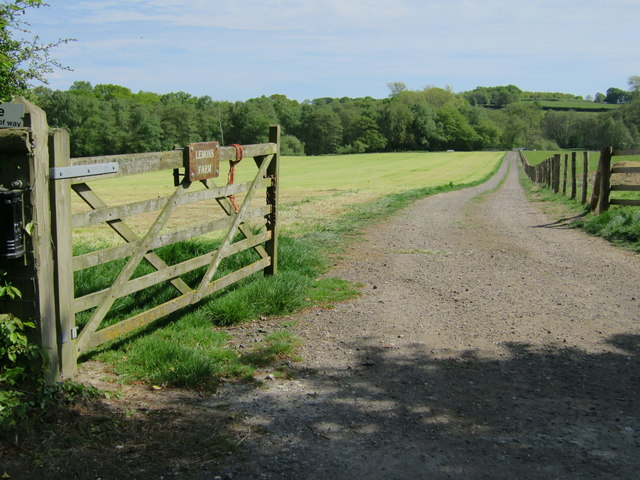
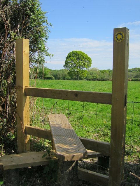
The forest is crisscrossed by a network of footpaths and trails, allowing visitors to explore the area and immerse themselves in nature. Hiking and walking are popular activities within Banky Shaw, as visitors can enjoy the tranquility and beauty of the surroundings. Additionally, the forest is equipped with picnic areas and benches, offering a perfect spot for a relaxing outdoor lunch or a peaceful break.
Banky Shaw is managed by the local forestry commission, ensuring the preservation and conservation of the woodland. The commission regularly carries out maintenance work, including tree thinning and path upkeep, to ensure the safety and accessibility of the area.
Overall, Banky Shaw is a picturesque woodland retreat, offering a peaceful and natural escape for visitors. With its diverse flora and fauna, well-maintained trails, and serene atmosphere, it is a cherished natural gem within the Sussex countryside.
If you have any feedback on the listing, please let us know in the comments section below.
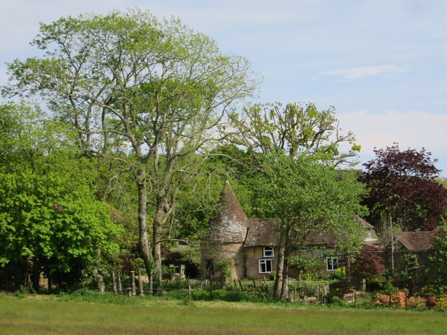
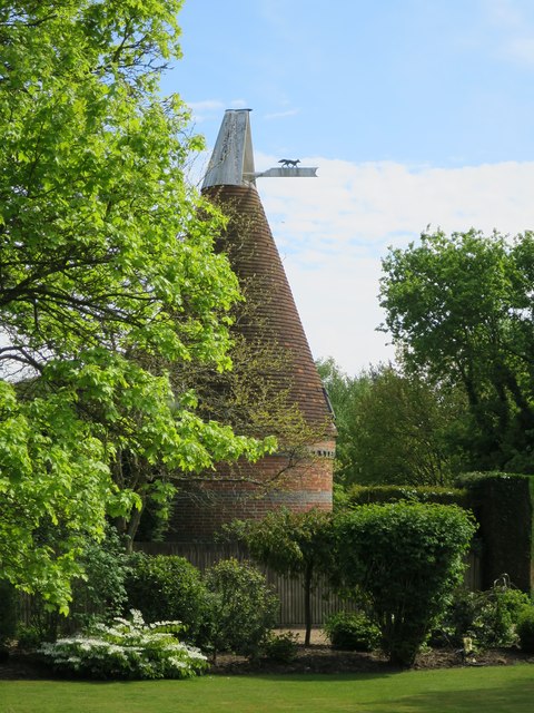
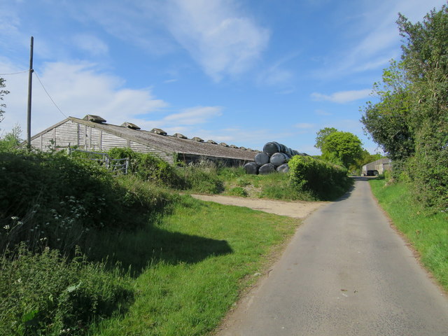
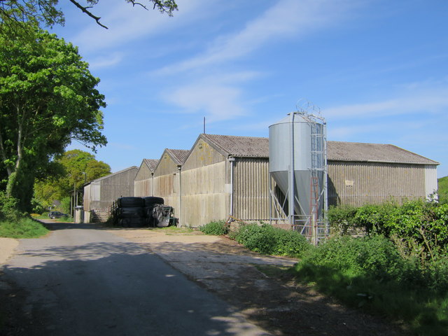
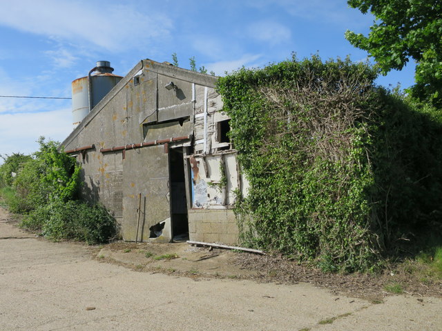
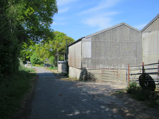
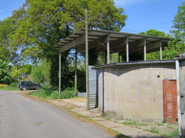
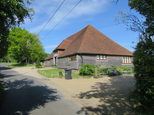
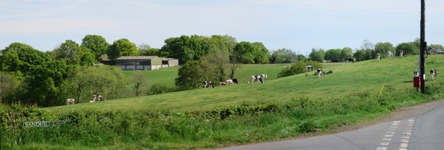
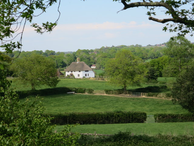
Banky Shaw Images
Images are sourced within 2km of 50.930548/0.33310133 or Grid Reference TQ6417. Thanks to Geograph Open Source API. All images are credited.
Banky Shaw is located at Grid Ref: TQ6417 (Lat: 50.930548, Lng: 0.33310133)
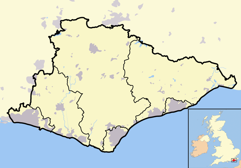
Administrative County: East Sussex
District: Wealden
Police Authority: Sussex
What 3 Words
///slyly.correct.forge. Near Bodle Street, East Sussex
Nearby Locations
Related Wikis
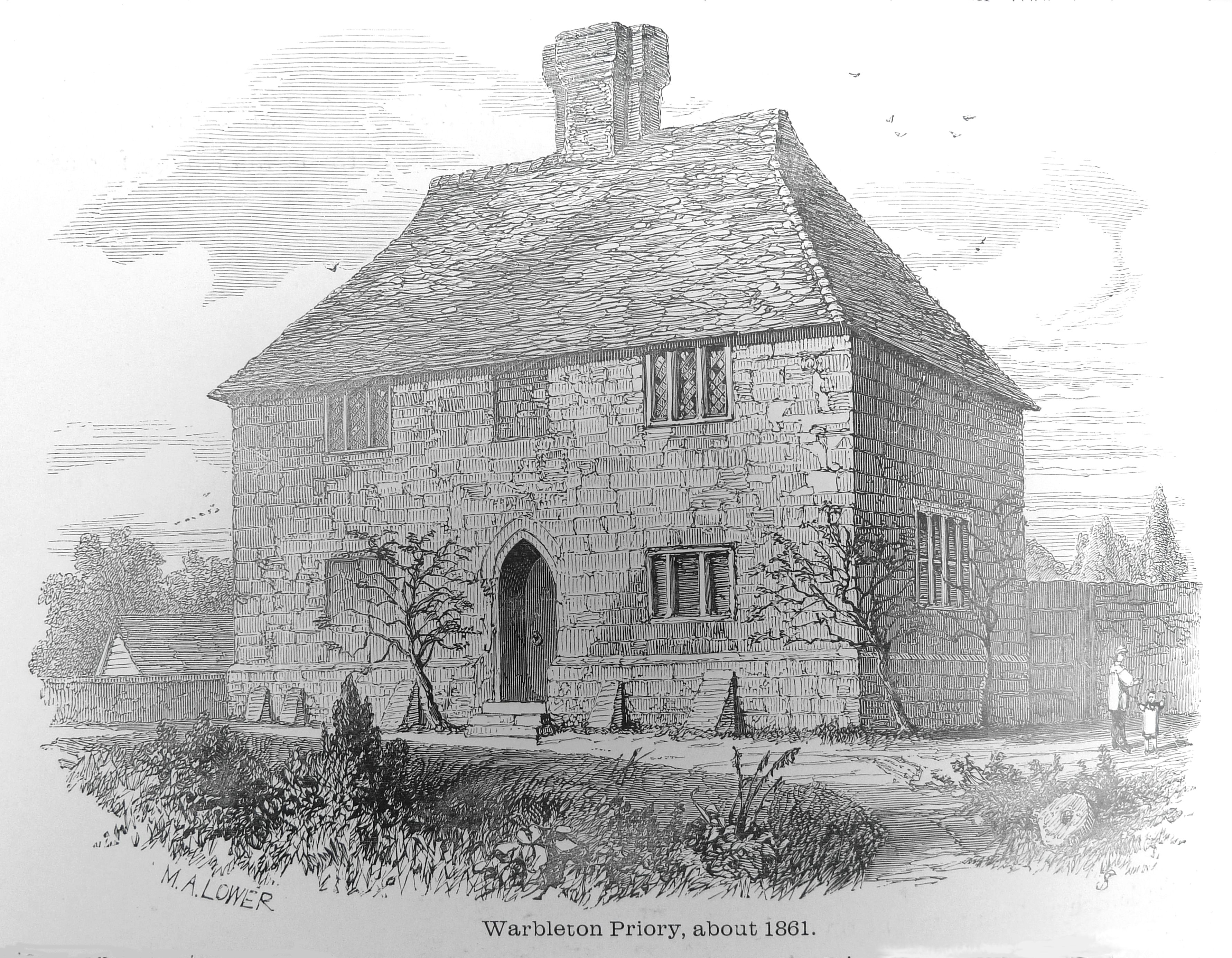
Warbleton Priory
Warbleton Priory was a medieval monastic house in East Sussex, England. The current house is a Grade II* listed building. == References == == External... ==
List of local nature reserves in East Sussex
Local Nature Reserves (LNRs) are designated by local authorities under the National Parks and Access to the Countryside Act 1949. The local authority must...
List of Sites of Special Scientific Interest in East Sussex
In England, Sites of Special Scientific Interest (SSSIs) are designated by Natural England, which is responsible for protecting England's natural environment...

Rushlake Green
Rushlake Green is a small village in the civil parish of Warbleton in the Wealden district of East Sussex, England. Rushlake Green is situated on the slopes...

Dallington, East Sussex
Dallington is a village and civil parish in the Rother district of East Sussex, England. It is located eight miles (13 km) west of Battle and five miles...

East Sussex
East Sussex is a ceremonial county in South East England. It is bordered by Kent to the north-east, West Sussex to the west, Surrey to the north-west,...
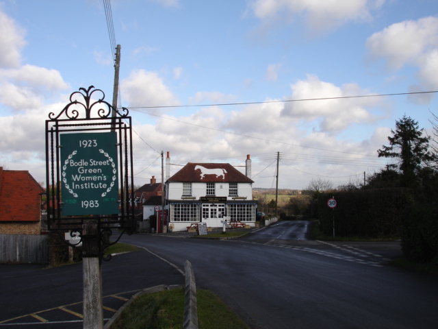
Bodle Street Green
Bodle Street Green is a small village in the civil parish of Warbleton, in the Wealden district of East Sussex, England. Its nearest town is Hailsham,...

Warbleton
Warbleton is a village and civil parish in the Wealden district of East Sussex, England. Within its bounds are three other settlements. It is located south...
Nearby Amenities
Located within 500m of 50.930548,0.33310133Have you been to Banky Shaw?
Leave your review of Banky Shaw below (or comments, questions and feedback).