Steele's Wood
Wood, Forest in Kent Gravesham
England
Steele's Wood
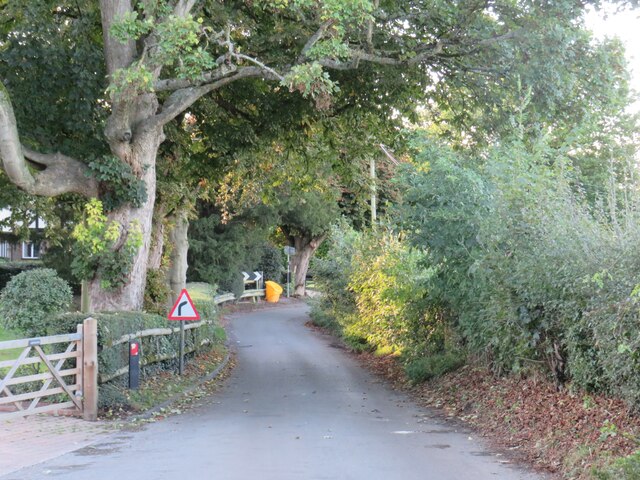
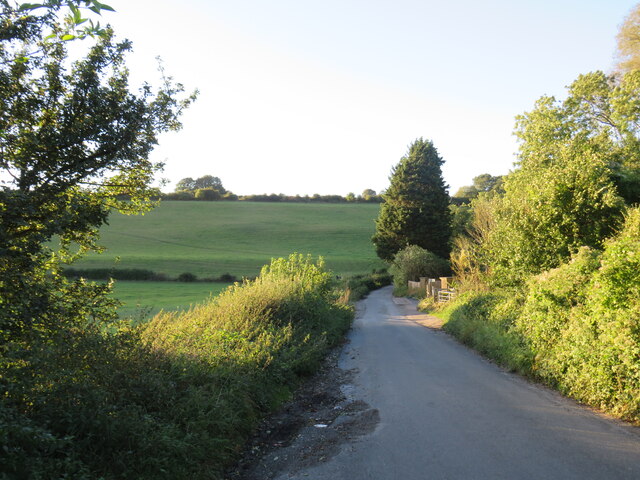
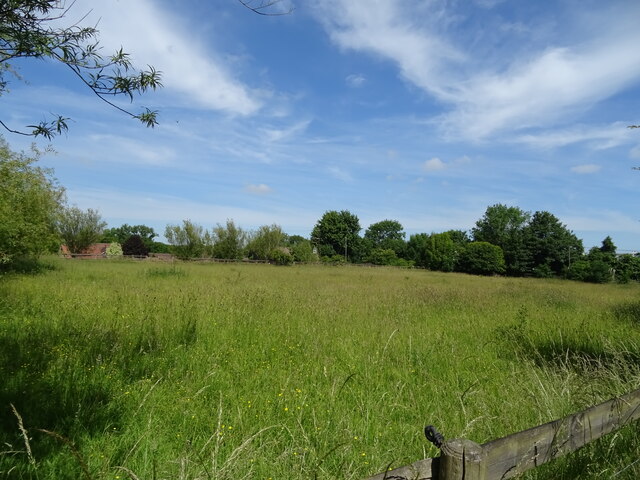
Steele's Wood is a charming forest located in the county of Kent, England. Spanning over an area of several acres, it is a popular destination for nature enthusiasts, hikers, and bird watchers alike. The wood is known for its diverse range of flora and fauna, making it an important ecological site in the region.
The woodland is predominantly made up of deciduous trees, including oak, beech, and ash, which create a picturesque landscape throughout the year. During spring and summer, the forest is adorned with a vibrant display of wildflowers, adding to its natural beauty.
Steele's Wood is also home to a variety of wildlife species. Bird lovers can spot an array of feathered friends such as woodpeckers, thrushes, and owls. Squirrels, foxes, and badgers also inhabit the wood, adding to the rich biodiversity of the area.
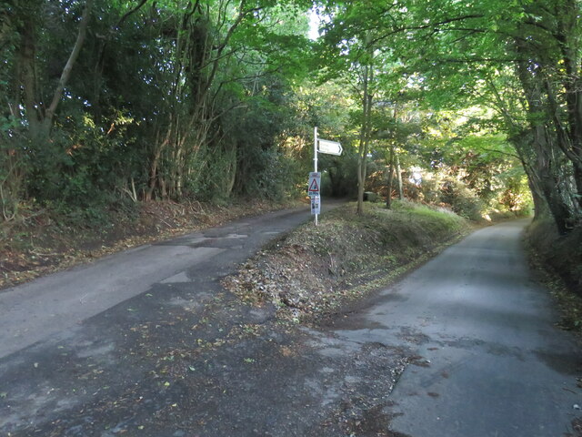
Visitors to Steele's Wood can enjoy a network of well-maintained walking trails that meander through the forest, providing an opportunity to immerse oneself in nature. The peaceful ambiance and tranquil atmosphere make it an ideal place for relaxation and meditation.
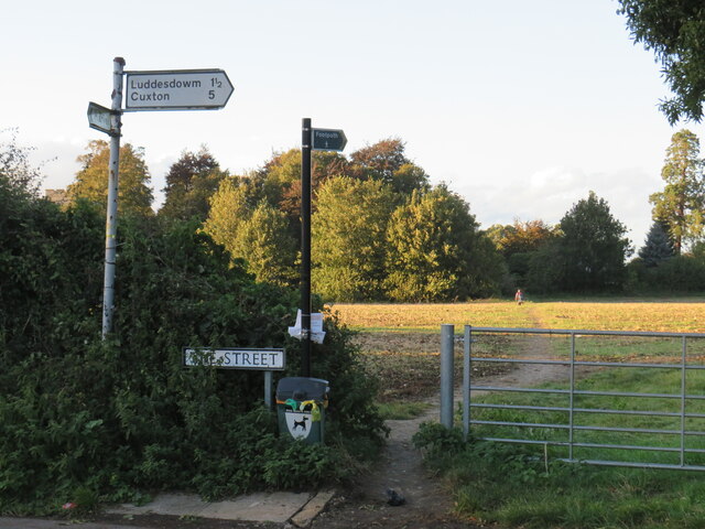
The wood is easily accessible, with ample parking facilities and well-marked signposts guiding visitors. It is advisable to check for any local events or temporary closures before planning a visit.
Overall, Steele's Wood is a haven for nature lovers, offering a serene environment, breathtaking views, and a chance to connect with the natural world. It serves as a reminder of the importance of preserving and protecting our natural heritage.
If you have any feedback on the listing, please let us know in the comments section below.
Steele's Wood Images
Images are sourced within 2km of 51.355937/0.35462484 or Grid Reference TQ6464. Thanks to Geograph Open Source API. All images are credited.


Steele's Wood is located at Grid Ref: TQ6464 (Lat: 51.355937, Lng: 0.35462484)
Administrative County: Kent
District: Gravesham
Police Authority: Kent
What 3 Words
///orders.traded.winner. Near Meopham, Kent
Nearby Locations
Related Wikis

Meopham air disaster
The Meopham Air Disaster occurred on 21 July 1930 when a Junkers F.13ge flying from Le Touquet to Croydon with two crew and four passengers crashed near...

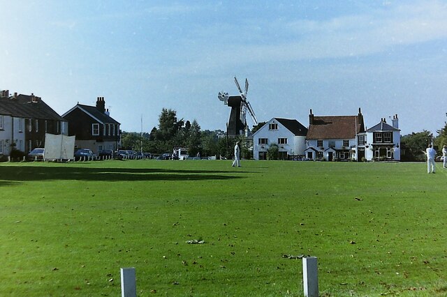
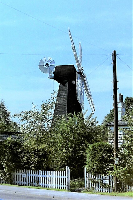
Killick's Mill, Meopham
Killick's Mill is a Grade II* listed smock mill in Meopham, Kent, England that was built in 1801 and which has been restored. == History == Killick's...

Meopham
Meopham is a large linear village and civil parish in the Borough of Gravesham in north-west Kent, England, lying to the south of Gravesend. The parish...

Meopham School
Meopham School is a Coeducational secondary school with approximately 950 students, located in Meopham, Kent, England, UK. The school is non-selective...
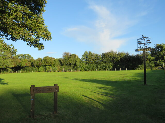
Harvel
Harvel is a village in the civil parish of Meopham in the west of the county of Kent, England. It is sited on the southern edge of the North Downs. The...

Camer Park Country Park
Camer Country Park is in Meopham, in Kent, England. It is a former estate landscape, with grassland and woodland. == History == This park was originally...

Ridley, Kent
Ridley is a place and former civil parish, now in the parish of Ash-cum-Ridley, in the Sevenoaks district, in the county of Kent, England. It lies between...
Dode, Kent
Dode (in Old English, Dowde) was a village in England that was wiped out by the Black Death in 1349. All that remains is the deconsecrated church, which...
Nearby Amenities
Located within 500m of 51.355937,0.35462484Have you been to Steele's Wood?
Leave your review of Steele's Wood below (or comments, questions and feedback).