Beechfield Wood
Wood, Forest in Kent Gravesham
England
Beechfield Wood
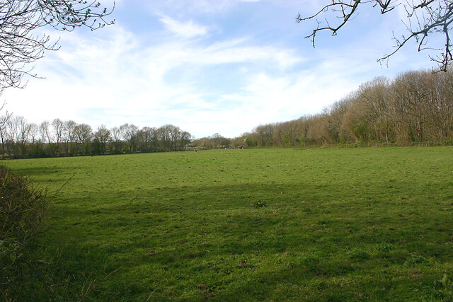
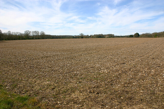
Beechfield Wood is a picturesque woodland located in the county of Kent, England. Spanning over an area of approximately 100 acres, this enchanting forest is nestled in the heart of the Kent Downs Area of Outstanding Natural Beauty.
The wood is predominantly composed of beech trees, which give it its name, but it also features a diverse range of other tree species such as oak, ash, and hazel. The dense canopy created by these towering trees provides a haven for a wide variety of wildlife, making it a popular destination for nature enthusiasts and birdwatchers alike.
Visitors to Beechfield Wood can explore the numerous winding pathways that meander through the forest, offering an opportunity to immerse oneself in the tranquility of nature. The woodland floor is adorned with a vibrant carpet of bluebells in the spring, creating a breathtaking sight that attracts many visitors during this season.
The wood is also home to a rich array of flora and fauna, including rare species such as the silver-washed fritillary butterfly and the lesser spotted woodpecker. It is not uncommon to spot squirrels darting between the trees or catch a glimpse of a roe deer gracefully bounding through the undergrowth.
For those seeking a peaceful retreat from the hustle and bustle of everyday life, Beechfield Wood provides a serene and idyllic setting. Whether it is a leisurely stroll, birdwatching, or simply enjoying the beauty of nature, this enchanting woodland offers a memorable experience for all who visit.
If you have any feedback on the listing, please let us know in the comments section below.
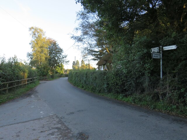
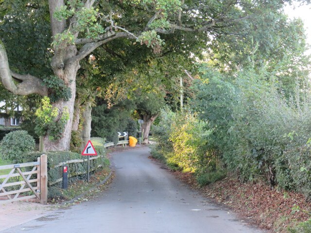
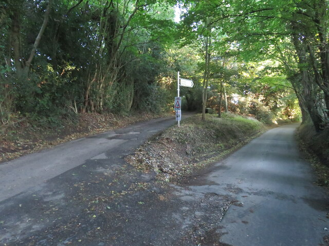
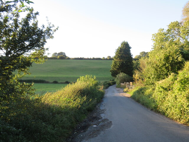
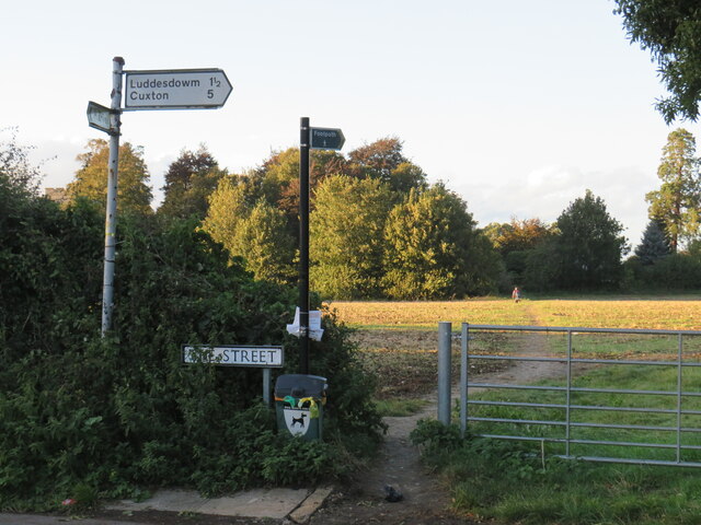
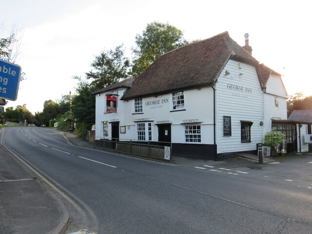
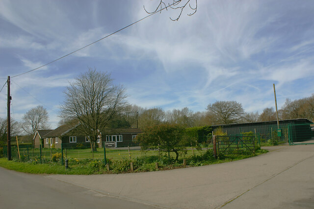
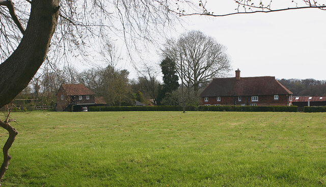
Beechfield Wood Images
Images are sourced within 2km of 51.352402/0.3581922 or Grid Reference TQ6464. Thanks to Geograph Open Source API. All images are credited.


Beechfield Wood is located at Grid Ref: TQ6464 (Lat: 51.352402, Lng: 0.3581922)
Administrative County: Kent
District: Gravesham
Police Authority: Kent
What 3 Words
///hatch.email.shrimp. Near Culverstone Green, Kent
Nearby Locations
Related Wikis

Meopham air disaster
The Meopham Air Disaster occurred on 21 July 1930 when a Junkers F.13ge flying from Le Touquet to Croydon with two crew and four passengers crashed near...

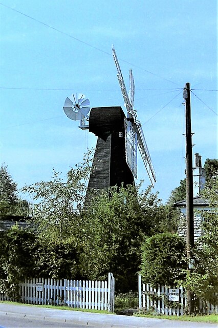
Killick's Mill, Meopham
Killick's Mill is a Grade II* listed smock mill in Meopham, Kent, England that was built in 1801 and which has been restored. == History == Killick's...
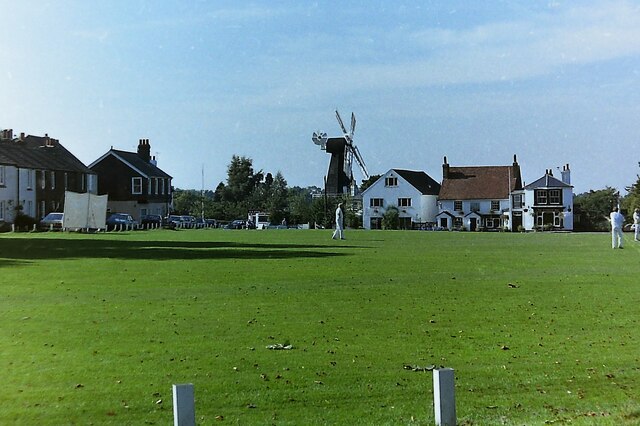
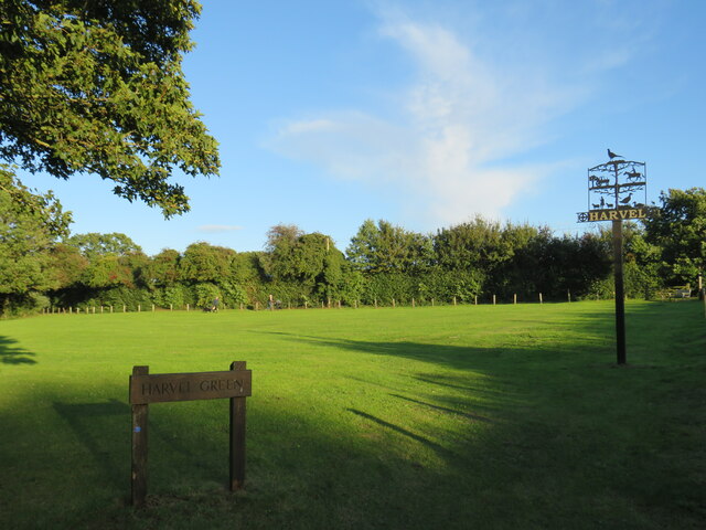
Harvel
Harvel is a village in the civil parish of Meopham in the west of the county of Kent, England. It is sited on the southern edge of the North Downs. The...

Meopham
Meopham is a large linear village and civil parish in the Borough of Gravesham in north-west Kent, England, lying to the south of Gravesend. The parish...

Meopham School
Meopham School is a Coeducational secondary school with approximately 950 students, located in Meopham, Kent, England, UK. The school is non-selective...
Dode, Kent
Dode (in Old English, Dowde) was a village in England that was wiped out by the Black Death in 1349. All that remains is the deconsecrated church, which...

Vigo Village
Vigo Village is a village and (as simply Vigo) a civil parish in the Gravesham district in Kent, England. It takes its name from a 15th-century public...

Camer Park Country Park
Camer Country Park is in Meopham, in Kent, England. It is a former estate landscape, with grassland and woodland. == History == This park was originally...
Nearby Amenities
Located within 500m of 51.352402,0.3581922Have you been to Beechfield Wood?
Leave your review of Beechfield Wood below (or comments, questions and feedback).