Barnfield Wood
Wood, Forest in Sussex Wealden
England
Barnfield Wood

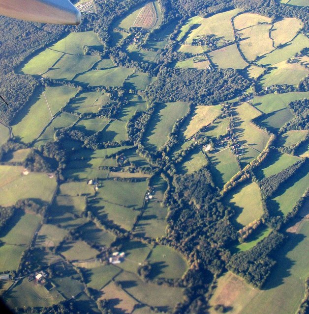
Barnfield Wood, located in Sussex, England, is a picturesque woodland area that covers an approximate area of [insert size] hectares. The wood is characterized by its diverse range of flora and fauna, making it a popular destination for nature enthusiasts and wildlife lovers.
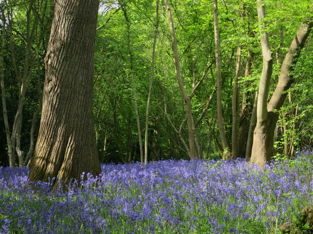
The wood is predominantly composed of native British broadleaf trees, including oak, beech, and ash, which create a dense canopy overhead. These trees provide a habitat for various species of birds, such as woodpeckers, owls, and thrushes, as well as mammals like deer, foxes, and squirrels.
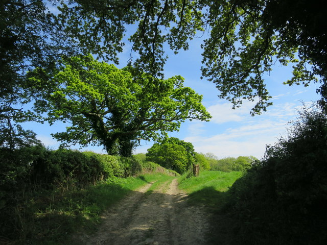
Visitors to Barnfield Wood can explore a network of well-maintained footpaths and trails, allowing them to immerse themselves in the tranquil surroundings. The wood is particularly beautiful during spring, when vibrant bluebells carpet the forest floor, creating a stunning floral display.
The management of Barnfield Wood is focused on maintaining its natural beauty and biodiversity. Local conservation groups work diligently to protect the woodland, managing invasive species and promoting sustainable practices. As a result, the wood has been recognized as an important site for conservation, contributing to the overall ecological health of the region.
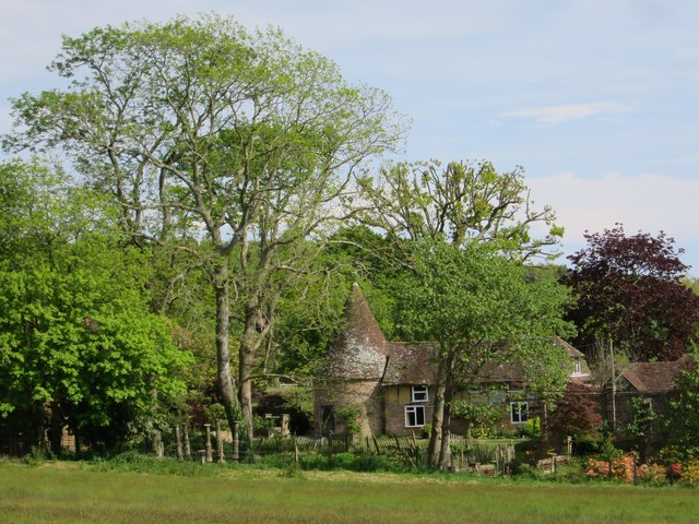
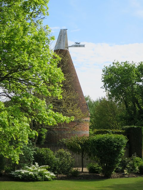
The wood also holds historical significance, with remnants of ancient woodland dating back centuries. These remnants are carefully preserved, offering visitors a glimpse into the area's rich cultural heritage.
Overall, Barnfield Wood is a cherished natural gem in Sussex, offering a peaceful and enchanting escape for those seeking a connection with nature.
If you have any feedback on the listing, please let us know in the comments section below.
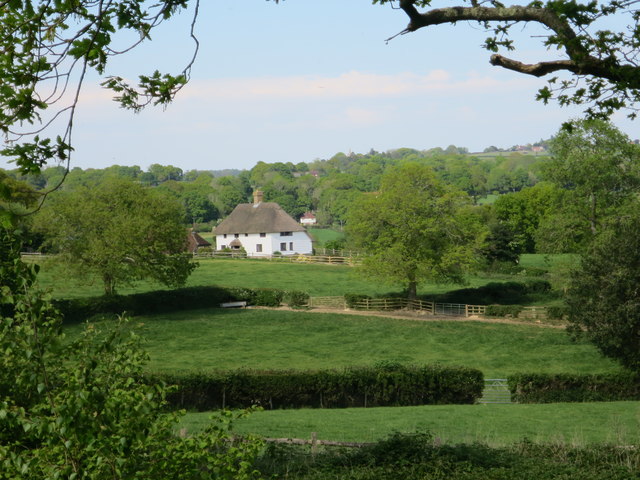
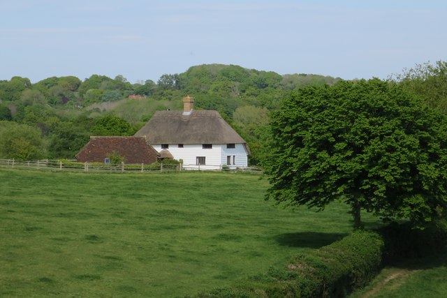
Barnfield Wood Images
Images are sourced within 2km of 50.929121/0.34502713 or Grid Reference TQ6417. Thanks to Geograph Open Source API. All images are credited.


Barnfield Wood is located at Grid Ref: TQ6417 (Lat: 50.929121, Lng: 0.34502713)
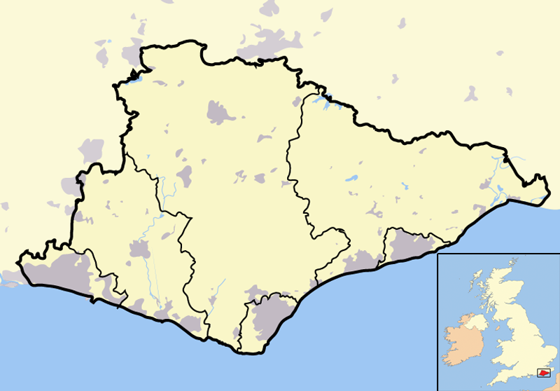
Administrative County: East Sussex
District: Wealden
Police Authority: Sussex
What 3 Words
///crimson.fortunate.chum. Near Bodle Street, East Sussex
Nearby Locations
Related Wikis
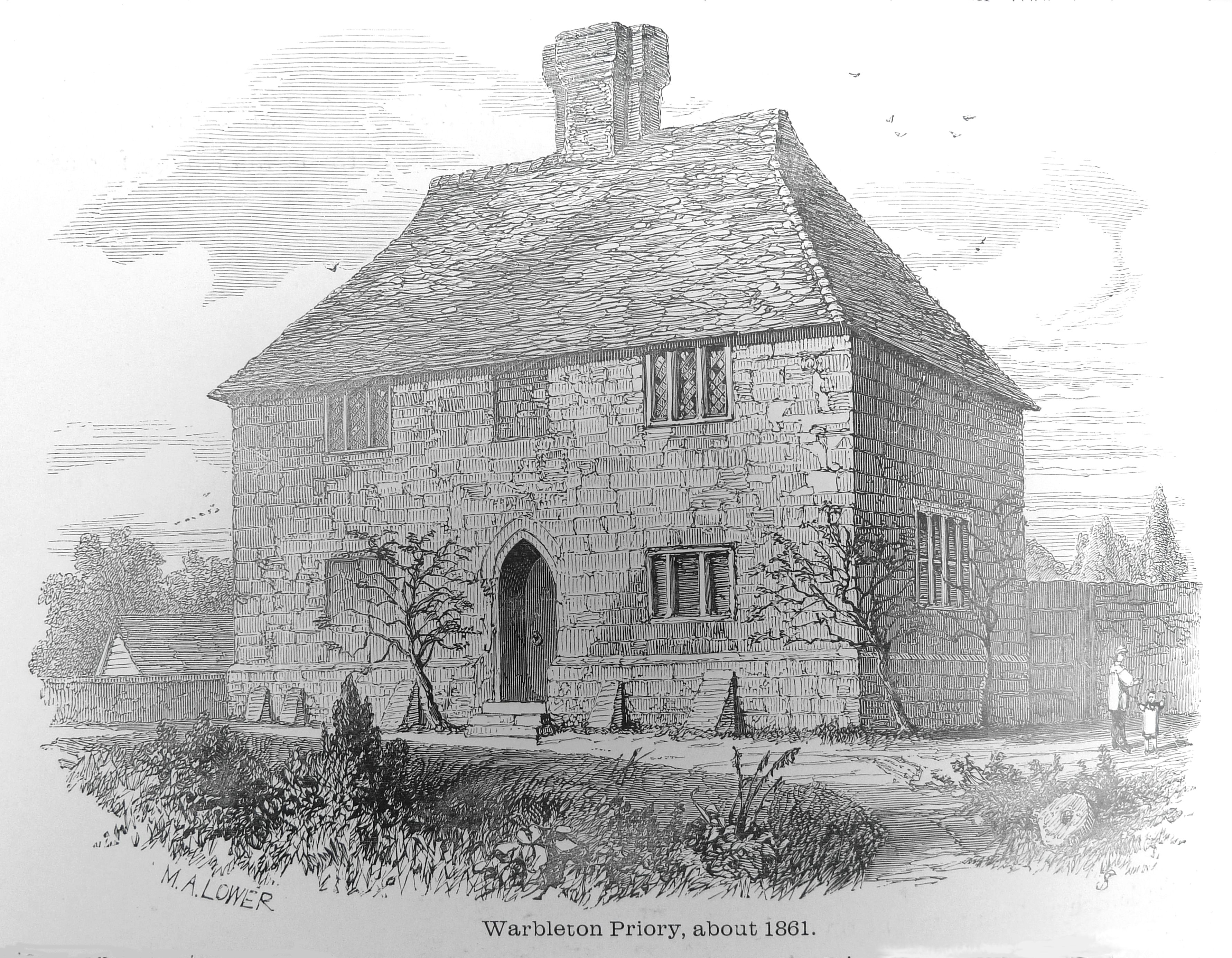
Warbleton Priory
Warbleton Priory was a medieval monastic house in East Sussex, England. The current house is a Grade II* listed building. == References == == External... ==
List of local nature reserves in East Sussex
Local Nature Reserves (LNRs) are designated by local authorities under the National Parks and Access to the Countryside Act 1949. The local authority must...
List of Sites of Special Scientific Interest in East Sussex
In England, Sites of Special Scientific Interest (SSSIs) are designated by Natural England, which is responsible for protecting England's natural environment...

East Sussex
East Sussex is a ceremonial county in South East England. It is bordered by Kent to the north-east, West Sussex to the west, Surrey to the north-west,...

Dallington, East Sussex
Dallington is a village and civil parish in the Rother district of East Sussex, England. It is located eight miles (13 km) west of Battle and five miles...

Rushlake Green
Rushlake Green is a small village in the civil parish of Warbleton in the Wealden district of East Sussex, England. Rushlake Green is situated on the slopes...
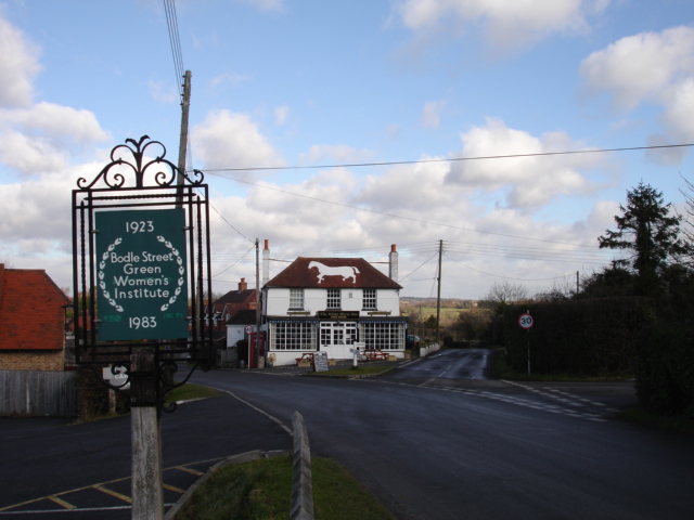
Bodle Street Green
Bodle Street Green is a small village in the civil parish of Warbleton, in the Wealden district of East Sussex, England. Its nearest town is Hailsham,...

Ashburnham, East Sussex
Ashburnham is a civil parish in the Rother district of East Sussex, England, situated to the west of Battle. It includes the settlements of Brownbread...
Nearby Amenities
Located within 500m of 50.929121,0.34502713Have you been to Barnfield Wood?
Leave your review of Barnfield Wood below (or comments, questions and feedback).