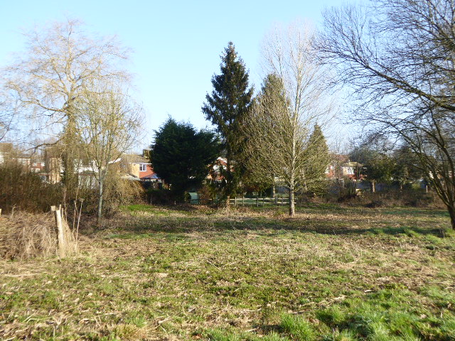
Curlsdown Wood
Wood, Forest in Sussex Wealden
England
Curlsdown Wood
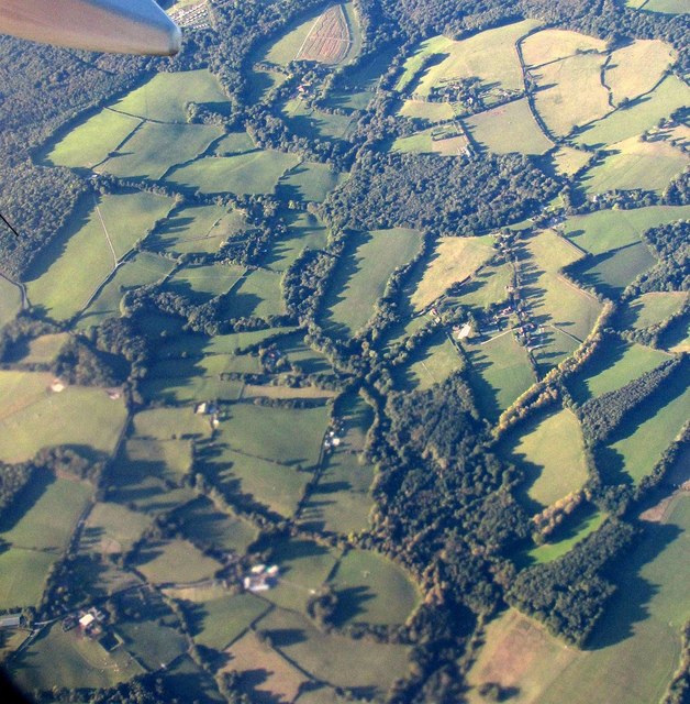
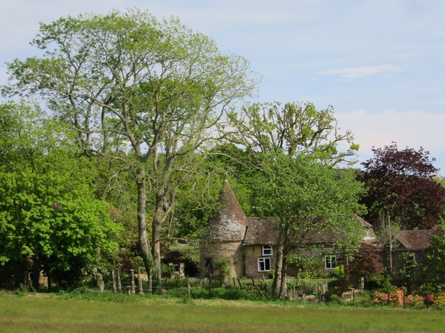
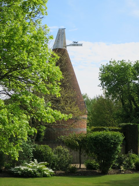
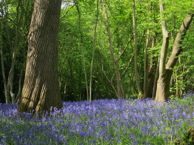
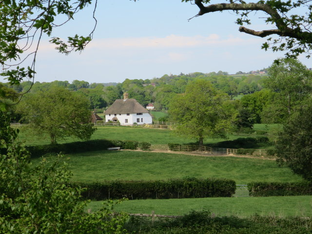
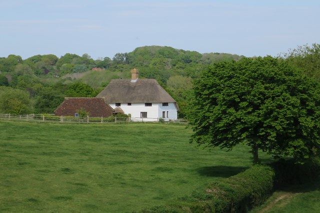
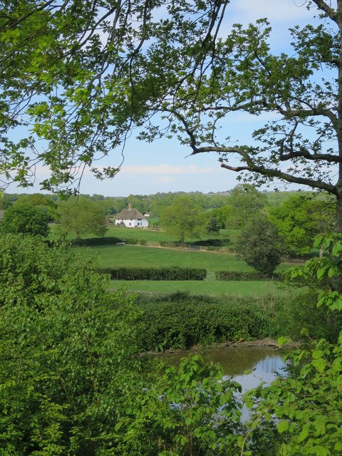
Curlsdown Wood is a picturesque forest located in Sussex, England. Covering an area of approximately 50 acres, this woodland is renowned for its natural beauty and tranquil atmosphere. The wood is situated near the village of Curlsdown, which is known for its charming countryside and stunning landscapes.
Curlsdown Wood is primarily composed of deciduous trees, such as oak, beech, and birch, which create a dense canopy overhead. The forest floor is covered in a thick carpet of moss, ferns, and wildflowers, making it a haven for various species of wildlife. Visitors to the wood can expect to see an array of birds, including woodpeckers, thrushes, and owls, as well as small mammals like squirrels, rabbits, and foxes.
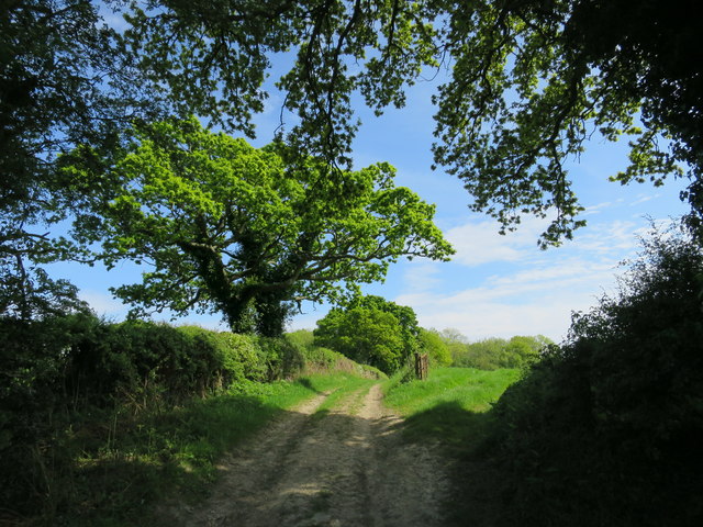
There are several walking trails that wind through Curlsdown Wood, allowing visitors to explore the forest at their own pace. These paths lead to hidden clearings, babbling brooks, and even a small lake, adding to the enchanting nature of the wood. Nature enthusiasts will find the wood to be a perfect spot for birdwatching, plant identification, or simply enjoying a peaceful stroll in a serene environment.
Curlsdown Wood is open to the public throughout the year and is a popular destination for outdoor enthusiasts, families, and nature lovers alike. Its proximity to other natural attractions in Sussex, such as the South Downs National Park, only enhances its appeal. Whether it's for a leisurely walk, a picnic, or an immersive nature experience, Curlsdown Wood offers a delightful retreat for anyone seeking solace in the beauty of the English countryside.
If you have any feedback on the listing, please let us know in the comments section below.
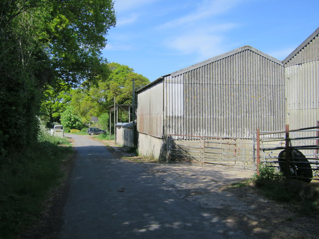
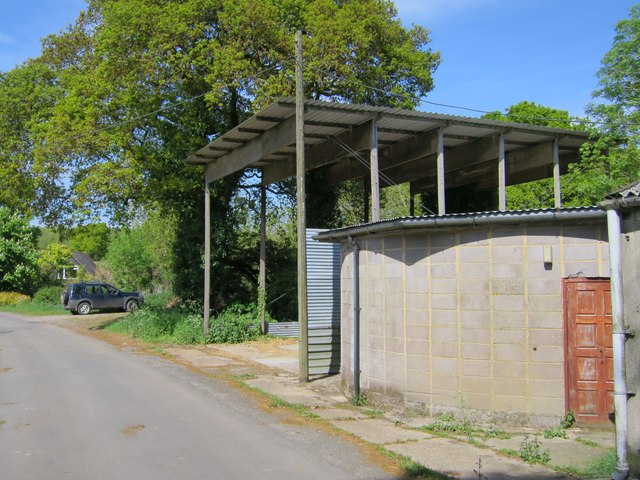
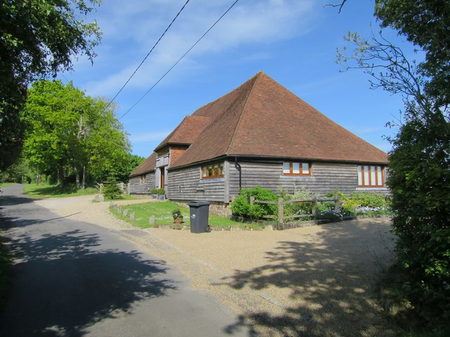
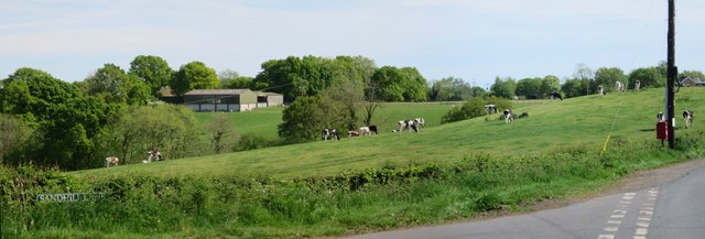
Curlsdown Wood Images
Images are sourced within 2km of 50.93199/0.34147101 or Grid Reference TQ6417. Thanks to Geograph Open Source API. All images are credited.


Curlsdown Wood is located at Grid Ref: TQ6417 (Lat: 50.93199, Lng: 0.34147101)
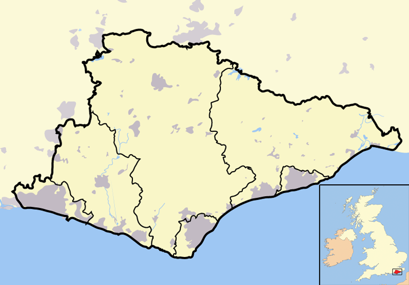
Administrative County: East Sussex
District: Wealden
Police Authority: Sussex
What 3 Words
///robot.remark.octagonal. Near Bodle Street, East Sussex
Nearby Locations
Related Wikis
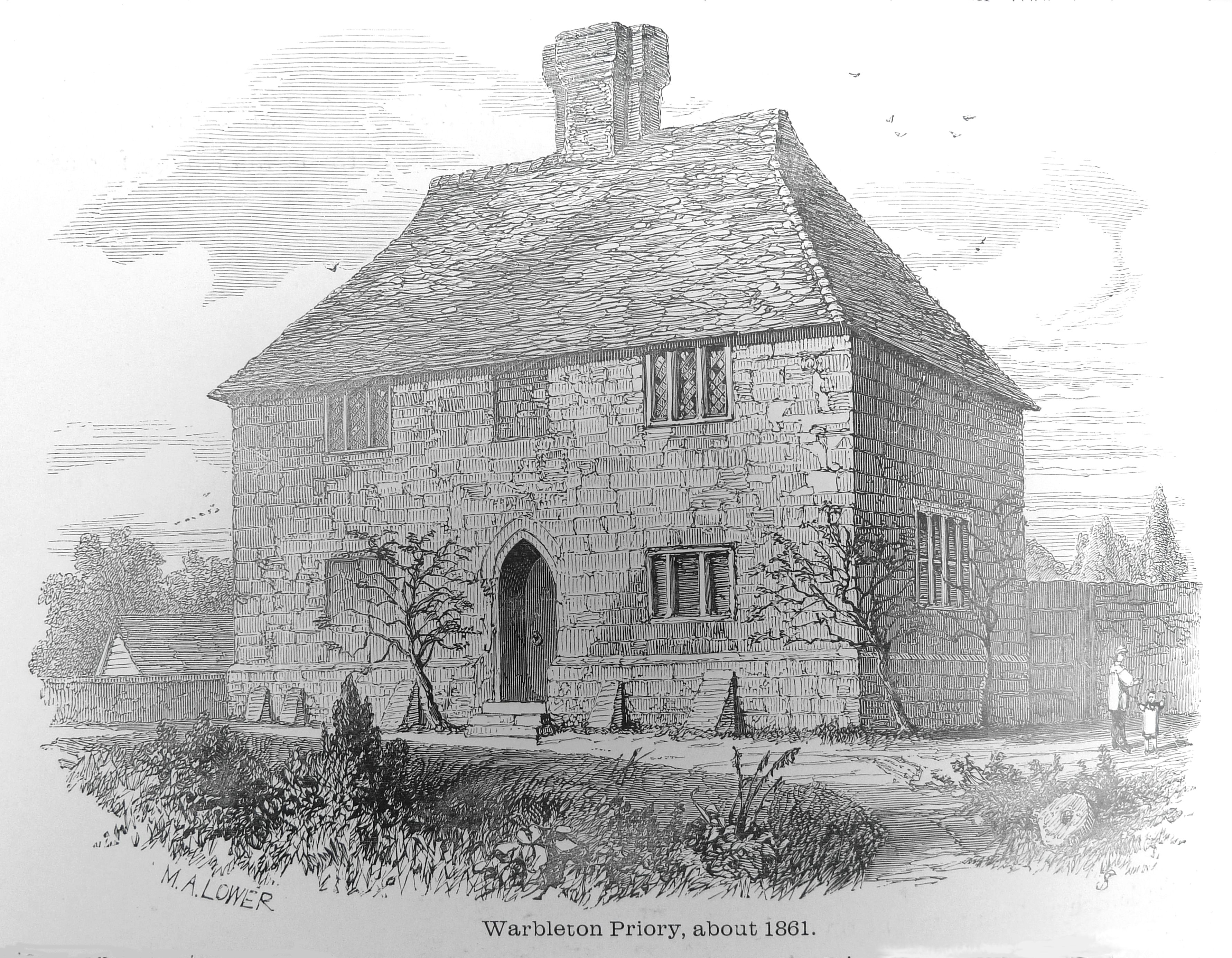
Warbleton Priory
Warbleton Priory was a medieval monastic house in East Sussex, England. The current house is a Grade II* listed building. == References == == External... ==
List of local nature reserves in East Sussex
Local Nature Reserves (LNRs) are designated by local authorities under the National Parks and Access to the Countryside Act 1949. The local authority must...
List of Sites of Special Scientific Interest in East Sussex
In England, Sites of Special Scientific Interest (SSSIs) are designated by Natural England, which is responsible for protecting England's natural environment...

Dallington, East Sussex
Dallington is a village and civil parish in the Rother district of East Sussex, England. It is located eight miles (13 km) west of Battle and five miles...

Rushlake Green
Rushlake Green is a small village in the civil parish of Warbleton in the Wealden district of East Sussex, England. Rushlake Green is situated on the slopes...

East Sussex
East Sussex is a ceremonial county in South East England. It is bordered by Kent to the north-east, West Sussex to the west, Surrey to the north-west,...
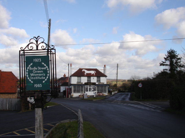
Bodle Street Green
Bodle Street Green is a small village in the civil parish of Warbleton, in the Wealden district of East Sussex, England. Its nearest town is Hailsham,...

Dallington Forest
Dallington Forest is a 16.1-hectare (40-acre) biological Site of Special Scientific Interest (SSSI) east of Heathfield in East Sussex. The SSSI is part...
Nearby Amenities
Located within 500m of 50.93199,0.34147101Have you been to Curlsdown Wood?
Leave your review of Curlsdown Wood below (or comments, questions and feedback).