Pembury Shaw
Wood, Forest in Kent Tunbridge Wells
England
Pembury Shaw
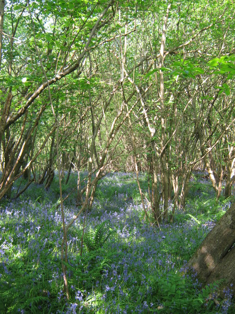
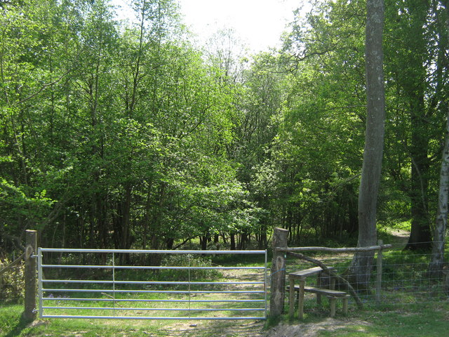
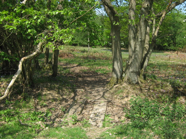
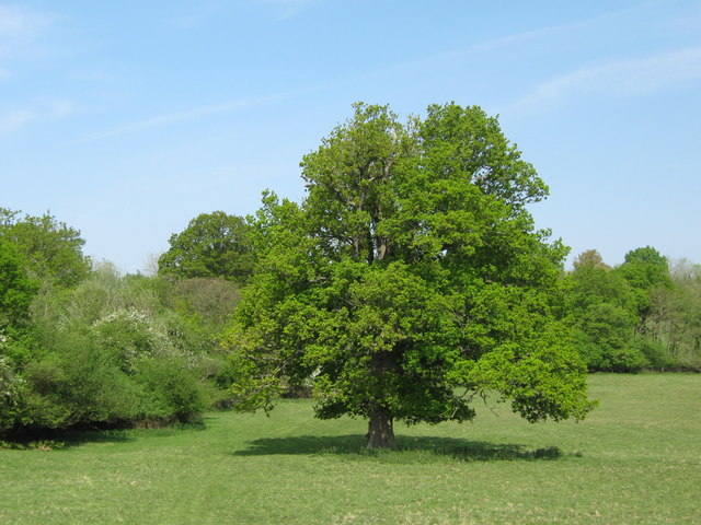
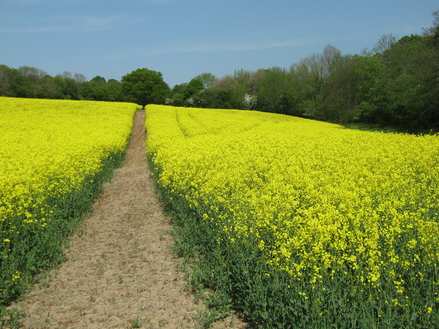
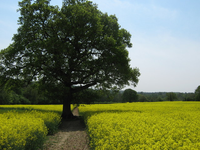
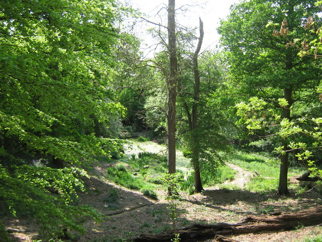
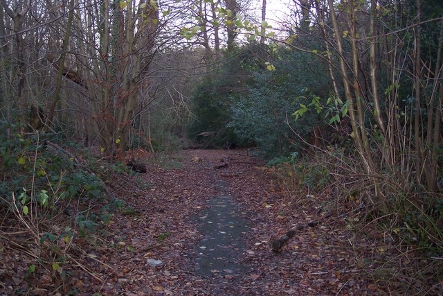
Pembury Shaw is a picturesque woodland area located in the county of Kent, England. Situated within the larger Pembury Forest, it is a popular destination for nature lovers and outdoor enthusiasts. The shaw covers an area of approximately 50 hectares and is characterized by its dense canopy of trees, diverse wildlife, and tranquil atmosphere.
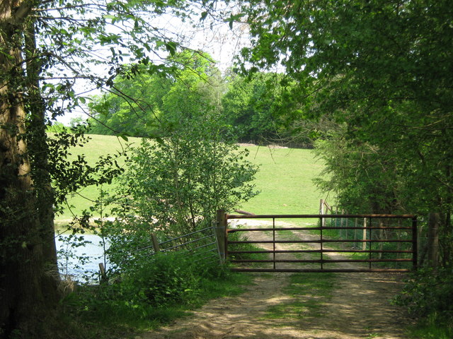
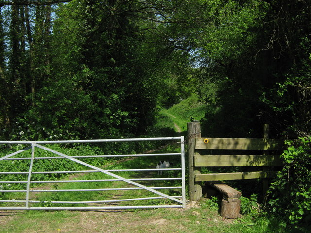
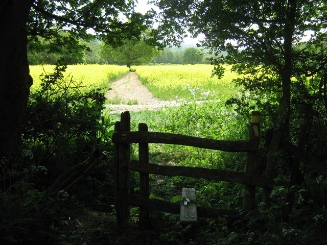
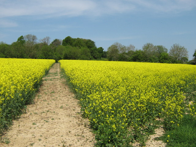
The woodland is predominantly made up of broadleaf trees such as oak, beech, and ash, which create a vibrant and ever-changing landscape throughout the seasons. Walking trails wind their way through the shaw, allowing visitors to explore its beauty and discover hidden gems along the way. The paths are well-maintained and suitable for all ages and abilities.
Pembury Shaw is home to a variety of wildlife, including squirrels, rabbits, and a wide range of bird species. Birdwatchers often flock to the area to catch a glimpse of rare and migratory birds that pass through during certain times of the year.
The shaw also boasts a rich history, with evidence of human activity dating back several centuries. Archaeological finds, such as ancient pottery shards and flint tools, have been discovered in the area, providing a glimpse into the lives of those who once inhabited the land.
Overall, Pembury Shaw in Kent offers a serene and enchanting escape from the bustling city life. It is a place where visitors can reconnect with nature, enjoy peaceful walks, and appreciate the beauty of the surrounding woodland ecosystem.
If you have any feedback on the listing, please let us know in the comments section below.
Pembury Shaw Images
Images are sourced within 2km of 51.131784/0.33346859 or Grid Reference TQ6339. Thanks to Geograph Open Source API. All images are credited.


Pembury Shaw is located at Grid Ref: TQ6339 (Lat: 51.131784, Lng: 0.33346859)
Administrative County: Kent
District: Tunbridge Wells
Police Authority: Kent
What 3 Words
///bunkers.shook.bravo. Near Pembury, Kent
Nearby Locations
Related Wikis

Tunbridge Wells (UK Parliament constituency)
Tunbridge Wells is a constituency in Kent represented in the House of Commons of the UK Parliament since 2005 by Greg Clark, a Conservative who served...

Pembury
Pembury is a large village in Kent, in the south east of England, with a population of 6,128 at the 2011 Census. It lies just to the north-east of Royal...

St Luke's Church, Matfield
St Luke's Church is a parish church in the village of Matfield, Kent, England. It is a Grade II listed building.The church is dedicated to Luke the Evangelist...

Lamberhurst Quarter
Lamberhurst Quarter is a hamlet on the A21 road, in the English county of Kent. It is near the village of Lamberhurst. == References == http://getamap...
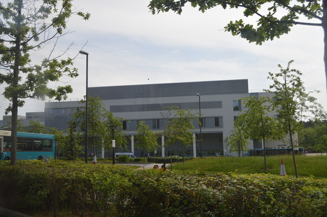
Tunbridge Wells Hospital
Tunbridge Wells Hospital is a large district general hospital in Pembury near Royal Tunbridge Wells, Kent, England, run by the Maidstone and Tunbridge...

Brookland Wood
Brookland Wood is a 10.9-hectare (27-acre) biological Site of Special Scientific Interest east of Tunbridge Wells in Kent.This site has diverse types of...
Pembury Cutting and Pit
Pembury Cutting and Pit is a 1.6-hectare (4.0-acre) geological Site of Special Scientific Interest east of Tunbridge Wells in Kent. It is a Geological...

Matfield
Matfield is a small village, part of the civil parish of Brenchley and Matfield, in the Tunbridge Wells borough of Kent, England. Matfield was awarded...
Nearby Amenities
Located within 500m of 51.131784,0.33346859Have you been to Pembury Shaw?
Leave your review of Pembury Shaw below (or comments, questions and feedback).