Brackland Rough
Wood, Forest in Cambridgeshire East Cambridgeshire
England
Brackland Rough
Brackland Rough is a picturesque woodland area located in the county of Cambridgeshire, England. Spanning over a vast expanse, it is often referred to as a forest due to its dense vegetation and diverse range of tree species. The wood is situated near the village of Brackland, and is easily accessible by a network of well-maintained footpaths.
Covering an area of approximately 100 hectares, Brackland Rough is a haven for nature enthusiasts and outdoor adventurers. The woodland is predominantly populated by oak, birch, and beech trees, creating a rich and vibrant ecosystem. These trees provide shelter and sustenance for a myriad of wildlife, including squirrels, deer, and a variety of bird species.
Walking through Brackland Rough, visitors can enjoy the serenity and tranquility of nature. The wood is known for its dense undergrowth and wildflower meadows, which burst into a kaleidoscope of colors during the spring and summer months. The wood also features a small stream that meanders through its heart, adding to its natural beauty.
The management of Brackland Rough is overseen by the local conservation trust, which ensures the preservation and protection of the woodland's unique biodiversity. The trust organizes guided walks and educational programs, allowing visitors to learn about the rich history and ecological significance of the area.
Overall, Brackland Rough is a cherished natural gem in Cambridgeshire, offering a peaceful retreat for those seeking solace in nature's embrace.
If you have any feedback on the listing, please let us know in the comments section below.
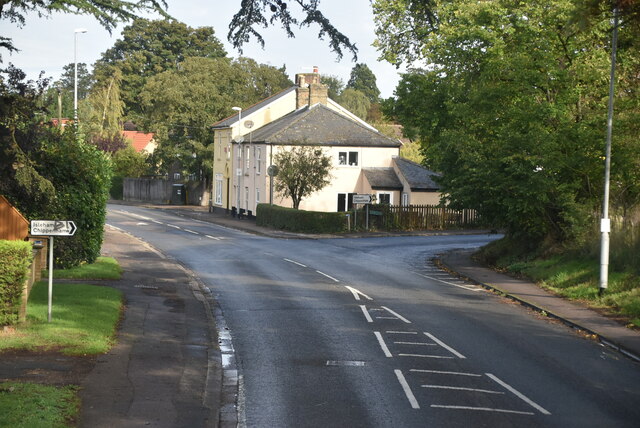
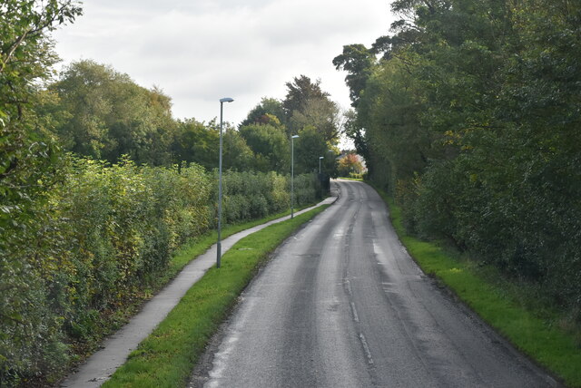
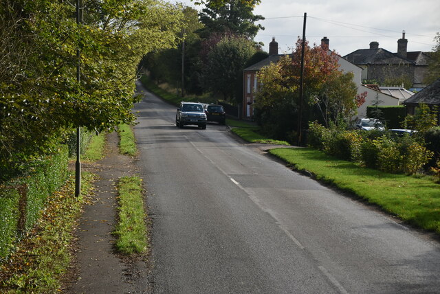
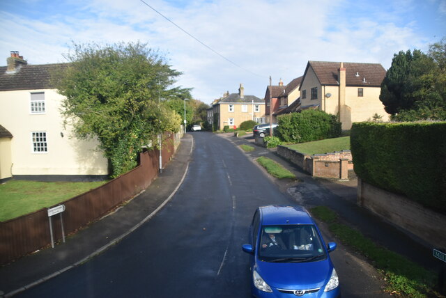
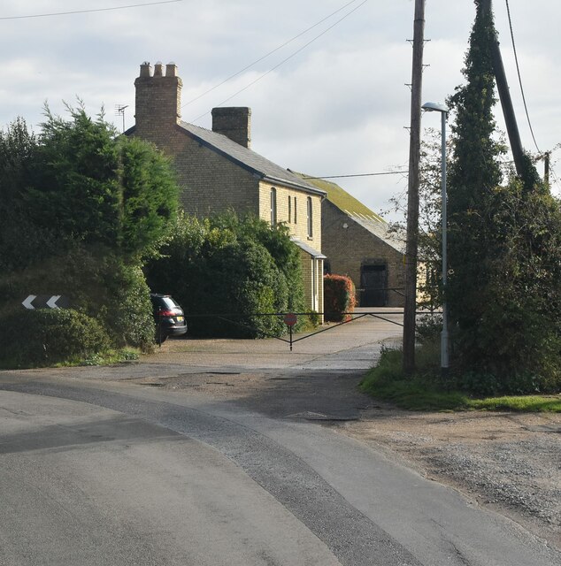
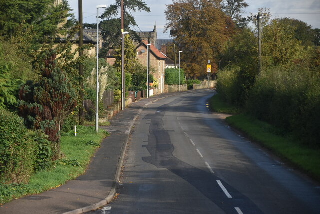
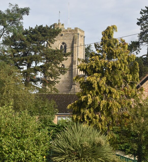
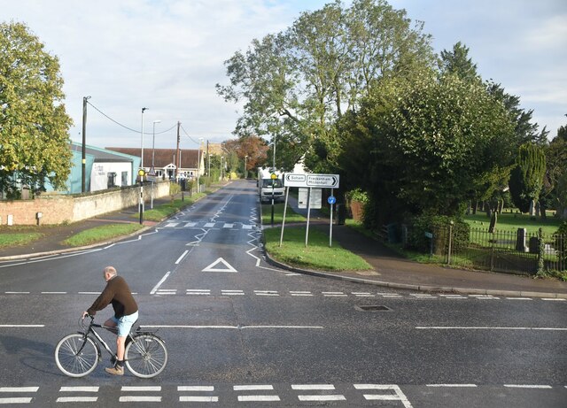
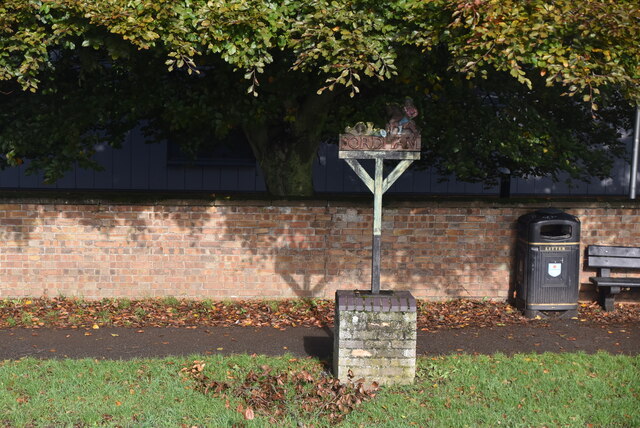
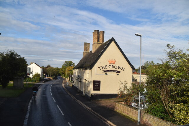
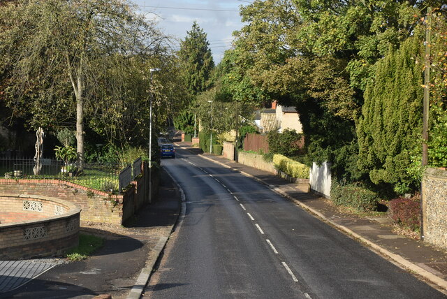
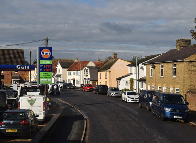
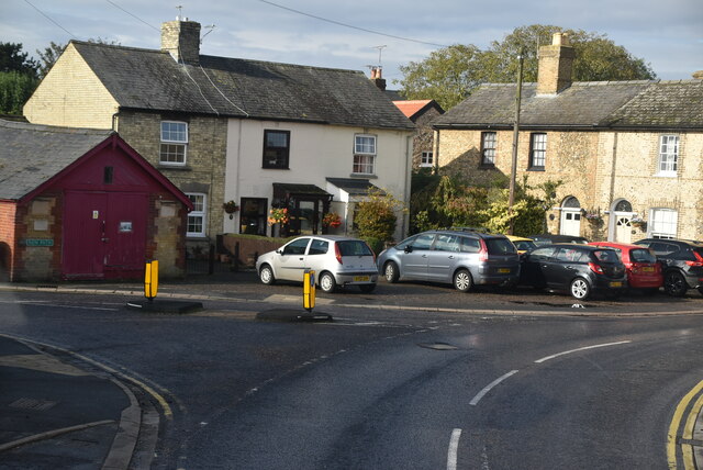
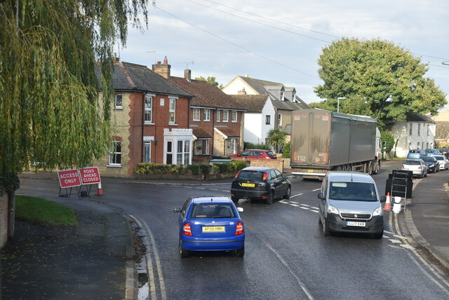
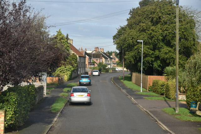
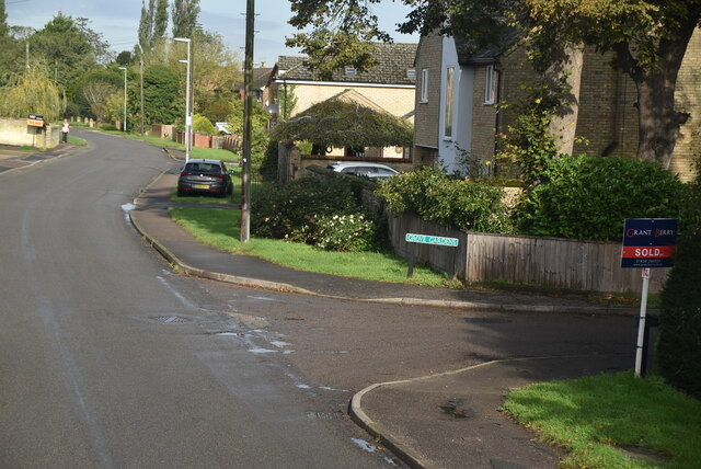
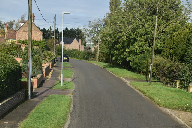
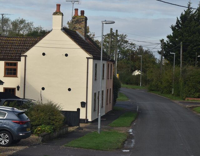
Brackland Rough Images
Images are sourced within 2km of 52.301324/0.39452113 or Grid Reference TL6369. Thanks to Geograph Open Source API. All images are credited.
Brackland Rough is located at Grid Ref: TL6369 (Lat: 52.301324, Lng: 0.39452113)
Administrative County: Cambridgeshire
District: East Cambridgeshire
Police Authority: Cambridgeshire
What 3 Words
///limit.cashew.unlimited. Near Fordham, Cambridgeshire
Nearby Locations
Related Wikis

Brackland Rough
Brackland Rough is a 10.7-hectare (26-acre) biological Site of Special Scientific Interest in Fordham in Cambridgeshire. It is managed by the Wildlife...

Fordham Priory
Fordham Priory was a Gilbertine priory in Fordham, Cambridgeshire, England. It was established in 1227 and was dissolved in 1540. Fordham Abbey, a Grade...

Fordham War Memorial
Fordham War Memorial is a First World War memorial in the village of Fordham in Cambridgeshire in eastern England. The memorial was designed by Sir Edwin...

Chippenham Fen and Snailwell Poor's Fen
Chippenham Fen and Snailwell Poor's Fen is a 155.9-hectare (385-acre) biological Site of Special Scientific Interest south-east of Fordham in Cambridgeshire...

Fordham railway station
Fordham railway station is a disused railway station that served the village of Fordham, Cambridgeshire. Opened in 1879, the station formed the junction...

Landwade
Landwade is a village and former civil parish, now in the parish of Exning, in the West Suffolk district, in the county of Suffolk, England. It is 4 miles...

Snailwell Meadows
Snailwell Meadows is a 14.8-hectare (37-acre) biological Site of Special Scientific Interest in Snailwell in Cambridgeshire.The meadows are on peat overlying...

Fordham, Cambridgeshire
Fordham is a village in rural Cambridgeshire, England. Fordham is part of the East Cambridgeshire district. It is four miles north of Newmarket, as well...
Related Videos
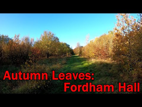
Trail Running: Autumn Leaves, Fordham
Join me for a 5 mile circuit around Fordham, Essex. I was looking for some colourful autumn leaves and also managed to find ...

Trail Running: Bluebell Time #1.
A first look at this year's bluebells on a bright, windy day. We run across fields to reach Hillhouse Wood and check out the ...

Back on the Trails
A rare chance to get out for a run a little away from home. October 6 2023. My wife was back in hospital and as visiting time was ...
Nearby Amenities
Located within 500m of 52.301324,0.39452113Have you been to Brackland Rough?
Leave your review of Brackland Rough below (or comments, questions and feedback).