Abbey Wood
Wood, Forest in Cambridgeshire East Cambridgeshire
England
Abbey Wood
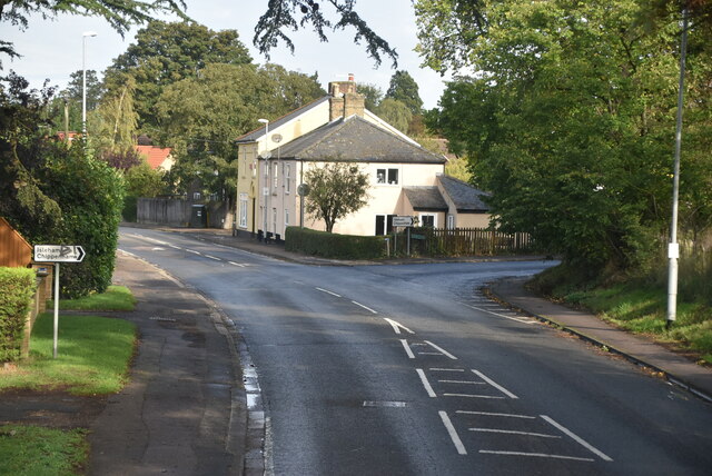
Abbey Wood is a small village located in the county of Cambridgeshire, England. Situated near the town of Ramsey, it is known for its picturesque woodlands and forested areas. The village derives its name from the ancient abbey that once stood in the region, although no remnants of it remain today.
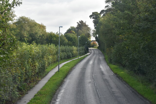
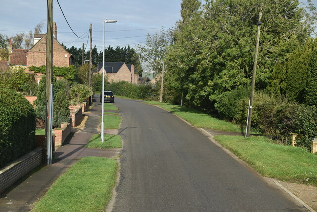
The woodlands in Abbey Wood are characterized by a diverse range of trees, including oak, beech, and birch. These lush green spaces provide a haven for various wildlife species, such as deer, foxes, and a variety of bird species. The forested areas are often frequented by nature enthusiasts and walkers who enjoy the peaceful ambiance and natural beauty.
Abbey Wood is also home to several walking trails and footpaths that allow visitors to explore the woodlands and enjoy the scenic views. The trails are well-maintained, providing a pleasant experience for hikers of all ages and abilities. Additionally, the village is surrounded by open fields and meadows, offering ample space for outdoor activities and recreational pursuits.
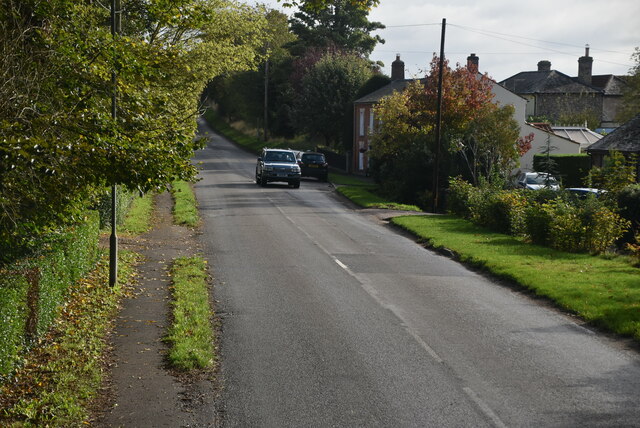
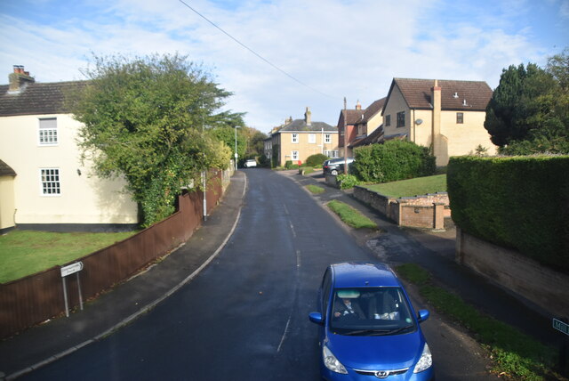
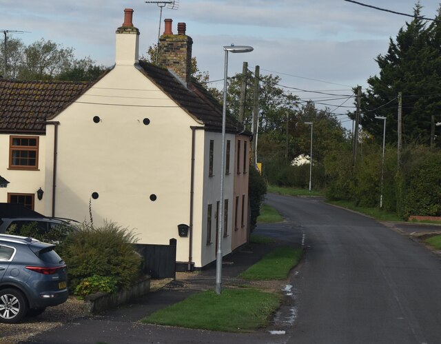
The village itself is small and possesses a close-knit community atmosphere. It is primarily residential, with a scattering of charming cottages and houses. However, it does not have many amenities, such as shops or restaurants, requiring residents to travel to nearby towns for their daily needs.
Overall, Abbey Wood in Cambridgeshire is a tranquil and idyllic village, known for its beautiful woodlands, forested areas, and its peaceful and community-oriented atmosphere. It provides a perfect escape for nature lovers and those seeking a quiet retreat in the heart of the English countryside.
If you have any feedback on the listing, please let us know in the comments section below.
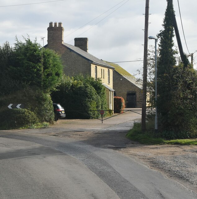
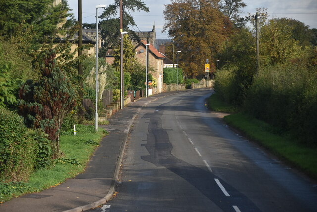
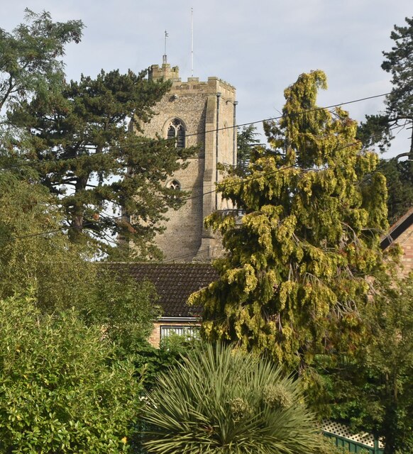
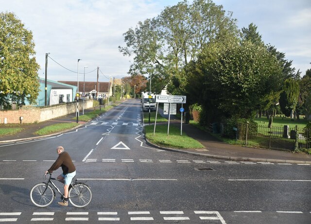
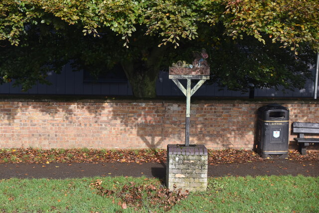
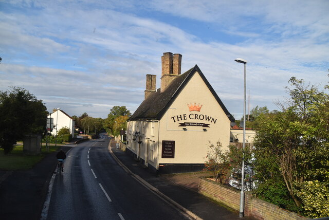
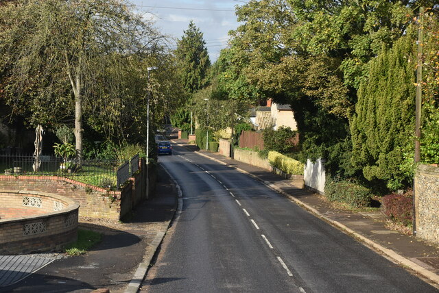
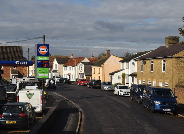
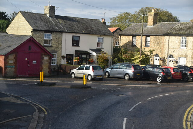
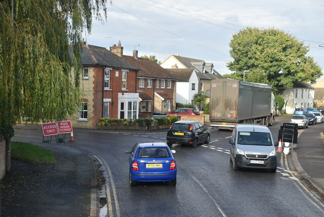
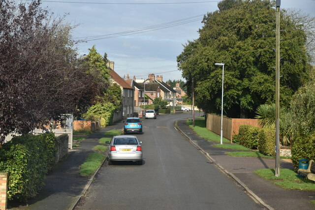
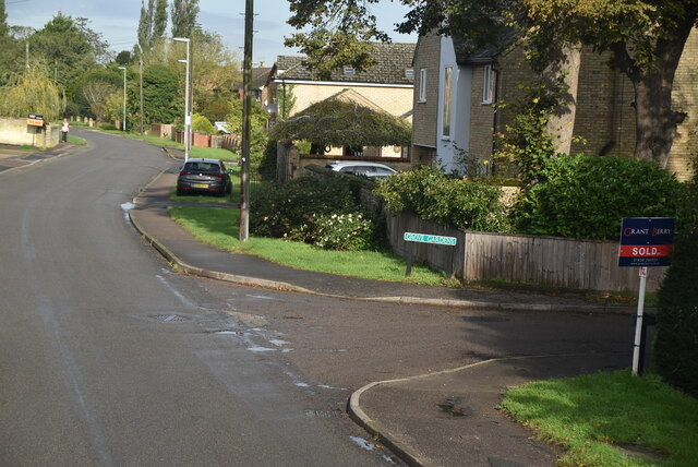
Abbey Wood Images
Images are sourced within 2km of 52.300584/0.39374783 or Grid Reference TL6369. Thanks to Geograph Open Source API. All images are credited.
Abbey Wood is located at Grid Ref: TL6369 (Lat: 52.300584, Lng: 0.39374783)
Administrative County: Cambridgeshire
District: East Cambridgeshire
Police Authority: Cambridgeshire
What 3 Words
///reshaping.dote.hears. Near Fordham, Cambridgeshire
Nearby Locations
Related Wikis

Brackland Rough
Brackland Rough is a 10.7-hectare (26-acre) biological Site of Special Scientific Interest in Fordham in Cambridgeshire. It is managed by the Wildlife...

Fordham Priory
Fordham Priory was a Gilbertine priory in Fordham, Cambridgeshire, England. It was established in 1227 and was dissolved in 1540. Fordham Abbey, a Grade...

Fordham War Memorial
Fordham War Memorial is a First World War memorial in the village of Fordham in Cambridgeshire in eastern England. The memorial was designed by Sir Edwin...

Chippenham Fen and Snailwell Poor's Fen
Chippenham Fen and Snailwell Poor's Fen is a 155.9-hectare (385-acre) biological Site of Special Scientific Interest south-east of Fordham in Cambridgeshire...

Fordham railway station
Fordham railway station is a disused railway station that served the village of Fordham, Cambridgeshire. Opened in 1879, the station formed the junction...

Landwade
Landwade is a village and former civil parish, now in the parish of Exning, in the West Suffolk district, in the county of Suffolk, England. It is 4 miles...

Snailwell Meadows
Snailwell Meadows is a 14.8-hectare (37-acre) biological Site of Special Scientific Interest in Snailwell in Cambridgeshire.The meadows are on peat overlying...

Fordham, Cambridgeshire
Fordham is a village in rural Cambridgeshire, England. Fordham is part of the East Cambridgeshire district. It is four miles north of Newmarket, as well...
Nearby Amenities
Located within 500m of 52.300584,0.39374783Have you been to Abbey Wood?
Leave your review of Abbey Wood below (or comments, questions and feedback).