Goose Wood

Wood, Forest in Kent Sevenoaks

England

Goose Wood

Harvel Green The green in the village of Harvel, in north Kent.  The village sign stands to the right of the image.

This image was taken late in the afternoon on an October day.  The sun was setting, casting long shadows.
Harvel Green Credit: Malc McDonald

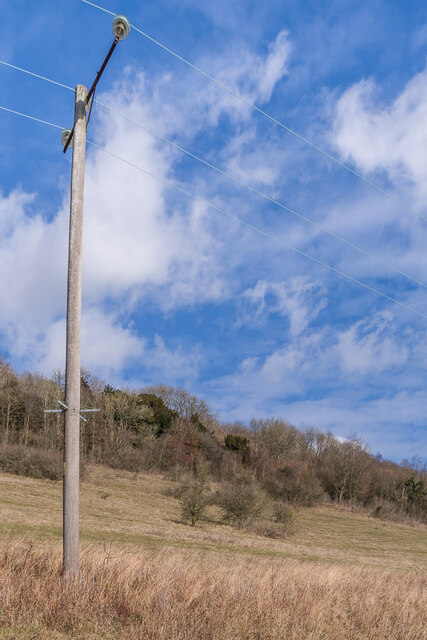
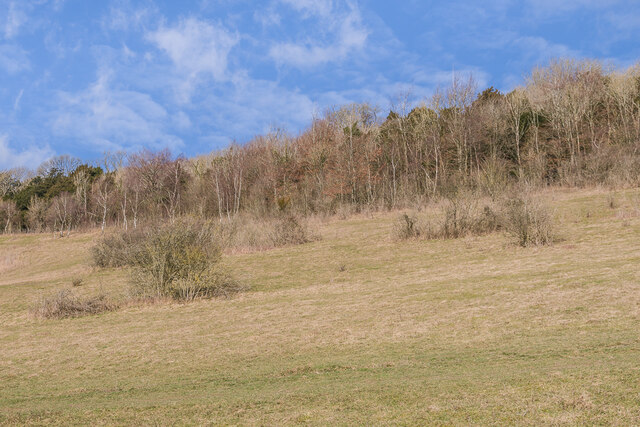
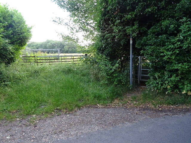
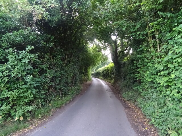
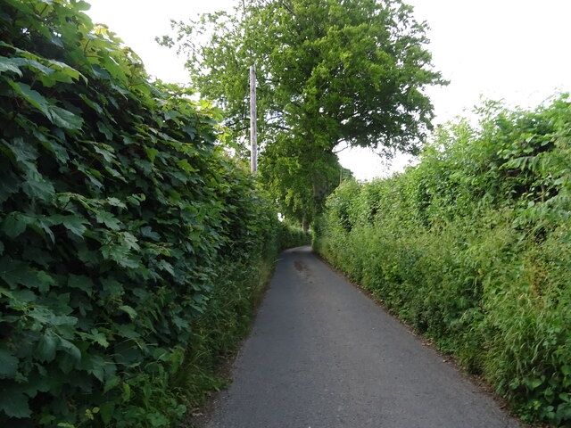
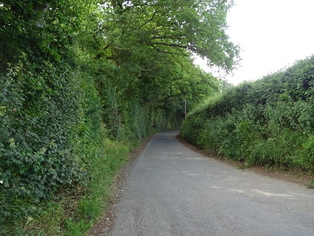
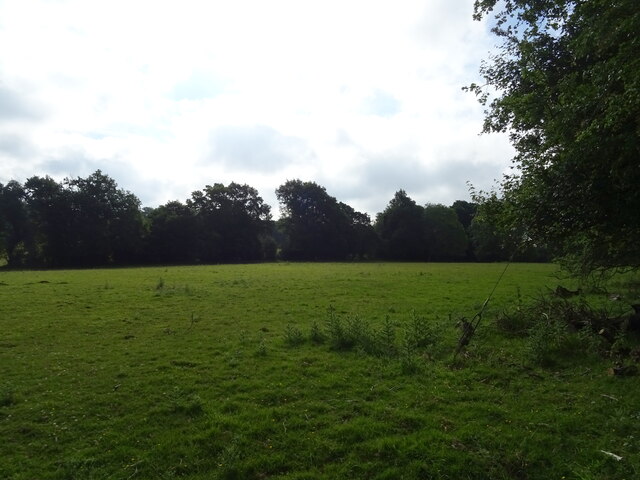
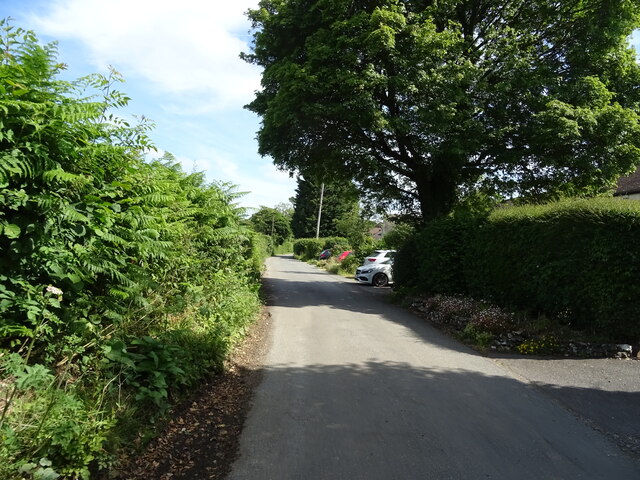
Goose Wood is a picturesque woodland located in the county of Kent, England. Situated near the town of Maidstone, this beautiful forest covers an area of approximately 100 acres. It is known for its diverse range of flora and fauna, making it an ideal destination for nature enthusiasts and wildlife lovers.

The woodland is predominantly made up of mature trees, including oak, beech, and birch, which provide a dense canopy overhead. These towering trees create a tranquil and serene atmosphere, attracting a wide variety of bird species such as woodpeckers, thrushes, and owls.

Goose Wood is also home to an array of small mammals, including foxes, rabbits, and badgers. Many visitors have reported spotting these creatures in their natural habitat, adding to the allure of the woodland.

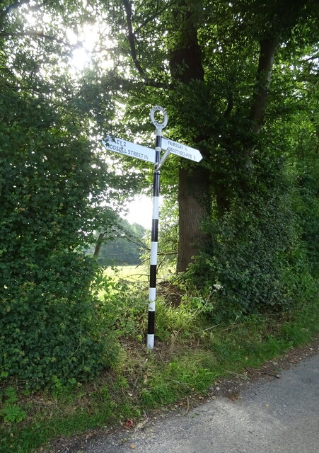
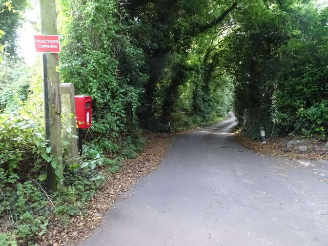
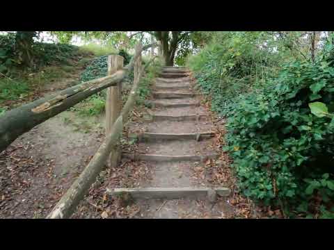
There are several walking trails that wind their way through the forest, offering visitors the opportunity to explore and enjoy the natural beauty of the surroundings. These paths are well-maintained and suitable for all ages and fitness levels, making Goose Wood a popular destination for families and outdoor enthusiasts.

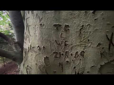
In addition to its natural beauty, Goose Wood also boasts a rich cultural history. The woodland is believed to have been in existence for centuries and has served as a source of timber and fuel for local communities throughout history.

Overall, Goose Wood is a hidden gem in the heart of Kent, offering a peaceful and idyllic escape from the hustle and bustle of everyday life. Whether you are seeking a leisurely stroll, birdwatching, or simply a moment of tranquility, this woodland is sure to captivate and rejuvenate all who visit.

If you have any feedback on the listing, please let us know in the comments section below.

Goose Wood Images

Images are sourced within 2km of 51.338726/0.34328983 or Grid Reference TQ6362. Thanks to Geograph Open Source API. All images are credited.

Harvel Green The green in the village of Harvel, in north Kent.  The village sign stands to the right of the image.

This image was taken late in the afternoon on an October day.  The sun was setting, casting long shadows.
Harvel Green
The green in the village of Harvel, in north Kent. The village sign stands to the right of the image. This image was taken late in the afternoon on an October day. The sun was setting, casting long shadows.
David Street, Harvel, near Meopham David Street near the village of Harvel, in Kent.
David Street, Harvel, near Meopham
David Street near the village of Harvel, in Kent.
David Street, Harvel, near Meopham David Street is a minor lane through Kent countryside.
David Street, Harvel, near Meopham
David Street is a minor lane through Kent countryside.
Pilgrim House House on Vigo Hill where it is crossed by the Pilgrims Way.  A sales particulars states that it was built originally in 1590, although with later additions.
Pilgrim House
House on Vigo Hill where it is crossed by the Pilgrims Way. A sales particulars states that it was built originally in 1590, although with later additions.
Pilgrims Way Looking along the Pilgrims Way near Trottiscliffe.
Pilgrims Way
Looking along the Pilgrims Way near Trottiscliffe.
Trosley Country Park Open chalk downland in Trosley Country Park.
Trosley Country Park
Open chalk downland in Trosley Country Park.
Trosley Country Park Open chalk downland in Trosley Country Park.
Trosley Country Park
Open chalk downland in Trosley Country Park.
Farm track near Pettings Court Off Haven Hill.
Farm track near Pettings Court
Off Haven Hill.
Bend in Haven Hill Towards Horns Lodge.
Bend in Haven Hill
Towards Horns Lodge.
Field entrance and footpath off Haven Hill
Haven Hill Towards Hodsoll Street.
Haven Hill
Towards Hodsoll Street.
Fairseat Lane Towards Fairseat.
Fairseat Lane
Towards Fairseat.
Fingerpost on Fairseat Lane
Vigo Road Towards Fairseat.
Vigo Road
Towards Fairseat.
Grazing off Vigo Road
Haven Hill, New Ash Green Showing position of Postbox No. TN15 227.
See <a href="https://www.geograph.org.uk/photo/7215690">TQ6163 : Elizabeth II postbox on Haven Hill, New Ash Green</a> for postbox.
Haven Hill, New Ash Green
Showing position of Postbox No. TN15 227. See TQ6163 : Elizabeth II postbox on Haven Hill, New Ash Green for postbox.
Houses on Platt House Lane
Platt House Lane, Fairseat Looking north.
Platt House Lane, Fairseat
Looking north.
Show me another place!

Goose Wood is located at Grid Ref: TQ6362 (Lat: 51.338726, Lng: 0.34328983)

Administrative County: Kent

District: Sevenoaks

Police Authority: Kent

What 3 Words

///sketch.groups.scare. Near Culverstone Green, Kent

Related Wikis

Vigo Village

Vigo Village is a village and (as simply Vigo) a civil parish in the Gravesham district in Kent, England. It takes its name from a 15th-century public...

Trosley Country Park

Trosley Country Park is in Trottiscliffe, near Vigo, in Kent, England. Once part of a large woodland estate then after many changes, it was passed to Kent...
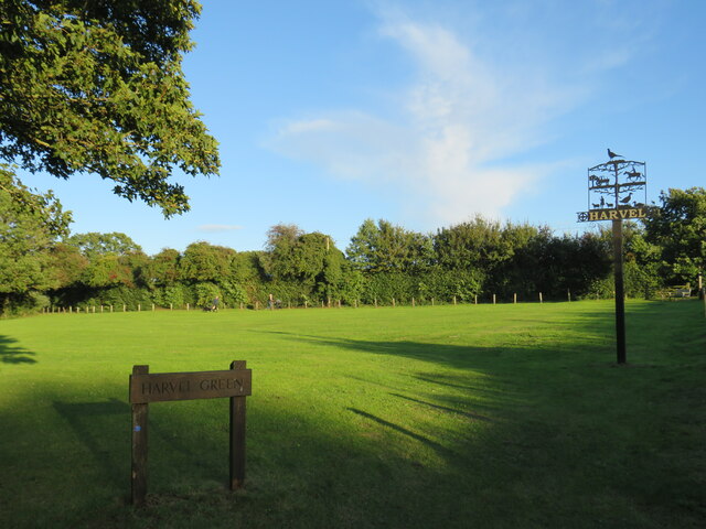
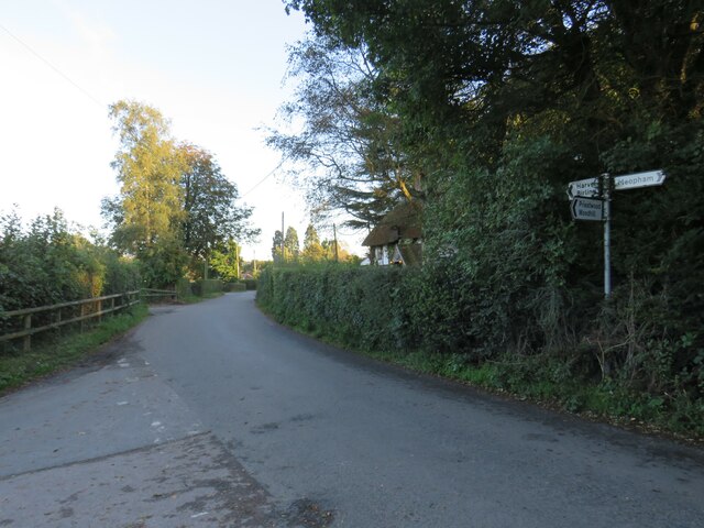
Harvel

Harvel is a village in the civil parish of Meopham in the west of the county of Kent, England. It is sited on the southern edge of the North Downs. The...

Ridley, Kent

Ridley is a place and former civil parish, now in the parish of Ash-cum-Ridley, in the Sevenoaks district, in the county of Kent, England. It lies between...

Church of St Peter and St Paul, Trottiscliffe

The Church of St Peter and St Paul is an active Anglican parish church in Church Lane, Trottiscliffe, in the Borough of Tonbridge and Malling, Kent, England...

Trottiscliffe

Trottiscliffe ( TROZ-lee) is a village in Kent, England about 2.5 miles (4 km) north west of West Malling. It is often incorrectly spelled Trosley after...

Meopham air disaster

The Meopham Air Disaster occurred on 21 July 1930 when a Junkers F.13ge flying from Le Touquet to Croydon with two crew and four passengers crashed near...

Stansted, Kent

Stansted (referred to in older texts as Stanstead) is a village and rural parish in the Tonbridge and Malling district of the county of Kent in the United...

Related Videos

Trosley Country Park Virtual tour

Take a walk through Trosley Country Park located in Vigo, Kent to explore the natural beauty and range of services it has to offer.

Trosley County Park walk

This was my final training walk before I headed off to the Scottish Highlands! I grew up near here, so it was lovely to reminisce and ...

Trosley Country Park - Vigo Village - Kent - England

A small look at what Trosley Country Park in Kent, England has to offer. There is plenty here for everyone, children, dog walkers, ...

Talkin' Walks - Episode 2 , Coldrum Long Barrow

A walk to Kent's best-preserved ancient Megalithic burial site, near Trottiscliffe...

Nearby Amenities

Located within 500m of 51.338726,0.34328983
Bus Stop
Newlands Lane
Local Ref: opp
Naptan AtcoCode: 2400A014870A
Naptan Bearing: N
Naptan BusStopType: MKD
Naptan CommonName: Newlands Lane
Naptan Indicator: opp
Naptan Landmark: Newlands Lane
Naptan NaptanCode: kntapjwt
Naptan RevisionNumber: 5
Naptan Status: act
Naptan Street: Gravesend Road
Naptan Verified: no
Public Transport: platform
Ref: kntapjwt
Source: naptan_import
Source Date: 2018-03-28
Lat/Long: 51.3363286/0.3440721
Bus Stop
Newlands Lane
Local Ref: adj
Naptan AtcoCode: 2400A014880A
Naptan Bearing: S
Naptan BusStopType: MKD
Naptan CommonName: Newlands Lane
Naptan Indicator: adj
Naptan Landmark: Newlands Lane
Naptan NaptanCode: kntapmad
Naptan RevisionNumber: 4
Naptan Status: act
Naptan Street: Wrotham Road
Naptan Verified: no
Public Transport: platform
Ref: kntapmad
Source: naptan_import
Source Date: 2018-03-28
Lat/Long: 51.3371964/0.3447481
Post Office
Culverstone Post Office
Addr Country: GB
Addr Postcode: DA13 0RQ
Brand: Post Office
Brand Wikidata: Q1783168
Contact Website: https://www.postoffice.co.uk/branch-finder/1440144/culverstone
Ref Pol Id: 19108
Lat/Long: 51.3419892/0.3464024
Culverstone Service Station
Addr City: Culverstone
Addr Postcode: DA13 0RF
Addr Street: Wrotham Road
Brand: Texaco
Fhrs Id: 129879
Shop: convenience
Source Addr: FHRS Open Data
Source Name: FHRS Open Data
Lat/Long: 51.3422627/0.3458009
Post Box
Operator: Royal Mail
Post Box Type: lamp
Ref: DA13 63
Lat/Long: 51.3363816/0.3444567
Post Box
Operator: Royal Mail
Post Box Type: pillar
Ref: DA13 50
Lat/Long: 51.342042/0.346303
Spar
Addr City: Gravesend
Addr Postcode: DA13 0RQ
Addr Street: Wrotham Road
Addr Subdistrict: Meopham
Brand: Spar
Brand Wikidata: Q610492
Brand Wikipedia: en:Spar (retailer)
Fhrs Id: 129880
Level: 0
Shop: convenience
Source Addr: ratings.food.gov.uk
Wheelchair: yes
Lat/Long: 51.3420351/0.346457
Turning Circle
Lat/Long: 51.3413278/0.3487332
Fuel
Lat/Long: 51.3422059/0.3459615
The data included in this document is from www.openstreetmap.org. The data is made available under ODbL.

Have you been to Goose Wood?

Leave your review of Goose Wood below (or comments, questions and feedback).