Climshurst Wood

Wood, Forest in Sussex Rother

England

Climshurst Wood

Wheel Inn, Burwash Weald This inn is sited on the A265 in a High Weald village which straggles along the road. It has a traditional tile-hung frontage on its first floor.
Wheel Inn, Burwash Weald Credit: Colin Smith

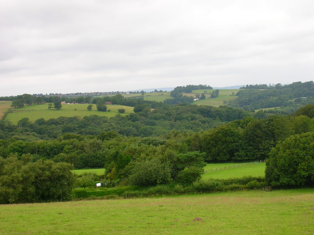
Climshurst Wood is a picturesque woodland located in the county of Sussex, England. Situated in close proximity to the village of Climshurst, the wood covers an area of approximately 100 acres and is known for its natural beauty and diverse range of flora and fauna.

The woodland is primarily composed of a mixture of deciduous and coniferous trees, creating a rich and varied landscape. Ancient oak, beech, and birch trees dominate the canopy, while the forest floor is carpeted with an array of wildflowers, including bluebells, wood anemones, and primroses during the spring months.

Climshurst Wood is renowned for its thriving wildlife population, making it a haven for nature enthusiasts. The wood provides a habitat for a variety of animals, such as deer, badgers, foxes, and numerous bird species, including woodpeckers and owls. It is also home to several rare and protected species, such as the European dormouse and the white admiral butterfly.

The wood offers a network of well-maintained footpaths, making it easily accessible for walkers and hikers. Visitors can enjoy peaceful strolls through the woodland, immersing themselves in its tranquil atmosphere and enjoying the sights and sounds of nature.

Climshurst Wood is a popular destination for outdoor activities, including picnicking, birdwatching, and nature photography. Its natural beauty, combined with its rich biodiversity, make it a cherished location for both locals and tourists alike, providing a valuable and unique natural resource in the heart of Sussex.

If you have any feedback on the listing, please let us know in the comments section below.

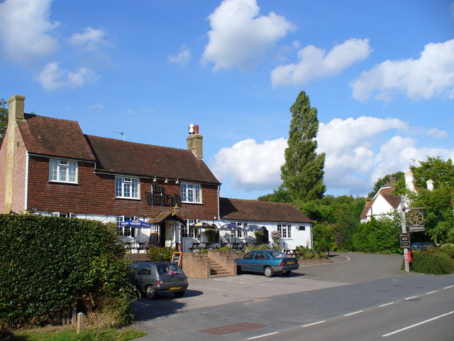
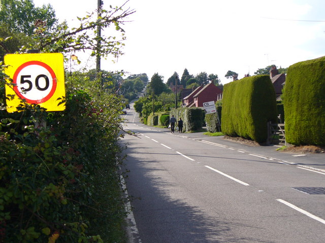
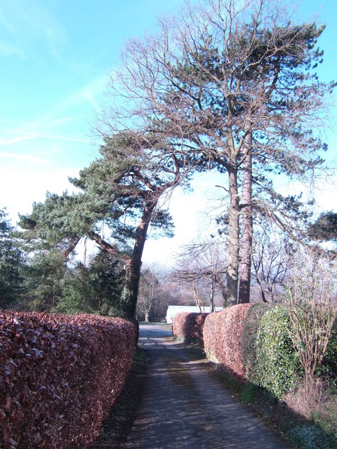
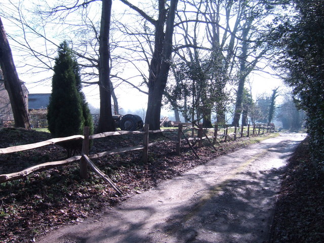
Climshurst Wood Images

Images are sourced within 2km of 50.993705/0.32573631 or Grid Reference TQ6324. Thanks to Geograph Open Source API. All images are credited.

Wheel Inn, Burwash Weald This inn is sited on the A265 in a High Weald village which straggles along the road. It has a traditional tile-hung frontage on its first floor.
Wheel Inn, Burwash Weald
This inn is sited on the A265 in a High Weald village which straggles along the road. It has a traditional tile-hung frontage on its first floor.
Burwash Weald on the A265 The A265 has many straight stretches as it runs over the ridges of the High Weald. This village suffers from one of the higher speed limits imposed on drivers. Many Wealden villages, like this one, are sited on the ridges or on hill tops - above formerly ill-drained and wooded river valleys.
Burwash Weald on the A265
The A265 has many straight stretches as it runs over the ridges of the High Weald. This village suffers from one of the higher speed limits imposed on drivers. Many Wealden villages, like this one, are sited on the ridges or on hill tops - above formerly ill-drained and wooded river valleys.
Road to the nurseries off Swife Lane Complete with fine Scots Pines.
Road to the nurseries off Swife Lane
Complete with fine Scots Pines.
Bridleway by Home Farm Just off the A265
Bridleway by Home Farm
Just off the A265
Garden Centre and Communications Mast Equal geograph billing here. The mast was in place before the 'Petals For Plants' was built just under a year ago.
Garden Centre and Communications Mast
Equal geograph billing here. The mast was in place before the 'Petals For Plants' was built just under a year ago.
View from Turks Lane
Little Broadhurst Farm
Oak by Turk's Bridge In the flat valley bottom of the Rother.
Oak by Turk's Bridge
In the flat valley bottom of the Rother.
Spurs a farm residence on Ponts Farm Working the back garden to Spurs, Ponts farm
Spurs a farm residence on Ponts Farm
Working the back garden to Spurs, Ponts farm
Burwash Common roadsigns
Road junction
Road junction
Road junction
Road junction
Holmhurst Manor Farm Barn Looking at the rear of a Barn of Holmhurst Manor Farm, whilst being watched by some locals!
Holmhurst Manor Farm Barn
Looking at the rear of a Barn of Holmhurst Manor Farm, whilst being watched by some locals!
Bottom Trout Lake, Lakedown Trout Fishery Looking south, at the bottom of four trout lakes, with a bridge over to a small island in the distance.
Bottom Trout Lake, Lakedown Trout Fishery
Looking south, at the bottom of four trout lakes, with a bridge over to a small island in the distance.
Farm gate. Farm gate at Holmhurst Manor Farm, with Sussex Oast Houses in the distance.
Farm gate.
Farm gate at Holmhurst Manor Farm, with Sussex Oast Houses in the distance.
Trout Lake, Lakedown Trout Fishery The third Trout lake of four, near Holmhurst Manor Farm, taken standing near the bottom lake.
Trout Lake, Lakedown Trout Fishery
The third Trout lake of four, near Holmhurst Manor Farm, taken standing near the bottom lake.
Holmshurst Looking up the Farm Lane, towards Holmshurst, Sussex.
Holmshurst
Looking up the Farm Lane, towards Holmshurst, Sussex.
Braylsham  Castle What looks like a Victorian folly added to a medieval hall house is actually a residence built from 1993 onwards. Full story here <span class="nowrap"><a title="http://www.telegraph.co.uk/property/main.jhtml?xml=/property/2001/12/08/pmoat08.xml" rel="nofollow ugc noopener" href="http://www.telegraph.co.uk/property/main.jhtml?xml=/property/2001/12/08/pmoat08.xml">Link</a><img style="margin-left:2px;" alt="External link" title="External link - shift click to open in new window" src="https://s1.geograph.org.uk/img/external.png" width="10" height="10"/></span> which could also explain the writing on the digger. See <a href="https://www.geograph.org.uk/photo/505398">TQ6124 : Braylsham  Castle</a> for a closer view.
Braylsham Castle
What looks like a Victorian folly added to a medieval hall house is actually a residence built from 1993 onwards. Full story here LinkExternal link which could also explain the writing on the digger. See TQ6124 : Braylsham Castle for a closer view.
Show me another place!

Climshurst Wood is located at Grid Ref: TQ6324 (Lat: 50.993705, Lng: 0.32573631)

Administrative County: East Sussex

District: Rother

Police Authority: Sussex

What 3 Words

///increases.jetliner.bends. Near Burwash, East Sussex

Related Wikis

Holmshurst Manor

Holmshurst Manor is a Jacobean country house near Burwash in East Sussex, England. In 1970 it was purchased by Roger Daltrey of The Who. == Description... ==

Paines Cross Meadow

Paines Cross Meadow is a 3.7-hectare (9.1-acre) biological Site of Special Scientific Interest north-east of Heathfield in East Sussex.This site is damp...

Willingford Meadows

Willingford Meadows is a 10.5-hectare (26-acre) biological Site of Special Scientific Interest south-west of Burwash in East Sussex.These species-rich...

Bingletts Wood

Bingletts Wood is a 16-hectare (40-acre) biological Site of Special Scientific Interest east of Heathfield in East Sussex.Part of this ancient wood is...

Ebenezer Chapel, Heathfield

Ebenezer Chapel is a Strict Baptist place of worship in the hamlet of Broad Oak, part of the parish of Heathfield in the English county of East Sussex...

Blackdown Mill, Punnetts Town

Blackdown Mill or Cherry Clack Mill is a grade II listed smock mill at Punnetts Town, East Sussex, England, which has been restored. == History == Blackdown...

Bateman's

Bateman's is a 17th-century house located in Burwash, East Sussex, England. It was the home of Rudyard Kipling from 1902 until his death in 1936. The house...

Punnett's Town

Punnett's Town is a village in the Wealden district of East Sussex. The main street is Battle road, which is part of the B2096 road. Blackdown Mill is...

Related Videos

Have you been to Climshurst Wood?

Leave your review of Climshurst Wood below (or comments, questions and feedback).