Felsham

Settlement in Suffolk Mid Suffolk

England

Felsham

Footpath towards Monkspark Wood
Footpath towards Monkspark Wood Credit: JThomas

Felsham is a picturesque village located in the county of Suffolk, in the eastern part of England. It is situated about 11 miles northeast of Bury St Edmunds and lies close to the border with Norfolk. With a population of around 600 residents, Felsham exudes a charming and tranquil atmosphere that is characteristic of many rural English villages.

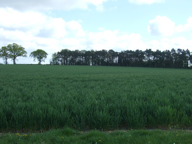
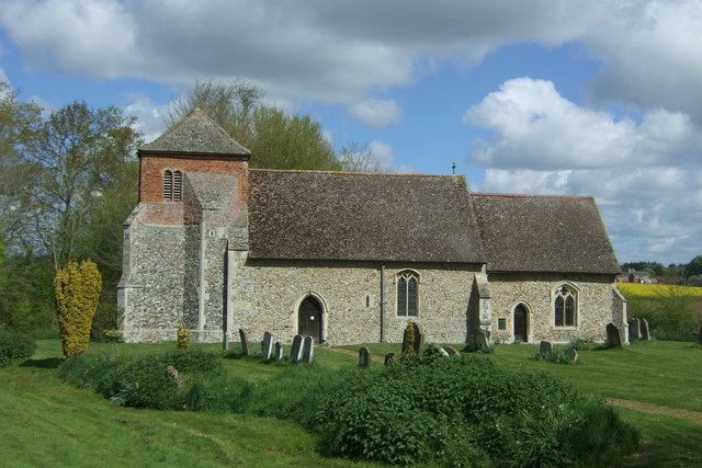
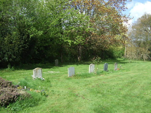
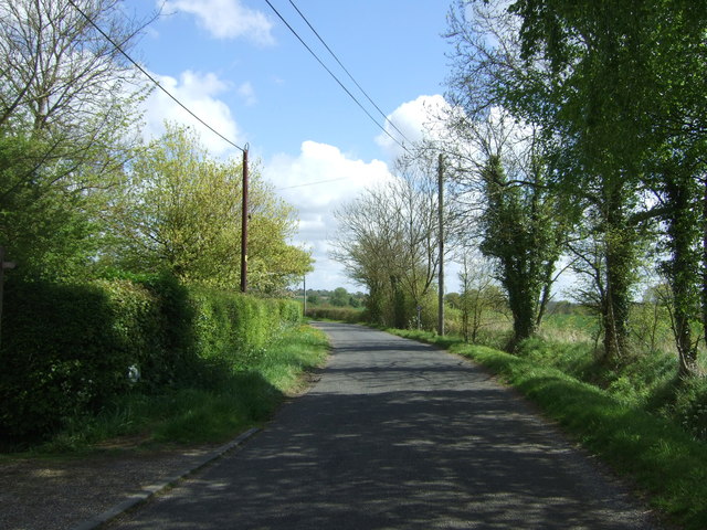
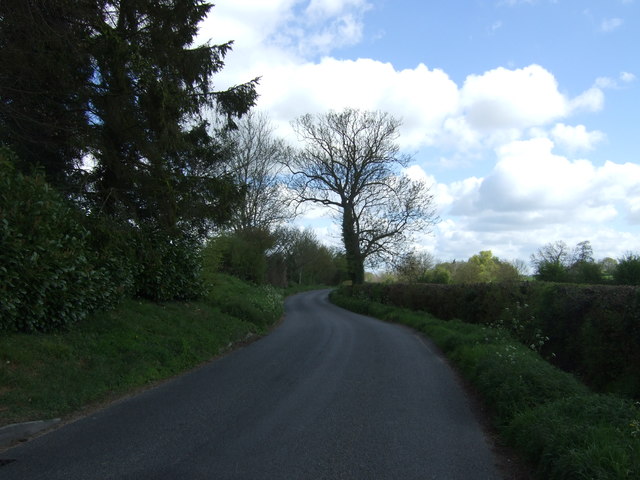
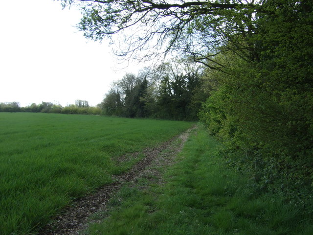
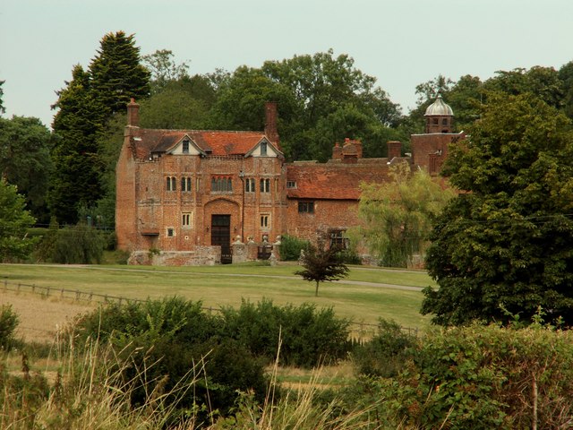
The village is known for its idyllic setting, surrounded by rolling hills, meandering rivers, and lush green fields. It boasts a rich history that can be traced back to the Domesday Book, with several historical landmarks still standing today. One notable feature is the 12th-century Church of St. Peter, a fine example of medieval architecture with its elegant tower and intricate stained glass windows.

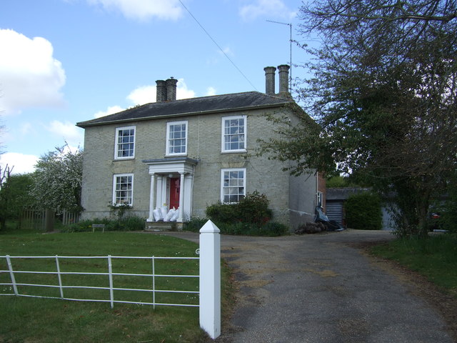
Felsham is also home to a vibrant community, with various amenities catering to the diverse needs of its residents. These include a primary school, a village hall, a post office, and a local pub, where visitors can enjoy traditional English fare and a warm welcome. The village hosts regular events and activities, such as fairs, festivals, and sports tournaments, fostering a strong sense of community spirit.

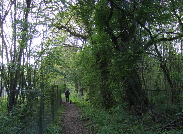
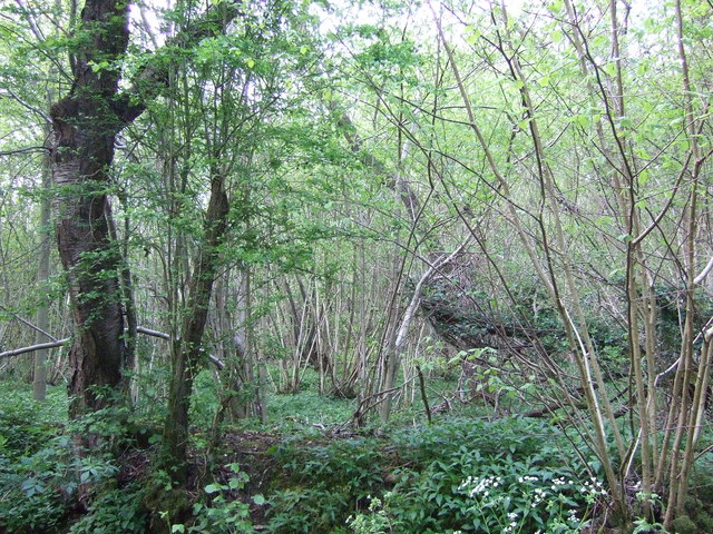
The surrounding countryside offers ample opportunities for outdoor enthusiasts, with numerous footpaths and bridleways that allow residents and visitors to explore the breathtaking landscapes. Nature lovers can revel in the beauty of Felsham's wildlife, which includes an abundance of bird species and other native animals.

Overall, Felsham is a delightful and picturesque village, combining historical charm with natural beauty, making it an ideal place to live or visit for those seeking a peaceful and close-knit community.

If you have any feedback on the listing, please let us know in the comments section below.
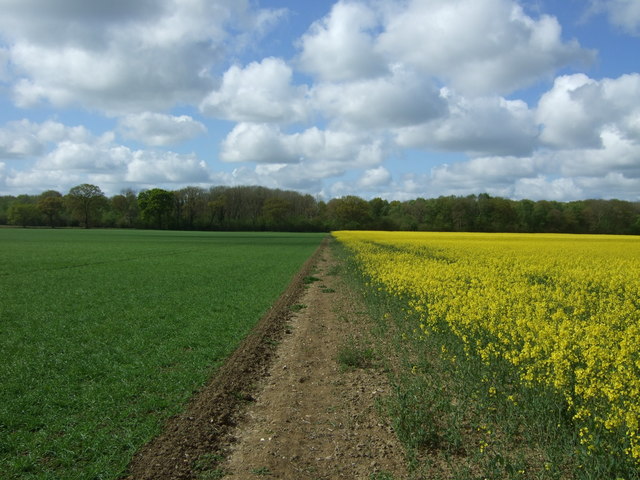
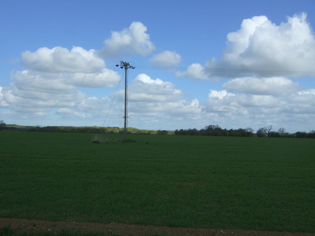
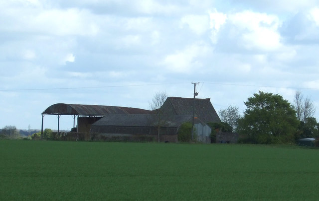
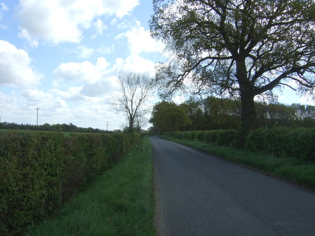
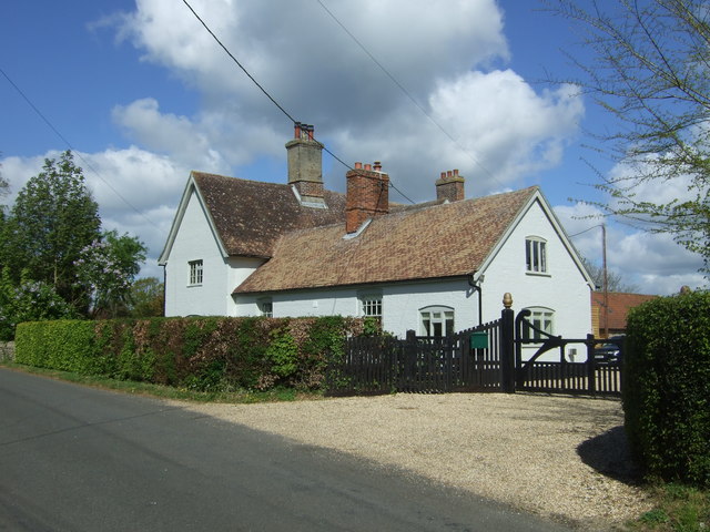
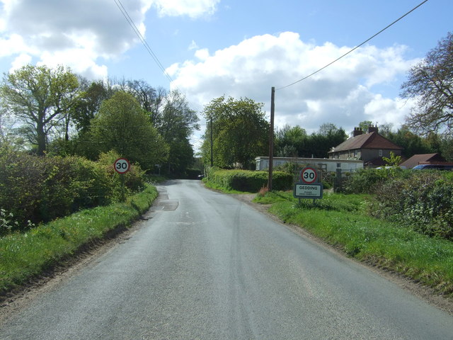
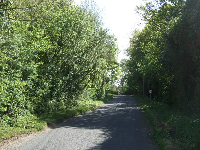
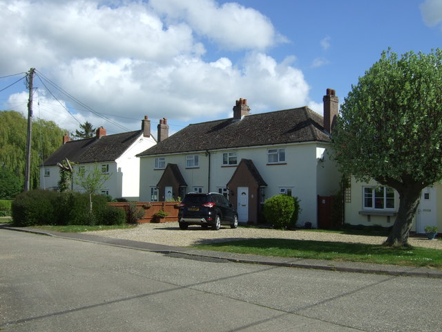
Felsham Images

Images are sourced within 2km of 52.177558/0.84389 or Grid Reference TL9457. Thanks to Geograph Open Source API. All images are credited.

Footpath towards Monkspark Wood
Farmland, Cargate North of Felsham Road.
Farmland, Cargate
North of Felsham Road.
Abbot's Hall Farm
Abbot's Hall Farm
Felsham Road Heading east from Cargate.
Felsham Road
Heading east from Cargate.
Footpath through Bradfield Woods
Bradfield Woods
Bradfield Woods
Crop field near Gedding Off Felsham Road.
Crop field near Gedding
Off Felsham Road.
Felsham Road, Gedding Looking north west.
Felsham Road, Gedding
Looking north west.
Grange Farm
Grange Farm
Entering Gedding Looking south on Felsham Road.
Entering Gedding
Looking south on Felsham Road.
Drinkstone Road, Gedding Looking east.
Drinkstone Road, Gedding
Looking east.
Houses off Drinkstone Road, Gedding
St Mary's Church, Gedding
Graveyard, St Mary's Church, Gedding
Drinkstone Road, Gedding Looking north east.
Drinkstone Road, Gedding
Looking north east.
House near Wentis Farm
Lane near Wentis Farm Looking north east.
Lane near Wentis Farm
Looking north east.
Crop field and hedgerow near Hill Farm
Show me another place!

Felsham is located at Grid Ref: TL9457 (Lat: 52.177558, Lng: 0.84389)

Administrative County: Suffolk

District: Mid Suffolk

Police Authority: Suffolk

What 3 Words

///blurred.denim.tramps. Near Woolpit, Suffolk

Nearby Locations

Felsham Lower Green

Related Wikis

Felsham

Felsham is a village and civil parish in the Mid Suffolk district of Suffolk in eastern England. In 2005 its population was 420. == History == The origin...

Gedding

Gedding is a village and civil parish in the Mid Suffolk district of Suffolk in eastern England. Located around six miles south east of Bury St Edmunds...

Bradfield Woods

Bradfield Woods is an 81.4-hectare (201-acre) biological Site of Special Scientific Interest between Bury St Edmunds and Stowmarket in Suffolk. The site...

RAF Rattlesden

Royal Air Force Rattlesden or more simply RAF Rattlesden is a former Royal Air Force station located 9 miles (14 km) south east of Bury St Edmunds, Suffolk...

Thorpe Morieux Woods

Thorpe Morieux Woods is a 45.2-hectare (112-acre) biological Site of Special Scientific Interest north of Thorpe Morieux in Suffolk. Part of it is Bull...

Bull's Wood

Bull's Wood is a 12 hectare nature reserve east of Cockfield in Suffolk, England. It is managed by the Suffolk Wildlife Trust, and is part of the Thorpe...

Centre Academy East Anglia

Centre Academy East Anglia, formerly known as The Old Rectory School is a private special school in Brettenham, Suffolk, England, founded in 1981. The...

Church of St Clare, Bradfield

The Church of St Clare, Bradfield is the Anglican parish church of Bradfield St Clare, in the district of West Suffolk, Suffolk. The original structure...

Nearby Amenities

Located within 500m of 52.177558,0.84389
Felsham
Place: village
Source: survey
Wikidata: Q2794573
Lat/Long: 52.1787597/0.8431397
Bus Stop
Six Bells
Naptan AtcoCode: 390040667
Naptan Bearing: E
Naptan BusStopType: CUS
Naptan CommonName: Six Bells
Naptan Indicator: adj
Naptan Landmark: Six Bells
Naptan NaptanCode: sufgapwg
Naptan Street: Church Road
Naptan Verified: no
Source: naptan_import
Lat/Long: 52.1774149/0.846167
Bus Stop
Six Bells
Naptan AtcoCode: 390040668
Naptan Bearing: W
Naptan CommonName: Six Bells
Naptan Indicator: opp
Naptan Landmark: Six Bells
Naptan NaptanCode: sufgapwj
Naptan Street: Church Road
Naptan Verified: no
Source: naptan_import
Lat/Long: 52.1773346/0.846513
Bus Stop
Playing Fields
Naptan AtcoCode: 390040908
Naptan Bearing: N
Naptan BusStopType: CUS
Naptan CommonName: Playing Fields
Naptan Indicator: adj
Naptan Landmark: Playing Fields
Naptan NaptanCode: sufjgjgw
Naptan Street: Church Road
Naptan Verified: no
Source: naptan_import
Lat/Long: 52.1790295/0.8489473
Bus Stop
Playing Fields
Naptan AtcoCode: 390040909
Naptan Bearing: S
Naptan BusStopType: CUS
Naptan CommonName: Playing Fields
Naptan Indicator: opp
Naptan Landmark: Playing Fields
Naptan NaptanCode: sufjgjma
Naptan Street: Church Road
Naptan Verified: no
Source: naptan_import
Lat/Long: 52.1790278/0.8490204
Bus Stop
Bury Road
Naptan AtcoCode: 390040910
Naptan Bearing: S
Naptan BusStopType: CUS
Naptan CommonName: Bury Road
Naptan Indicator: adj
Naptan Landmark: The Green
Naptan NaptanCode: sufjgjmd
Naptan Street: Cockfield Road
Naptan Verified: no
Source: naptan_import
Lat/Long: 52.1777376/0.8440654
Bus Stop
Bury Road
Naptan AtcoCode: 390040911
Naptan Bearing: W
Naptan BusStopType: CUS
Naptan CommonName: Bury Road
Naptan Indicator: opp
Naptan Landmark: The Green
Naptan NaptanCode: sufjgjmg
Naptan Street: Cockfield Road
Naptan Verified: no
Source: naptan_import
Lat/Long: 52.177586/0.8439409
Bus Stop
Cockfield Road
Naptan AtcoCode: 390041007
Naptan Bearing: NW
Naptan BusStopType: CUS
Naptan CommonName: Cockfield Road
Naptan Indicator: adj
Naptan Landmark: Cockfield Road
Naptan NaptanCode: sufjgpgp
Naptan Street: Cockfield Road
Naptan Verified: no
Source: naptan_import
Lat/Long: 52.1772225/0.8408311
Bus Stop
The Orchard
Naptan AtcoCode: 390041008
Naptan Bearing: N
Naptan BusStopType: CUS
Naptan CommonName: The Orchard
Naptan Indicator: adj
Naptan Landmark: Orchard
Naptan NaptanCode: sufjgpgt
Naptan Street: The Orchard
Naptan Verified: no
Source: naptan_import
Lat/Long: 52.1780553/0.8431066
Barrier: stile
Lat/Long: 52.1766259/0.8378402
Power: pole
Lat/Long: 52.1792332/0.847092
Barrier: stile
Lat/Long: 52.1766605/0.837308
Power: pole
Lat/Long: 52.1806301/0.8459449
Power: pole
Lat/Long: 52.179836/0.846586
Barrier: stile
Lat/Long: 52.1765651/0.8390083
Power: pole
Lat/Long: 52.1814069/0.8453244
The data included in this document is from www.openstreetmap.org. The data is made available under ODbL.

Have you been to Felsham?

Leave your review of Felsham below (or comments, questions and feedback).