Lower Green

Settlement in Suffolk Mid Suffolk

England

Lower Green

Farmland, Cargate North of Felsham Road.
Farmland, Cargate Credit: JThomas

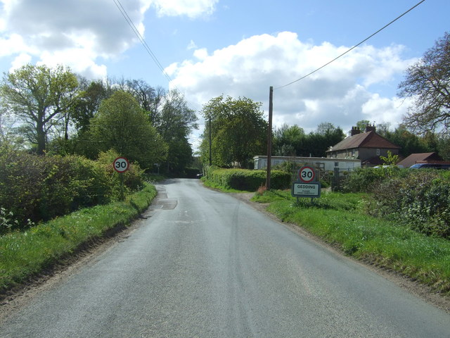
Lower Green is a small village located in the county of Suffolk, England. Situated approximately 10 miles east of the town of Ipswich, it falls within the district of Babergh. The village is nestled amidst picturesque countryside, boasting a tranquil and rural setting.

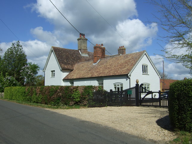
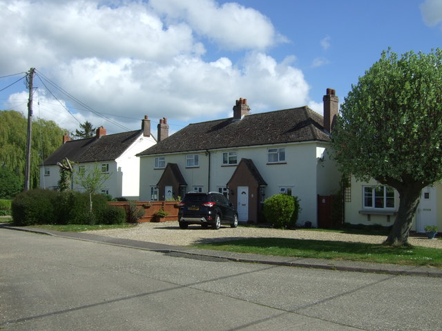
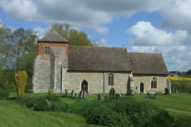
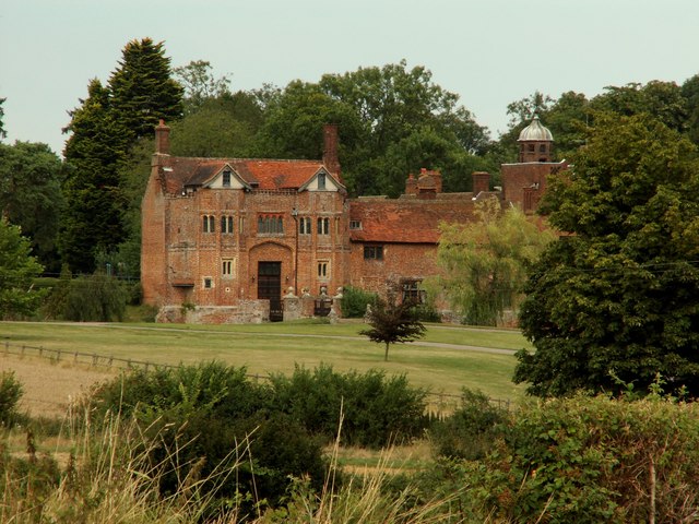
Lower Green is characterized by its charming traditional cottages and historic buildings, which add to its quaint and inviting atmosphere. The village is home to a close-knit community, with a population of around 300 residents. It offers a peaceful and idyllic lifestyle, away from the hustle and bustle of larger towns and cities.

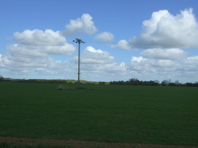
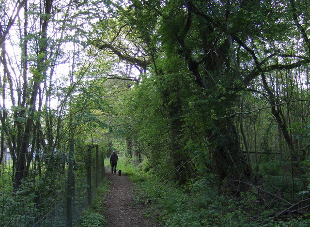
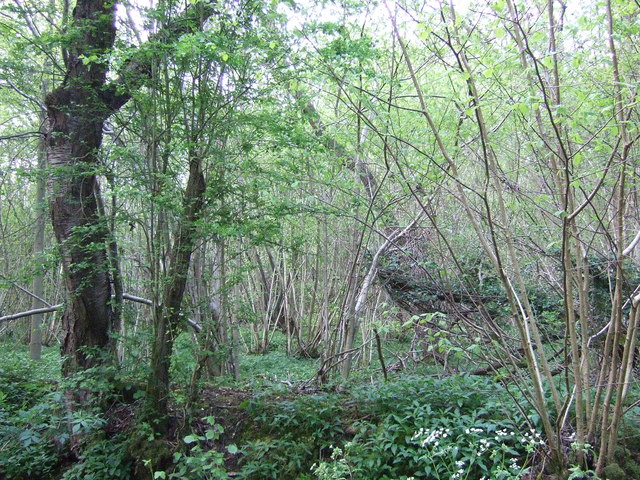
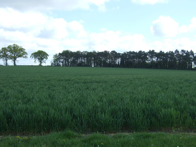
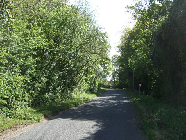
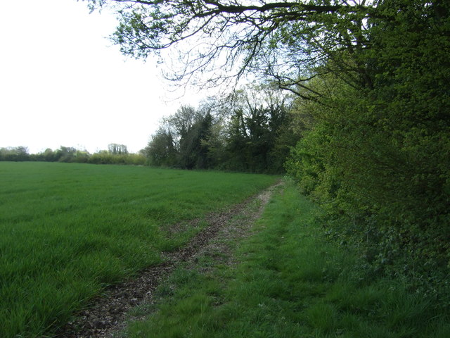
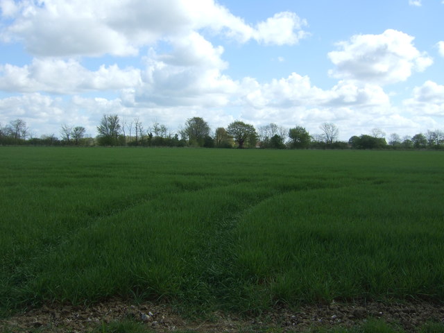
The village is surrounded by stunning natural landscapes, with rolling green fields, meandering rivers, and lush woodlands nearby. This makes it an ideal location for nature lovers and outdoor enthusiasts, who can enjoy activities such as hiking, cycling, and fishing in the surrounding areas.

Facilities in Lower Green are limited, with no shops or amenities within the village itself. However, the nearby towns of Ipswich and Stowmarket provide easy access to a wider range of services, including supermarkets, schools, healthcare facilities, and recreational activities.

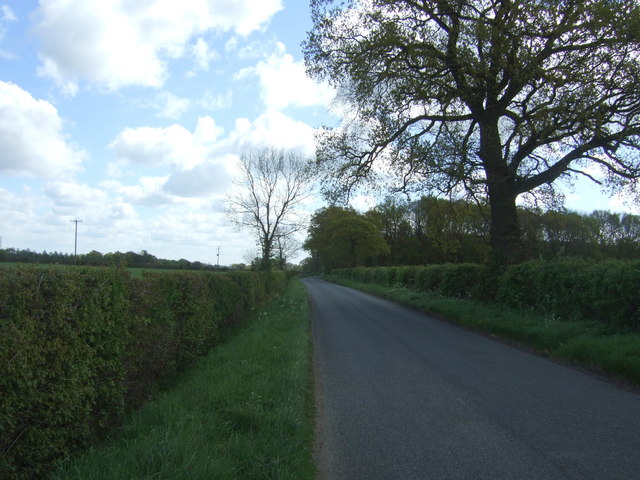
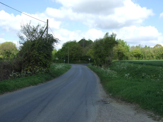
Lower Green is well-connected by road, with the A14 highway passing close by, providing convenient links to other parts of Suffolk and beyond. The village also benefits from a reliable public transportation system, with regular bus services to nearby towns and villages.

Overall, Lower Green offers a serene and picturesque setting, perfect for those seeking a peaceful rural lifestyle, while still being within reach of larger towns and amenities.

If you have any feedback on the listing, please let us know in the comments section below.
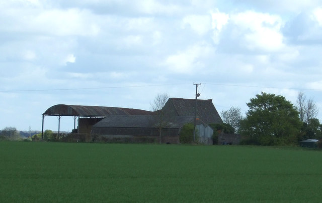
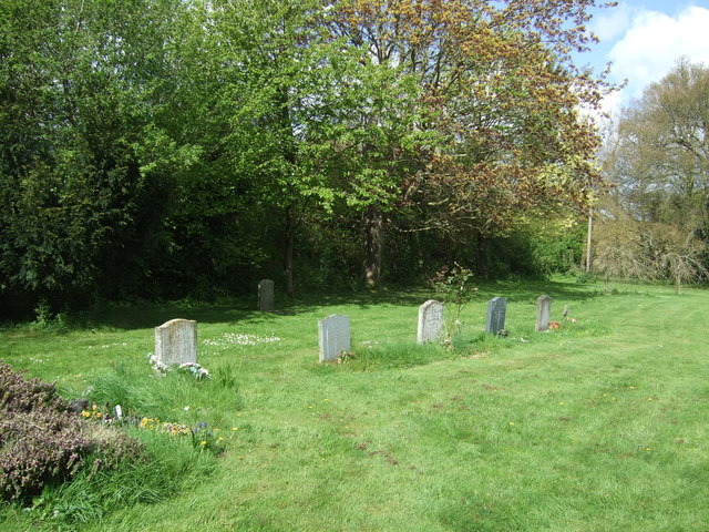
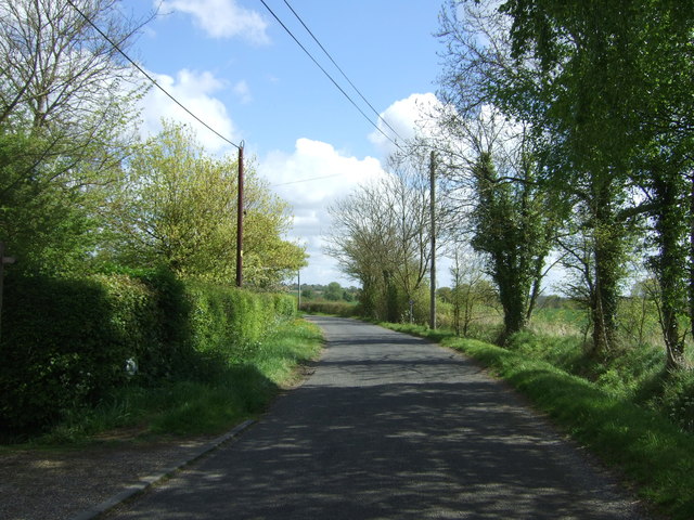
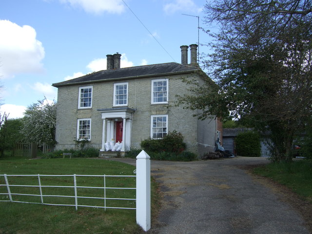
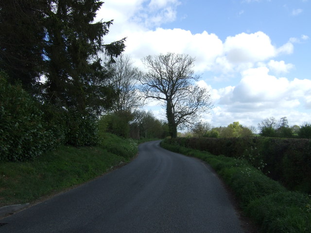
Lower Green Images

Images are sourced within 2km of 52.179006/0.84893992 or Grid Reference TL9457. Thanks to Geograph Open Source API. All images are credited.

Farmland, Cargate North of Felsham Road.
Farmland, Cargate
North of Felsham Road.
Abbot's Hall Farm
Abbot's Hall Farm
Felsham Road Heading east from Cargate.
Felsham Road
Heading east from Cargate.
Footpath through Bradfield Woods
Bradfield Woods
Bradfield Woods
Crop field near Gedding Off Felsham Road.
Crop field near Gedding
Off Felsham Road.
Felsham Road, Gedding Looking north west.
Felsham Road, Gedding
Looking north west.
Grange Farm
Grange Farm
Entering Gedding Looking south on Felsham Road.
Entering Gedding
Looking south on Felsham Road.
Drinkstone Road, Gedding Looking east.
Drinkstone Road, Gedding
Looking east.
Houses off Drinkstone Road, Gedding
St Mary's Church, Gedding
Graveyard, St Mary's Church, Gedding
Drinkstone Road, Gedding Looking north east.
Drinkstone Road, Gedding
Looking north east.
House near Wentis Farm
Lane near Wentis Farm Looking north east.
Lane near Wentis Farm
Looking north east.
Crop field and hedgerow near Hill Farm
Crop field near Hill Farm
Show me another place!

Lower Green is located at Grid Ref: TL9457 (Lat: 52.179006, Lng: 0.84893992)

Administrative County: Suffolk

District: Mid Suffolk

Police Authority: Suffolk

What 3 Words

///torch.boots.vintages. Near Woolpit, Suffolk

Nearby Locations

Lower Green Felsham

Related Wikis

Felsham

Felsham is a village and civil parish in the Mid Suffolk district of Suffolk in eastern England. In 2005 its population was 420. == History == The origin...

Gedding

Gedding is a village and civil parish in the Mid Suffolk district of Suffolk in eastern England. Located around six miles south east of Bury St Edmunds...

RAF Rattlesden

Royal Air Force Rattlesden or more simply RAF Rattlesden is a former Royal Air Force station located 9 miles (14 km) south east of Bury St Edmunds, Suffolk...

Bradfield Woods

Bradfield Woods is an 81.4-hectare (201-acre) biological Site of Special Scientific Interest between Bury St Edmunds and Stowmarket in Suffolk. The site...

Thorpe Morieux Woods

Thorpe Morieux Woods is a 45.2-hectare (112-acre) biological Site of Special Scientific Interest north of Thorpe Morieux in Suffolk. Part of it is Bull...

Drinkstone

Drinkstone is a small settlement and civil parish in Suffolk, England. Its name is derived from Dremic's homestead. It was located in the hundred of Thedwastre...

Centre Academy East Anglia

Centre Academy East Anglia, formerly known as The Old Rectory School is a private special school in Brettenham, Suffolk, England, founded in 1981. The...

Rattlesden

Rattlesden is a village and civil parish in the Mid Suffolk district of Suffolk in eastern England. It is approximately 15 miles (24 km) north-west from...

Nearby Amenities

Located within 500m of 52.179006,0.84893992
Felsham
Place: village
Source: survey
Wikidata: Q2794573
Lat/Long: 52.1787597/0.8431397
Bus Stop
Six Bells
Naptan AtcoCode: 390040667
Naptan Bearing: E
Naptan BusStopType: CUS
Naptan CommonName: Six Bells
Naptan Indicator: adj
Naptan Landmark: Six Bells
Naptan NaptanCode: sufgapwg
Naptan Street: Church Road
Naptan Verified: no
Source: naptan_import
Lat/Long: 52.1774149/0.846167
Bus Stop
Six Bells
Naptan AtcoCode: 390040668
Naptan Bearing: W
Naptan CommonName: Six Bells
Naptan Indicator: opp
Naptan Landmark: Six Bells
Naptan NaptanCode: sufgapwj
Naptan Street: Church Road
Naptan Verified: no
Source: naptan_import
Lat/Long: 52.1773346/0.846513
Bus Stop
Playing Fields
Naptan AtcoCode: 390040908
Naptan Bearing: N
Naptan BusStopType: CUS
Naptan CommonName: Playing Fields
Naptan Indicator: adj
Naptan Landmark: Playing Fields
Naptan NaptanCode: sufjgjgw
Naptan Street: Church Road
Naptan Verified: no
Source: naptan_import
Lat/Long: 52.1790295/0.8489473
Bus Stop
Playing Fields
Naptan AtcoCode: 390040909
Naptan Bearing: S
Naptan BusStopType: CUS
Naptan CommonName: Playing Fields
Naptan Indicator: opp
Naptan Landmark: Playing Fields
Naptan NaptanCode: sufjgjma
Naptan Street: Church Road
Naptan Verified: no
Source: naptan_import
Lat/Long: 52.1790278/0.8490204
Bus Stop
Bury Road
Naptan AtcoCode: 390040910
Naptan Bearing: S
Naptan BusStopType: CUS
Naptan CommonName: Bury Road
Naptan Indicator: adj
Naptan Landmark: The Green
Naptan NaptanCode: sufjgjmd
Naptan Street: Cockfield Road
Naptan Verified: no
Source: naptan_import
Lat/Long: 52.1777376/0.8440654
Bus Stop
Bury Road
Naptan AtcoCode: 390040911
Naptan Bearing: W
Naptan BusStopType: CUS
Naptan CommonName: Bury Road
Naptan Indicator: opp
Naptan Landmark: The Green
Naptan NaptanCode: sufjgjmg
Naptan Street: Cockfield Road
Naptan Verified: no
Source: naptan_import
Lat/Long: 52.177586/0.8439409
Bus Stop
The Orchard
Naptan AtcoCode: 390041008
Naptan Bearing: N
Naptan BusStopType: CUS
Naptan CommonName: The Orchard
Naptan Indicator: adj
Naptan Landmark: Orchard
Naptan NaptanCode: sufjgpgt
Naptan Street: The Orchard
Naptan Verified: no
Source: naptan_import
Lat/Long: 52.1780553/0.8431066
Power: pole
Lat/Long: 52.1792332/0.847092
Power: pole
Lat/Long: 52.1806301/0.8459449
Power: pole
Lat/Long: 52.179836/0.846586
Power: pole
Lat/Long: 52.1814069/0.8453244
The data included in this document is from www.openstreetmap.org. The data is made available under ODbL.

Have you been to Lower Green?

Leave your review of Lower Green below (or comments, questions and feedback).