Ash Hill Wood

Wood, Forest in Norfolk King's Lynn and West Norfolk

England

Ash Hill Wood

St Mary, Southery: churchyard (a)
St Mary, Southery: churchyard (a) Credit: Basher Eyre

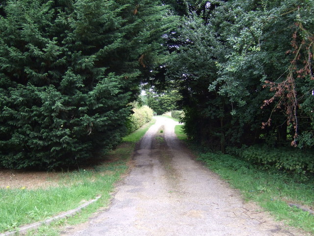
Ash Hill Wood is a picturesque woodland located in Norfolk, England. Covering an area of approximately 50 hectares, it is a stunning natural habitat that offers a tranquil retreat for nature lovers and outdoor enthusiasts.

The wood is dominated by a mix of deciduous and coniferous trees, including oak, birch, beech, and pine. The lush vegetation provides a thriving habitat for a diverse range of flora and fauna. Bluebells carpet the forest floor in the spring, creating a breathtaking display of colors. The wood is also home to various species of birds, mammals, and insects, making it a haven for wildlife enthusiasts.

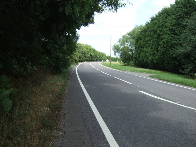
Visitors to Ash Hill Wood can explore a network of well-maintained trails that wind through the forest, allowing for leisurely walks and peaceful hikes. These paths provide opportunities to soak in the natural beauty and connect with the surrounding environment. The wood is also equipped with picnic areas, making it an ideal spot for a family outing or a peaceful picnic surrounded by nature.

Ash Hill Wood is managed by the local authorities, who ensure the preservation and conservation of this valuable natural resource. They actively work to maintain the woodland's ecosystem and protect its biodiversity.

With its serene atmosphere, stunning scenery, and abundant wildlife, Ash Hill Wood offers a delightful escape from the hustle and bustle of everyday life. Whether it's a leisurely stroll, birdwatching, or simply enjoying a picnic amidst nature, this woodland provides an enchanting experience for all who visit.

If you have any feedback on the listing, please let us know in the comments section below.

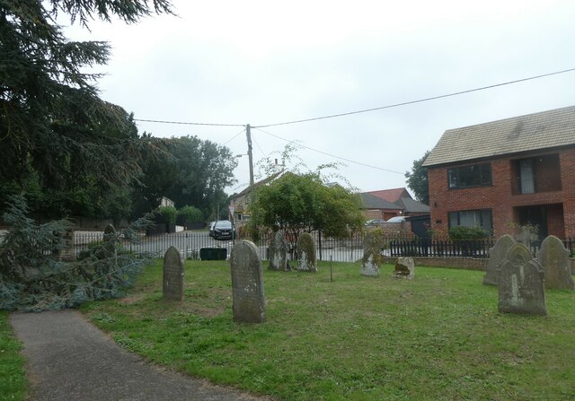
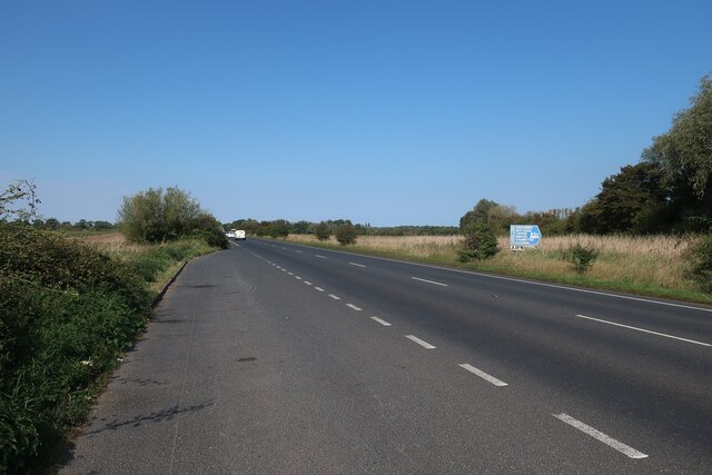
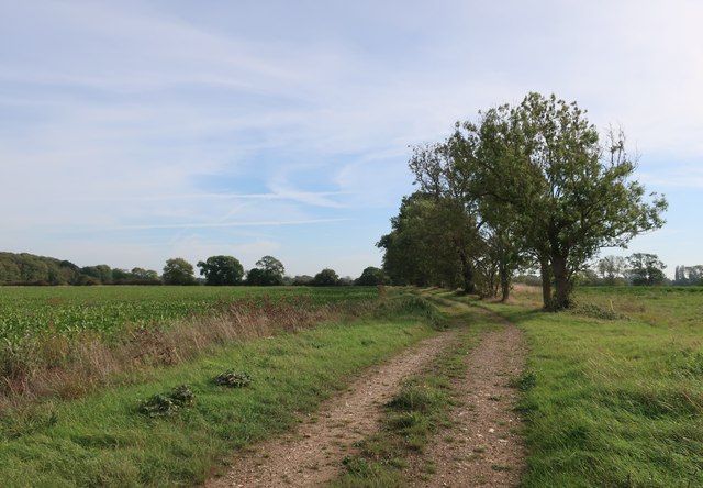
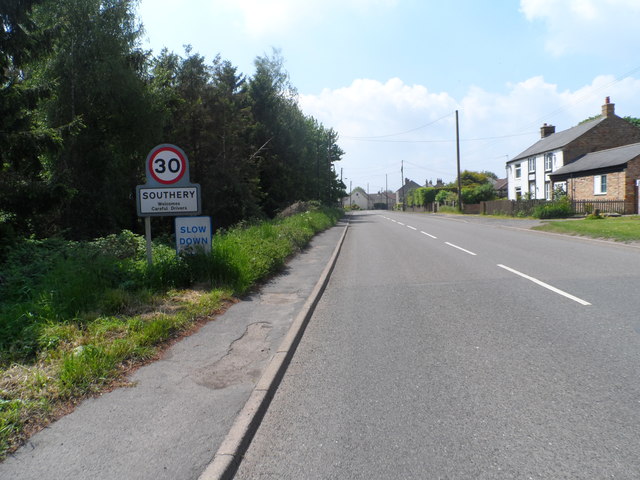
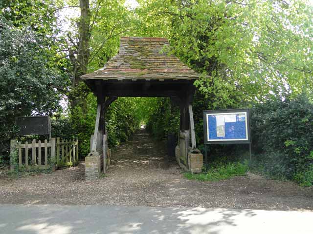
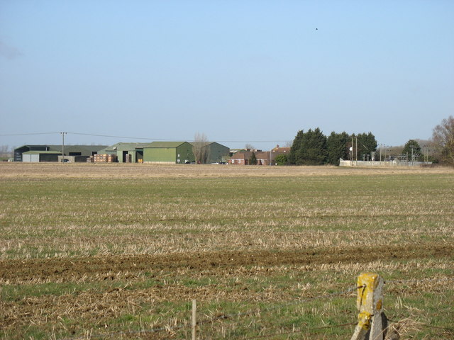
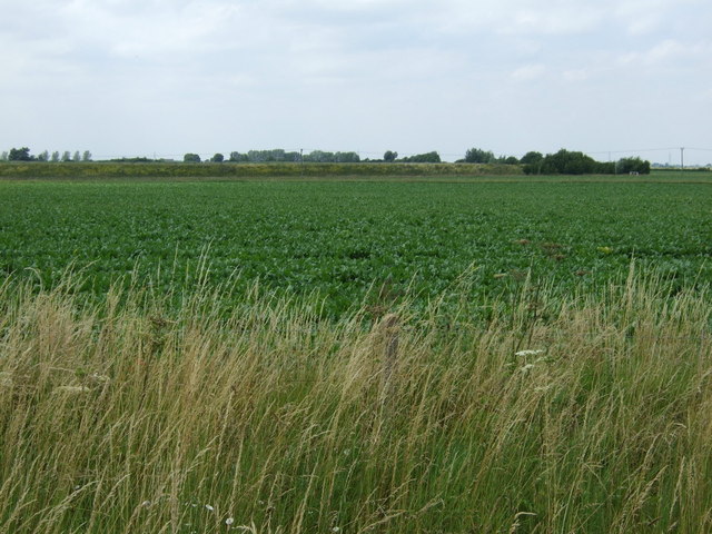
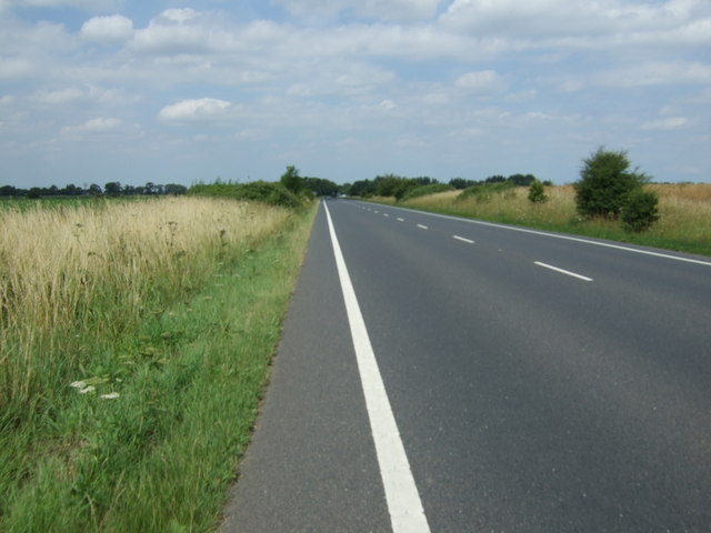
Ash Hill Wood Images

Images are sourced within 2km of 52.542704/0.39688847 or Grid Reference TL6296. Thanks to Geograph Open Source API. All images are credited.

St Mary, Southery: churchyard (a)
Layby by A10 near Southery
Bridleway from A10
Bridleway from A10
B1160 into Southery
B1160 into Southery
The Farmers Arms, Southery
Southery village sign
Derelict buildings at Modney Bridge Farm
Hilgay water tower Complete with the usual collection of mobile phone masts. I predict in future generations the water tower function will disappear and everybody will think these structures were built for the mobile phone network - depressing.
Hilgay water tower
Complete with the usual collection of mobile phone masts. I predict in future generations the water tower function will disappear and everybody will think these structures were built for the mobile phone network - depressing.
Ruin of St. Mary's church, Southery The ruined St Mary's church in Southery was a simple building mainly constructed of carstone, brick was used to repair the church with limited success. It consisted of a chancel, nave, and a wooden bell turret housing a single bell. With a growing population and the arrival of a new vicar in 1855, who thought the church looked like a ‘wretched barn’, it was decided to build a new church, about 100 yards away just round the corner. The foundation stone of which was laid in 1858 by the Bishop of Norwich. The old church was then abandoned and it has become what can only be described as a blot on the landscape. There is nothing to be seen even if it were possible to get near it. Surrounded by a safety fence which does nothing to enhance the site or give the village something to be proud of.
Ruin of St. Mary's church, Southery
The ruined St Mary's church in Southery was a simple building mainly constructed of carstone, brick was used to repair the church with limited success. It consisted of a chancel, nave, and a wooden bell turret housing a single bell. With a growing population and the arrival of a new vicar in 1855, who thought the church looked like a ‘wretched barn’, it was decided to build a new church, about 100 yards away just round the corner. The foundation stone of which was laid in 1858 by the Bishop of Norwich. The old church was then abandoned and it has become what can only be described as a blot on the landscape. There is nothing to be seen even if it were possible to get near it. Surrounded by a safety fence which does nothing to enhance the site or give the village something to be proud of.
Hilgay All Saints church The church was almost totally rebuilt of brick in 1794. The tower is no higher than the apex of the nave roof. Entry is gained by the north porch above which is a plaque to G W Manby, churchwarden here in 1794, his son was the inventor of the Manby Mortar, which has saved many lives from shipwrecks. He is buried on the south side of the church. Inside, there is an 18th c. font and a  disquieting coloured stone pulpit. What I found most interesting was the beautifully preserved glass-sided hearse, and the sketch of the church before the restoration showing the south aisle as the only original part of the old church that remains. It surprisingly still has its old 15th c. roof. The 18th c. piscina and sedilia are somehow unnatural and sit awkwardly in the sanctuary. The church is, however well loved and looked after.
Hilgay All Saints church
The church was almost totally rebuilt of brick in 1794. The tower is no higher than the apex of the nave roof. Entry is gained by the north porch above which is a plaque to G W Manby, churchwarden here in 1794, his son was the inventor of the Manby Mortar, which has saved many lives from shipwrecks. He is buried on the south side of the church. Inside, there is an 18th c. font and a disquieting coloured stone pulpit. What I found most interesting was the beautifully preserved glass-sided hearse, and the sketch of the church before the restoration showing the south aisle as the only original part of the old church that remains. It surprisingly still has its old 15th c. roof. The 18th c. piscina and sedilia are somehow unnatural and sit awkwardly in the sanctuary. The church is, however well loved and looked after.
Gravestone to a miller at Hilgay The occupant interred below is John Whittome who died in 1891. His wife Elizabeth followed him 3 years later
Gravestone to a miller at Hilgay
The occupant interred below is John Whittome who died in 1891. His wife Elizabeth followed him 3 years later
Lychgate to Hilgay church
Farmland near Further Fen Farm
Crop field west of the A10
A10 heading north Towards Downham Market.
A10 heading north
Towards Downham Market.
Track to White House Farm Looking east from the A10.
Track to White House Farm
Looking east from the A10.
A10 heading north  Towards Downham Market.
A10 heading north
Towards Downham Market.
Show me another place!

Ash Hill Wood is located at Grid Ref: TL6296 (Lat: 52.542704, Lng: 0.39688847)

Administrative County: Norfolk

District: King's Lynn and West Norfolk

Police Authority: Norfolk

What 3 Words

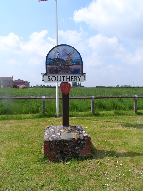
///ideas.lollipop.closer. Near Southery, Norfolk

Related Wikis

Hilgay

Hilgay is a village and civil parish in Norfolk, England, 4 miles (6.4 km) from Downham Market. It covers an area of 33.38 km2 (12.89 sq mi) and had a...

Modeney Priory

Modeney Priory—also spelled Modney and Modeny—was a Benedictine priory in the civil parish of Hilgay, Norfolk, England. Located less than a mile east of...

Southery

Southery is a village and civil parish in Norfolk, England, which covers an area of 18.12 km2 (7.00 sq mi) and had a population of 1,324 at the 2011 Census...

1974 Norfolk mid-air collision

The 1974 Norfolk mid-air collision happened on 9 August 1974 at Fordham Fen, Norfolk, England when a Royal Air Force McDonnell-Douglas F-4M Phantom FGR...

Hilgay Heronry

Hilgay Heronry is a 1.8-hectare (4.4-acre) biological Site of Special Scientific Interest south of Downham Market in Norfolk.This small wood has a nationally...

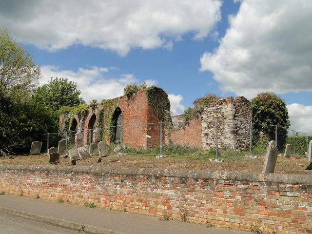
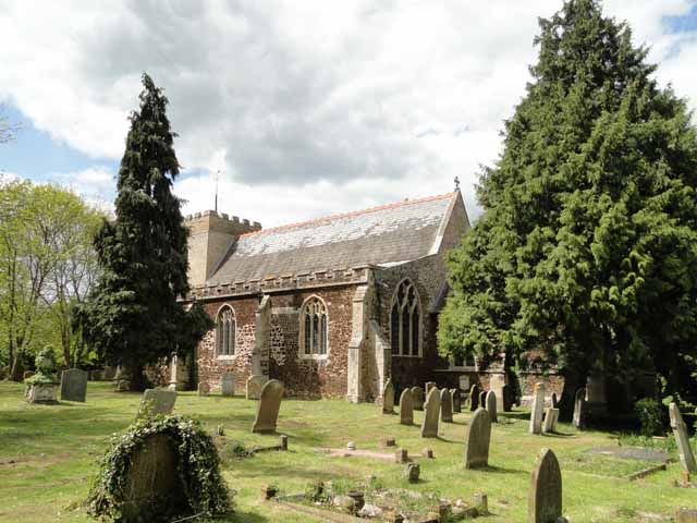
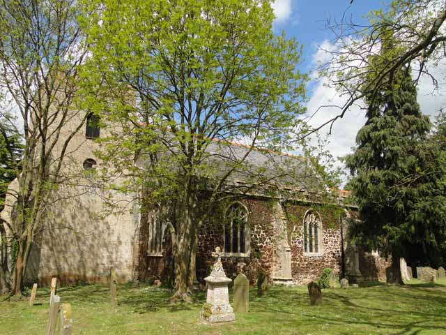
St Mary's Church, Fordham

St Mary's Church is located to the south of the village of Fordham, Norfolk, England. It is a redundant Anglican parish church in the care of the Friends...

Fordham, Norfolk

Fordham is a small village and civil parish in the English county of Norfolk. The village is located 2.2 miles (3.5 km) north of Downham Market and 39...

Ryston railway station

Ryston railway station was a railway station serving Fordham, Norfolk. It was on a branch line from Denver. == History == The Downham and Stoke Ferry Railway...

Related Videos

YEET BOAT FOR LIFE. BRADAS WAKANDA FOREVER

Im with my friends from yeetnation and we are on yeet boat.

River Wissey, Hilgay to Wissington.

Easy launch next to the bridge at Hilgay then a pleasant paddle down the Wissey to the sugar beet factory.

The Bald Flyer. - Lockdown freedom flight March 29th 2021

finally we can fly a lockdown reduces so as it's 29th March 2021 brushing out the cobwebs and going for my self certification ...

Nearby Amenities

Located within 500m of 52.542704,0.39688847
Fixme: Does a Public Bridleway run SE from here?
Note: According to the Definitive Statement, Southery BR 4 should continue SE from here
Lat/Long: 52.5396441/0.3938512
The data included in this document is from www.openstreetmap.org. The data is made available under ODbL.

Have you been to Ash Hill Wood?

Leave your review of Ash Hill Wood below (or comments, questions and feedback).