Seven Acre Plantation

Wood, Forest in Norfolk King's Lynn and West Norfolk

England

Seven Acre Plantation

Bridleway from A10
Bridleway from A10 Credit: Hugh Venables

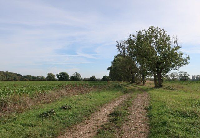
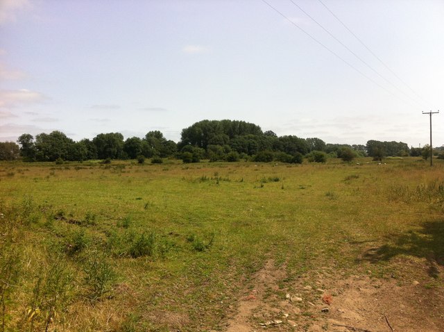
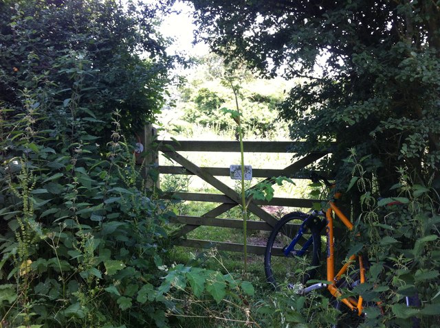
Seven Acre Plantation, located in Norfolk, is a remarkable wood and forest area spanning approximately seven acres. This enchanting plantation is nestled in the heart of Norfolk County, providing a serene and picturesque location for nature enthusiasts and outdoor lovers alike.

The plantation boasts a diverse range of flora and fauna, creating a thriving ecosystem that supports a variety of wildlife. Tall, majestic oak trees dominate the landscape, providing a canopy of shade and shelter for the abundant wildlife that calls this plantation home. Additionally, the plantation is home to a variety of other tree species, including beech, ash, and birch trees, adding to the overall beauty and biodiversity of the area.

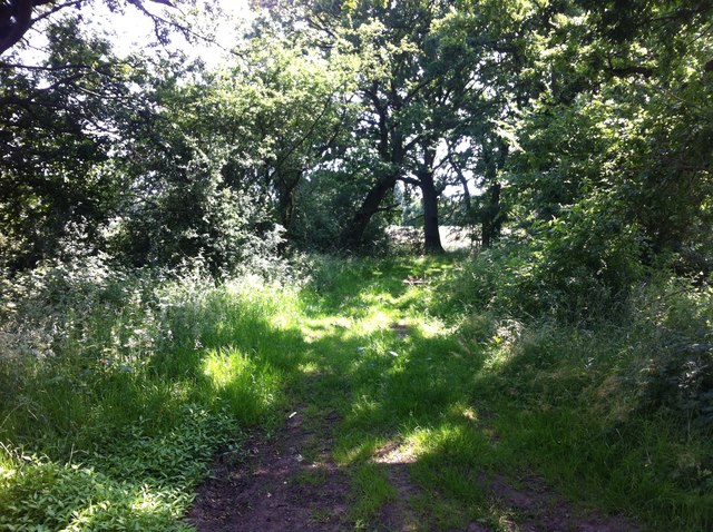
Walking through Seven Acre Plantation is like stepping into a tranquil oasis. The forest floor is carpeted with a rich layer of moss, ferns, and wildflowers, creating a vibrant and colorful tapestry. The air is filled with the sweet scent of wildflowers, and the gentle rustling of leaves adds a soothing soundtrack to the experience.

The plantation also features several walking trails, allowing visitors to explore the area at their own pace. These well-maintained trails wind through the forest, offering glimpses of the various wildlife that inhabit the area, such as deer, rabbits, and a wide array of bird species.

Seven Acre Plantation is not only a haven for nature lovers but also serves as an important habitat for local flora and fauna. Its natural beauty and diverse ecosystem make it a must-visit destination for anyone seeking a peaceful and immersive nature experience in Norfolk.

If you have any feedback on the listing, please let us know in the comments section below.

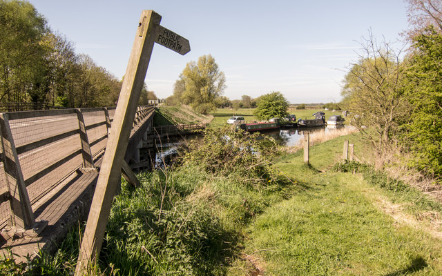
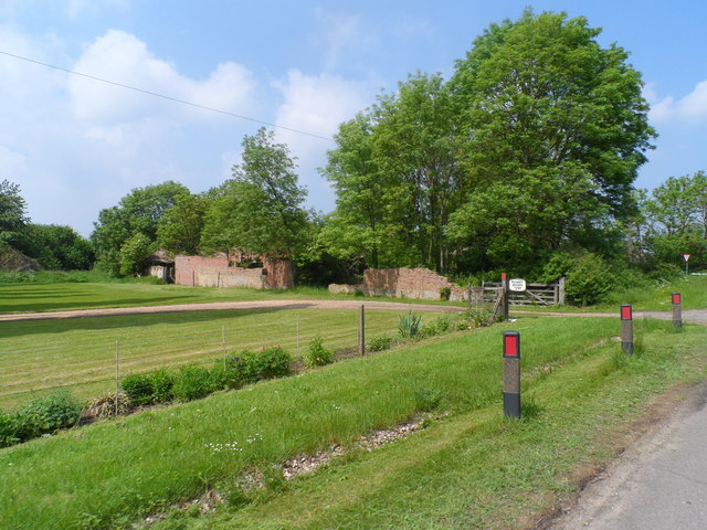
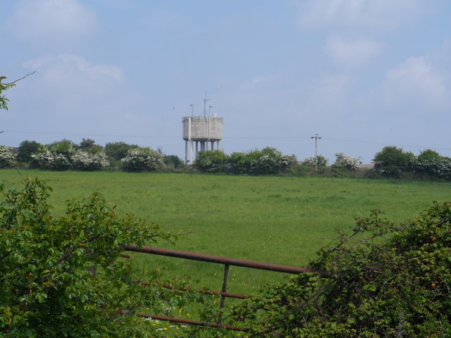
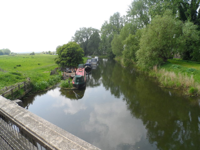
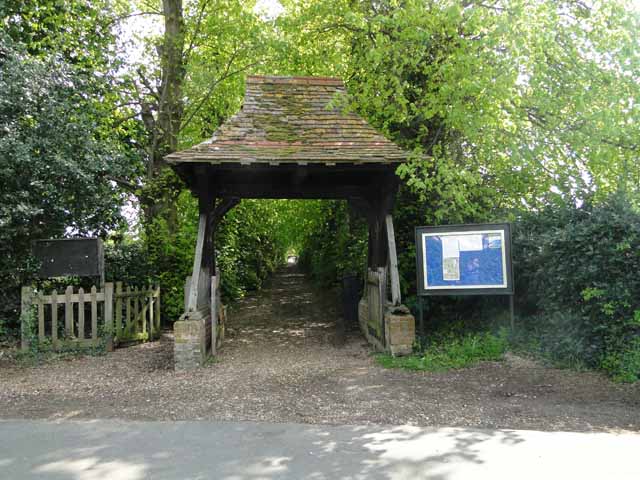
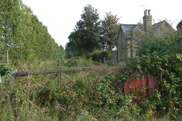
Seven Acre Plantation Images

Images are sourced within 2km of 52.546346/0.39463853 or Grid Reference TL6296. Thanks to Geograph Open Source API. All images are credited.

Bridleway from A10
Bridleway from A10
Welcome to Hilgay 48hr Mooring The Environment Agency signs warns the public No Fishing, No Diving and No Swimming.
Welcome to Hilgay 48hr Mooring
The Environment Agency signs warns the public No Fishing, No Diving and No Swimming.
Picnic site and public convenience
Two bridges In the foreground is Hilgay Bridge, in the background another bridge carries the A10 over the River Wissey.
Two bridges
In the foreground is Hilgay Bridge, in the background another bridge carries the A10 over the River Wissey.
A10 at River Wissey Start of riverside footpath.  Very dangerous to approach!
A10 at River Wissey
Start of riverside footpath. Very dangerous to approach!
Derelict buildings at Modney Bridge Farm
Hilgay water tower Complete with the usual collection of mobile phone masts. I predict in future generations the water tower function will disappear and everybody will think these structures were built for the mobile phone network - depressing.
Hilgay water tower
Complete with the usual collection of mobile phone masts. I predict in future generations the water tower function will disappear and everybody will think these structures were built for the mobile phone network - depressing.
Narrow boats on the River Wissey
Old Milestone Old milestone on what was the A.10 at Hilgay, Norfolk. For close up view see <a title="https://www.geograph.org.uk/photo/3511213" href="https://www.geograph.org.uk/photo/3511213">Link</a>
Old Milestone
Old milestone on what was the A.10 at Hilgay, Norfolk. For close up view see Link
Old Milestone Old milestone on what was the A.10 at Hilgay, Norfolk. For overall view see <a title="https://www.geograph.org.uk/photo/3511207" href="https://www.geograph.org.uk/photo/3511207">Link</a>
Old Milestone
Old milestone on what was the A.10 at Hilgay, Norfolk. For overall view see Link
Lost I'm sure I should be over there somewhere.
Lost
I'm sure I should be over there somewhere.
Thistle Hill Road A bridleway on Hilgay Fen.
Thistle Hill Road
A bridleway on Hilgay Fen.
Please Close Gate I rode past this overgrown gate twice before I finally spotted it. I wish I never had, as the bridleway behind it eventually disappears by the sugar factory.
Please Close Gate
I rode past this overgrown gate twice before I finally spotted it. I wish I never had, as the bridleway behind it eventually disappears by the sugar factory.
Hilgay All Saints church The church was almost totally rebuilt of brick in 1794. The tower is no higher than the apex of the nave roof. Entry is gained by the north porch above which is a plaque to G W Manby, churchwarden here in 1794, his son was the inventor of the Manby Mortar, which has saved many lives from shipwrecks. He is buried on the south side of the church. Inside, there is an 18th c. font and a  disquieting coloured stone pulpit. What I found most interesting was the beautifully preserved glass-sided hearse, and the sketch of the church before the restoration showing the south aisle as the only original part of the old church that remains. It surprisingly still has its old 15th c. roof. The 18th c. piscina and sedilia are somehow unnatural and sit awkwardly in the sanctuary. The church is, however well loved and looked after.
Hilgay All Saints church
The church was almost totally rebuilt of brick in 1794. The tower is no higher than the apex of the nave roof. Entry is gained by the north porch above which is a plaque to G W Manby, churchwarden here in 1794, his son was the inventor of the Manby Mortar, which has saved many lives from shipwrecks. He is buried on the south side of the church. Inside, there is an 18th c. font and a disquieting coloured stone pulpit. What I found most interesting was the beautifully preserved glass-sided hearse, and the sketch of the church before the restoration showing the south aisle as the only original part of the old church that remains. It surprisingly still has its old 15th c. roof. The 18th c. piscina and sedilia are somehow unnatural and sit awkwardly in the sanctuary. The church is, however well loved and looked after.
Gravestone to a miller at Hilgay The occupant interred below is John Whittome who died in 1891. His wife Elizabeth followed him 3 years later
Gravestone to a miller at Hilgay
The occupant interred below is John Whittome who died in 1891. His wife Elizabeth followed him 3 years later
Lychgate to Hilgay church
Modney Bridge Road The bridge ahead, to the left, is actually Hilgay Bridge, crossing the River Great Ouse. Modney Bridge, crossing the minor Tansy Drain, is behind the camera.
Modney Bridge Road
The bridge ahead, to the left, is actually Hilgay Bridge, crossing the River Great Ouse. Modney Bridge, crossing the minor Tansy Drain, is behind the camera.
Show me another place!

Seven Acre Plantation is located at Grid Ref: TL6296 (Lat: 52.546346, Lng: 0.39463853)

Administrative County: Norfolk

District: King's Lynn and West Norfolk

Police Authority: Norfolk

What 3 Words

///talker.market.equity. Near Southery, Norfolk

Related Wikis

Hilgay

Hilgay is a village and civil parish in Norfolk, England, 4 miles (6.4 km) from Downham Market. It covers an area of 33.38 km2 (12.89 sq mi) and had a...

Modeney Priory

Modeney Priory—also spelled Modney and Modeny—was a Benedictine priory in the civil parish of Hilgay, Norfolk, England. Located less than a mile east of...

1974 Norfolk mid-air collision

The 1974 Norfolk mid-air collision happened on 9 August 1974 at Fordham Fen, Norfolk, England when a Royal Air Force McDonnell-Douglas F-4M Phantom FGR...

Southery

Southery is a village and civil parish in Norfolk, England, which covers an area of 18.12 km2 (7.00 sq mi) and had a population of 1,324 at the 2011 Census...

Hilgay Heronry

Hilgay Heronry is a 1.8-hectare (4.4-acre) biological Site of Special Scientific Interest south of Downham Market in Norfolk.This small wood has a nationally...

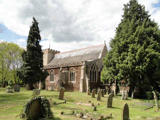
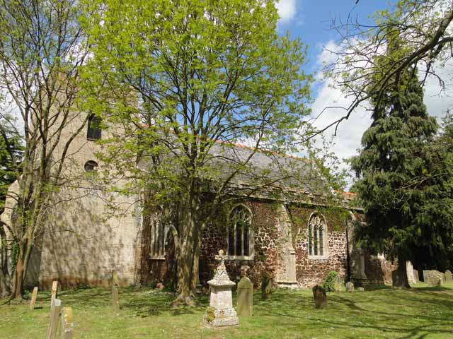
St Mary's Church, Fordham

St Mary's Church is located to the south of the village of Fordham, Norfolk, England. It is a redundant Anglican parish church in the care of the Friends...

Fordham, Norfolk

Fordham is a small village and civil parish in the English county of Norfolk. The village is located 2.2 miles (3.5 km) north of Downham Market and 39...

Ryston railway station

Ryston railway station was a railway station serving Fordham, Norfolk. It was on a branch line from Denver. == History == The Downham and Stoke Ferry Railway...

Nearby Amenities

Located within 500m of 52.546346,0.39463853
Power: pole
Lat/Long: 52.5501954/0.3912243
Power: pole
Lat/Long: 52.550502/0.3944106
Power: pole
Lat/Long: 52.550378/0.3933914
Power: pole
Lat/Long: 52.5503062/0.3923025
Power: pole
Lat/Long: 52.545121/0.3876435
Power: pole
Lat/Long: 52.5505885/0.3954272
Power: pole
Lat/Long: 52.5458876/0.3879976
The data included in this document is from www.openstreetmap.org. The data is made available under ODbL.

Have you been to Seven Acre Plantation?

Leave your review of Seven Acre Plantation below (or comments, questions and feedback).