Tansy Plantation
Wood, Forest in Norfolk King's Lynn and West Norfolk
England
Tansy Plantation
Tansy Plantation is a picturesque woodland located in Norfolk, England. Situated within the larger Tansy Forest, this plantation is known for its beautiful display of tansy plants, which give the area its name. Tansy is a perennial herbaceous plant with yellow flowers that bloom during the summer months, filling the plantation with vibrant hues.
Covering an area of approximately 50 acres, Tansy Plantation is a haven for nature enthusiasts and hikers alike. The plantation is characterized by a diverse range of trees, including oak, beech, and birch, creating a rich and varied landscape. The dense canopy of these trees provides shade and shelter for a variety of wildlife, making it a popular spot for birdwatching.
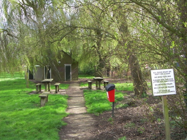
The plantation is crisscrossed by several well-maintained footpaths, allowing visitors to explore its beauty at their own pace. These paths wind through the woodland, offering glimpses of wildflowers, moss-covered rocks, and babbling brooks. The tranquil atmosphere and stunning scenery make Tansy Plantation a popular destination for those seeking a peaceful retreat from the hustle and bustle of everyday life.
Tansy Plantation is also home to a small visitor center, providing information about the local flora and fauna. The center offers guided walks and educational programs, promoting awareness and conservation of the natural environment. Additionally, there are picnic areas and benches scattered throughout the plantation, providing visitors with opportunities to relax and enjoy the surroundings.
Overall, Tansy Plantation in Norfolk is a haven of natural beauty, offering a serene escape into the heart of nature.
If you have any feedback on the listing, please let us know in the comments section below.
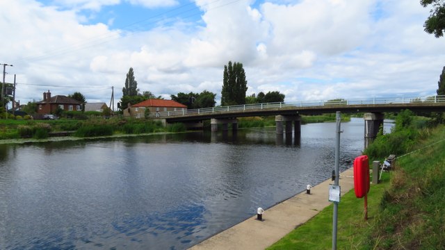
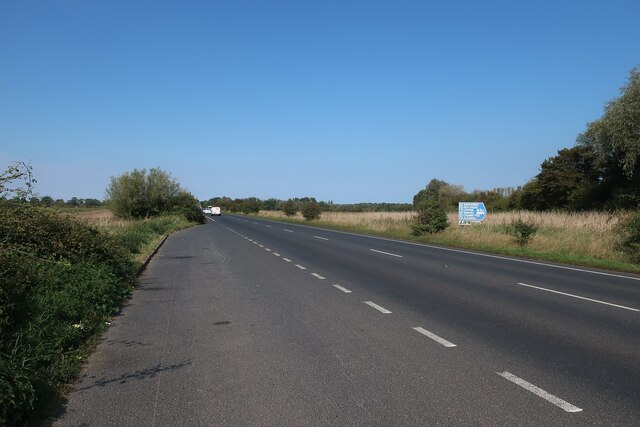
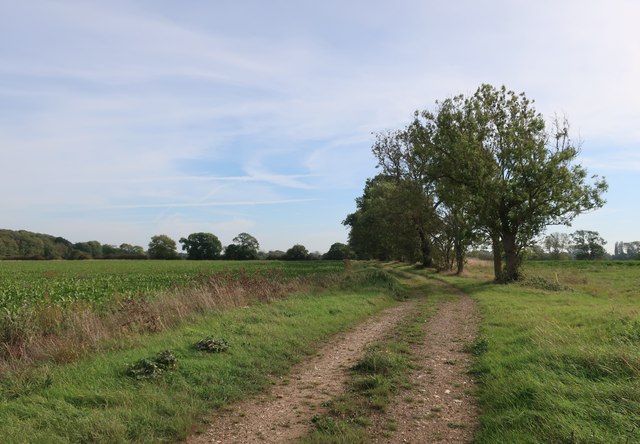
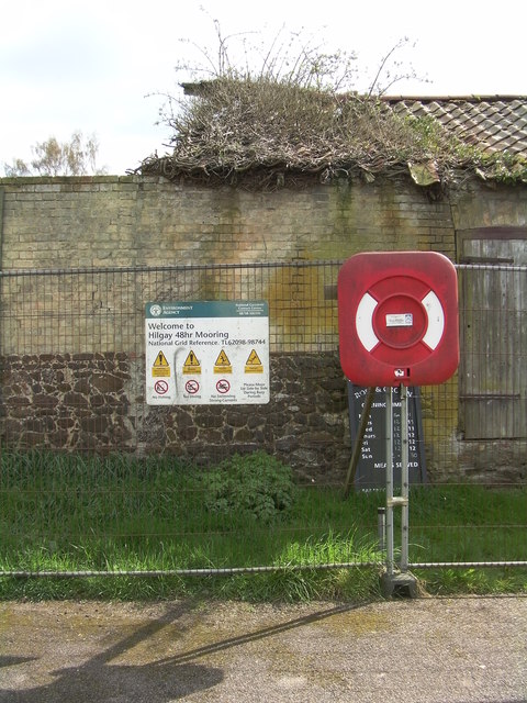
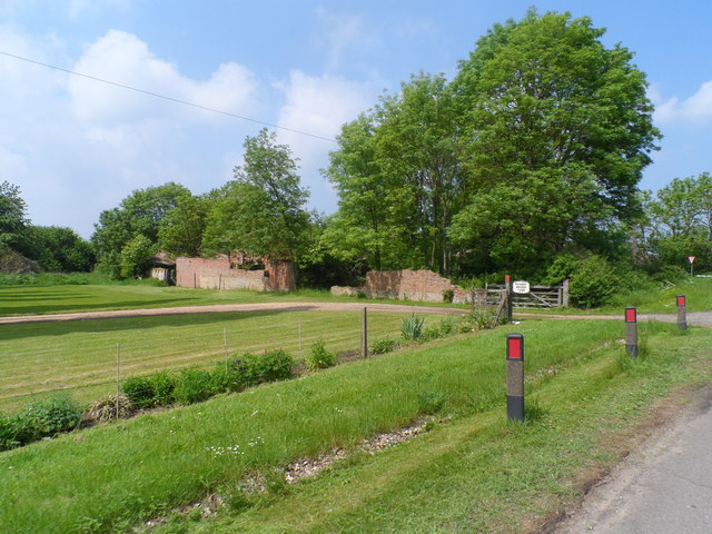
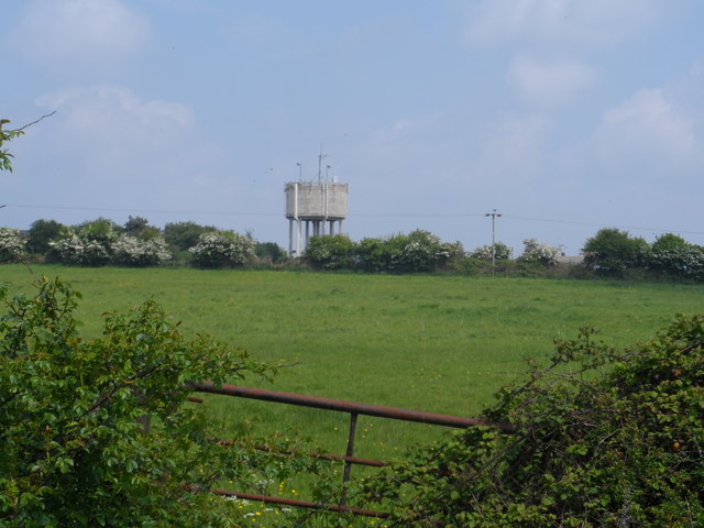
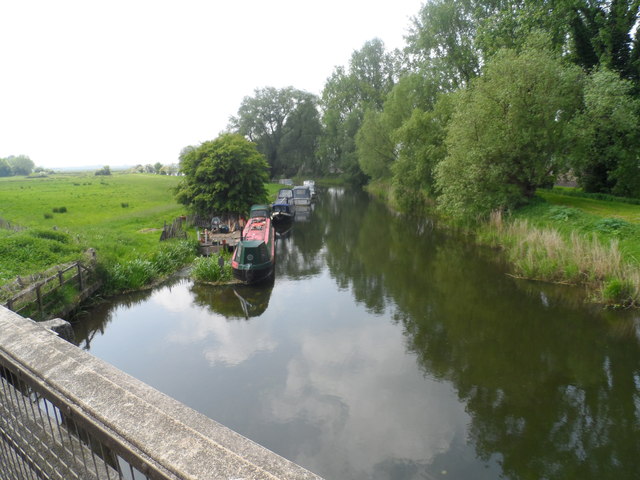
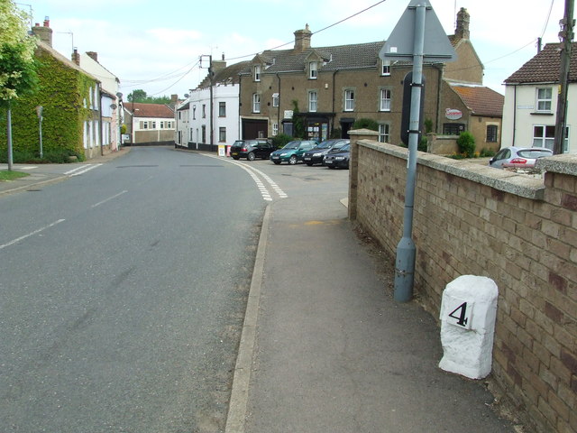
Tansy Plantation Images
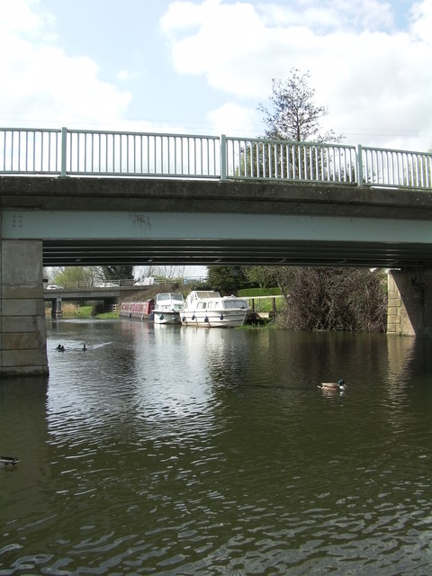
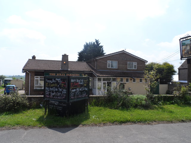
Images are sourced within 2km of 52.544427/0.38948989 or Grid Reference TL6296. Thanks to Geograph Open Source API. All images are credited.


Tansy Plantation is located at Grid Ref: TL6296 (Lat: 52.544427, Lng: 0.38948989)
Administrative County: Norfolk
District: King's Lynn and West Norfolk
Police Authority: Norfolk
What 3 Words
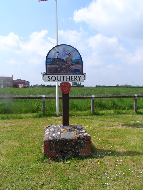
///contour.refer.plotting. Near Southery, Norfolk
Related Wikis

Modeney Priory
Modeney Priory—also spelled Modney and Modeny—was a Benedictine priory in the civil parish of Hilgay, Norfolk, England. Located less than a mile east of...

Hilgay
Hilgay is a village and civil parish in Norfolk, England, 4 miles (6.4 km) from Downham Market. It covers an area of 33.38 km2 (12.89 sq mi) and had a...

Southery
Southery is a village and civil parish in Norfolk, England, which covers an area of 18.12 km2 (7.00 sq mi) and had a population of 1,324 at the 2011 Census...

1974 Norfolk mid-air collision
The 1974 Norfolk mid-air collision happened on 9 August 1974 at Fordham Fen, Norfolk, England when a Royal Air Force McDonnell-Douglas F-4M Phantom FGR...

Hilgay Heronry
Hilgay Heronry is a 1.8-hectare (4.4-acre) biological Site of Special Scientific Interest south of Downham Market in Norfolk.This small wood has a nationally...

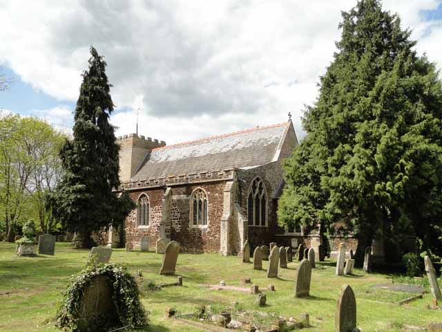
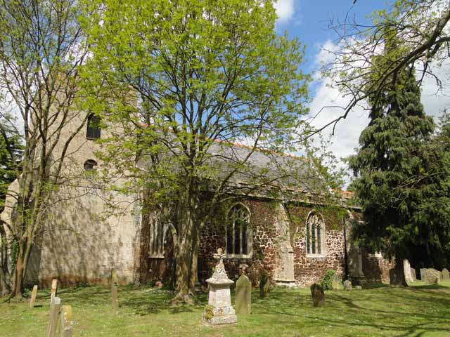
St Mary's Church, Fordham
St Mary's Church is located to the south of the village of Fordham, Norfolk, England. It is a redundant Anglican parish church in the care of the Friends...
Fordham, Norfolk
Fordham is a small village and civil parish in the English county of Norfolk. The village is located 2.2 miles (3.5 km) north of Downham Market and 39...
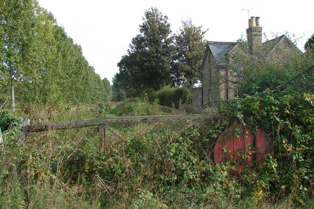
Ryston railway station
Ryston railway station was a railway station serving Fordham, Norfolk. It was on a branch line from Denver. == History == The Downham and Stoke Ferry Railway...
Nearby Amenities
Located within 500m of 52.544427,0.38948989Have you been to Tansy Plantation?
Leave your review of Tansy Plantation below (or comments, questions and feedback).