Hatchet Plantation

Wood, Forest in Norfolk King's Lynn and West Norfolk

England

Hatchet Plantation

St. German's railway station (site), Norfolk Opened in 1846 by the Lynn & Ely Railway, later part of the Great Eastern Railway, this short lived station closed in 1851.
View south towards Watlington and Ely from Mill Road Level Crossing. There were probably 2 parallel wooden platforms here. No trace of the station apparently survives. The track was singled in 1984 and the trees are a relatively recent addition.
Later, a platform with cattle pens was opened behind the camera position and for many years the location was known as St. German's Sidings.
St. German's railway station (site), Norfolk Credit: Nigel Thompson

Hatchet Plantation is a picturesque woodland located in Norfolk, England. Situated in the heart of the county, this sprawling forest covers an area of approximately 500 acres and is known for its natural beauty and diverse ecosystem. The plantation is named after the nearby village of Hatchet, which adds to its historical significance.

The woodland is characterized by a mix of ancient trees, including oak, beech, and birch, which create a lush and vibrant canopy. The forest floor is adorned with an array of wildflowers, ferns, and mosses, adding to the enchanting atmosphere. Hatchet Plantation is also home to a variety of wildlife, including deer, badgers, foxes, and a plethora of bird species, making it a popular spot for nature enthusiasts and birdwatchers.

Numerous walking trails crisscross the plantation, allowing visitors to explore and immerse themselves in the tranquility of the surroundings. The trails range from easy strolls to more challenging hikes, catering to all levels of fitness and interest. Along these paths, visitors can discover hidden ponds, babbling brooks, and ancient ruins, providing a glimpse into the rich history of the area.

Hatchet Plantation also offers recreational activities such as picnicking, camping, and nature photography. The peaceful ambiance and idyllic setting make it an ideal location for families, couples, and individuals seeking a break from the hustle and bustle of daily life.

Overall, Hatchet Plantation is a haven of natural beauty, offering a serene escape for those seeking solace in the embrace of nature.

If you have any feedback on the listing, please let us know in the comments section below.

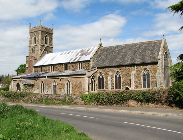
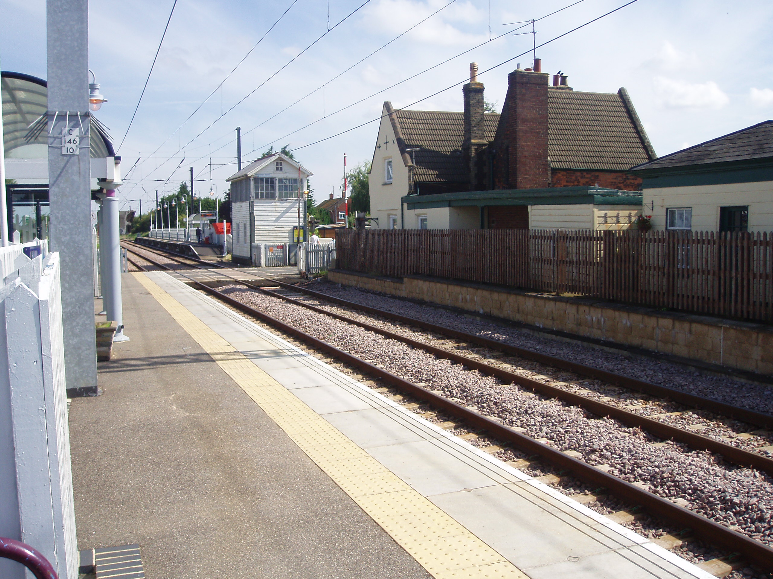
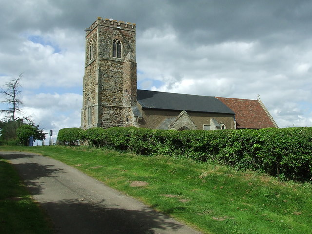
Hatchet Plantation Images

Images are sourced within 2km of 52.686951/0.39730995 or Grid Reference TF6212. Thanks to Geograph Open Source API. All images are credited.

St. German's railway station (site), Norfolk Opened in 1846 by the Lynn & Ely Railway, later part of the Great Eastern Railway, this short lived station closed in 1851.
View south towards Watlington and Ely from Mill Road Level Crossing. There were probably 2 parallel wooden platforms here. No trace of the station apparently survives. The track was singled in 1984 and the trees are a relatively recent addition.
Later, a platform with cattle pens was opened behind the camera position and for many years the location was known as St. German's Sidings.
St. German's railway station (site), Norfolk
Opened in 1846 by the Lynn & Ely Railway, later part of the Great Eastern Railway, this short lived station closed in 1851. View south towards Watlington and Ely from Mill Road Level Crossing. There were probably 2 parallel wooden platforms here. No trace of the station apparently survives. The track was singled in 1984 and the trees are a relatively recent addition. Later, a platform with cattle pens was opened behind the camera position and for many years the location was known as St. German's Sidings.
At Watlington Station The 12:51 for London King's Cross has just arrived.
At Watlington Station
The 12:51 for London King's Cross has just arrived.
A Heavenly crown The carving on this old stone shows a crown with two cherubs, or winged souls, with carved designs on each side. The crown was used to represent the hammermen’s trade, commonly a blacksmith, but it could be a Heavenly crown.
A Heavenly crown
The carving on this old stone shows a crown with two cherubs, or winged souls, with carved designs on each side. The crown was used to represent the hammermen’s trade, commonly a blacksmith, but it could be a Heavenly crown.
A little cherub at Watlington A gentleman who was cutting some grass in Watlington churchyard gave me a very helpful copy of the record of monumental inscriptions that had been compiled by a church member in 1998. The book refers to cherubs carved on some old stones. I wondered if they might be winged souls, which represent the rise of the deceased to Heaven. This stone shows a very fine example.
A little cherub at Watlington
A gentleman who was cutting some grass in Watlington churchyard gave me a very helpful copy of the record of monumental inscriptions that had been compiled by a church member in 1998. The book refers to cherubs carved on some old stones. I wondered if they might be winged souls, which represent the rise of the deceased to Heaven. This stone shows a very fine example.
A sad story in Watlington graveyard The Broadbent family grave at Watlington tells a sad story. The two little children died only 17 days apart at a time when disease commonly spread easily in all communities. The inscription reads:
In Memory of
WILLIAM Son Of JOSEPH
And ELIZABETH BROADBENT
Who died 14th October 1848
Aged 2 Years
Also MARY Daughter
Of The Above
Who Died
31st October 1848
Aged 6 months
These Lovely Buds So Young So Fair
Called Hence By Early Doom
Just Came To Show How Sweet Such
Flowers In Paradise Would Bloom
A sad story in Watlington graveyard
The Broadbent family grave at Watlington tells a sad story. The two little children died only 17 days apart at a time when disease commonly spread easily in all communities. The inscription reads: In Memory of WILLIAM Son Of JOSEPH And ELIZABETH BROADBENT Who died 14th October 1848 Aged 2 Years Also MARY Daughter Of The Above Who Died 31st October 1848 Aged 6 months These Lovely Buds So Young So Fair Called Hence By Early Doom Just Came To Show How Sweet Such Flowers In Paradise Would Bloom
Church of St. Peter & St. Paul, Watlington A gentleman who was cutting some grass explained that most of the graveyard was being left uncut in the interests of wildlife. He gave me a very helpful copy of the record of monumental inscriptions that had been compiled by a church member in 1998.
Church of St. Peter & St. Paul, Watlington
A gentleman who was cutting some grass explained that most of the graveyard was being left uncut in the interests of wildlife. He gave me a very helpful copy of the record of monumental inscriptions that had been compiled by a church member in 1998.
Direction Sign - Signpost in Watlington Located on the southwest side of the junction of School Road, Church Road and Downham Road in Watlington parish. 4 arms and annulus finial. Makers name Stanton on pillar.

Milestone Society National ID: NO_TF6111
Direction Sign - Signpost in Watlington
Located on the southwest side of the junction of School Road, Church Road and Downham Road in Watlington parish. 4 arms and annulus finial. Makers name Stanton on pillar. Milestone Society National ID: NO_TF6111
Remains of Church of St Peter View from the Ouse Valley Way
Remains of Church of St Peter
View from the Ouse Valley Way
Ouse Valley Way Approaching Tiger Gardens
Ouse Valley Way
Approaching Tiger Gardens
Gypsy Lane South of Station Road
Gypsy Lane
South of Station Road
Railway Signal Box and Level Crossing The railway station has platforms staggered across Station Road
Railway Signal Box and Level Crossing
The railway station has platforms staggered across Station Road
Church of St Peter & St Paul On Church Road on the edge of the village
Church of St Peter & St Paul
On Church Road on the edge of the village
Watlington Road past Tottenhill Gravel Pits
Watlington Village Hall
New gravel pit by Watlington Road
At the end of the footpath, Watlington
Wiggenhall St Peter The cottages seen here stand opposite the ruined church.
Wiggenhall St Peter
The cottages seen here stand opposite the ruined church.
View towards Bridge House, Setchey This fine house is situated beside Setchey Bridge which takes the A10 road over the River Nar.
View towards Bridge House, Setchey
This fine house is situated beside Setchey Bridge which takes the A10 road over the River Nar.
Show me another place!

Hatchet Plantation is located at Grid Ref: TF6212 (Lat: 52.686951, Lng: 0.39730995)

Administrative County: Norfolk

District: King's Lynn and West Norfolk

Police Authority: Norfolk

What 3 Words

///warblers.cubed.transmitted. Near King's Lynn, Norfolk

Related Wikis

Setchey SSSI

Setchey SSSI is a 33.4-hectare (83-acre) geological Site of Special Scientific Interest south of King's Lynn in Norfolk. It is a Geological Conservation...

St Germain's railway station

St. Germain's railway station was located on the line between Kings Lynn and Watlington. It served the parish of Wiggenhall St. Germans, and closed in...

Watlington, Norfolk

Watlington is a village, civil parish and electoral ward in the English county of Norfolk. It covers an area of 6.93 km2 (2.68 sq mi) and had a population...

Watlington railway station

Watlington railway station (formerly known as Magdalen Road) is on the Fen line in the east of England, serving the village of Watlington, Norfolk. It...

Tottenhill

Tottenhill is a civil parish in the English county of Norfolk. It covers an area of 5.90 km2 (2.28 sq mi) and had a population of 231 in 97 households...

Wiggenhall St Mary Magdalen

Wiggenhall St Mary Magdalen is a civil parish and village in the English county of Norfolk. It is 6 miles (9.7 km) south of the town of King's Lynn on...

Wiggenhall St Germans

Wiggenhall St Germans is a village and civil parish in the English county of Norfolk in the East of England. It is 85 miles (137 km) north of London and...

West Winch

West Winch is a village and civil parish in the English county of Norfolk. It covers an area of 8.02 km2 (3.10 sq mi) and had a population of 2,596 in...

Nearby Amenities

Located within 500m of 52.686951,0.39730995
Power: pole
Lat/Long: 52.6895463/0.3949175
Power: pole
Lat/Long: 52.6910079/0.395261
Power: pole
Lat/Long: 52.6834655/0.3934344
Power: pole
Lat/Long: 52.6881956/0.3945906
Power: pole
Lat/Long: 52.6866459/0.3942069
Power: pole
Lat/Long: 52.6849858/0.3938046
Power: pole
Lat/Long: 52.6845092/0.3963493
Power: pole
Lat/Long: 52.6847595/0.3950588
The data included in this document is from www.openstreetmap.org. The data is made available under ODbL.

Have you been to Hatchet Plantation?

Leave your review of Hatchet Plantation below (or comments, questions and feedback).