Davidson's Plantation
Wood, Forest in Norfolk King's Lynn and West Norfolk
England
Davidson's Plantation

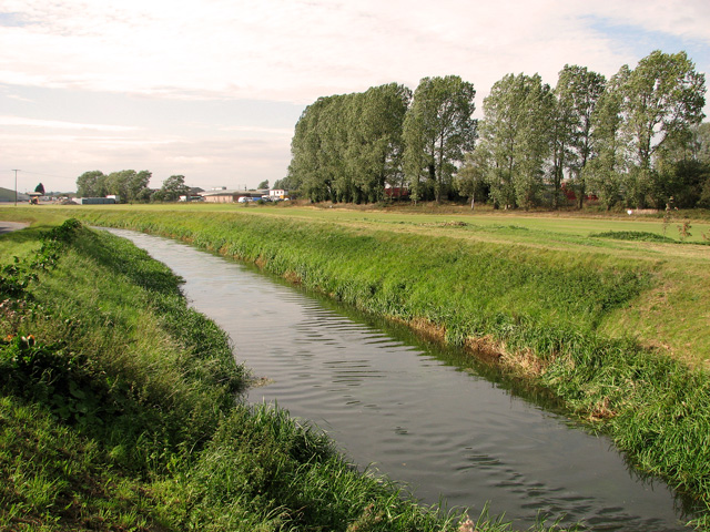
Davidson's Plantation, located in Norfolk, is a lush woodland area known for its abundant flora and serene atmosphere. The plantation spans over a vast area, encompassing a diverse range of tree species, making it a haven for nature enthusiasts and botanists alike.
The woodland is primarily composed of tall, majestic oak and beech trees, which provide a dense canopy, creating a cool and shaded environment. The forest floor is covered with a thick carpet of moss, ferns, and wildflowers, adding to the enchanting beauty of the plantation. In addition to oaks and beeches, various other tree species such as birch, ash, and maple can be found scattered throughout the woodland.
Davidson's Plantation is home to a variety of wildlife, making it a popular destination for birdwatchers and animal lovers. Visitors might catch glimpses of red deer, foxes, rabbits, and various bird species, including woodpeckers, thrushes, and owls. The plantation's diverse ecosystem also supports a wide range of insects, including butterflies and beetles.
The woodland is well-maintained, with clearly marked trails that allow visitors to explore the area while preserving the natural habitat. The plantation is open to the public and offers a peaceful retreat from the hustle and bustle of city life. Tourists can enjoy leisurely walks, picnics, and photography sessions amidst the tranquil surroundings.
Overall, Davidson's Plantation in Norfolk is a captivating woodland that showcases the natural beauty and biodiversity of the region. It provides a serene escape for nature lovers and offers a glimpse into the rich flora and fauna that thrive in this part of the country.
If you have any feedback on the listing, please let us know in the comments section below.
Davidson's Plantation Images
Images are sourced within 2km of 52.681379/0.40027446 or Grid Reference TF6212. Thanks to Geograph Open Source API. All images are credited.


Davidson's Plantation is located at Grid Ref: TF6212 (Lat: 52.681379, Lng: 0.40027446)
Administrative County: Norfolk
District: King's Lynn and West Norfolk
Police Authority: Norfolk
What 3 Words
///uppermost.fastening.snowboard. Near King's Lynn, Norfolk
Nearby Locations
Related Wikis
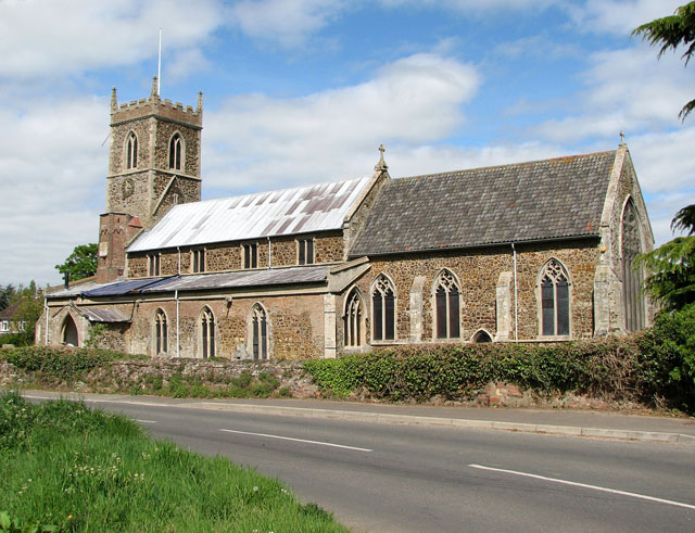
Watlington, Norfolk
Watlington is a village, civil parish and electoral ward in the English county of Norfolk. It covers an area of 6.93 km2 (2.68 sq mi) and had a population...

Setchey SSSI
Setchey SSSI is a 33.4-hectare (83-acre) geological Site of Special Scientific Interest south of King's Lynn in Norfolk. It is a Geological Conservation...
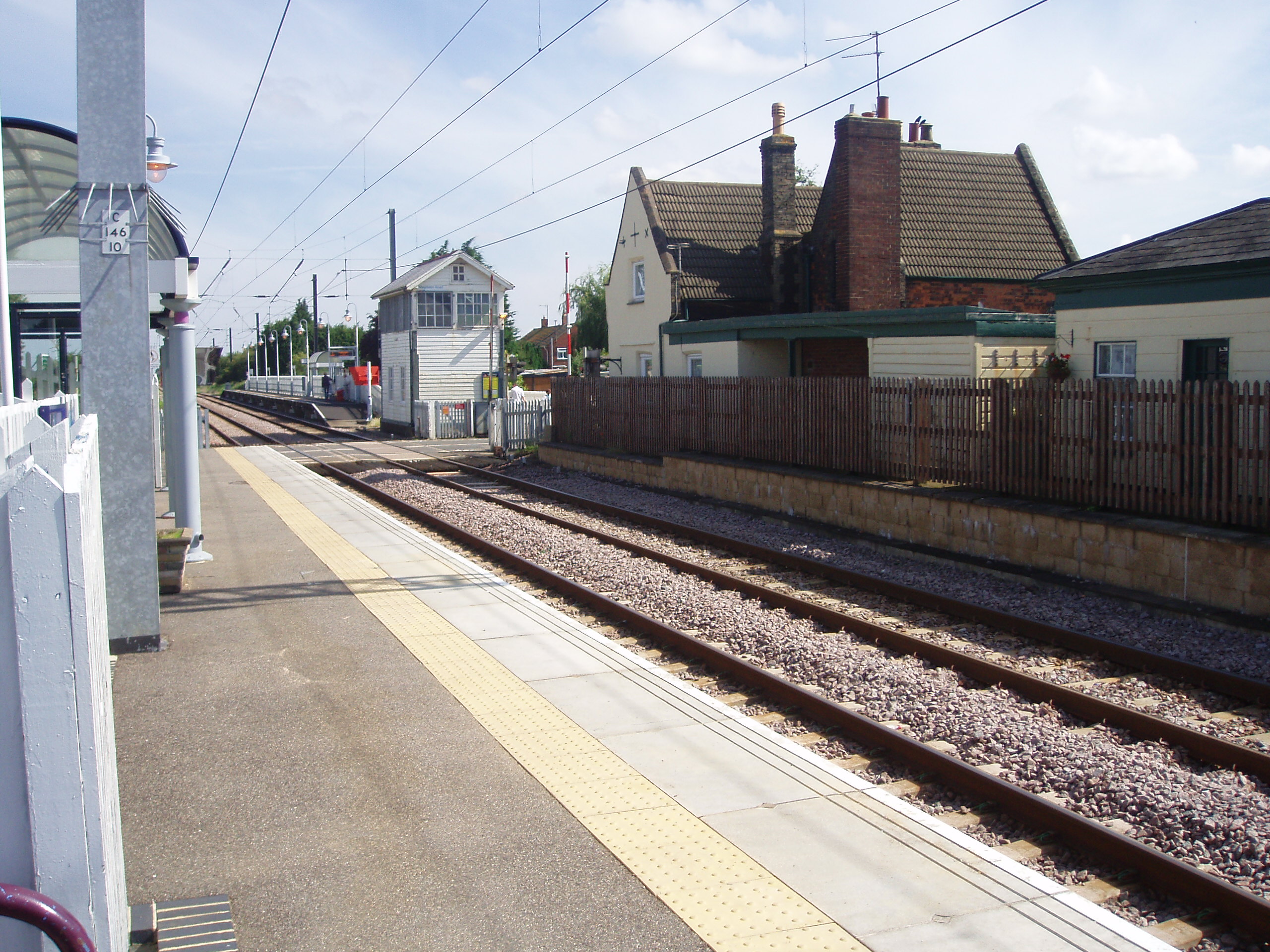
Watlington railway station
Watlington railway station (formerly known as Magdalen Road) is on the Fen line in the east of England, serving the village of Watlington, Norfolk. It...

St Germain's railway station
St. Germain's railway station was located on the line between Kings Lynn and Watlington. It served the parish of Wiggenhall St. Germans, and closed in...
Nearby Amenities
Located within 500m of 52.681379,0.40027446Have you been to Davidson's Plantation?
Leave your review of Davidson's Plantation below (or comments, questions and feedback).