Eldridge Shaw
Wood, Forest in Kent Sevenoaks
England
Eldridge Shaw
Eldridge Shaw is a small village located in the county of Kent, England. Part of the civil parish of Wood, Forest, this charming village is nestled amidst the beautiful countryside of the region. With a population of around 500 residents, Eldridge Shaw offers a peaceful and idyllic retreat from the hustle and bustle of city life.
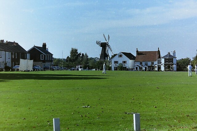
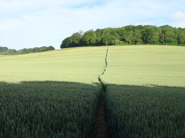
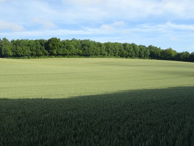
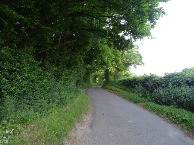
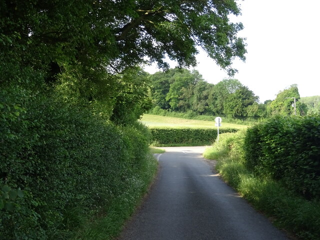
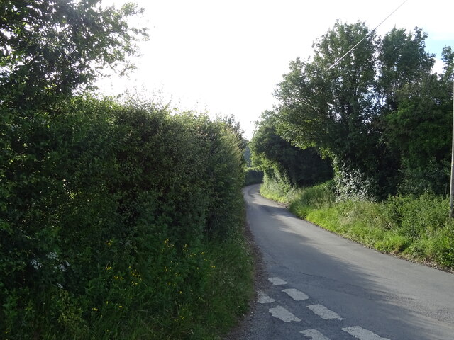
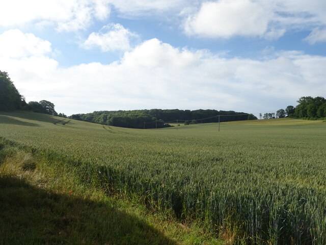
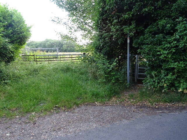
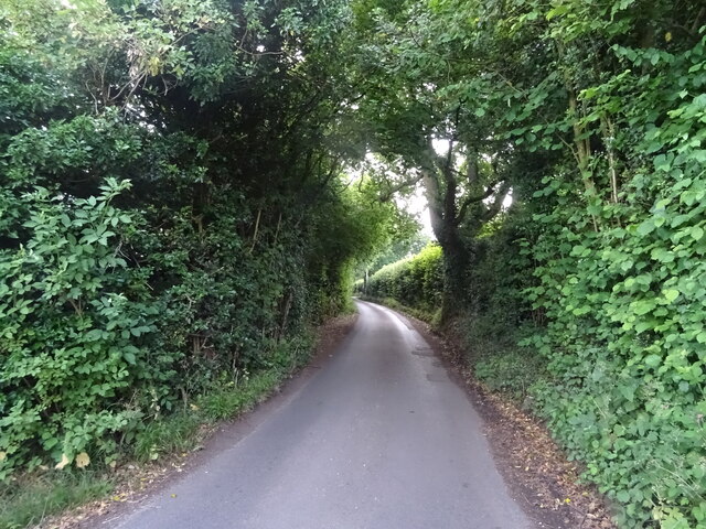
The village is known for its picturesque landscapes, with rolling hills, lush green fields, and dense woodlands surrounding the area. It is a haven for nature lovers, providing ample opportunities for hiking, cycling, and exploring the great outdoors. The nearby Eldridge Shaw Forest is particularly popular among locals and tourists alike, offering a tranquil escape and a chance to spot various wildlife species.
Despite its small size, Eldridge Shaw has a close-knit community that takes pride in preserving its heritage and traditions. The village features several historic buildings, including a charming church dating back to the 12th century. The church serves as a focal point for social gatherings and community events throughout the year.
In terms of amenities, Eldridge Shaw boasts a village hall that hosts various activities and gatherings, as well as a local pub where residents and visitors can enjoy a pint and a hearty meal. For everyday necessities, the neighboring towns of Wood and Forest provide a range of shops, supermarkets, and other services.
Overall, Eldridge Shaw is a hidden gem in the heart of the Kent countryside, offering a peaceful and scenic retreat for those seeking a break from the urban chaos.
If you have any feedback on the listing, please let us know in the comments section below.
Eldridge Shaw Images
Images are sourced within 2km of 51.358642/0.33450976 or Grid Reference TQ6264. Thanks to Geograph Open Source API. All images are credited.


Eldridge Shaw is located at Grid Ref: TQ6264 (Lat: 51.358642, Lng: 0.33450976)
Administrative County: Kent
District: Sevenoaks
Police Authority: Kent
What 3 Words
///nail.fresh.lively. Near Meopham, Kent
Nearby Locations
Related Wikis

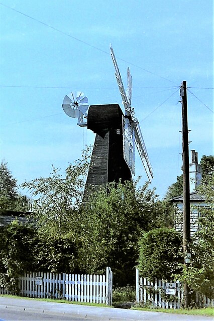
Killick's Mill, Meopham
Killick's Mill is a Grade II* listed smock mill in Meopham, Kent, England that was built in 1801 and which has been restored. == History == Killick's...

Ridley, Kent
Ridley is a place and former civil parish, now in the parish of Ash-cum-Ridley, in the Sevenoaks district, in the county of Kent, England. It lies between...

Meopham air disaster
The Meopham Air Disaster occurred on 21 July 1930 when a Junkers F.13ge flying from Le Touquet to Croydon with two crew and four passengers crashed near...

Meopham
Meopham is a large linear village and civil parish in the Borough of Gravesham in north-west Kent, England, lying to the south of Gravesend. The parish...

Meopham School
Meopham School is a Coeducational secondary school with approximately 950 students, located in Meopham, Kent, England, UK. The school is non-selective...
Ash-cum-Ridley
Ash-cum-Ridley is a civil parish in the Sevenoaks district of Kent, England. According to the 2001 census the parish had a population of 7,070, reducing...

New Ash Green
New Ash Green is a village in the Sevenoaks District of Kent, England. It is located 8 miles south west of Gravesend. == History == Building of the village...
Ash, Sevenoaks District
Ash is a small village and former civil parish located in the Sevenoaks district in Kent. It shares the parish of Ash-cum-Ridley with the nearby village...
Nearby Amenities
Located within 500m of 51.358642,0.33450976Have you been to Eldridge Shaw?
Leave your review of Eldridge Shaw below (or comments, questions and feedback).