Ashplat Wood
Wood, Forest in Kent Sevenoaks
England
Ashplat Wood
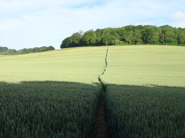
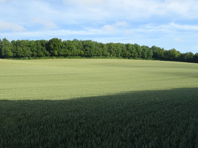
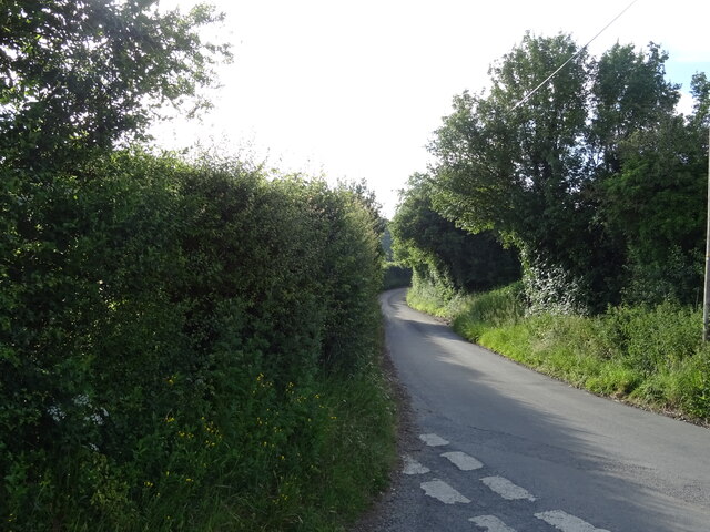
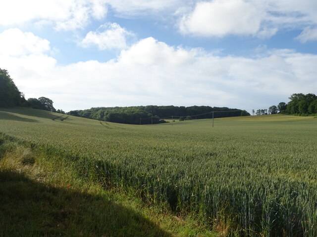
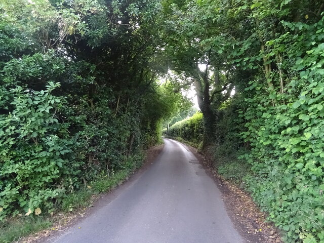
Ashplat Wood is a small woodland area located in the county of Kent, England. Situated near the village of Ashplat, the wood covers an area of approximately 20 acres. It is part of a larger forested area known as Ashplat Forest.
The wood primarily consists of ash trees, which give it its name, but it also includes a variety of other tree species such as oak, birch, and beech. The dense canopy provided by these trees creates a cool and shaded environment, making it a popular destination for nature enthusiasts and walkers.
The forest floor is covered in a thick layer of leaf litter and moss, providing a rich habitat for a diverse range of flora and fauna. Bluebells, wood sorrel, and primroses are just a few examples of the wildflowers that bloom in the wood during the spring and summer months. The wood is also home to various species of birds, including great tits, bullfinches, and woodpeckers.
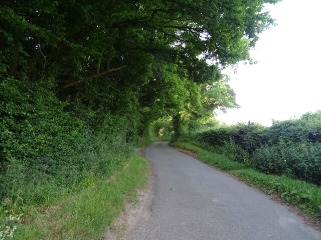
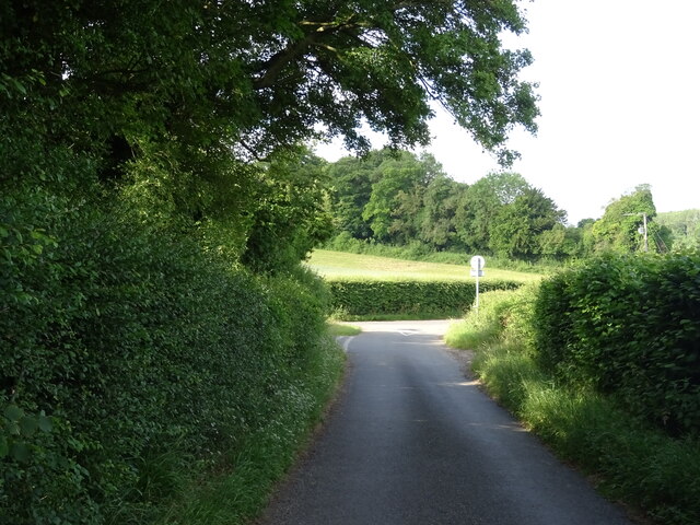
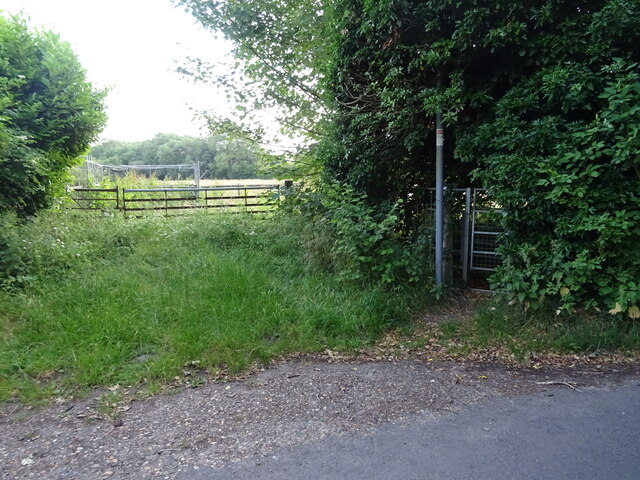
Ashplat Wood is crisscrossed by a network of footpaths and trails, allowing visitors to explore its natural beauty. These paths lead to picturesque viewpoints, hidden clearings, and a small stream that runs through the wood. The tranquil atmosphere, combined with the abundance of wildlife, makes it an ideal spot for birdwatching and wildlife photography.
The wood is well-maintained by the local authorities and is open to the public throughout the year. It is a designated site of importance for nature conservation, ensuring its protection and preservation for future generations to enjoy.
If you have any feedback on the listing, please let us know in the comments section below.
Ashplat Wood Images
Images are sourced within 2km of 51.35736/0.33741796 or Grid Reference TQ6264. Thanks to Geograph Open Source API. All images are credited.


Ashplat Wood is located at Grid Ref: TQ6264 (Lat: 51.35736, Lng: 0.33741796)
Administrative County: Kent
District: Sevenoaks
Police Authority: Kent
What 3 Words
///notion.chew.hammer. Near Meopham, Kent
Nearby Locations
Related Wikis

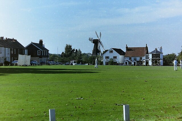
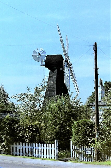
Killick's Mill, Meopham
Killick's Mill is a Grade II* listed smock mill in Meopham, Kent, England that was built in 1801 and which has been restored. == History == Killick's...

Meopham air disaster
The Meopham Air Disaster occurred on 21 July 1930 when a Junkers F.13ge flying from Le Touquet to Croydon with two crew and four passengers crashed near...

Ridley, Kent
Ridley is a place and former civil parish, now in the parish of Ash-cum-Ridley, in the Sevenoaks district, in the county of Kent, England. It lies between...

Meopham
Meopham is a large linear village and civil parish in the Borough of Gravesham in north-west Kent, England, lying to the south of Gravesend. The parish...

Meopham School
Meopham School is a Coeducational secondary school with approximately 950 students, located in Meopham, Kent, England, UK. The school is non-selective...
Harvel
Harvel is a village in the civil parish of Meopham in the west of the county of Kent, England. It is sited on the southern edge of the North Downs. The...
Ash-cum-Ridley
Ash-cum-Ridley is a civil parish in the Sevenoaks district of Kent, England. According to the 2001 census the parish had a population of 7,070, reducing...

New Ash Green
New Ash Green is a village in the Sevenoaks District of Kent, England. It is located 8 miles south west of Gravesend. == History == Building of the village...
Nearby Amenities
Located within 500m of 51.35736,0.33741796Have you been to Ashplat Wood?
Leave your review of Ashplat Wood below (or comments, questions and feedback).