Alland Shaw
Wood, Forest in Sussex Wealden
England
Alland Shaw
Alland Shaw is a picturesque village located in the county of Sussex, England. Nestled amidst a dense woodland and surrounded by a lush forest, the village is known for its serene and natural beauty. With a population of approximately 500 residents, Alland Shaw offers a peaceful and close-knit community.
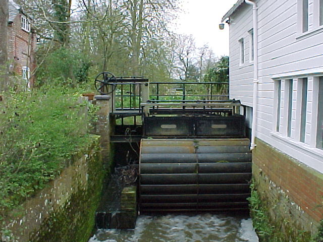
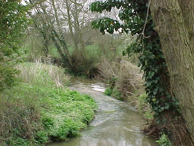
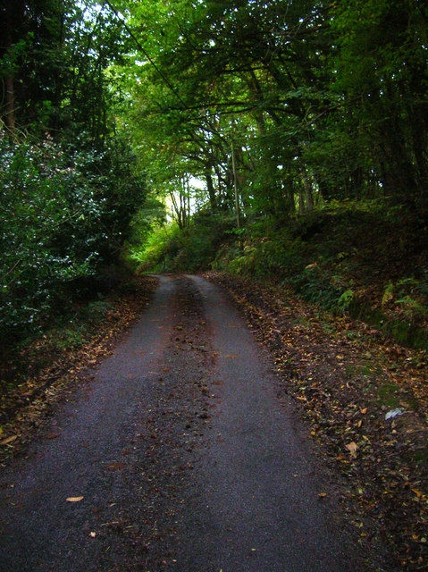
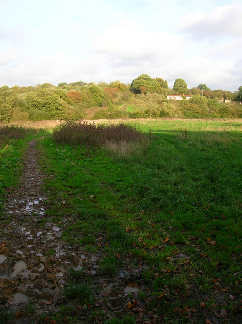
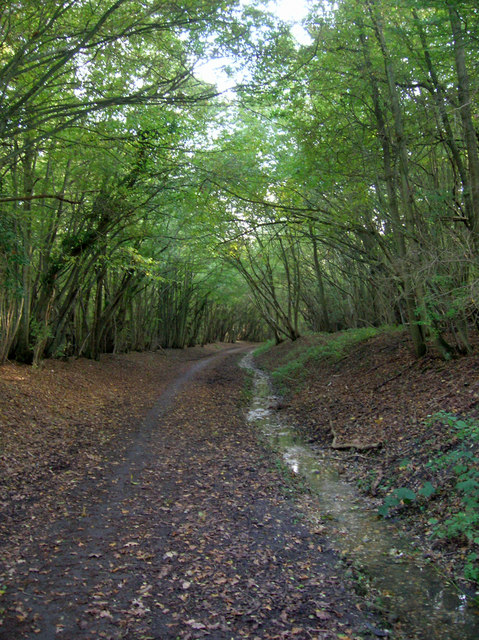
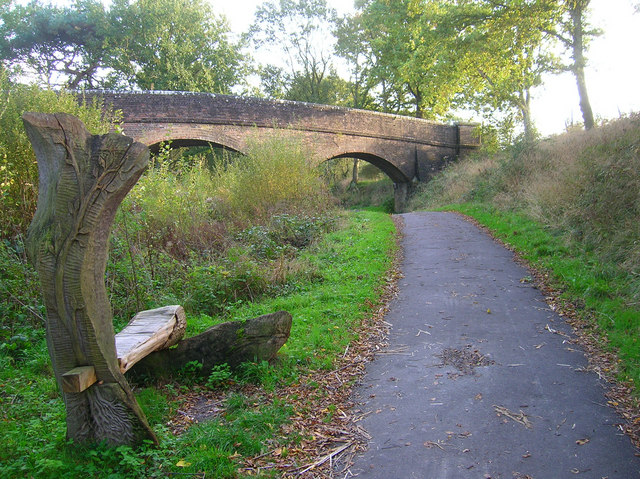
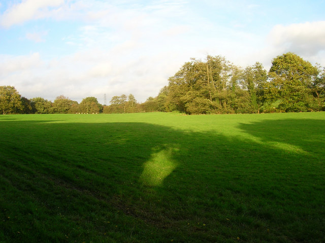
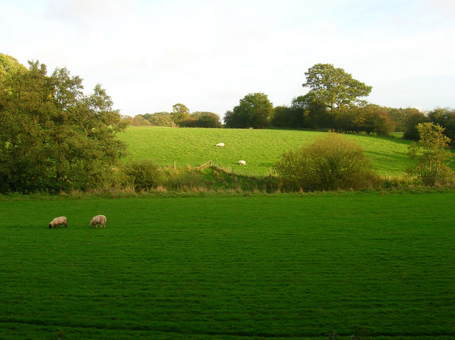
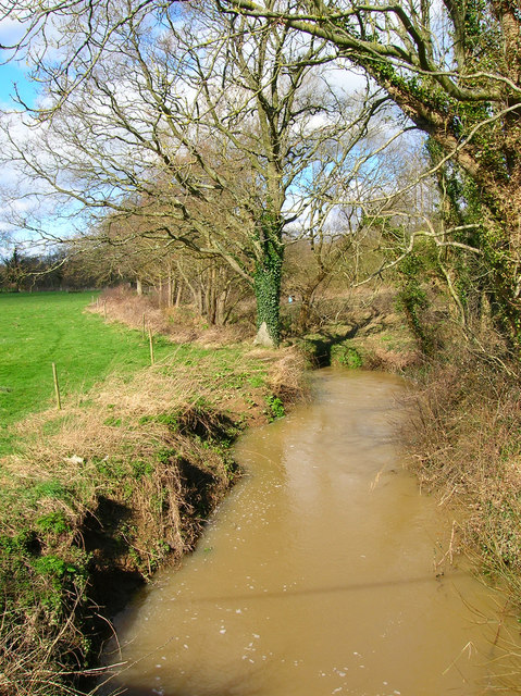
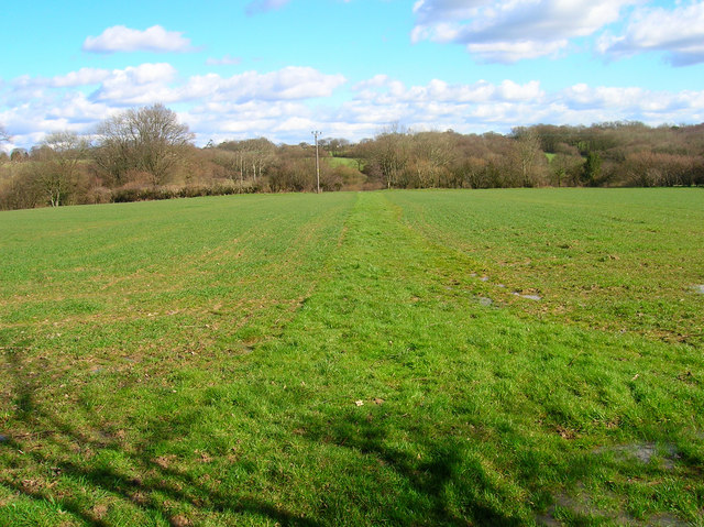
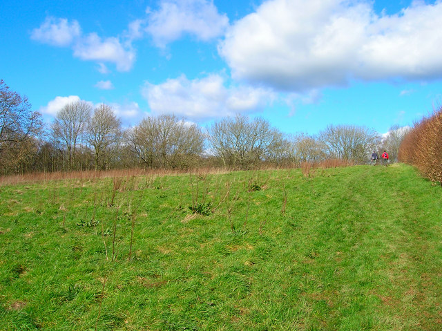
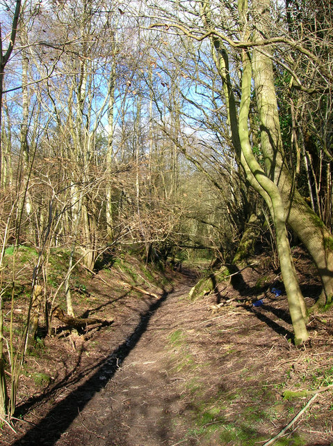
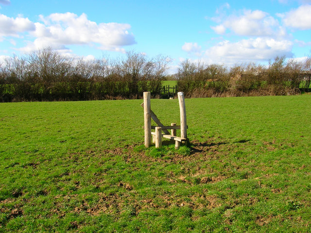
The village is renowned for its stunning woodlands, which attract nature enthusiasts and hikers from far and wide. The forest surrounding Alland Shaw is home to a diverse range of flora and fauna, including ancient oaks and beech trees, providing a tranquil setting for outdoor activities such as walking, cycling, and birdwatching. The nearby Shaw River also adds to the charm of the village, providing a scenic spot for picnics and leisurely walks along its banks.
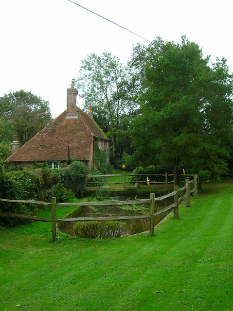
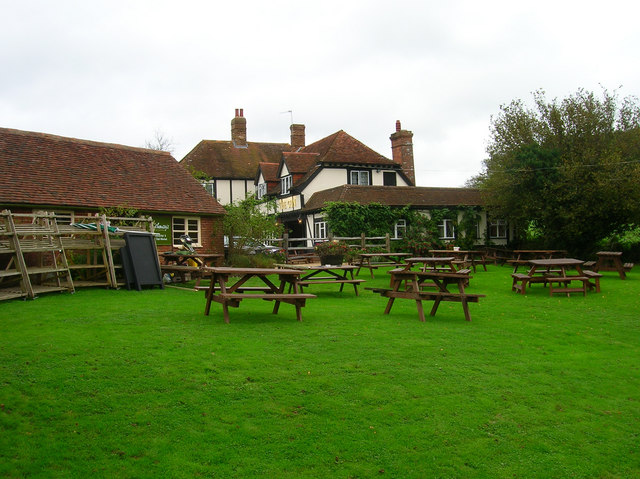
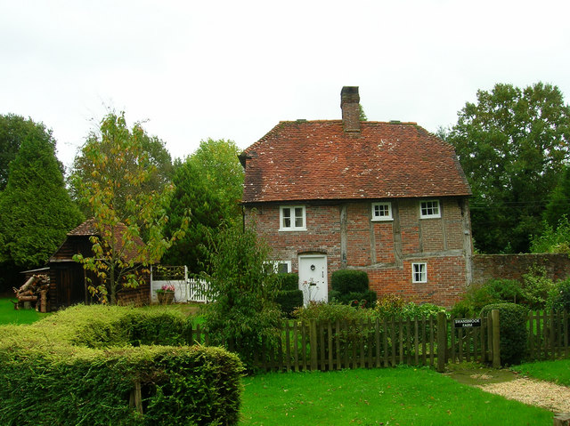
The village itself is characterized by traditional English architecture, with charming cottages and historic buildings lining its streets. The local community is vibrant and friendly, with various events and activities organized throughout the year, including a popular summer fair and Christmas market.
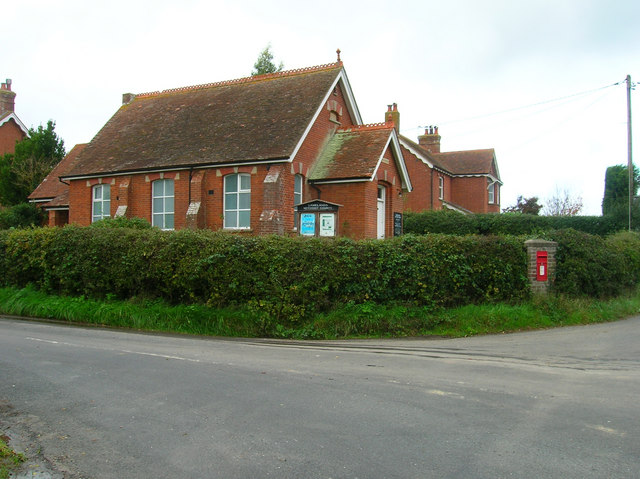
Alland Shaw benefits from a range of amenities for its residents, including a village hall, a local pub, and a primary school. The village is well-connected to the surrounding areas, with good transportation links and easy access to nearby towns and cities.
In conclusion, Alland Shaw, Sussex is a picturesque village tucked away in the heart of a stunning woodland and forest. With its natural beauty, close-knit community, and range of amenities, it offers a tranquil and idyllic setting for those seeking a peaceful countryside retreat.
If you have any feedback on the listing, please let us know in the comments section below.
Alland Shaw Images
Images are sourced within 2km of 50.903462/0.24014691 or Grid Reference TQ5713. Thanks to Geograph Open Source API. All images are credited.
Alland Shaw is located at Grid Ref: TQ5713 (Lat: 50.903462, Lng: 0.24014691)
Administrative County: East Sussex
District: Wealden
Police Authority: Sussex
What 3 Words
///prude.spindles.animates. Near Horam, East Sussex
Nearby Locations
Related Wikis

Gun Hill, East Sussex
Gun Hill is a hamlet in the civil parish of Chiddingly in the Wealden district of East Sussex, England. It is one of the seven hills of the parish in which...
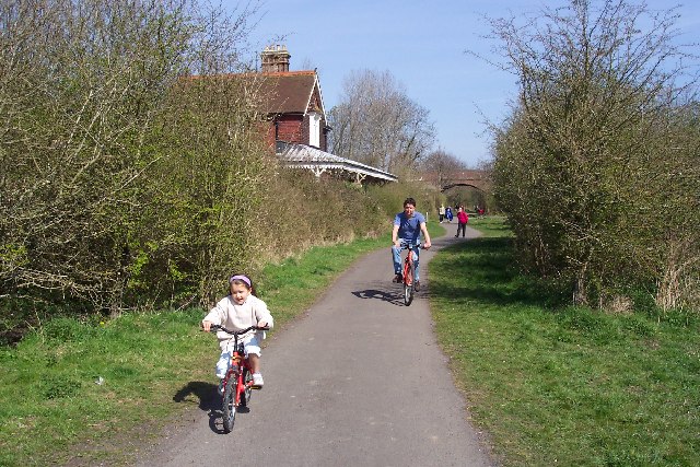
Cuckoo Trail
The Cuckoo Trail is a 14-mile (23 km) footpath and cycleway which runs from Hampden Park to Heathfield in East Sussex. It passes through the towns of Polegate...

Hellingly
Hellingly (pronounced 'Helling-lye') is a village, and can also refer to a civil parish, and to a district ward, in the Wealden District of East Sussex...

Horselunges Manor
Horselunges Manor is a 15th-century manor house in Hellingly, East Sussex, that was restored in the 20th century. The house was previously owned by Peter...

Hellingly railway station
Hellingly was a railway station on the now closed Polegate to Eridge line (the Cuckoo Line) in East Sussex. It served the village of Hellingly. ��2�...
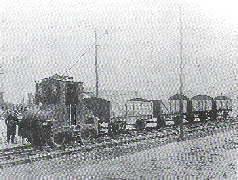
Hellingly Hospital Railway
The Hellingly Hospital Railway was a light railway owned and operated by East Sussex County Council, used for transporting coal and passengers to Hellingly...

Hellingly Hospital
Hellingly Hospital, formerly the East Sussex County Asylum, was a large psychiatric hospital close to the village of Hellingly, east of Hailsham, in the...

Zoar Strict Baptist Chapel
Zoar Strict Baptist Chapel is a Strict Baptist place of worship in the hamlet of Lower Dicker in the English county of East Sussex. Founded in 1837 and...
Nearby Amenities
Located within 500m of 50.903462,0.24014691Have you been to Alland Shaw?
Leave your review of Alland Shaw below (or comments, questions and feedback).