Well Shaw
Wood, Forest in Sussex Wealden
England
Well Shaw
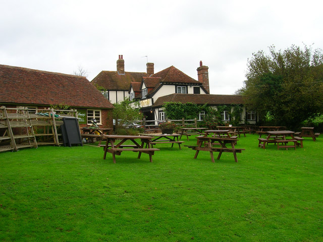
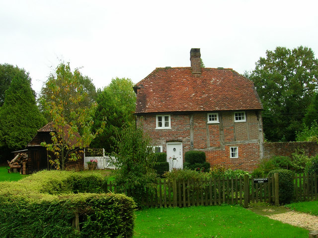
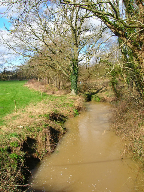
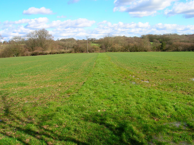
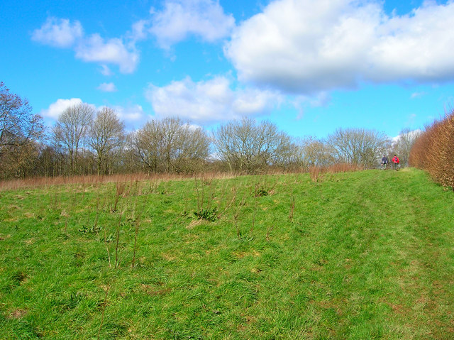
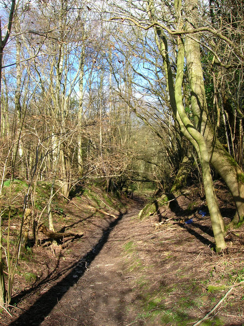
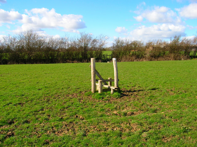
Well Shaw is a charming woodland area located in Sussex, England. Nestled within the heart of the county, it offers a tranquil escape from the bustling city life. Well Shaw is renowned for its dense forest, which stretches over several acres, creating a haven for nature lovers and outdoor enthusiasts.
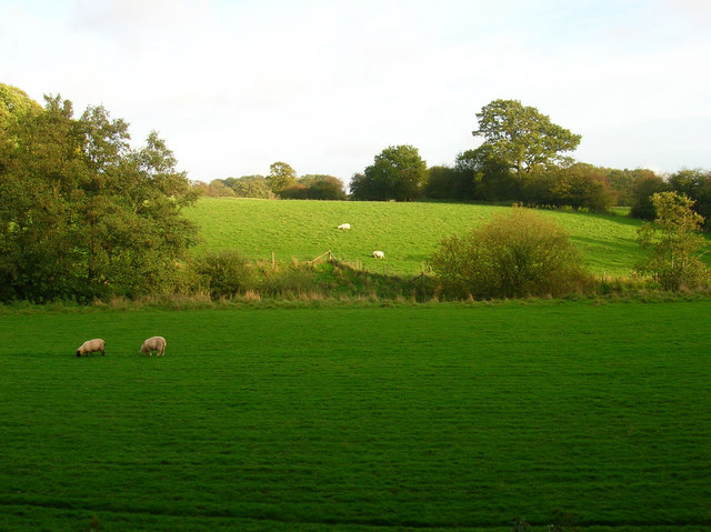
The woodland is characterized by a wide variety of trees, including oak, beech, and ash, which provide shelter and habitat for an array of wildlife. Visitors can expect to encounter deer, squirrels, and a rich diversity of bird species as they explore the area. Well Shaw is also home to a number of rare and endangered plant species, adding to its ecological significance.
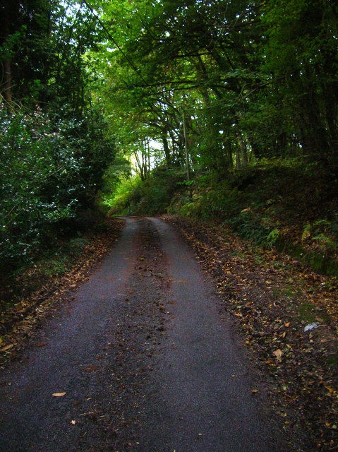
The forest is crisscrossed by numerous walking trails, allowing visitors to fully immerse themselves in the natural beauty of the surroundings. These paths wind through the ancient trees, offering glimpses of picturesque streams and serene ponds along the way. The enchanting atmosphere of Well Shaw makes it a popular spot for photography, painting, and other artistic pursuits.
In addition to its natural attractions, Well Shaw also boasts a small visitor center where visitors can learn more about the history and ecology of the area. The center provides educational displays and interactive exhibits, making it a great destination for families and school groups.
Overall, Well Shaw in Sussex is a hidden gem for nature enthusiasts, offering a peaceful retreat amidst the beauty of a thriving forest ecosystem.
If you have any feedback on the listing, please let us know in the comments section below.
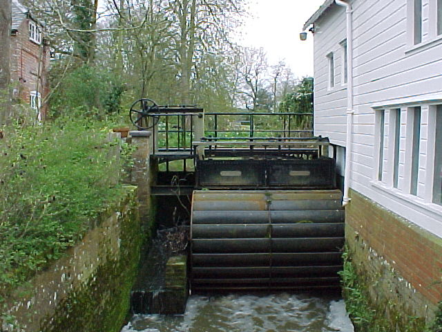
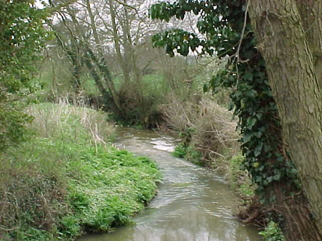
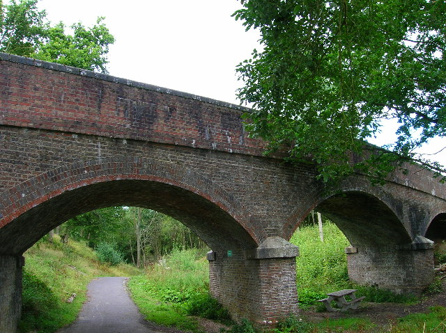
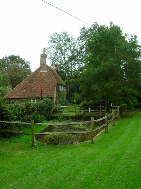
Well Shaw Images
Images are sourced within 2km of 50.895587/0.23481999 or Grid Reference TQ5713. Thanks to Geograph Open Source API. All images are credited.


Well Shaw is located at Grid Ref: TQ5713 (Lat: 50.895587, Lng: 0.23481999)
Administrative County: East Sussex
District: Wealden
Police Authority: Sussex
What 3 Words
///founding.gentlemen.desiring. Near Hailsham, East Sussex
Nearby Locations
Related Wikis

Hellingly
Hellingly (pronounced 'Helling-lye') is a village, and can also refer to a civil parish, and to a district ward, in the Wealden District of East Sussex...
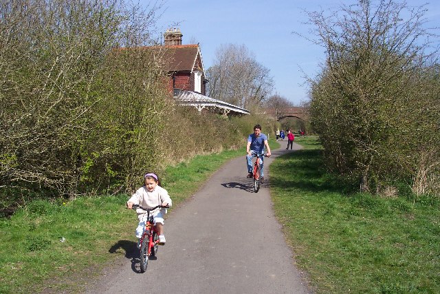
Cuckoo Trail
The Cuckoo Trail is a 14-mile (23 km) footpath and cycleway which runs from Hampden Park to Heathfield in East Sussex. It passes through the towns of Polegate...

Horselunges Manor
Horselunges Manor is a 15th-century manor house in Hellingly, East Sussex, that was restored in the 20th century. The house was previously owned by Peter...

Hellingly railway station
Hellingly was a railway station on the now closed Polegate to Eridge line (the Cuckoo Line) in East Sussex. It served the village of Hellingly. ��2�...

Gun Hill, East Sussex
Gun Hill is a hamlet in the civil parish of Chiddingly in the Wealden district of East Sussex, England. It is one of the seven hills of the parish in which...

Zoar Strict Baptist Chapel
Zoar Strict Baptist Chapel is a Strict Baptist place of worship in the hamlet of Lower Dicker in the English county of East Sussex. Founded in 1837 and...
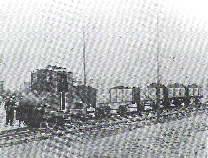
Hellingly Hospital Railway
The Hellingly Hospital Railway was a light railway owned and operated by East Sussex County Council, used for transporting coal and passengers to Hellingly...

Hellingly Hospital
Hellingly Hospital, formerly the East Sussex County Asylum, was a large psychiatric hospital close to the village of Hellingly, east of Hailsham, in the...
Nearby Amenities
Located within 500m of 50.895587,0.23481999Have you been to Well Shaw?
Leave your review of Well Shaw below (or comments, questions and feedback).