Jubilee Plantation

Wood, Forest in Cambridgeshire South Cambridgeshire

England

Jubilee Plantation

Distant Horizons. Looking NW from opposite the entrance to Yole Farm
Distant Horizons. Credit: mike

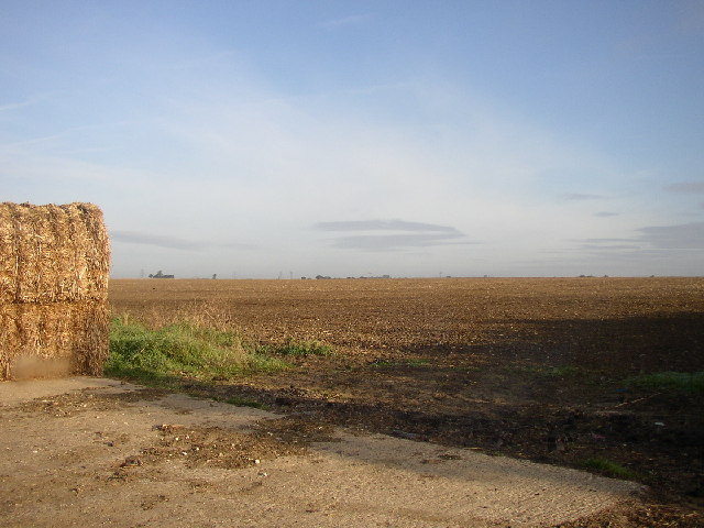
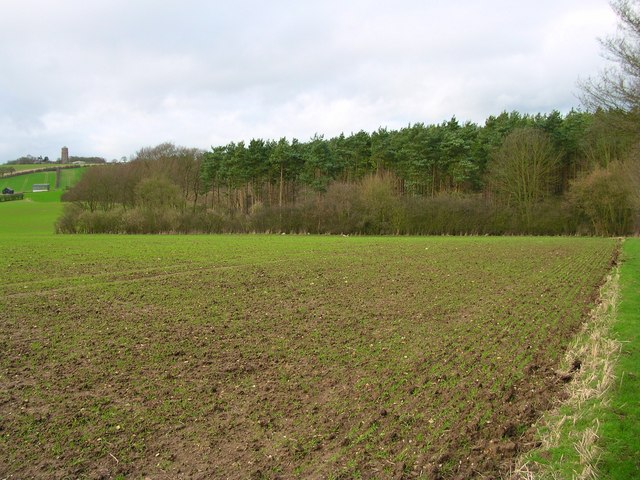
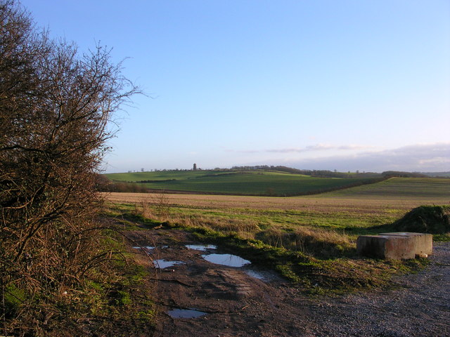
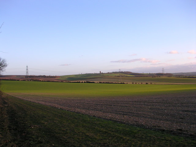
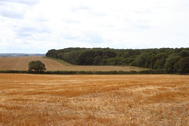
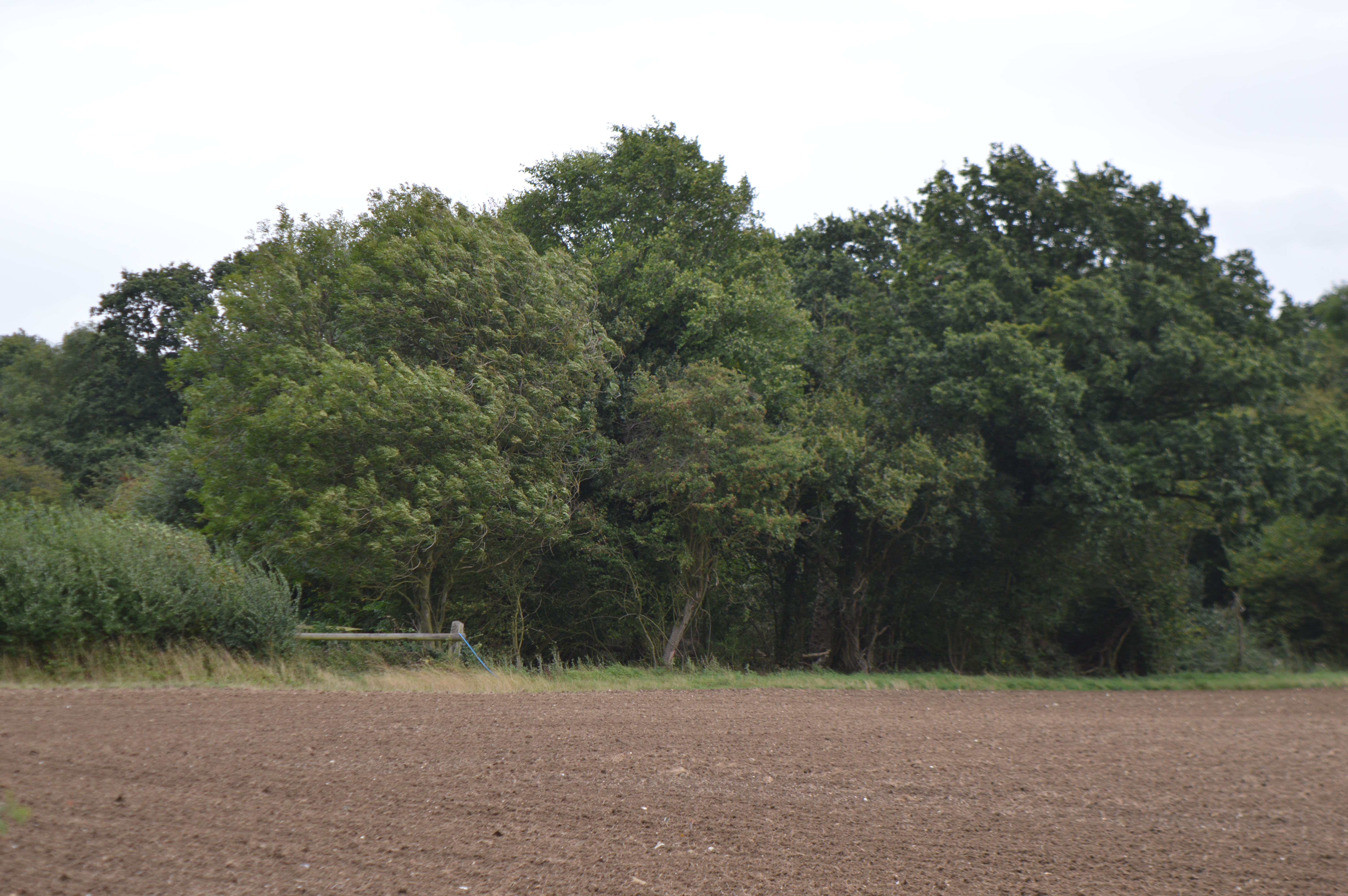
Jubilee Plantation is a picturesque woodland located in Cambridgeshire, England. Situated within the larger area of the Cambridgeshire Fens, this plantation covers an area of approximately 100 acres. It is a popular destination for locals and tourists alike, offering a tranquil escape from the bustling city life.

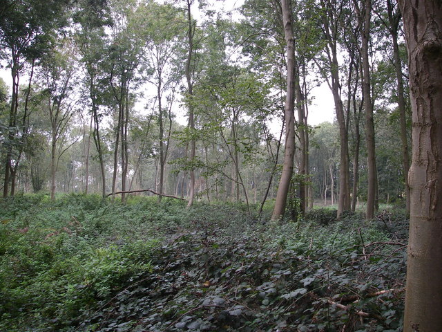
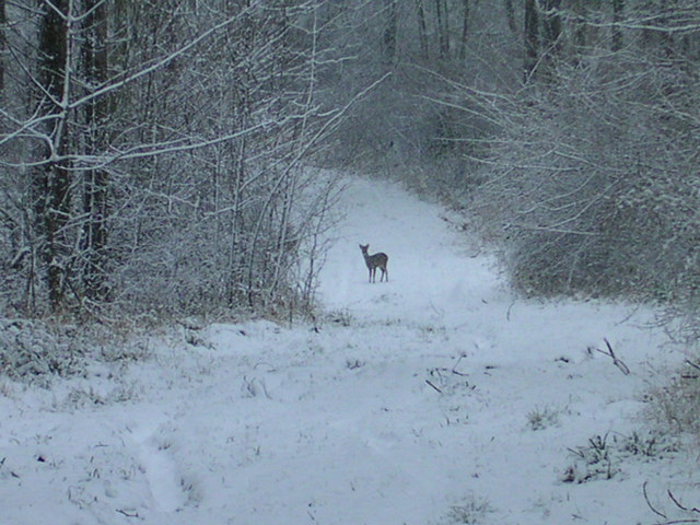
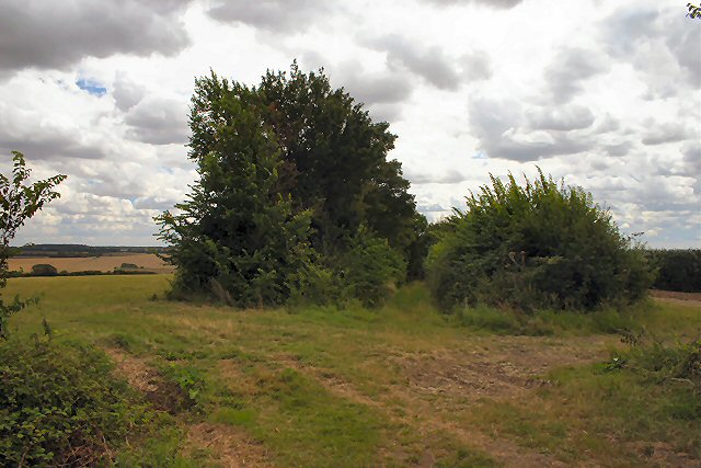
The woodland is characterized by a diverse range of tree species, including oak, birch, beech, and pine, creating a rich and varied ecosystem. The dense foliage provides a haven for a wide array of wildlife, making it a haven for nature enthusiasts and birdwatchers.

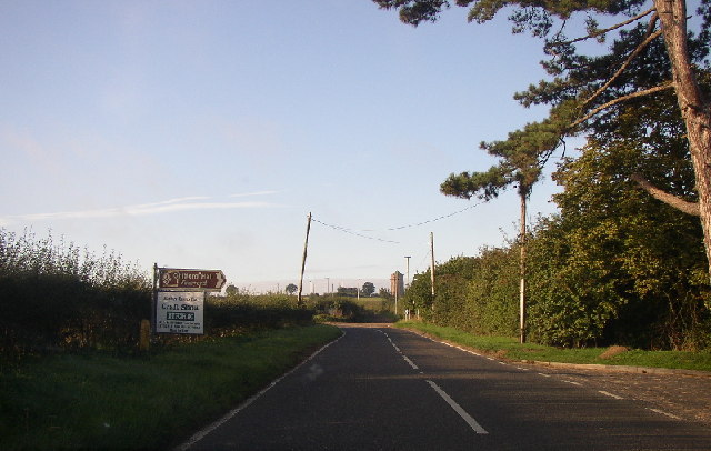
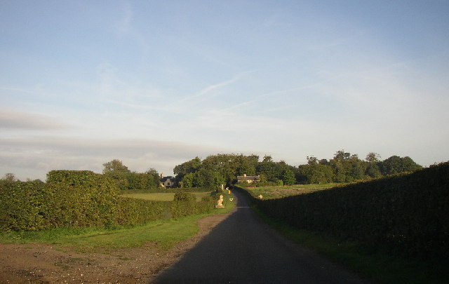
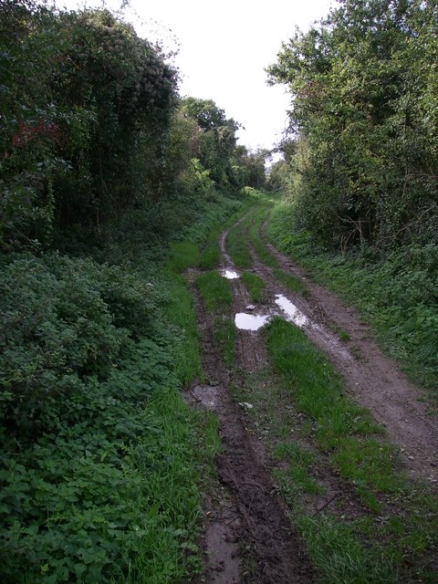
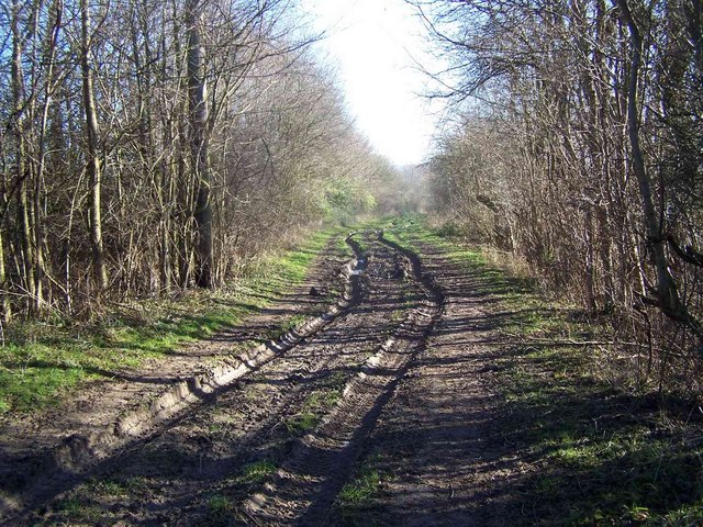
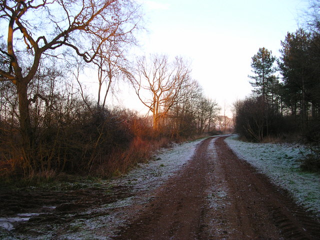
Jubilee Plantation also features several walking trails, allowing visitors to explore the beauty of the woodlands at their own pace. These well-maintained paths meander through the forest, offering opportunities to discover hidden gems such as ancient ruins, natural springs, and scenic viewpoints.

The plantation's history can be traced back to the early 19th century when it was established as a timber plantation. Over the years, it has been carefully managed to ensure the sustainability of the woodland, while also providing a valuable source of timber for the local community.

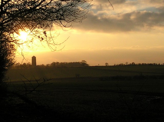
Today, Jubilee Plantation continues to be an important conservation area, preserving the natural beauty of the Cambridgeshire countryside. With its serene atmosphere and stunning scenery, it is a perfect destination for those seeking a peaceful retreat or a chance to connect with nature.

If you have any feedback on the listing, please let us know in the comments section below.

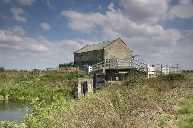
Jubilee Plantation Images

Images are sourced within 2km of 52.123964/0.29618864 or Grid Reference TL5749. Thanks to Geograph Open Source API. All images are credited.

Distant Horizons. Looking NW from opposite the entrance to Yole Farm
Distant Horizons.
Looking NW from opposite the entrance to Yole Farm
Chilford Hall Vineyard Entrance to the vineyard. Looking towards Linton on the Linton - Balsham road.
Chilford Hall Vineyard
Entrance to the vineyard. Looking towards Linton on the Linton - Balsham road.
Chilford Hall Vineyard The main hall can be seen in the trees. As well as a vineyard there is a crafts centre and conference centre.
Chilford Hall Vineyard
The main hall can be seen in the trees. As well as a vineyard there is a crafts centre and conference centre.
Chilford Hall The concrete extension was added by the current owners in the late 1960s.
Chilford Hall
The concrete extension was added by the current owners in the late 1960s.
Roman road The Roman road across an otherwise featureless landscape maybe an Iron age track upgraded by the Romans.
Roman road
The Roman road across an otherwise featureless landscape maybe an Iron age track upgraded by the Romans.
Borley wood - restoration This view shows a area from which planted exotic conifer species have just been removed to allow site native species to re-assert themselves (NVC W8 ash/maple woodland type).
Borley wood - restoration
This view shows a area from which planted exotic conifer species have just been removed to allow site native species to re-assert themselves (NVC W8 ash/maple woodland type).
3 deer sitting out a windy day Zoom in to see the deer.  There are 8 deer all together. They stood up ran into the Borley Wood before my camera refreshed so I can only show 3 here. In the next shot they were a blur.
3 deer sitting out a windy day
Zoom in to see the deer. There are 8 deer all together. They stood up ran into the Borley Wood before my camera refreshed so I can only show 3 here. In the next shot they were a blur.
Roman Road
Roman Road
Buck is left of doe The Gamekeeper here said he counted 71 deer here the other day.
Buck is left of doe
The Gamekeeper here said he counted 71 deer here the other day.
Borley Wood at sunset
Linton's pretty lighthouse shaped water tower Got tired of waiting for the sunset so the tree branches helped.
Linton's pretty lighthouse shaped water tower
Got tired of waiting for the sunset so the tree branches helped.
Pretty plain . The Roman Road to Wandlebury is on the horizon. The tree to the right is on a path  shown on the historic map but unfortunately not on the 2001 map.  The path is perpendicular to the Roman Road.
Pretty plain .
The Roman Road to Wandlebury is on the horizon. The tree to the right is on a path shown on the historic map but unfortunately not on the 2001 map. The path is perpendicular to the Roman Road.
Where the road with no name crosses the Roman Rd. Behind me is the road between Hildersham and Balsham.  The Linton Water tower is on the Horizon.
Where the road with no name crosses the Roman Rd.
Behind me is the road between Hildersham and Balsham. The Linton Water tower is on the Horizon.
Pretty plain from the north. Linton water tower on the horizon. Half lit.
Pretty plain from the north.
Linton water tower on the horizon. Half lit.
Byway to West Wickham The byway runs between the two hedgerows; soon after it becomes a footpath.
Byway to West Wickham
The byway runs between the two hedgerows; soon after it becomes a footpath.
Balsham Wood Viewed from the footpath to West Wickham, south of the village of Balsham.
Balsham Wood
Viewed from the footpath to West Wickham, south of the village of Balsham.
Balsham water tower Owned and managed by the Cambridge Water Company.
Balsham water tower
Owned and managed by the Cambridge Water Company.
Show me another place!

Jubilee Plantation is located at Grid Ref: TL5749 (Lat: 52.123964, Lng: 0.29618864)

Administrative County: Cambridgeshire

District: South Cambridgeshire

Police Authority: Cambridgeshire

What 3 Words

///error.loaded.perfumed. Near Balsham, Cambridgeshire

Nearby Locations

Jubilee Plantation

Related Wikis

South East Cambridgeshire (UK Parliament constituency)

South East Cambridgeshire is a constituency represented in the House of Commons of the UK Parliament since 2015 by Lucy Frazer, a member of the Conservative...

Balsham Wood

Balsham Wood is a 35 hectare biological Site of Special Scientific Interest south of Balsham in Cambridgeshire.This site has one of the last surviving...

Rivey Hill

Rivey Hill is a hill overlooking Linton in Cambridgeshire, England (grid reference TL567480). At 367 feet (112 m) it is the highest point for several miles...

Balsham

Balsham is a rural village and civil parish in the county of Cambridgeshire, England, which has much expanded since the 1960s and is now one of several...

Furze Hill SSSI

Furze Hill is a 5.8-hectare (14-acre) biological Site of Special Scientific Interest in three nearby areas east of Hildersham in Cambridgeshire.The site...

Cambridgeshire Lodes

The Cambridgeshire Lodes are a series of man-made waterways, believed to be Roman in origin, located in the county of Cambridgeshire, England. Bottisham...

Caxton and Arrington Rural District

Caxton and Arrington was a rural district in Cambridgeshire, England, from 1894 to 1934. It was formed in 1894 under the Local Government Act 1894, covering...

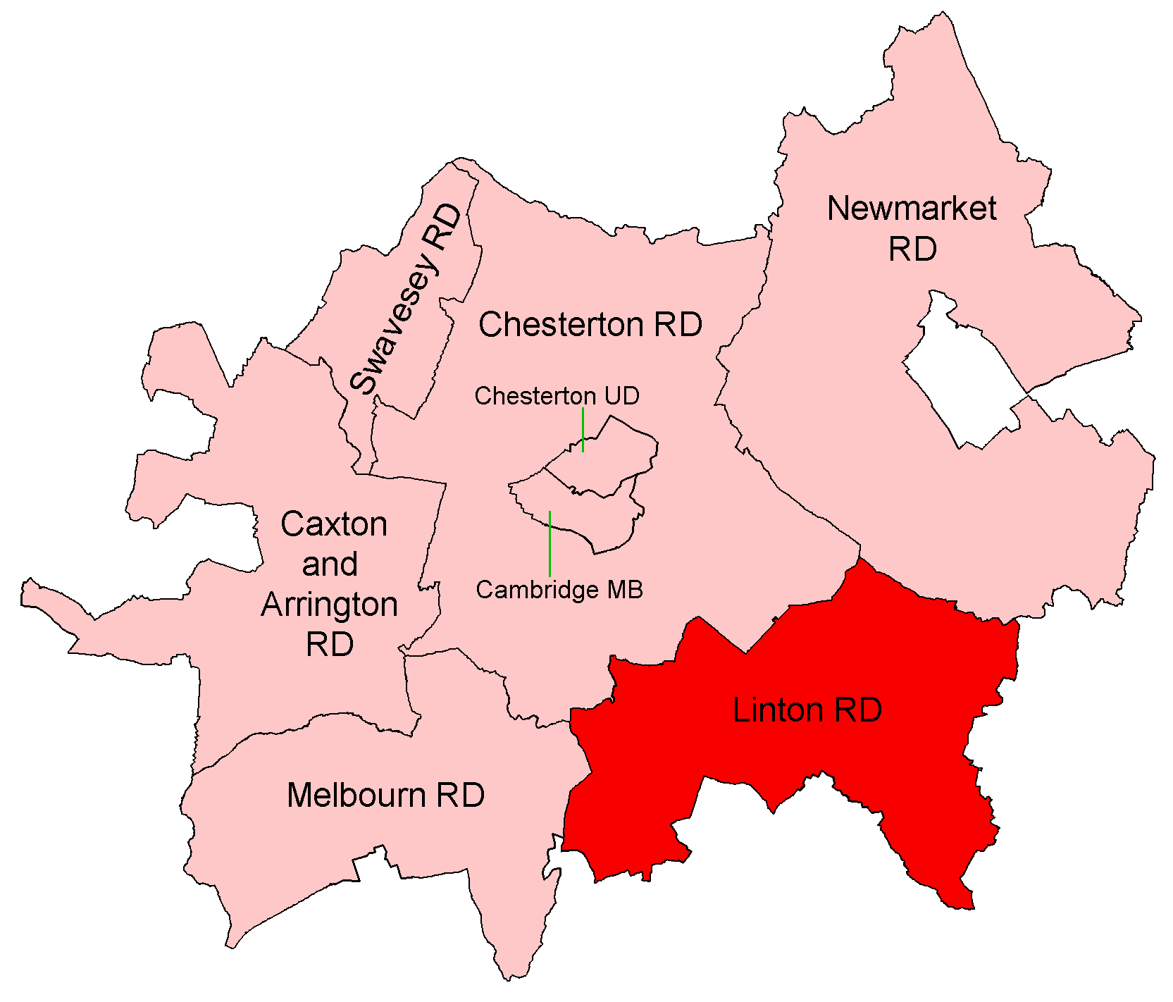
Linton Rural District

Linton was a rural district in Cambridgeshire, England, from 1894 to 1934. It was formed in 1894 under the Local Government Act 1894, covering the area...

Nearby Amenities

Located within 500m of 52.123964,0.29618864
Power: pole
Lat/Long: 52.1206472/0.298153
Power: pole
Lat/Long: 52.1197856/0.2962339
Power: pole
Lat/Long: 52.1202172/0.2971789
Power: pole
Lat/Long: 52.1210714/0.2991173
Power: pole
Lat/Long: 52.1222192/0.3021233
Power: pole
Lat/Long: 52.123566/0.2903597
Power: pole
Lat/Long: 52.1246263/0.2914486
Power: pole
Lat/Long: 52.1266881/0.2935783
Power: pole
Lat/Long: 52.1225515/0.2893243
Power: pole
Lat/Long: 52.125654/0.2924893
Power: pole
Lat/Long: 52.12762/0.2944634
The data included in this document is from www.openstreetmap.org. The data is made available under ODbL.

Have you been to Jubilee Plantation?

Leave your review of Jubilee Plantation below (or comments, questions and feedback).