Sandbrook Wood

Wood, Forest in Sussex Wealden

England

Sandbrook Wood

Watermill Watermill on upper reaches of River Cuckmere at Hellingly
Watermill Credit: Terry Jones

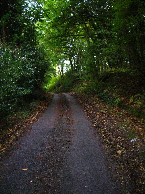
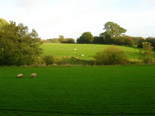
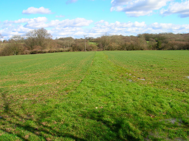
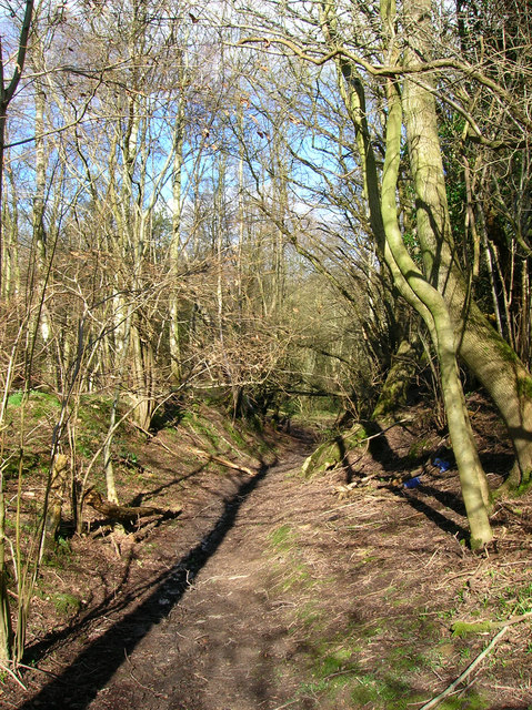
Sandbrook Wood is a picturesque forest located in the county of Sussex, England. Covering an area of approximately 100 hectares, it is nestled amidst the rolling hills and verdant landscapes of the South Downs National Park. The wood is predominantly composed of deciduous trees, including oak, beech, and ash, which create a stunning mosaic of colors during the autumn season.

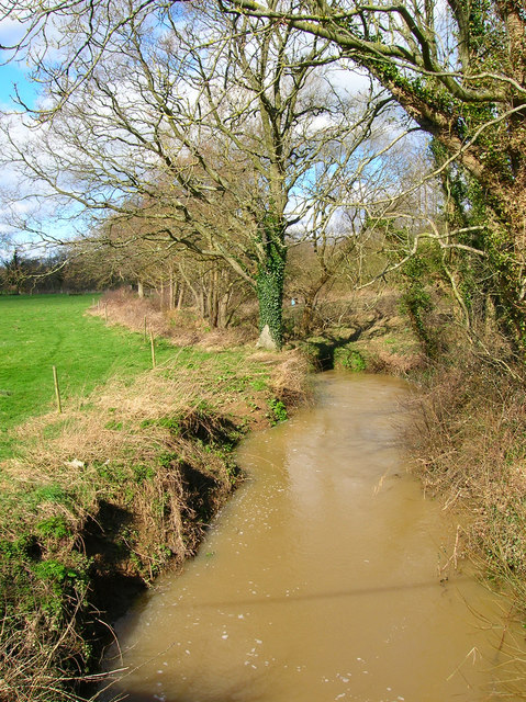
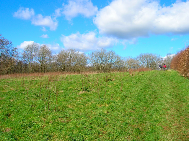
The woodland boasts an extensive network of well-maintained footpaths, making it a popular destination for nature enthusiasts and hikers alike. These trails wind their way through the forest, leading visitors to hidden glades, babbling brooks, and enchanting clearings. The tranquil atmosphere and abundant wildlife make Sandbrook Wood a haven for birdwatchers, with species such as woodpeckers, nightingales, and buzzards frequently spotted.

In addition to its natural beauty, Sandbrook Wood holds historical significance. It is believed to have been part of an ancient woodland that has been in existence for centuries. The wood has witnessed various human activities throughout history, including charcoal production and timber harvesting. Today, it is managed by the Sussex Wildlife Trust, which ensures the preservation of its ecological diversity.

Visitors to Sandbrook Wood can enjoy a range of activities, including picnicking, photography, and simply immersing themselves in the tranquility of nature. The wood also offers educational opportunities, with guided walks and workshops organized by the Sussex Wildlife Trust to promote environmental awareness and understanding.

Overall, Sandbrook Wood is a captivating destination that showcases the natural beauty and rich biodiversity of Sussex. Whether one seeks solitude, adventure, or a deeper connection with nature, this woodland offers an idyllic retreat for all.

If you have any feedback on the listing, please let us know in the comments section below.

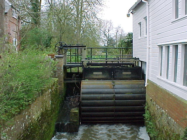
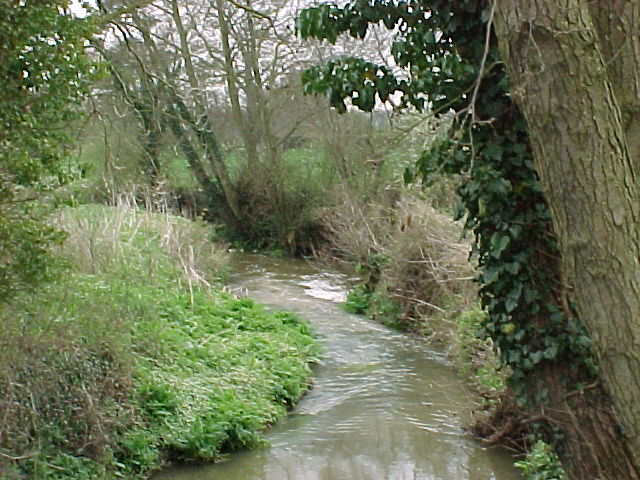
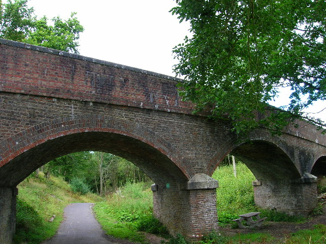
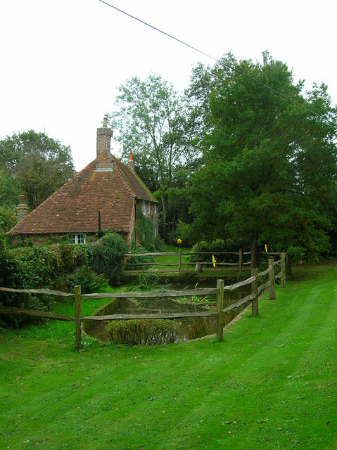
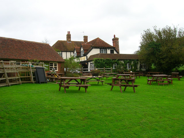
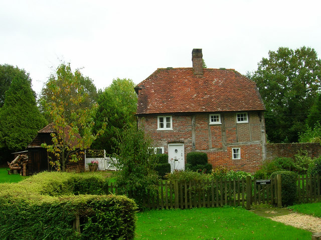
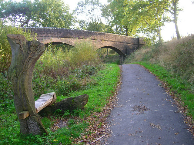
Sandbrook Wood Images

Images are sourced within 2km of 50.897176/0.23638933 or Grid Reference TQ5713. Thanks to Geograph Open Source API. All images are credited.

Watermill Watermill on upper reaches of River Cuckmere at Hellingly
Watermill
Watermill on upper reaches of River Cuckmere at Hellingly
Upper reaches of River Cuckmere Upper reaches of River Cuckmere at Hellingly
Upper reaches of River Cuckmere
Upper reaches of River Cuckmere at Hellingly
Lower Horsebridge Looking east along the A271 and its junction with the B2104. Upper and Lower Horsebridge are named after the two bridges over the Cuckmere where the river splits.
Lower Horsebridge
Looking east along the A271 and its junction with the B2104. Upper and Lower Horsebridge are named after the two bridges over the Cuckmere where the river splits.
Shawpits Bridge, near Hellingly This bridge carries the farm track from Shawpits Farm to the A267 over the former railway line now the Cuckoo Trail. This view looks north.
Shawpits Bridge, near Hellingly
This bridge carries the farm track from Shawpits Farm to the A267 over the former railway line now the Cuckoo Trail. This view looks north.
Road to Hell, somewhere near Hailsham Signpost on the crossroads near Hellingly Hospital with the last 5 letters of the village of the same name cunningly removed. This view looks north.
Road to Hell, somewhere near Hailsham
Signpost on the crossroads near Hellingly Hospital with the last 5 letters of the village of the same name cunningly removed. This view looks north.
Price's Farm On Swansbrook Lane between Gun Hill and Cogger's Cross. The yellow flowers are children's windmills.
Price's Farm
On Swansbrook Lane between Gun Hill and Cogger's Cross. The yellow flowers are children's windmills.
The Gun, Gun Hill Both name of pub and hamlet indicate the site of a former Wealden foundry in the vicinity.
The Gun, Gun Hill
Both name of pub and hamlet indicate the site of a former Wealden foundry in the vicinity.
Swanbrook Lane, Pickly Wood The detritus of the horse chestnut trees litter the road.
Swanbrook Lane, Pickly Wood
The detritus of the horse chestnut trees litter the road.
Swanbrook Farm 16th century farm house.
Swanbrook Farm
16th century farm house.
Woodhams Bridge Carrying a farm track over the former railway line. The carved seat in the foreground is one of many that can be found throughout the length of the trail depicting local wildlife, flora and fauna.
Woodhams Bridge
Carrying a farm track over the former railway line. The carved seat in the foreground is one of many that can be found throughout the length of the trail depicting local wildlife, flora and fauna.
Afternoon Grazing near Cuckmere River The course of the river follows the line of trees in the middle of the picture. On the 1940s map most of this area was covered by Springham Wood but it seems to have been grubbed in the preceding 60 years.
Afternoon Grazing near Cuckmere River
The course of the river follows the line of trees in the middle of the picture. On the 1940s map most of this area was covered by Springham Wood but it seems to have been grubbed in the preceding 60 years.
Tributary of the Cuckmere River, Lea Bridge Unnamed stream that joins the Cuckmere river south of Hellingly. Lea Bridge now carries the A267 to Heathfield.
Tributary of the Cuckmere River, Lea Bridge
Unnamed stream that joins the Cuckmere river south of Hellingly. Lea Bridge now carries the A267 to Heathfield.
Footpath to Wellshurst Golf Club Marked by the different shade of green and taken from the junction with the Weald Way.
Footpath to Wellshurst Golf Club
Marked by the different shade of green and taken from the junction with the Weald Way.
Weald Way This portion links Lealands to Westenden Woods.
Weald Way
This portion links Lealands to Westenden Woods.
Westenden Wood Following the Weald Way as it dips into a small valley.
Westenden Wood
Following the Weald Way as it dips into a small valley.
Lonely Stile near Rock Harbour Farm A reminder that the stile once marked a field boundary which now no longer exists. Rock Harbour Farm can be seen through the hedge to the right.
Lonely Stile near Rock Harbour Farm
A reminder that the stile once marked a field boundary which now no longer exists. Rock Harbour Farm can be seen through the hedge to the right.
Stream, Westenden Wood This unnamed stream joins another trinutary of the Cuckmere just to the south of the wood.
Stream, Westenden Wood
This unnamed stream joins another trinutary of the Cuckmere just to the south of the wood.
View to World's End The trees mark the course of a stream whilst Nut Knowles Farm at World's End can be seen beyond. Typical Wealden countryside of woods, streams and farmland.
View to World's End
The trees mark the course of a stream whilst Nut Knowles Farm at World's End can be seen beyond. Typical Wealden countryside of woods, streams and farmland.
Show me another place!

Sandbrook Wood is located at Grid Ref: TQ5713 (Lat: 50.897176, Lng: 0.23638933)

Administrative County: East Sussex

District: Wealden

Police Authority: Sussex

What 3 Words

///gripes.grounded.cornfield. Near Hailsham, East Sussex

Related Wikis

Hellingly

Hellingly (pronounced 'Helling-lye') is a village, and can also refer to a civil parish, and to a district ward, in the Wealden District of East Sussex...
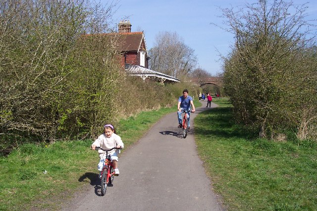
Cuckoo Trail

The Cuckoo Trail is a 14-mile (23 km) footpath and cycleway which runs from Hampden Park to Heathfield in East Sussex. It passes through the towns of Polegate...

Horselunges Manor

Horselunges Manor is a 15th-century manor house in Hellingly, East Sussex, that was restored in the 20th century. The house was previously owned by Peter...

Gun Hill, East Sussex

Gun Hill is a hamlet in the civil parish of Chiddingly in the Wealden district of East Sussex, England. It is one of the seven hills of the parish in which...

Hellingly railway station

Hellingly was a railway station on the now closed Polegate to Eridge line (the Cuckoo Line) in East Sussex. It served the village of Hellingly. ��2�...

Hellingly Hospital Railway

The Hellingly Hospital Railway was a light railway owned and operated by East Sussex County Council, used for transporting coal and passengers to Hellingly...

Zoar Strict Baptist Chapel

Zoar Strict Baptist Chapel is a Strict Baptist place of worship in the hamlet of Lower Dicker in the English county of East Sussex. Founded in 1837 and...

Hellingly Hospital

Hellingly Hospital, formerly the East Sussex County Asylum, was a large psychiatric hospital close to the village of Hellingly, east of Hailsham, in the...

Nearby Amenities

Located within 500m of 50.897176,0.23638933
Power: pole
Lat/Long: 50.8930977/0.2377858
Power: pole
Lat/Long: 50.8938928/0.2383652
Power: pole
Lat/Long: 50.894622/0.2388775
Power: pole
Lat/Long: 50.8953698/0.2394301
Power: pole
Lat/Long: 50.8964576/0.2394542
Power: pole
Lat/Long: 50.8971951/0.2394595
Power: pole
Lat/Long: 50.8979039/0.2394703
Power: pole
Lat/Long: 50.8987988/0.2394944
Power: pole
Lat/Long: 50.8995956/0.2395186
Power: pole
Lat/Long: 50.9004921/0.2395454
The data included in this document is from www.openstreetmap.org. The data is made available under ODbL.

Have you been to Sandbrook Wood?

Leave your review of Sandbrook Wood below (or comments, questions and feedback).