Ladies Wood
Wood, Forest in Kent Dartford
England
Ladies Wood

Ladies Wood, located in Kent, England, is a charming woodland area that offers a peaceful retreat for nature enthusiasts and outdoor lovers alike. Spanning across several acres, this forested area is known for its diverse ecosystem and breathtaking scenery.
The wood is primarily composed of mature trees, including oak, beech, and birch, which create a dense canopy that provides shade and shelter for a variety of wildlife. The forest floor is carpeted with a rich assortment of wildflowers, ferns, and mosses, adding to the wood's natural beauty.
Ladies Wood is a haven for birdwatchers, as it attracts a wide range of avian species throughout the year. Visitors may spot woodpeckers, nightingales, and various species of owls, along with many other woodland birds. The tranquil atmosphere makes it an ideal spot for birdwatching and listening to the gentle sounds of nature.
For those who enjoy outdoor activities, Ladies Wood offers a network of well-maintained walking trails that meander through the forest. These trails provide an opportunity for visitors to explore the wood at their own pace and discover its hidden treasures, such as a small stream that runs through the heart of the woodland.
Ladies Wood is a popular destination for families and nature enthusiasts, who come to experience the serenity and beauty of this natural gem. It offers a peaceful escape from the hustle and bustle of everyday life, allowing visitors to reconnect with nature and enjoy the simple pleasures of the outdoors.
If you have any feedback on the listing, please let us know in the comments section below.
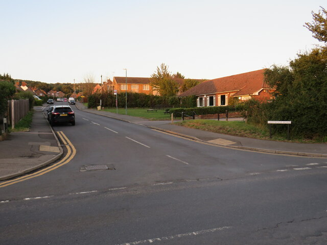
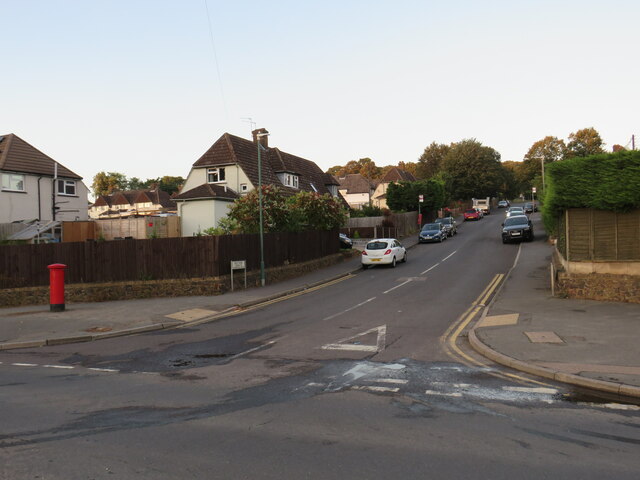
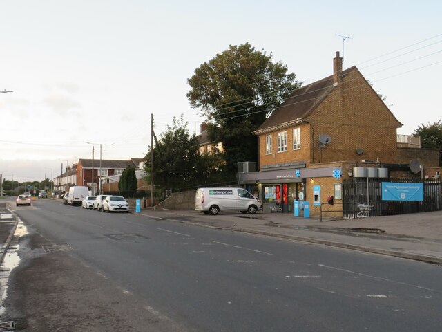
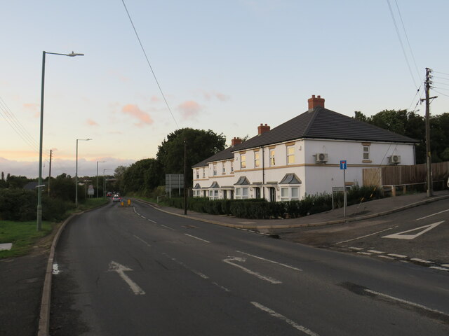
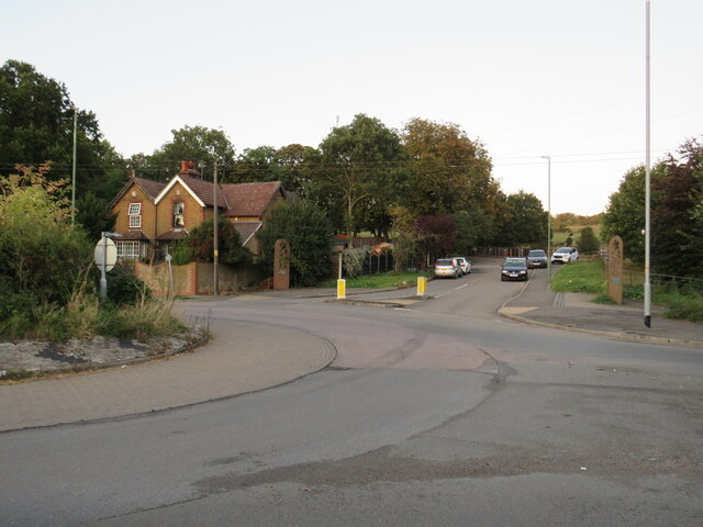
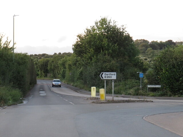
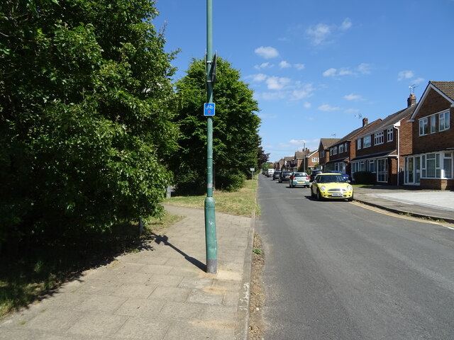
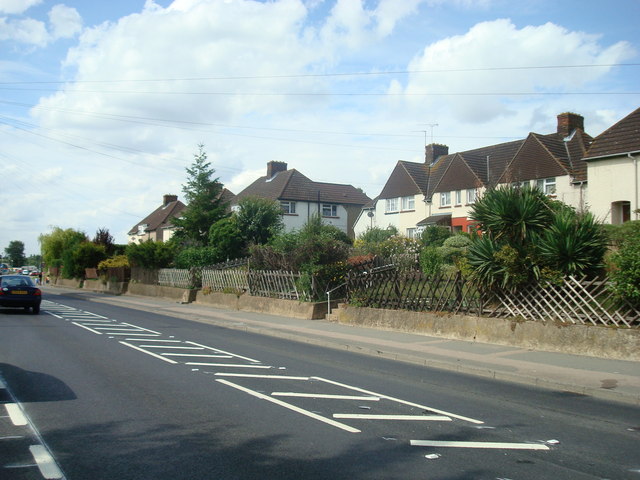
Ladies Wood Images
Images are sourced within 2km of 51.422495/0.26200058 or Grid Reference TQ5771. Thanks to Geograph Open Source API. All images are credited.


Ladies Wood is located at Grid Ref: TQ5771 (Lat: 51.422495, Lng: 0.26200058)
Administrative County: Kent
District: Dartford
Police Authority: Kent
What 3 Words
///veal.stump.brick. Near Darenth, Kent
Nearby Locations
Related Wikis
Darenth
Darenth is a village and civil parish in the Borough of Dartford, Kent, England. It is located 3.4 miles south east of Dartford and 4.6 miles north east...

Darenth Wood
Darenth Wood is a 122.9-hectare (304-acre) biological Site of Special Scientific Interest east of Dartford in Kent.This ancient semi-natural wood has many...

Dartford (UK Parliament constituency)
Dartford is a constituency in Kent represented in the House of Commons of the UK Parliament since 2010 by Gareth Johnson of the Conservative Party. It...

Darenth Country Park
Darenth Country Park is in Darenth near Dartford, in Kent, England. On the site of a former demolished hospital site Darenth Park Hospital, also the site...

Church of St Margaret of Antioch, Darenth
The Church of St Margaret of Antioch at Darenth, Kent, is a church with Norman origins thought to be the third oldest in Kent and the sixth oldest in the...

Darent Valley Hospital
Darent Valley Hospital is a 478-bed, acute district general hospital in Dartford, Kent, England. The hospital has an Emergency Department. The hospital...
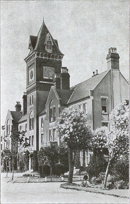
Darenth Park Hospital
Darenth Park Hospital was a healthcare facility in Darenth near Dartford in Kent, originally founded as Darenth School. == History == The hospital was...
North West Kent
North West Kent is a geographical area in Kent, a county in south-east England. The term North West Kent may refer to one or both of two distinct areas...
Nearby Amenities
Located within 500m of 51.422495,0.26200058Have you been to Ladies Wood?
Leave your review of Ladies Wood below (or comments, questions and feedback).