Darenth
Civil Parish in Kent Dartford
England
Darenth

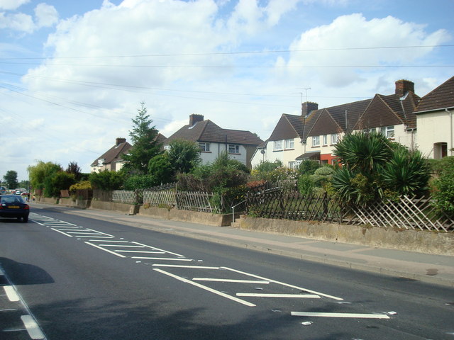
Darenth is a civil parish located in the county of Kent, England. It is situated approximately 20 miles southeast of London and lies within the administrative district of Dartford. The parish covers an area of around 5 square miles and is predominantly a rural area with a scattering of residential properties.
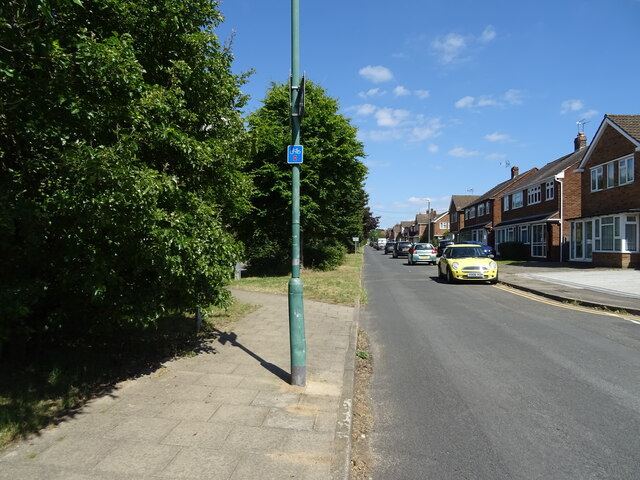
Darenth is known for its picturesque countryside and is surrounded by fields, woodlands, and the River Darent, which runs through the parish. The village itself is small, with a population of around 1,500 people. It is characterized by traditional English architecture, with several historic buildings, including the Grade II listed St. Margaret's Church, which dates back to the 13th century.
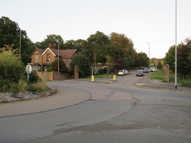
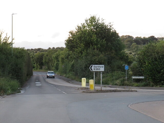
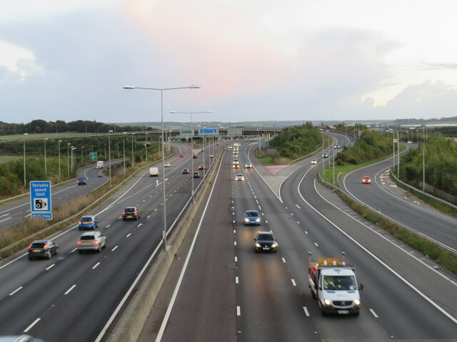
The area is well-connected, with easy access to major transportation routes. The M25 motorway is nearby, providing links to London and other parts of the country. The village is served by several bus routes, connecting it to neighboring towns and villages.
Darenth offers a range of amenities for its residents, including a primary school, a post office, a village hall, and a local pub. The village also has a strong sense of community, with various social and recreational activities taking place throughout the year.
Overall, Darenth is a charming and peaceful parish, offering a tranquil countryside setting while still providing easy access to urban amenities.
If you have any feedback on the listing, please let us know in the comments section below.
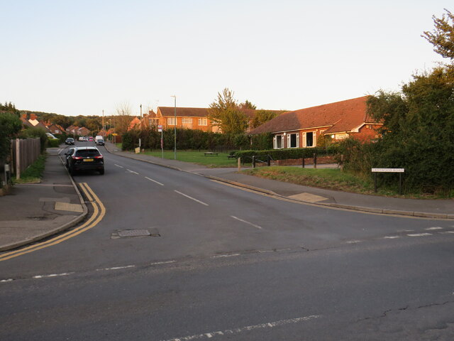
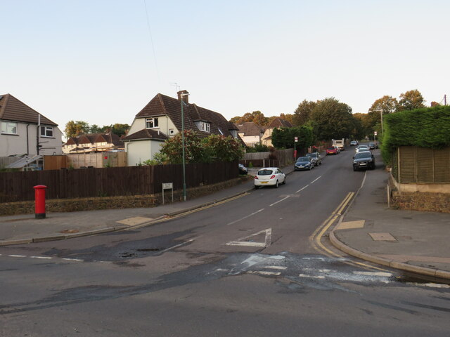
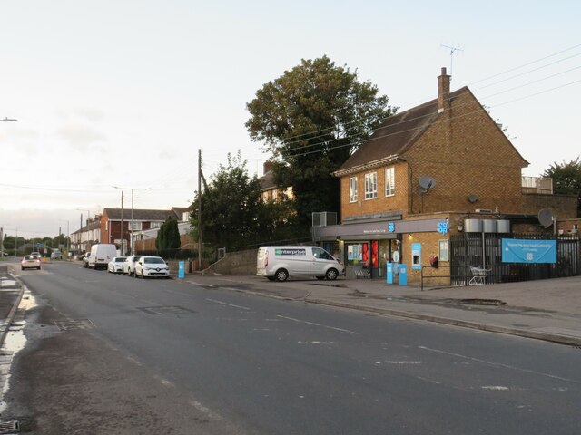
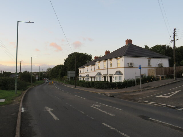
Darenth Images
Images are sourced within 2km of 51.421003/0.258116 or Grid Reference TQ5771. Thanks to Geograph Open Source API. All images are credited.


Darenth is located at Grid Ref: TQ5771 (Lat: 51.421003, Lng: 0.258116)
Administrative County: Kent
District: Dartford
Police Authority: Kent
What 3 Words
///simple.vase.grew. Near Darenth, Kent
Nearby Locations
Related Wikis
Darenth
Darenth is a village and civil parish in the Borough of Dartford, Kent, England. It is located 3.4 miles south east of Dartford and 4.6 miles north east...

Dartford (UK Parliament constituency)
Dartford is a constituency in Kent represented in the House of Commons of the UK Parliament since 2010 by Gareth Johnson of the Conservative Party. It...

Darenth Wood
Darenth Wood is a 122.9-hectare (304-acre) biological Site of Special Scientific Interest east of Dartford in Kent.This ancient semi-natural wood has many...

Church of St Margaret of Antioch, Darenth
The Church of St Margaret of Antioch at Darenth, Kent, is a church with Norman origins thought to be the third oldest in Kent and the sixth oldest in the...

Darenth Country Park
Darenth Country Park is in Darenth near Dartford, in Kent, England. On the site of a former demolished hospital site Darenth Park Hospital, also the site...
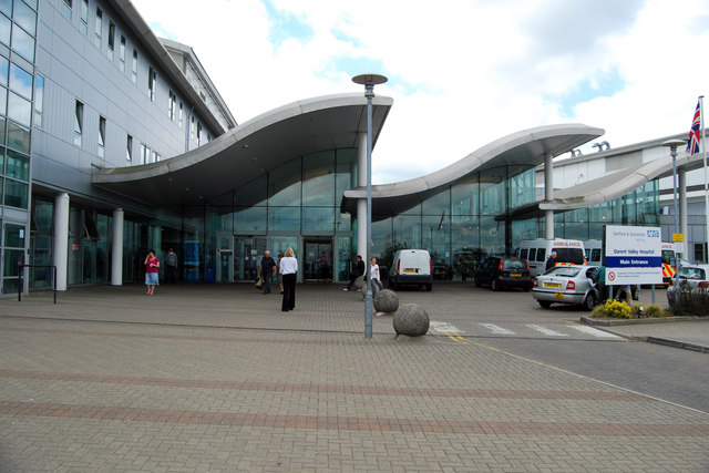
Darent Valley Hospital
Darent Valley Hospital is a 478-bed, acute district general hospital in Dartford, Kent, England. The hospital has an Emergency Department. The hospital...
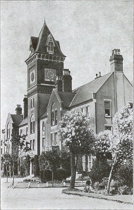
Darenth Park Hospital
Darenth Park Hospital was a healthcare facility in Darenth near Dartford in Kent, originally founded as Darenth School. == History == The hospital was...

Sutton-at-Hone and Hawley
Sutton-at-Hone and Hawley is a civil parish within the Borough of Dartford in Kent, England. It lies to the south of the urban part of the Borough, and...
Nearby Amenities
Located within 500m of 51.421003,0.258116Have you been to Darenth?
Leave your review of Darenth below (or comments, questions and feedback).