Bonus Wood
Wood, Forest in Essex
England
Bonus Wood
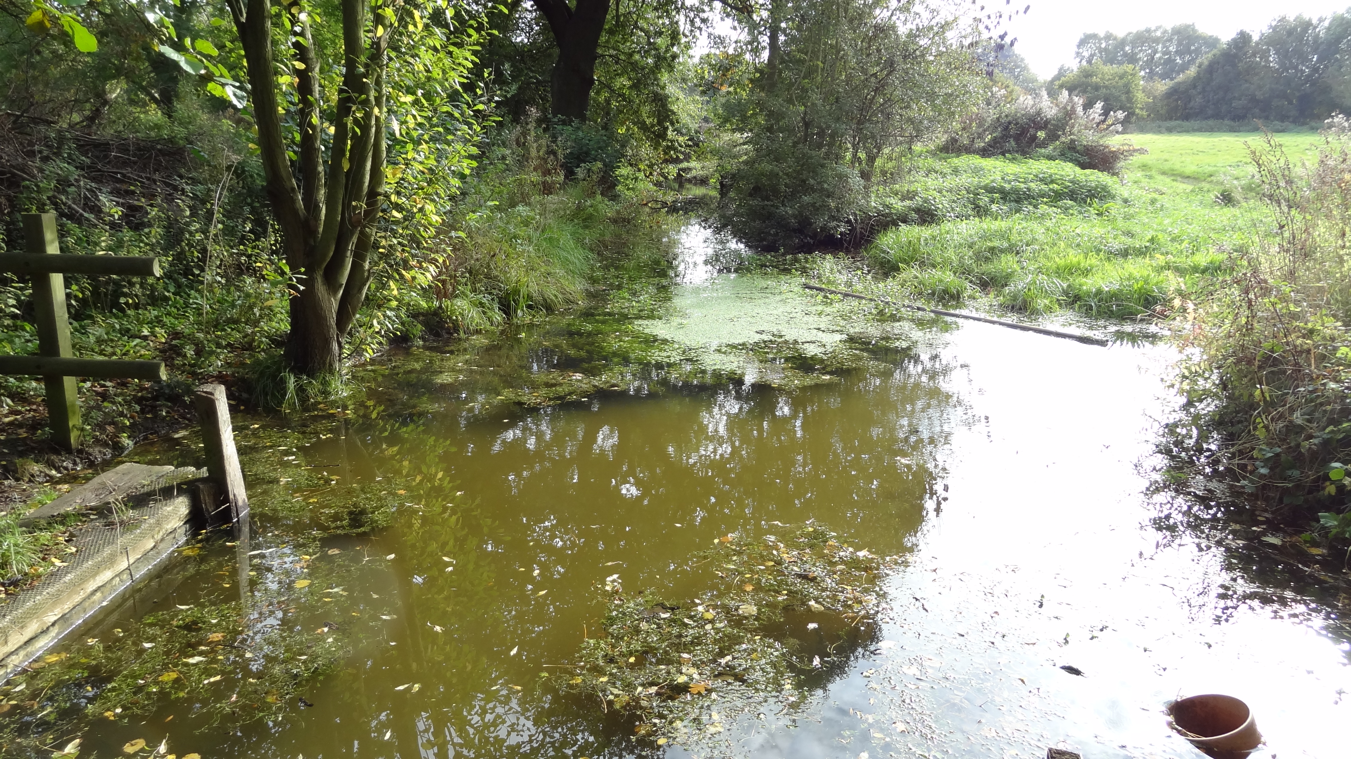
Bonus Wood is a small woodland area located in the county of Essex, England. Situated near the village of Wood, Bonus Wood is part of the larger Epping Forest, which covers a total area of approximately 2,400 hectares.
This woodland is predominantly composed of broadleaf trees, such as oak, beech, and birch, creating a diverse and picturesque landscape. The forest floor is covered in a rich carpet of wildflowers, including bluebells, primroses, and wood anemones, adding to the natural beauty of the area.
Bonus Wood is known for its abundant wildlife, making it a popular destination for nature enthusiasts. The wood is home to a variety of bird species, including woodpeckers, nuthatches, and tawny owls. Mammals such as deer, foxes, and rabbits can also be spotted within the woodland.
The wood offers a range of recreational activities for visitors to enjoy. There are several walking trails that wind through the forest, allowing visitors to explore the natural surroundings and take in the peaceful atmosphere. The woodland also provides a serene setting for picnics and outdoor gatherings.
As part of Epping Forest, Bonus Wood is managed by the City of London Corporation, who strive to maintain the natural beauty and biodiversity of the area. This includes ongoing conservation efforts and the promotion of sustainable practices.
Overall, Bonus Wood is a tranquil and picturesque woodland area that offers a haven for wildlife and a peaceful retreat for visitors seeking to connect with nature.
If you have any feedback on the listing, please let us know in the comments section below.
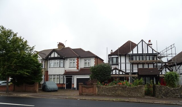
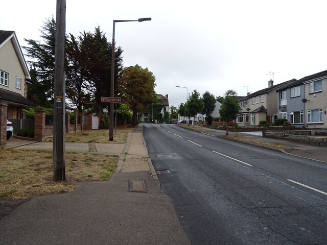
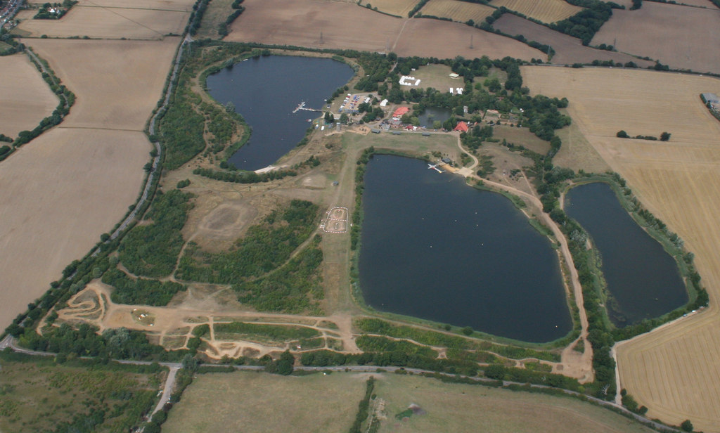
Bonus Wood Images
Images are sourced within 2km of 51.544105/0.27147445 or Grid Reference TQ5785. Thanks to Geograph Open Source API. All images are credited.


Bonus Wood is located at Grid Ref: TQ5785 (Lat: 51.544105, Lng: 0.27147445)
Unitary Authority: Havering
Police Authority: Metropolitan
What 3 Words
///chart.paint.terms. Near Upminster, London
Nearby Locations
Related Wikis
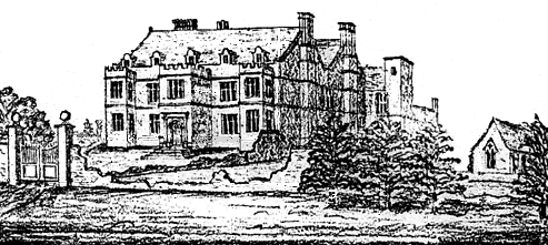
Stubbers
Stubbers was a stately home in North Ockendon, Essex, England. The house was demolished in 1955 and the grounds became the Stubbers Activity Centre in...
Cranham Hall
Cranham Hall is a Grade II listed building in Cranham, London, England.Built c.1795, it forms a typical Essex church-manor house complex, standing on the...
Cranham Marsh
Cranham Marsh is a 15.3 hectare Local Nature Reserve and a Site of Metropolitan Importance for Nature Conservation in Cranham in the London Borough of...

Thames Chase
The Thames Chase Community Forest is a community forest of 9842 hectares (24,320 acres/38 square miles) located in 47 sites in London and Essex, England...
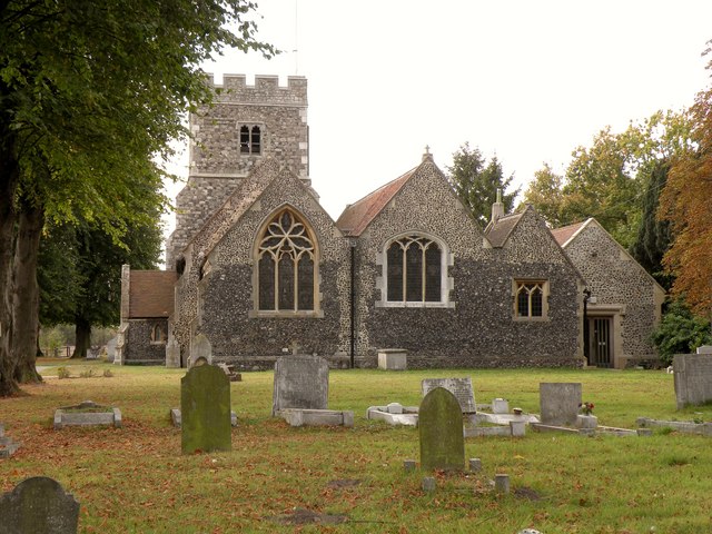
Church of St Mary Magdalene, North Ockendon
The church of St Mary Magdalene is a Church of England religious building in North Ockendon, Greater London, England (and within the Upminster post town...

Gaynes School
Gaynes School is a coeducational secondary school situated on Brackendale Gardens, Upminster, in the London Borough of Havering, London, England.Opened...
Eastbrook School
Eastbrook School is a coeducational primary school, secondary school and sixth form located in Barking and Dagenham, London, England.The Executive Headteacher...
Coopers' Company and Coborn School
The Coopers' Company and Coborn School is a secondary school and sixth form with academy status, located in Upminster area of the London Borough of Havering...
Nearby Amenities
Located within 500m of 51.544105,0.27147445Have you been to Bonus Wood?
Leave your review of Bonus Wood below (or comments, questions and feedback).