Three Acre Wood
Wood, Forest in Sussex Tunbridge Wells
England
Three Acre Wood

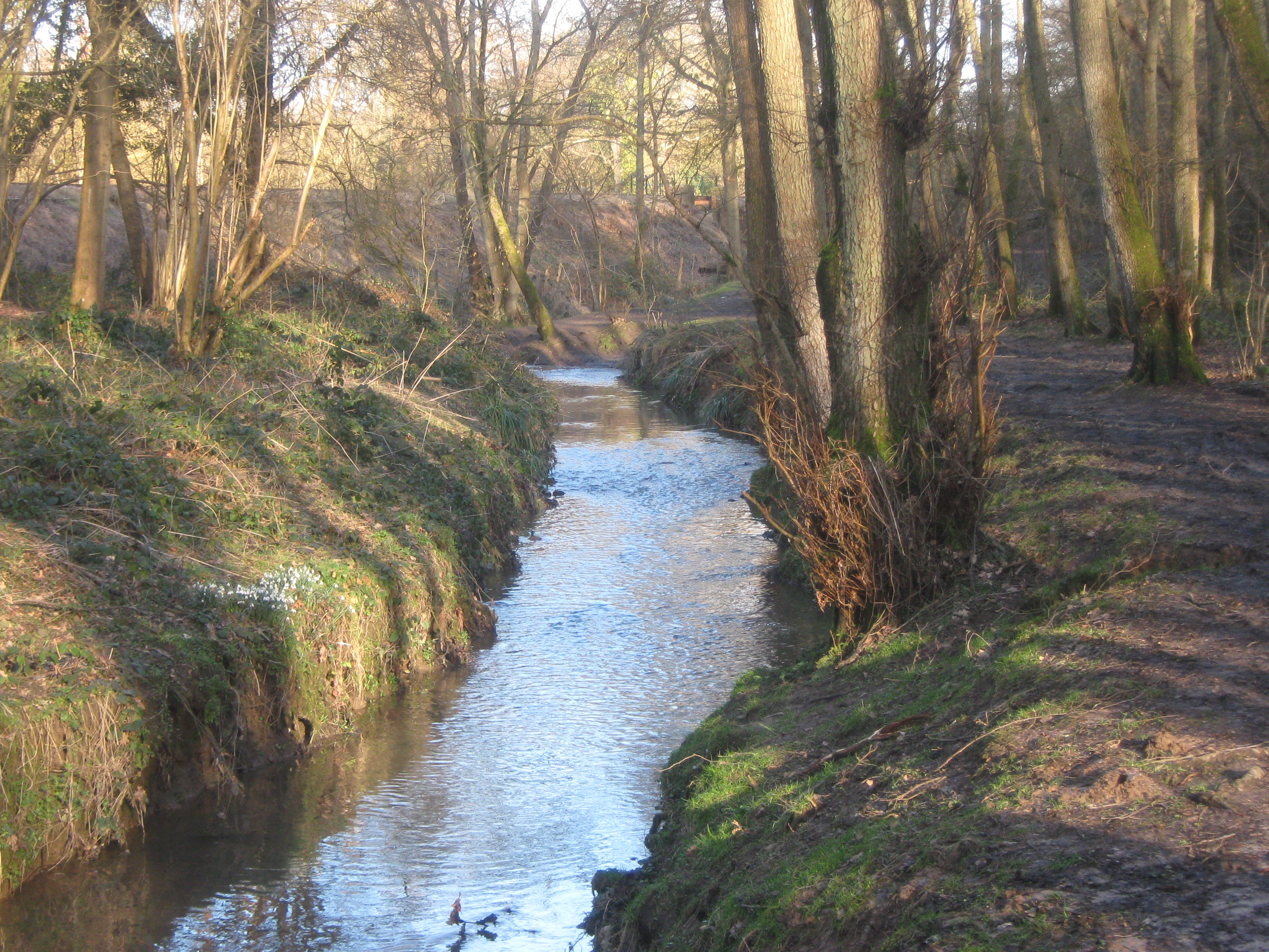
Three Acre Wood is a small woodland located in Sussex, England. Covering an area of approximately three acres, it is nestled within the picturesque countryside, surrounded by rolling hills and meadows. The wood is known for its rich biodiversity and acts as an important habitat for various plant and animal species.
The woodland is predominantly composed of deciduous trees, including oak, beech, and ash, which create a dense canopy overhead. This provides a cool and shaded environment, making it an ideal place for a leisurely stroll or a peaceful picnic. The forest floor is adorned with a carpet of wildflowers during the spring and summer months, adding bursts of color to the greenery.
Three Acre Wood is home to a diverse range of wildlife. Bird enthusiasts can spot species such as woodpeckers, owls, and thrushes flitting among the tree branches. Squirrels, foxes, and rabbits can often be seen scurrying through the undergrowth, while badgers and deer may occasionally make an appearance.
The wood is well-maintained, with clearly marked walking trails that guide visitors through its enchanting pathways. These trails offer a chance to immerse oneself in nature, providing a serene and tranquil escape from the hustle and bustle of everyday life. Three Acre Wood truly offers a haven for nature lovers and an opportunity to appreciate the beauty and serenity of Sussex's countryside.
If you have any feedback on the listing, please let us know in the comments section below.
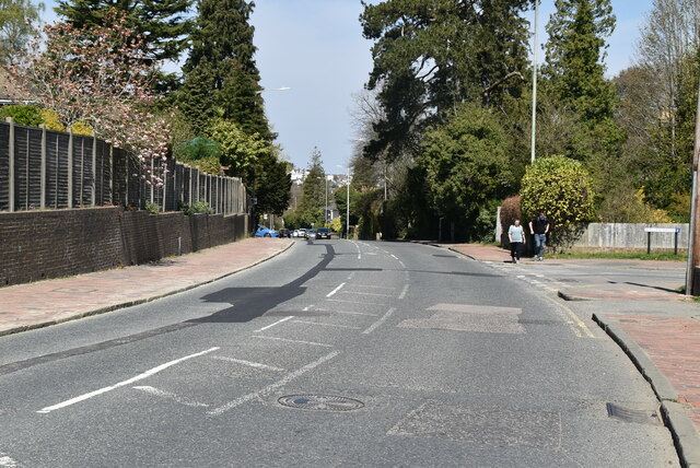
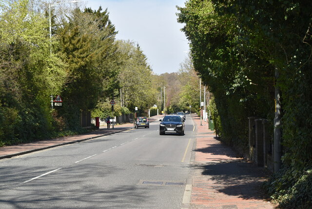
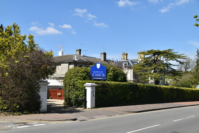
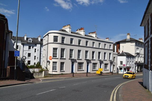
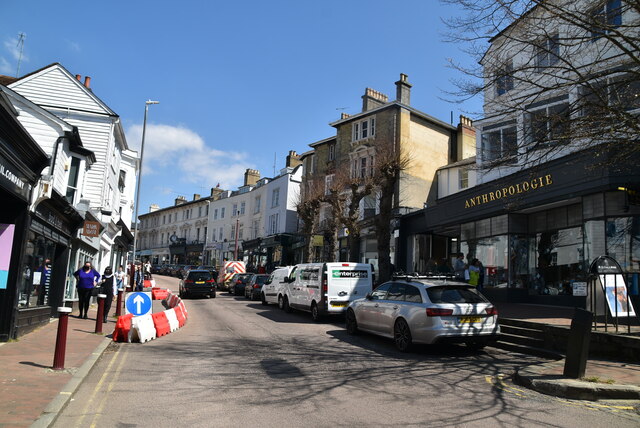
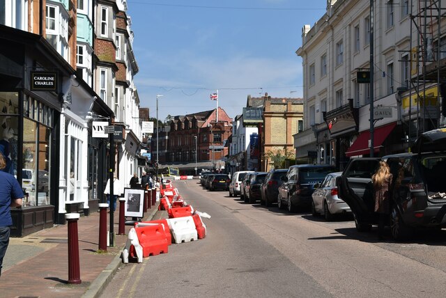
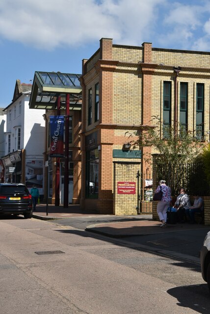
Three Acre Wood Images
Images are sourced within 2km of 51.122002/0.23811402 or Grid Reference TQ5638. Thanks to Geograph Open Source API. All images are credited.


Three Acre Wood is located at Grid Ref: TQ5638 (Lat: 51.122002, Lng: 0.23811402)
Administrative County: Kent
District: Tunbridge Wells
Police Authority: Kent
What 3 Words
///download.decent.violinist. Near Rusthall, Kent
Nearby Locations
Related Wikis

Spa Valley Railway
The Spa Valley Railway (SVR) is a standard gauge heritage railway in England that runs from Tunbridge Wells West railway station in Tunbridge Wells to...
Friezland Wood
Friezland Wood is a woodland in Kent, England, near Tunbridge Wells. It covers a total area of 7.69 hectares (19.00 acres). It is owned and managed by...

High Rocks railway station
High Rocks railway station is a station on the Spa Valley Railway in High Rocks, East Sussex, England. The original High Rocks Halt opened on 1 June 1907...

St Paul's Church, Rusthall
St Paul's Church is a Church of England parish church in Rusthall, Kent, England. It is a Grade II listed building. == History == St Paul's Church was...
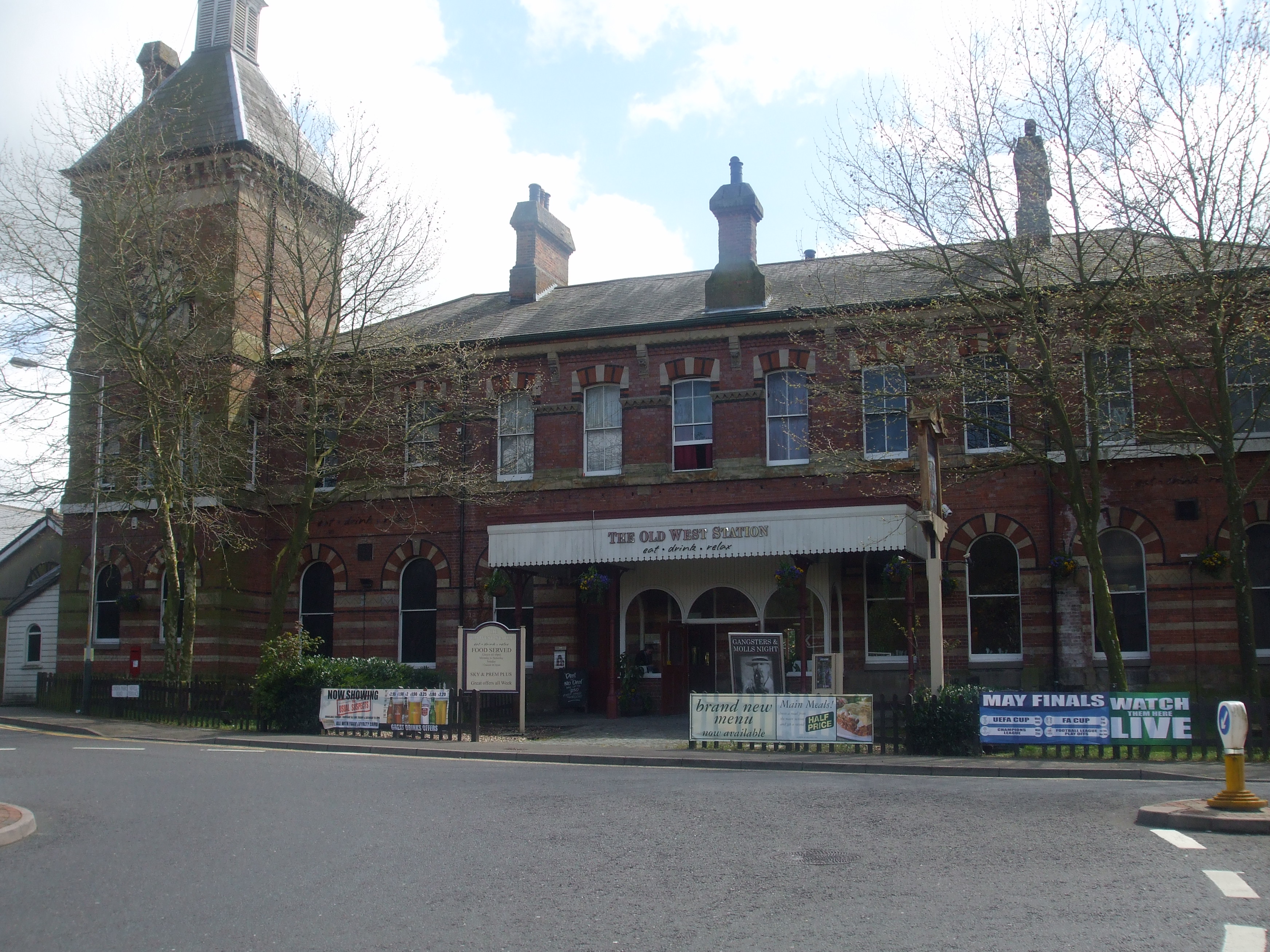
Tunbridge Wells West railway station
Tunbridge Wells West is a railway station located in Royal Tunbridge Wells, Kent. It is one of two railway stations in Tunbridge Wells constructed by rival...

Tunbridge Wells West DEMU Depot
Tunbridge Wells West DEMU Depot was a traction maintenance depot located in Tunbridge Wells, Kent, England. The depot was near Tunbridge Wells West station...
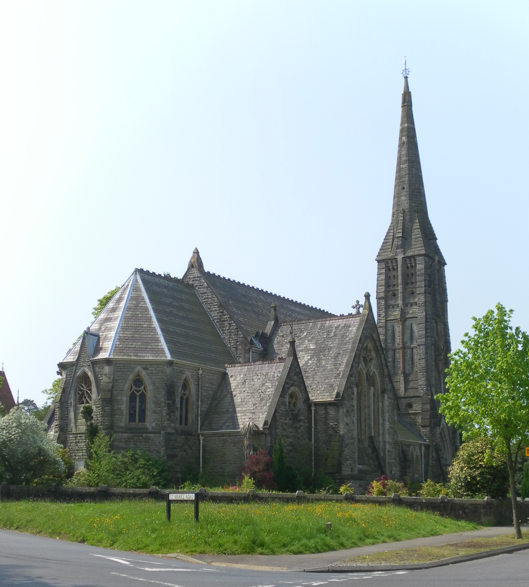
St Mark's Church, Royal Tunbridge Wells
St. Mark's Church is the Church of England parish church for the Broadwater Down area of Royal Tunbridge Wells, Kent, England, in the Diocese of Rochester...
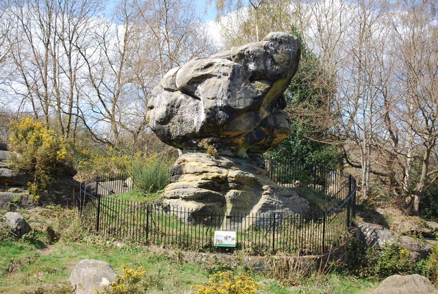
Rusthall Common
Rusthall Common is a 2.7-hectare (6.7-acre) geological Site of Special Scientific Interest in Rusthall, a suburb of Tunbridge Wells in Kent. It is a Geological...
Nearby Amenities
Located within 500m of 51.122002,0.23811402Have you been to Three Acre Wood?
Leave your review of Three Acre Wood below (or comments, questions and feedback).