Nevil Park

Downs, Moorland in Kent Tunbridge Wells

England

Nevil Park

Nursery School, Bayham Rd
Nursery School, Bayham Rd Credit: N Chadwick

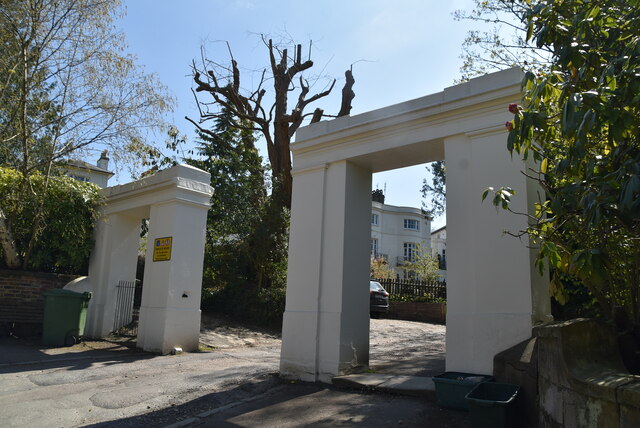
Nevil Park, located in the county of Kent, England, is a captivating area that encompasses both downs and moorland landscapes. Spanning across vast acres of land, this picturesque region is known for its breathtaking natural beauty and diverse ecosystems.

The downs of Nevil Park boast rolling hills covered in lush green grass and dotted with vibrant wildflowers. These open spaces provide a perfect setting for leisurely walks, picnics, and other outdoor activities. Visitors can enjoy panoramic views of the surrounding countryside, with glimpses of the nearby villages and towns nestled amidst the picturesque backdrop.

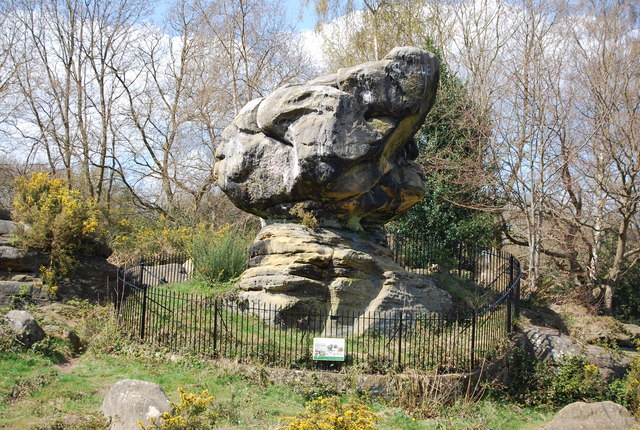
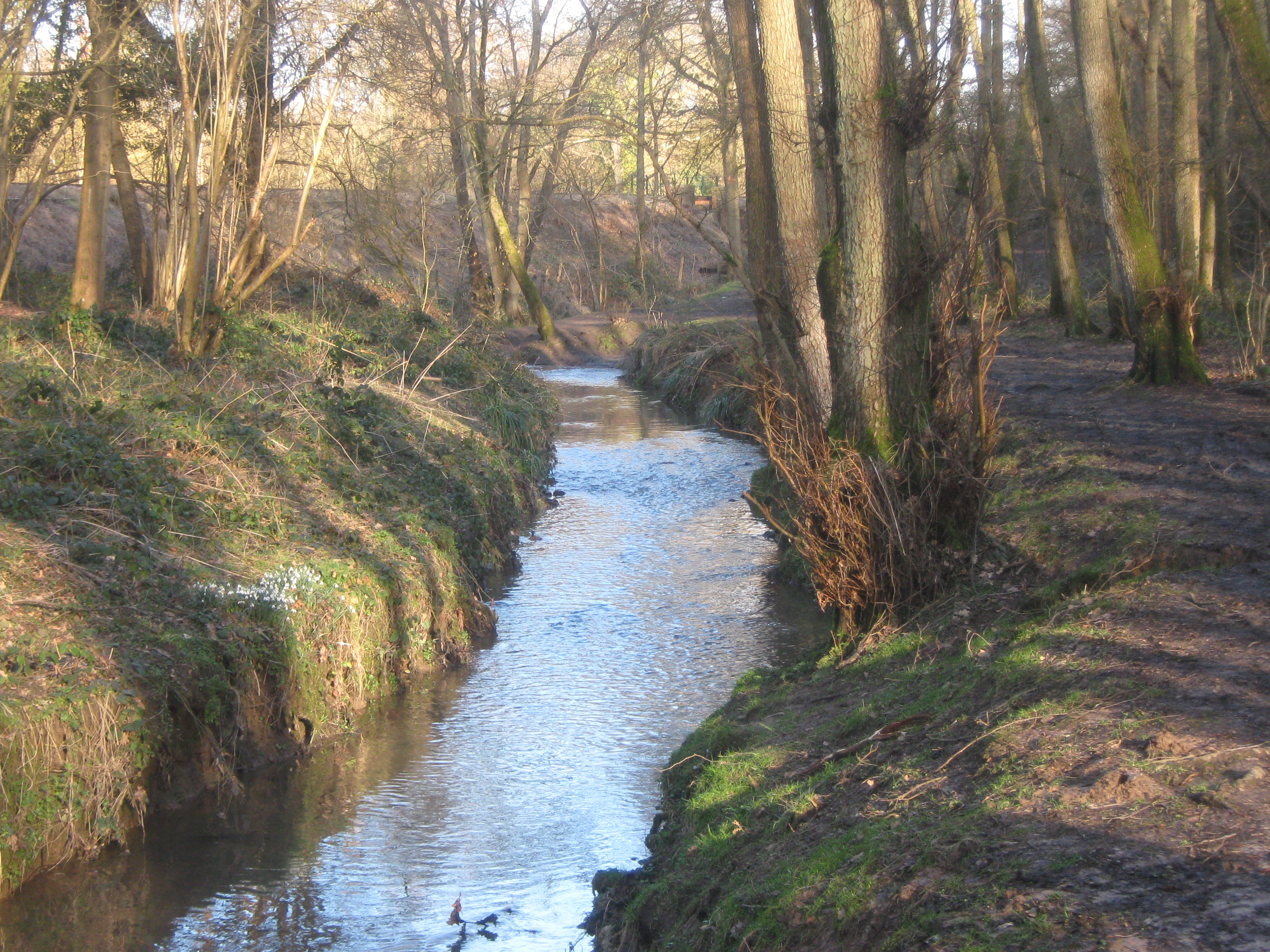
Adjacent to the downs, the moorland of Nevil Park offers a stark contrast in scenery. Characterized by its rugged terrain, heather-covered hills, and scattered patches of gorse, this area is a haven for nature enthusiasts and wildlife lovers. The moorland is home to a variety of bird species and small mammals, providing ample opportunities for birdwatching and wildlife spotting.

Nevil Park is also renowned for its historical significance. The remnants of ancient settlements and burial grounds can be found scattered throughout the area, offering a glimpse into the rich history of the region. Archaeological excavations have revealed artifacts dating back centuries, providing valuable insights into the lives of the people who once inhabited this land.

Overall, Nevil Park in Kent is a captivating destination that offers a harmonious blend of downs and moorland landscapes. Its natural beauty, diverse wildlife, and historical significance make it a must-visit location for nature enthusiasts, history buffs, and anyone seeking a peaceful escape into the idyllic countryside.

If you have any feedback on the listing, please let us know in the comments section below.
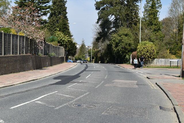
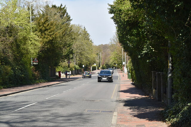
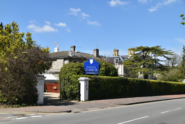
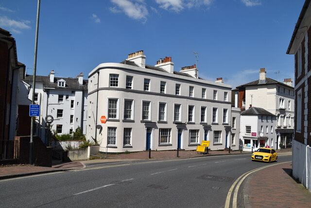
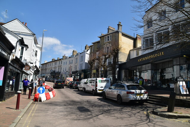
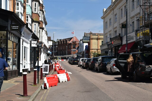
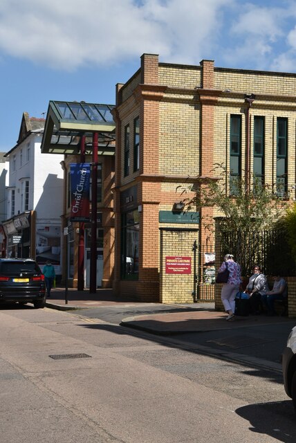
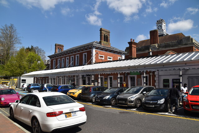
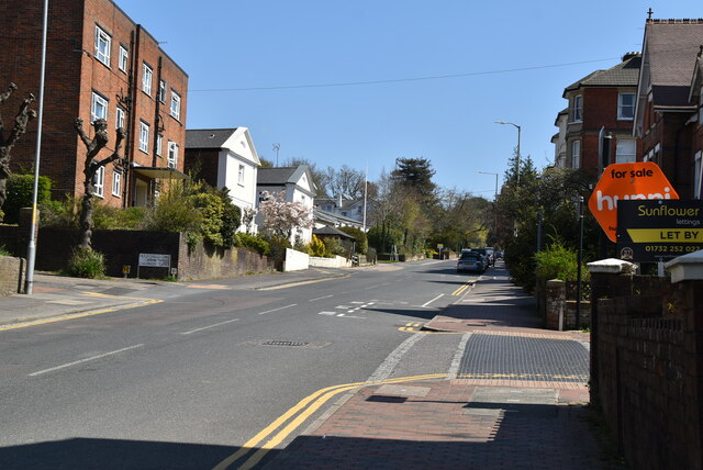
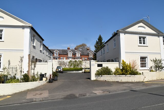
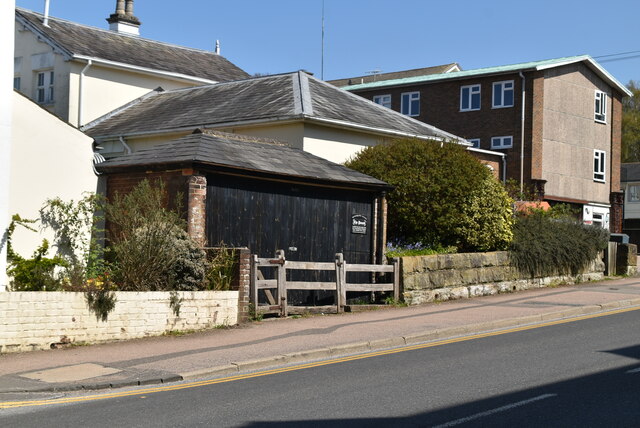
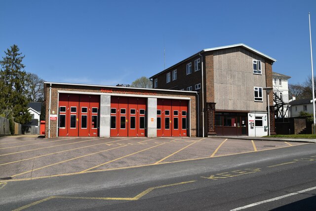
Nevil Park Images

Images are sourced within 2km of 51.127755/0.24013584 or Grid Reference TQ5638. Thanks to Geograph Open Source API. All images are credited.

Nursery School, Bayham Rd
Road sign, Bayham Rd
The Bull
The Bull
Pantiles Baptist Church
Frant Rd The A267 road is a 21 mile long road from Tunbridge Wells <a href="https://www.geograph.org.uk/photo/6669020">TQ5838 : A26, A267 junction</a> to Horsebridge.
Website: <span class="nowrap"><a title="http://www.sabre-roads.org.uk/wiki/index.php?title=A267" rel="nofollow ugc noopener" href="http://www.sabre-roads.org.uk/wiki/index.php?title=A267">Link</a><img style="margin-left:2px;" alt="External link" title="External link - shift click to open in new window" src="https://s1.geograph.org.uk/img/external.png" width="10" height="10"/></span>
Frant Rd
The A267 road is a 21 mile long road from Tunbridge Wells TQ5838 : A26, A267 junction to Horsebridge. Website: LinkExternal link
The Mead School
The Mead School
A267 The A267 road is a 21 mile long road from Tunbridge Wells <a href="https://www.geograph.org.uk/photo/6669020">TQ5838 : A26, A267 junction</a> to Horsebridge.
Website: <span class="nowrap"><a title="http://www.sabre-roads.org.uk/wiki/index.php?title=A267" rel="nofollow ugc noopener" href="http://www.sabre-roads.org.uk/wiki/index.php?title=A267">Link</a><img style="margin-left:2px;" alt="External link" title="External link - shift click to open in new window" src="https://s1.geograph.org.uk/img/external.png" width="10" height="10"/></span>
A267
The A267 road is a 21 mile long road from Tunbridge Wells TQ5838 : A26, A267 junction to Horsebridge. Website: LinkExternal link
High St The B2023 goes through the back streets of Tunbridge Wells.
It starts at a set of traffic lights at the A264 in Calverley Park. It heads south along Prospect Road before turning sharply right onto Camden Hill.
The A26 is met at a mini-roundabout just to the south of the station <a href="https://www.geograph.org.uk/photo/6623463">TQ5839 : B2023</a> and the B2023 multiplexes with it across the railway line before taking the next turn left (meaning that it does not cross the A26) to go along the High Street. The road ends at the other end of the High Street, again on the A26.
High St
The B2023 goes through the back streets of Tunbridge Wells. It starts at a set of traffic lights at the A264 in Calverley Park. It heads south along Prospect Road before turning sharply right onto Camden Hill. The A26 is met at a mini-roundabout just to the south of the station TQ5839 : B2023 and the B2023 multiplexes with it across the railway line before taking the next turn left (meaning that it does not cross the A26) to go along the High Street. The road ends at the other end of the High Street, again on the A26.
High St
High St
Christ Church Centre R. Palmer Browne designed the first church in 1836–41 in a "coarse" Neo-Norman style using white brick at a cost of £8,500. Derelict by the 1990s, it was declared redundant in February 1996, demolished and replaced with the present combined church and commercial development which retains the Christ Church name.
Christ Church Centre
R. Palmer Browne designed the first church in 1836–41 in a "coarse" Neo-Norman style using white brick at a cost of £8,500. Derelict by the 1990s, it was declared redundant in February 1996, demolished and replaced with the present combined church and commercial development which retains the Christ Church name.
Tunbridge Wells Station Tunbridge Wells Station was opened by the South Eastern Railway (SER) on 25th November 1846. It is on "the Hastings line" ( <a title="https://www.geograph.org.uk/snippet/2428" href="https://www.geograph.org.uk/snippet/2428">Link</a> ). The station is a cut station with access in both directions by tunnels, the Grove Tunnel from the south and the Wells Tunnel from the north.
The station has a regular service to both London Charing Cross and Hastings as well as shuttles to Tonbridge and some to London Bridge via Redhill.
A Grade II listed building. <span class="nowrap"><a title="http://www.britishlistedbuildings.co.uk/en-168166-tunbridge-wells-central-railway-station-" rel="nofollow ugc noopener" href="http://www.britishlistedbuildings.co.uk/en-168166-tunbridge-wells-central-railway-station-">Link</a><img style="margin-left:2px;" alt="External link" title="External link - shift click to open in new window" src="https://s1.geograph.org.uk/img/external.png" width="10" height="10"/></span>
Tunbridge Wells Station
Tunbridge Wells Station was opened by the South Eastern Railway (SER) on 25th November 1846. It is on "the Hastings line" ( Link ). The station is a cut station with access in both directions by tunnels, the Grove Tunnel from the south and the Wells Tunnel from the north. The station has a regular service to both London Charing Cross and Hastings as well as shuttles to Tonbridge and some to London Bridge via Redhill. A Grade II listed building. LinkExternal link
Londis, Grove Hill Rd Londis is a chain of convenience store franchises operating in the United Kingdom. The stores form a symbol group and are all owned on a franchise basis.
Londis, Grove Hill Rd
Londis is a chain of convenience store franchises operating in the United Kingdom. The stores form a symbol group and are all owned on a franchise basis.
Grove Hill Rd
Grove Hill Rd
The Mews
The Mews
The Pound Grade II listed.
The Pound
Grade II listed.
Tunbridge Wells Fire Station
Entrance to Birdcage Walk Grade II listed.
Entrance to Birdcage Walk
Grade II listed.
Show me another place!

Nevil Park is located at Grid Ref: TQ5638 (Lat: 51.127755, Lng: 0.24013584)

Administrative County: Kent

District: Tunbridge Wells

Police Authority: Kent

What 3 Words

///provoking.lofts.streamers. Near Rusthall, Kent

Related Wikis

St Paul's Church, Rusthall

St Paul's Church is a Church of England parish church in Rusthall, Kent, England. It is a Grade II listed building. == History == St Paul's Church was...

Spa Valley Railway

The Spa Valley Railway (SVR) is a standard gauge heritage railway in England that runs from Tunbridge Wells West railway station in Tunbridge Wells to...

Rusthall Common

Rusthall Common is a 2.7-hectare (6.7-acre) geological Site of Special Scientific Interest in Rusthall, a suburb of Tunbridge Wells in Kent. It is a Geological...

Rusthall

Rusthall is a village located approximately 2 miles to the west of the spa town of Tunbridge Wells in Kent. The village grew up around a large property...

Friezland Wood

Friezland Wood is a woodland in Kent, England, near Tunbridge Wells. It covers a total area of 7.69 hectares (19.00 acres). It is owned and managed by...

Linden Park Cricket Club

Linden Park Cricket Club (LPCC) is a cricket club based at Higher Cricket Ground, Fir Tree Road, Royal Tunbridge Wells, Kent, England.The club has a senior...

Higher Common Ground

Higher Common Ground is a cricket ground on Tunbridge Wells Common in the town of Royal Tunbridge Wells in Kent. It was used as a ground by Kent County...

Tunbridge Wells West DEMU Depot

Tunbridge Wells West DEMU Depot was a traction maintenance depot located in Tunbridge Wells, Kent, England. The depot was near Tunbridge Wells West station...

Nearby Amenities

Located within 500m of 51.127755,0.24013584
Bus Stop
Langton Road
Bench: no
Bin: no
Lit: no
Naptan AtcoCode: 2400A007950A
Naptan Bearing: W
Naptan CommonName: Langton Road
Naptan Indicator: W-bound
Naptan Landmark: Near Tunbridge Wells Golf Club
Naptan NaptanCode: kntajpjp
Naptan PlusbusZoneRef: TUNWELL
Naptan Street: Langton Rd
Naptan Verified: no
Public Transport: platform
Shelter: no
Source: naptan_import
Tactile Paving: no
Lat/Long: 51.1303845/0.2428227
Bus Stop
Harmony Street
Naptan AtcoCode: 2400A035120A
Naptan Bearing: NW
Naptan CommonName: Harmony Street
Naptan Indicator: opp
Naptan Landmark: Harmony Street
Naptan NaptanCode: kntdmgpj
Naptan PlusbusZoneRef: TUNWELL
Naptan Street: Rusthall Rd
Naptan Verified: no
Source: naptan_import
Lat/Long: 51.132205/0.240659
Bus Stop
Harmony Street
Naptan AtcoCode: 2400A035130A
Naptan Bearing: SE
Naptan CommonName: Harmony Street
Naptan Indicator: adj
Naptan Landmark: Harmony Street
Naptan NaptanCode: kntdmgpm
Naptan PlusbusZoneRef: TUNWELL
Naptan Street: Rusthall Rd
Naptan Verified: no
Source: naptan_import
Lat/Long: 51.1321882/0.2409862
Crossing
Crossing: unmarked
Crossing Island: no
Tactile Paving: yes
Lat/Long: 51.1308334/0.2416749
Mini Roundabout
Direction: clockwise
Lat/Long: 51.1280337/0.2375605
Nevill Park
Place: suburb
Lat/Long: 51.1281586/0.2389634
Post Box
Operator: Royal Mail
Post Box Type: wall
Ref: TN4 91D
Royal Cypher: EIIR
Royal Cypher Wikidata: Q33102113
Lat/Long: 51.1290347/0.2422575
Bench
Backrest: yes
Lat/Long: 51.1308576/0.2418467
The data included in this document is from www.openstreetmap.org. The data is made available under ODbL.

Have you been to Nevil Park?

Leave your review of Nevil Park below (or comments, questions and feedback).