Friezland Wood
Wood, Forest in Sussex Tunbridge Wells
England
Friezland Wood
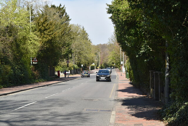
Friezland Wood is a picturesque woodland located in the county of Sussex, England. Covering an area of approximately 100 acres, it is a popular destination for nature lovers and outdoor enthusiasts. The wood is situated in the scenic South Downs National Park, which adds to its charm and natural beauty.
The woodland is predominantly composed of native broadleaf trees, such as oak, ash, and beech, creating a diverse and vibrant ecosystem. These trees provide a habitat for a wide range of flora and fauna, including various bird species, butterflies, and small mammals. The wood is especially renowned for its bluebell displays during springtime, attracting visitors from far and wide to witness the breathtaking carpets of blue flowers that cover the forest floor.
Visitors to Friezland Wood can enjoy a network of well-maintained walking trails that meander through the trees, allowing for peaceful and tranquil strolls in nature. The wood also offers opportunities for birdwatching, photography, and picnicking. There are designated areas where visitors can sit and enjoy the serenity of the surroundings, as well as learn about the wood's history and conservation efforts through informative signage.
Managed by the local forestry commission, Friezland Wood is carefully preserved to maintain its ecological balance and protect its natural heritage. The wood is open to the public throughout the year, with no entry fees, making it an accessible and enjoyable destination for individuals and families seeking a connection with nature.
If you have any feedback on the listing, please let us know in the comments section below.
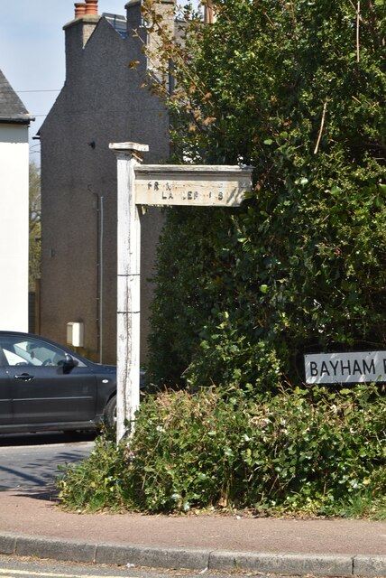
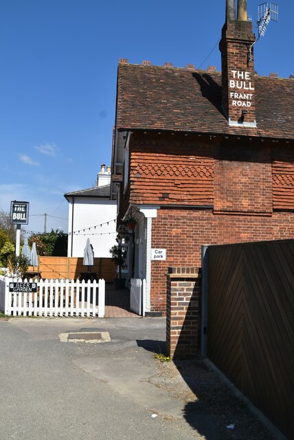
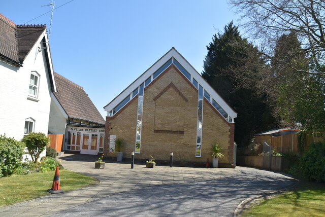
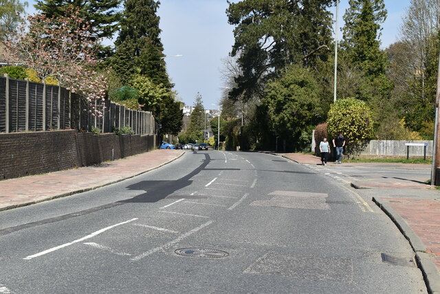
Friezland Wood Images
Images are sourced within 2km of 51.123168/0.23496924 or Grid Reference TQ5638. Thanks to Geograph Open Source API. All images are credited.


Friezland Wood is located at Grid Ref: TQ5638 (Lat: 51.123168, Lng: 0.23496924)
Administrative County: Kent
District: Tunbridge Wells
Police Authority: Kent
What 3 Words
///dozed.lemons.sprains. Near Rusthall, Kent
Nearby Locations
Related Wikis

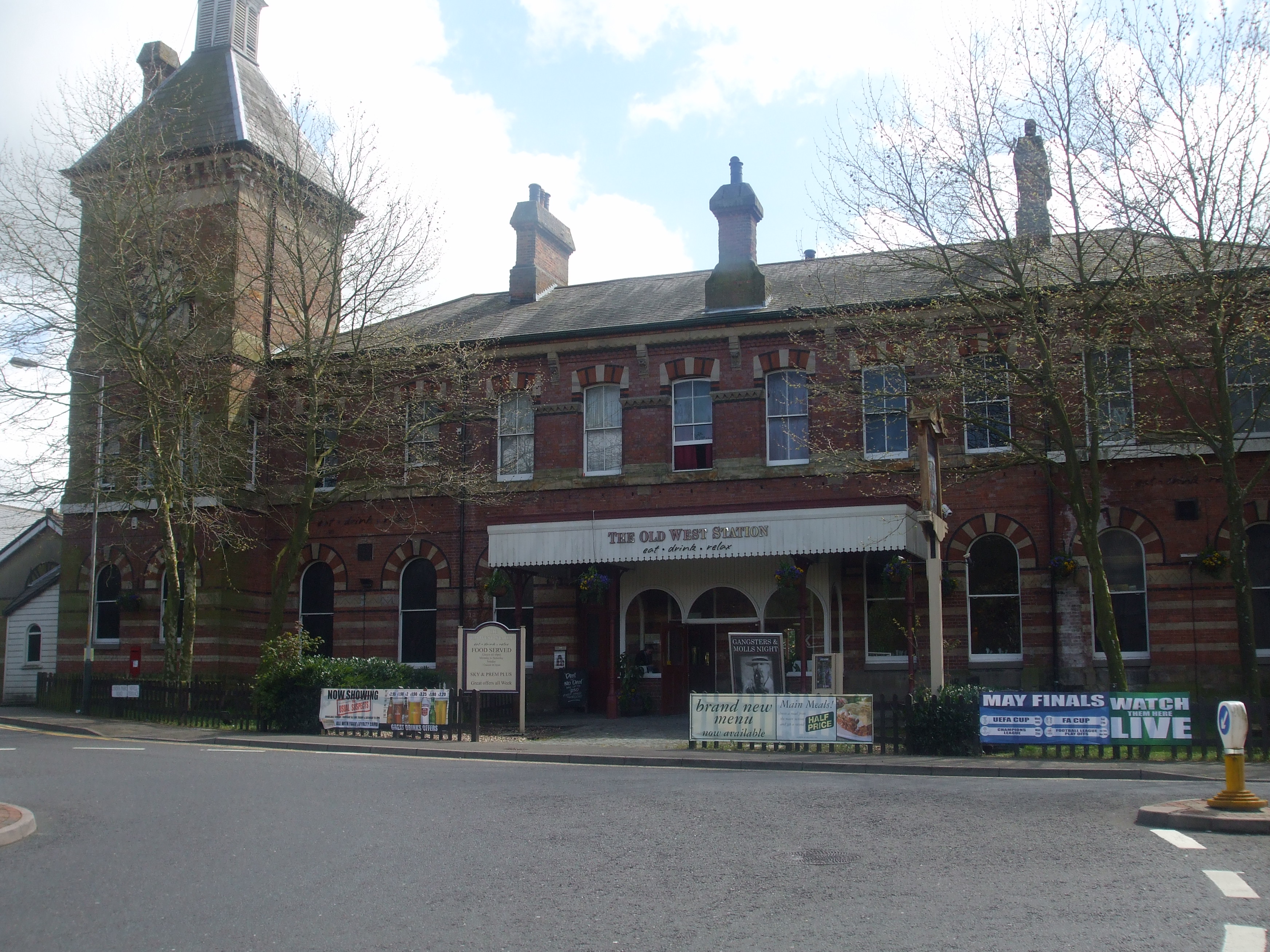
Spa Valley Railway
The Spa Valley Railway (SVR) is a standard gauge heritage railway in England that runs from Tunbridge Wells West railway station in Tunbridge Wells to...
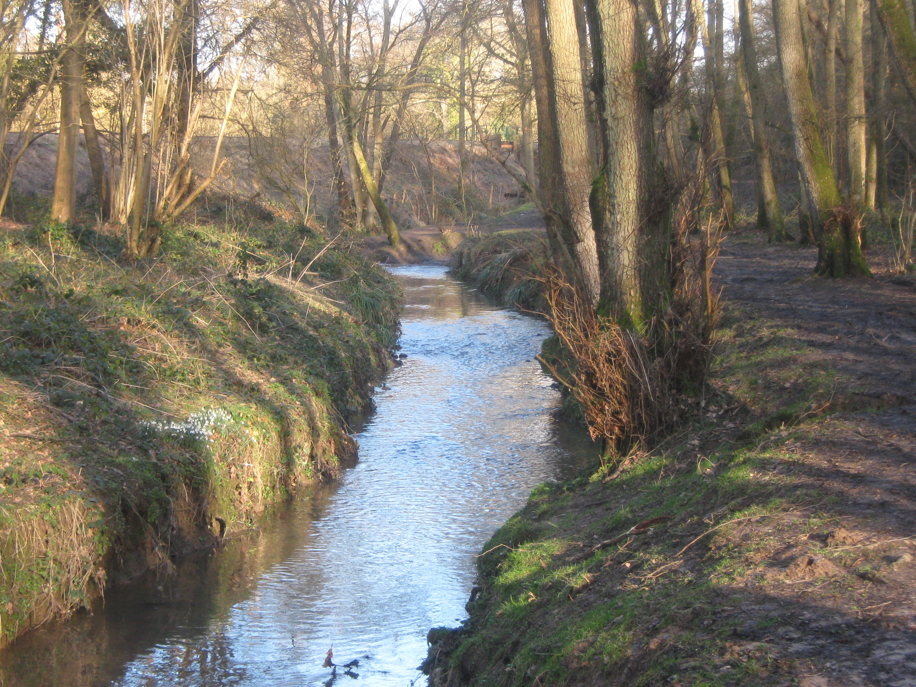
Friezland Wood
Friezland Wood is a woodland in Kent, England, near Tunbridge Wells. It covers a total area of 7.69 hectares (19.00 acres). It is owned and managed by...

High Rocks railway station
High Rocks railway station is a station on the Spa Valley Railway in High Rocks, East Sussex, England. The original High Rocks Halt opened on 1 June 1907...

St Paul's Church, Rusthall
St Paul's Church is a Church of England parish church in Rusthall, Kent, England. It is a Grade II listed building. == History == St Paul's Church was...

Rusthall
Rusthall is a village located approximately 2 miles to the west of the spa town of Tunbridge Wells in Kent. The village grew up around a large property...
Rusthall Common
Rusthall Common is a 2.7-hectare (6.7-acre) geological Site of Special Scientific Interest in Rusthall, a suburb of Tunbridge Wells in Kent. It is a Geological...

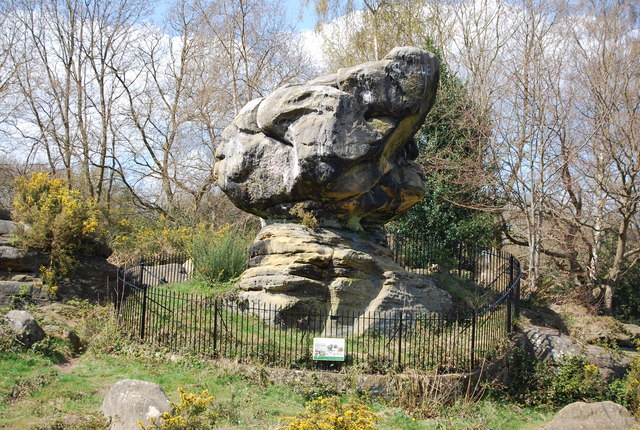
High Rocks
High Rocks is a 3.2-hectare (7.9-acre) geological Site of Special Scientific Interest west of Tunbridge Wells in East Sussex and Kent. It is a Geological...
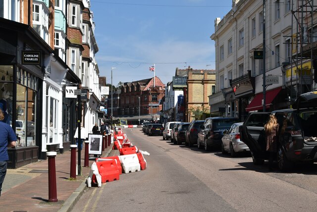
Tunbridge Wells West railway station
Tunbridge Wells West is a railway station located in Royal Tunbridge Wells, Kent. It is one of two railway stations in Tunbridge Wells constructed by rival...
Nearby Amenities
Located within 500m of 51.123168,0.23496924Have you been to Friezland Wood?
Leave your review of Friezland Wood below (or comments, questions and feedback).