Barnett's Wood
Wood, Forest in Kent Sevenoaks
England
Barnett's Wood
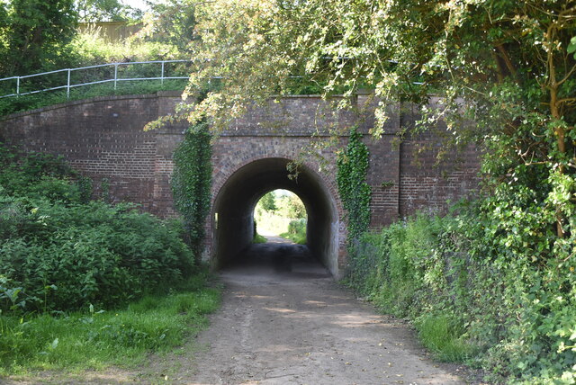
Barnett's Wood, located in Kent, England, is a picturesque woodland area that covers approximately 60 acres. Situated near the village of Southborough, it forms part of the wider High Weald Area of Outstanding Natural Beauty.
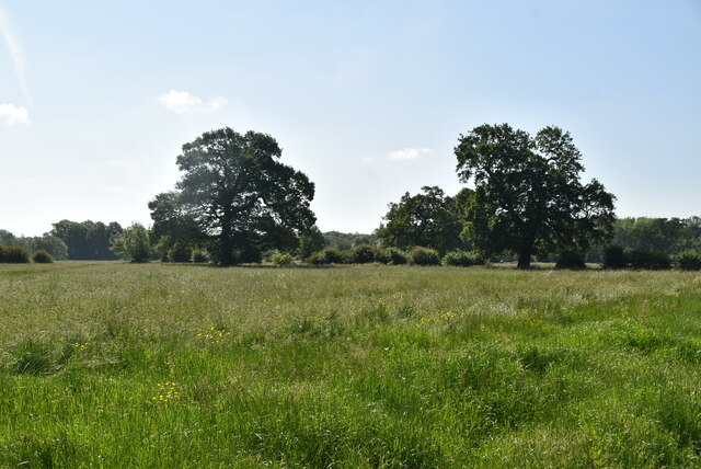
The wood is primarily composed of mixed broadleaf trees, including oak, beech, and birch, creating a diverse and rich ecosystem. The dense canopy provides a haven for numerous bird species, such as tits, finches, and woodpeckers, making it a popular spot for birdwatchers.
The forest floor is adorned with a carpet of bluebells during the spring months, creating a stunning visual display. Alongside the bluebells, visitors can find an array of wildflowers, including primroses, violets, and foxgloves, adding bursts of color to the woodland.
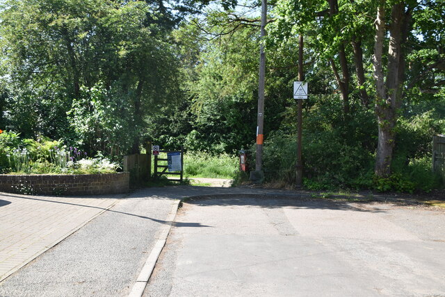
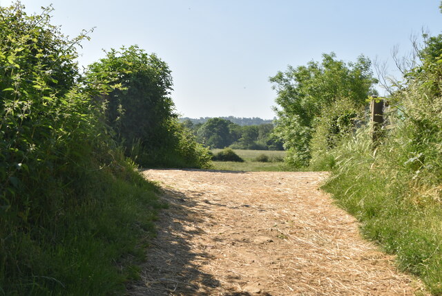
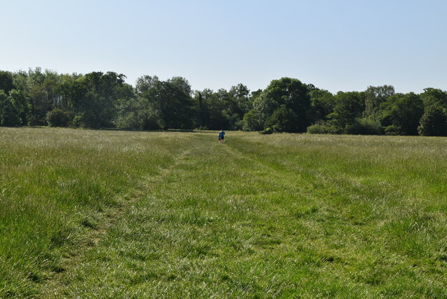
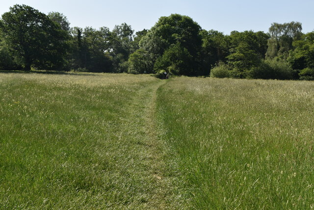
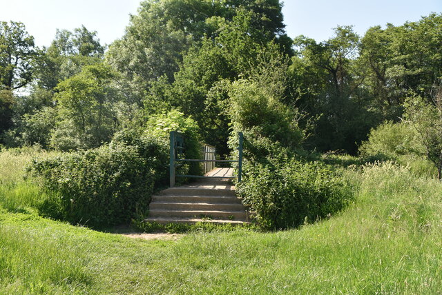
Barnett's Wood offers several walking trails, allowing visitors to explore its tranquil surroundings. These paths wind through the forest, providing opportunities to observe wildlife and immerse oneself in nature. The wood is also home to a diverse range of mammals, including badgers, foxes, and deer.
The wood has a rich history, with evidence of human activity dating back to the Iron Age. It is believed that the area was once used for charcoal production and as a source of timber for construction.
Overall, Barnett's Wood is a serene and enchanting destination for nature lovers and those seeking solace in the beauty of the natural world. Its diverse wildlife, stunning flora, and peaceful atmosphere make it a true gem within the Kent countryside.
If you have any feedback on the listing, please let us know in the comments section below.
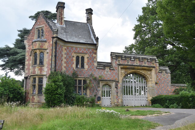
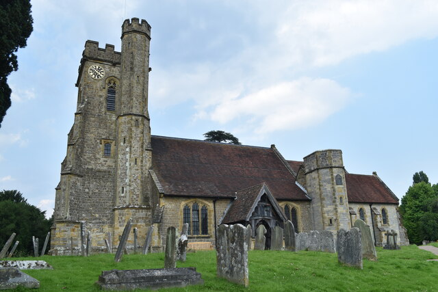
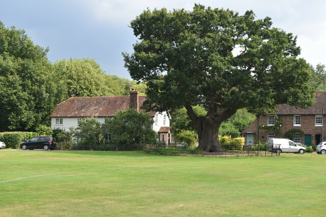
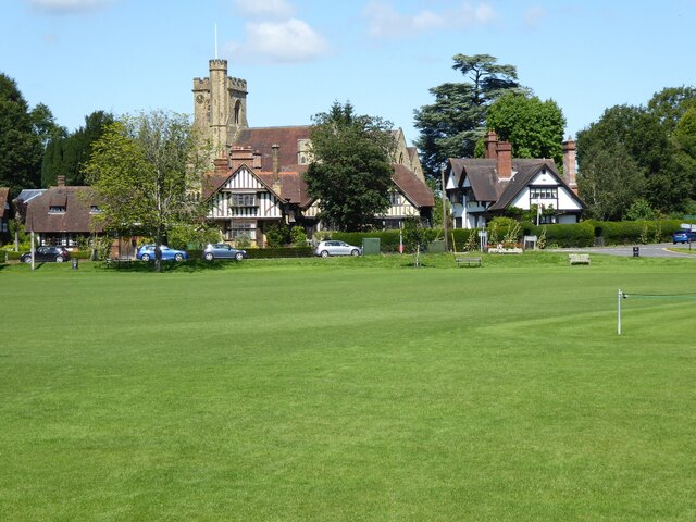
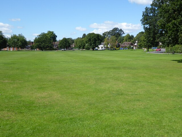
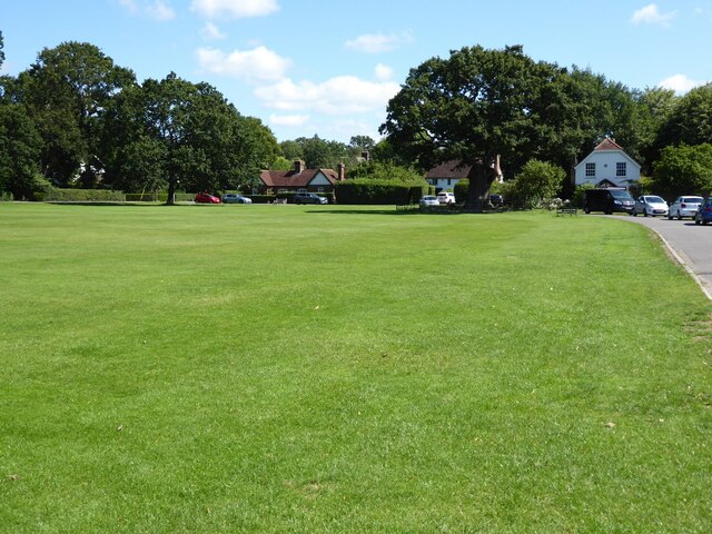
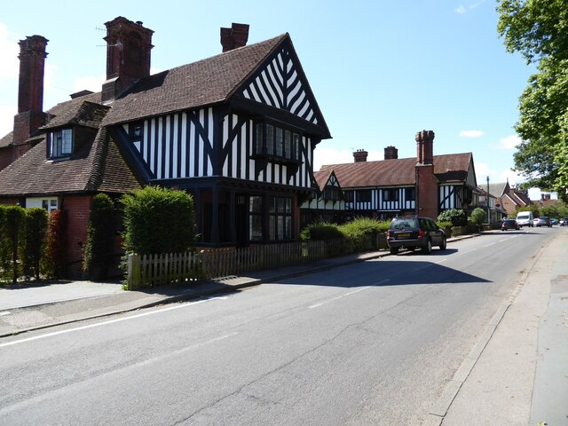
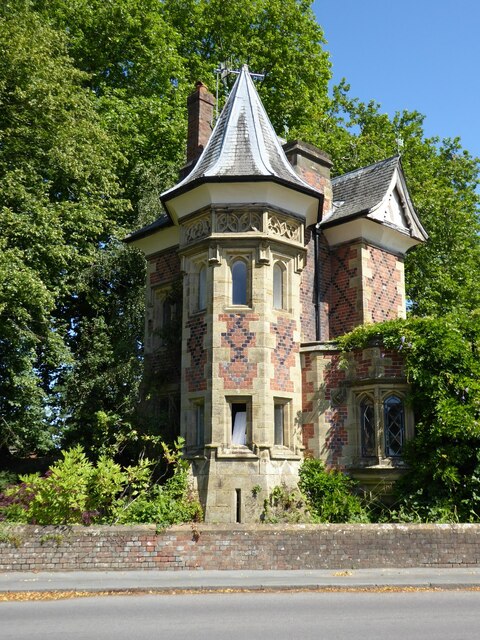
Barnett's Wood Images
Images are sourced within 2km of 51.199991/0.23165735 or Grid Reference TQ5646. Thanks to Geograph Open Source API. All images are credited.
Barnett's Wood is located at Grid Ref: TQ5646 (Lat: 51.199991, Lng: 0.23165735)
Administrative County: Kent
District: Sevenoaks
Police Authority: Kent
What 3 Words
///makes.groups.effort. Near Tonbridge, Kent
Nearby Locations
Related Wikis

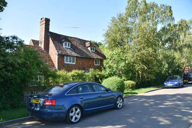
Leigh, Kent
Leigh , historically spelled Lyghe, is a village and a civil parish located in the Sevenoaks district of Kent, England. It is located six miles (10 km...

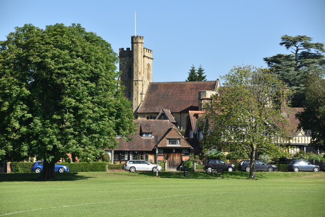
St Mary's Church, Leigh
St Mary's Church is a parish church in Leigh, Kent. The current church was originally completed in the 13th century, although a church is believed to have...
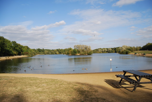
Haysden Country Park
Haysden Country Park is a 64-hectare (160-acre) country park and Local Nature Reserve on the outskirts of Tonbridge in Kent. It is owned by Tonbridge...

Lullingstone Country Park
Lullingstone Country Park is near Eynsford, in Kent, England. A former deer park of a large estate, it was later sold to become an open-space and woodland...

Leigh railway station
Leigh railway station is on the Redhill to Tonbridge Line and serves Leigh in Kent, England. It is 39 miles 56 chains (39.70 miles, 63.89 km) measured...
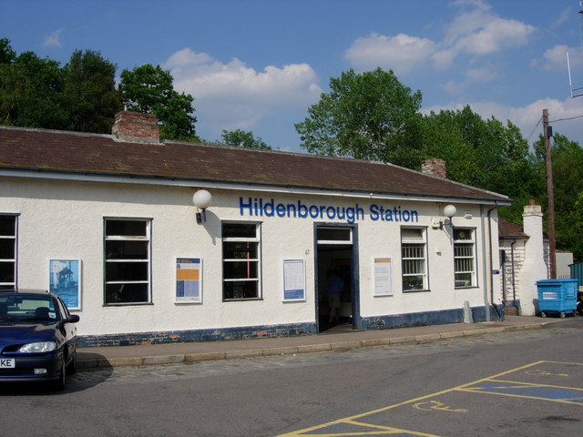
Hildenborough railway station
Hildenborough railway station is on the South Eastern Main Line in England, serving Hildenborough, Kent, and the surrounding villages. It is 27 miles 2...

Hildenborough
Hildenborough is a village and rural parish in the borough of Tonbridge and Malling in Kent, England. It is located 2 miles (3.2 km) north-west of Tonbridge...

Sackville School, Hildenborough
Sackville School is a small profit-making coeducational independent school located in the village of Hildenborough, in Kent, England. == History == Sackville...
Nearby Amenities
Located within 500m of 51.199991,0.23165735Have you been to Barnett's Wood?
Leave your review of Barnett's Wood below (or comments, questions and feedback).