Clarke's Green

Wood, Forest in Kent Sevenoaks

England

Clarke's Green

Footpath and stile near Otford A public footpath and a stile near Otford in Kent.
Footpath and stile near Otford Credit: Malc McDonald

Located in the county of Kent in southeastern England, Clarke's Green is a picturesque and serene wood situated within a larger forest. Nestled amidst the beautiful countryside, this green expanse offers a tranquil retreat for nature lovers and outdoor enthusiasts alike.

Covering an area of approximately 100 acres, Clarke's Green is characterized by its dense and diverse forest vegetation. Towering oak, beech, and birch trees dominate the landscape, providing a lush canopy that offers shade and shelter to a wide range of wildlife. The forest floor is adorned with a rich carpet of ferns, wildflowers, and moss, creating a vibrant and enchanting atmosphere.

The wood is crisscrossed by a network of footpaths and trails, allowing visitors to explore its natural wonders. Hikers and walkers can immerse themselves in the peaceful surroundings, breathing in the fresh air and listening to the melodic sounds of birdsong. Additionally, the wood offers opportunities for wildlife spotting, with sightings of deer, foxes, and a variety of bird species being common.

Clarke's Green is not only a haven for flora and fauna but also a place of historical significance. The wood has a long-standing connection to the local community, with records of human activity dating back centuries. It has witnessed the passing of time, silently preserving its natural beauty and providing a glimpse into the past.

Overall, Clarke's Green in Kent is a captivating woodland oasis, offering a respite from the hustle and bustle of modern life. Its lush vegetation, abundant wildlife, and historical significance make it a truly remarkable destination for those seeking solace in nature.

If you have any feedback on the listing, please let us know in the comments section below.

Clarke's Green Images

Images are sourced within 2km of 51.320939/0.23742326 or Grid Reference TQ5660. Thanks to Geograph Open Source API. All images are credited.

Footpath and stile near Otford A public footpath and a stile near Otford in Kent.
Footpath and stile near Otford
A public footpath and a stile near Otford in Kent.
Public footpath near Otford A sign for a public footpath near Otford, Kent.
Public footpath near Otford
A sign for a public footpath near Otford, Kent.
Houses in Magpie Bottom
View towards mast at Porters Farm
Footpath above Austin Lodge Golf Course This pleasant footpath along the eastern side of the valley which contains Austin Lodge Golf Course provides views back to Shooters Hill, Canary Wharf and the City of London, including The Shard.
Footpath above Austin Lodge Golf Course
This pleasant footpath along the eastern side of the valley which contains Austin Lodge Golf Course provides views back to Shooters Hill, Canary Wharf and the City of London, including The Shard.
On the way to Romney Street This pleasant footpath along the eastern side of the valley which contains Austin Lodge Golf Course seems a long way from any facilities for walkers. Just ahead, though, a right turn brings you to Romney Street and The Fox and Hounds pub. Signs along the whole length of the path confirm you are on the right track.
On the way to Romney Street
This pleasant footpath along the eastern side of the valley which contains Austin Lodge Golf Course seems a long way from any facilities for walkers. Just ahead, though, a right turn brings you to Romney Street and The Fox and Hounds pub. Signs along the whole length of the path confirm you are on the right track.
The Fox and Hounds at Romney Street Romney Street seems very remote. This is not the sort of pub you would probably chance across although anyone following the footpath from Upper Austin Lodge and Austin Lodge Golf Course have frequent signs saying that The Fox and Hounds is ahead - see <a title="https://www.geograph.org.uk/photo/4009424" href="https://www.geograph.org.uk/photo/4009424">Link</a>  For the attractive pub sign see <a title="https://www.geograph.org.uk/photo/4009451" href="https://www.geograph.org.uk/photo/4009451">Link</a>

2016 update - the pub has now closed and has been converted into housing.
The Fox and Hounds at Romney Street
Romney Street seems very remote. This is not the sort of pub you would probably chance across although anyone following the footpath from Upper Austin Lodge and Austin Lodge Golf Course have frequent signs saying that The Fox and Hounds is ahead - see Link For the attractive pub sign see Link 2016 update - the pub has now closed and has been converted into housing.
The sign for The Fox and Hounds at Romney Street An attractive but fairly unlikely scene. The pub itself can be seen at <a title="https://www.geograph.org.uk/photo/4009431" href="https://www.geograph.org.uk/photo/4009431">Link</a>

2016 update - the pub has now closed and has been converted into housing, although the sign is still there.
The sign for The Fox and Hounds at Romney Street
An attractive but fairly unlikely scene. The pub itself can be seen at Link 2016 update - the pub has now closed and has been converted into housing, although the sign is still there.
The Fox and Hounds at Romney Street Romney Street seems very remote. This is not the sort of pub you would probably chance across although anyone following the footpath from Upper Austin Lodge and Austin Lodge Golf Course have frequent signs saying that The Fox and Hounds is ahead - see <a title="https://www.geograph.org.uk/photo/4009424" href="https://www.geograph.org.uk/photo/4009424">Link</a>  For the attractive pub sign see <a title="https://www.geograph.org.uk/photo/4009451" href="https://www.geograph.org.uk/photo/4009451">Link</a>

2016 update - the pub has now closed and has been converted into housing.
The Fox and Hounds at Romney Street
Romney Street seems very remote. This is not the sort of pub you would probably chance across although anyone following the footpath from Upper Austin Lodge and Austin Lodge Golf Course have frequent signs saying that The Fox and Hounds is ahead - see Link For the attractive pub sign see Link 2016 update - the pub has now closed and has been converted into housing.
Austin Lodge Golf Course Upper Austin Lodge Road leads from the A225 past Eynsford station to Upper Austin Lodge which is the last hamlet up the valley. Beyond there a footpath and track passes through Austin Lodge Golf Course and then continues along the side of the valley above the golf course - see <a title="https://www.geograph.org.uk/photo/4009875" href="https://www.geograph.org.uk/photo/4009875">Link</a>  Here a footpath from Romney Street to Shoreham drops down to the bottom of the valley and then up to the other side at Austin Spring. 

This is the view from near Austin Spring looking across the head of the valley. The houses are at Magpie Bottom which has road access between Knatts Valley and the Darenth Valley.
Austin Lodge Golf Course
Upper Austin Lodge Road leads from the A225 past Eynsford station to Upper Austin Lodge which is the last hamlet up the valley. Beyond there a footpath and track passes through Austin Lodge Golf Course and then continues along the side of the valley above the golf course - see Link Here a footpath from Romney Street to Shoreham drops down to the bottom of the valley and then up to the other side at Austin Spring. This is the view from near Austin Spring looking across the head of the valley. The houses are at Magpie Bottom which has road access between Knatts Valley and the Darenth Valley.
Austin Lodge Golf Course Upper Austin Lodge Road leads from the A225 past Eynsford station to Upper Austin Lodge which is the last hamlet up the valley. Beyond there a footpath and track passes through Austin Lodge Golf Course and then continues along the side of the valley above the golf course - see <a title="https://www.geograph.org.uk/photo/4009875" href="https://www.geograph.org.uk/photo/4009875">Link</a>  Here a footpath from Romney Street to Shoreham drops down to the bottom of the valley and then up to the other side at Austin Spring. 

This is the view from near Austin Spring looking back across the valley. The path on the other side can be seen just above the bunker. For the view looking the other way see <a title="https://www.geograph.org.uk/photo/4010139" href="https://www.geograph.org.uk/photo/4010139">Link</a>
Austin Lodge Golf Course
Upper Austin Lodge Road leads from the A225 past Eynsford station to Upper Austin Lodge which is the last hamlet up the valley. Beyond there a footpath and track passes through Austin Lodge Golf Course and then continues along the side of the valley above the golf course - see Link Here a footpath from Romney Street to Shoreham drops down to the bottom of the valley and then up to the other side at Austin Spring. This is the view from near Austin Spring looking back across the valley. The path on the other side can be seen just above the bunker. For the view looking the other way see Link
The setting of St Mary's, Woodlands Pevsner states it well: "At the furthest end of Knatts Valley in a position that is still amazingly remote, Talbot Bury built in 1851-2 what was to be the nucleus of a new parish of Woodlands, i.e. church, school and vicarage, all three with bell-gables, the school mimicking the shape of the church. Major Vincent, a surgeon at Guy's Hospital, paid for the church."

It is still remote and it is quite a surprise in these hills and valleys with their quiet lanes to suddenly come across the church and newly-restored hall next door. The church now comes under the parish of Kemsing. This view is from a footpath that heads south out of the valley to reach Cotman's Ash Lane.
The setting of St Mary's, Woodlands
Pevsner states it well: "At the furthest end of Knatts Valley in a position that is still amazingly remote, Talbot Bury built in 1851-2 what was to be the nucleus of a new parish of Woodlands, i.e. church, school and vicarage, all three with bell-gables, the school mimicking the shape of the church. Major Vincent, a surgeon at Guy's Hospital, paid for the church." It is still remote and it is quite a surprise in these hills and valleys with their quiet lanes to suddenly come across the church and newly-restored hall next door. The church now comes under the parish of Kemsing. This view is from a footpath that heads south out of the valley to reach Cotman's Ash Lane.
St Mary's, Woodlands Pevsner states it well: "At the furthest end of Knatts Valley in a position that is still amazingly remote, Talbot Bury built in 1851-2 what was to be the nucleus of a new parish of Woodlands, i.e. church, school and vicarage, all three with bell-gables, the school mimicking the shape of the church. Major Vincent, a surgeon at Guy's Hospital, paid for the church."

It is still remote and it is quite a surprise in these hills and valleys with their quiet lanes to suddenly come across the church and newly-restored hall next door. The church now comes under the parish of Kemsing. This view is from higher up the churchyard which rises up the hillside to the south.
St Mary's, Woodlands
Pevsner states it well: "At the furthest end of Knatts Valley in a position that is still amazingly remote, Talbot Bury built in 1851-2 what was to be the nucleus of a new parish of Woodlands, i.e. church, school and vicarage, all three with bell-gables, the school mimicking the shape of the church. Major Vincent, a surgeon at Guy's Hospital, paid for the church." It is still remote and it is quite a surprise in these hills and valleys with their quiet lanes to suddenly come across the church and newly-restored hall next door. The church now comes under the parish of Kemsing. This view is from higher up the churchyard which rises up the hillside to the south.
Inside St Mary's Church, Woodlands Pevsner states it well: "At the furthest end of Knatts Valley in a position that is still amazingly remote, Talbot Bury built in 1851-2 what was to be the nucleus of a new parish of Woodlands, i.e. church, school and vicarage, all three with bell-gables, the school mimicking the shape of the church. Major Vincent, a surgeon at Guy's Hospital, paid for the church."

It is still remote and it is quite a surprise in these hills and valleys with their quiet lanes to suddenly come across the church and newly-restored hall next door. The church now comes under the parish of Kemsing. This view looks towards the altar at the east end.
Inside St Mary's Church, Woodlands
Pevsner states it well: "At the furthest end of Knatts Valley in a position that is still amazingly remote, Talbot Bury built in 1851-2 what was to be the nucleus of a new parish of Woodlands, i.e. church, school and vicarage, all three with bell-gables, the school mimicking the shape of the church. Major Vincent, a surgeon at Guy's Hospital, paid for the church." It is still remote and it is quite a surprise in these hills and valleys with their quiet lanes to suddenly come across the church and newly-restored hall next door. The church now comes under the parish of Kemsing. This view looks towards the altar at the east end.
Inside St Mary's Church, Woodlands Pevsner states it well: "At the furthest end of Knatts Valley in a position that is still amazingly remote, Talbot Bury built in 1851-2 what was to be the nucleus of a new parish of Woodlands, i.e. church, school and vicarage, all three with bell-gables, the school mimicking the shape of the church. Major Vincent, a surgeon at Guy's Hospital, paid for the church."

It is still remote and it is quite a surprise in these hills and valleys with their quiet lanes to suddenly come across the church and newly-restored hall next door. The church now comes under the parish of Kemsing. This view looks towards the west end of the church.
Inside St Mary's Church, Woodlands
Pevsner states it well: "At the furthest end of Knatts Valley in a position that is still amazingly remote, Talbot Bury built in 1851-2 what was to be the nucleus of a new parish of Woodlands, i.e. church, school and vicarage, all three with bell-gables, the school mimicking the shape of the church. Major Vincent, a surgeon at Guy's Hospital, paid for the church." It is still remote and it is quite a surprise in these hills and valleys with their quiet lanes to suddenly come across the church and newly-restored hall next door. The church now comes under the parish of Kemsing. This view looks towards the west end of the church.
Looking along Knatts Valley Road The Old Stables is just ahead on the right. Continuing along Knatts Valley Road brings you to the main part of Knatts Valley - the woodland in the distance on the side of the valley is the same woodland as seen at <a title="https://www.geograph.org.uk/photo/4059094" href="https://www.geograph.org.uk/photo/4059094">Link</a>
Looking along Knatts Valley Road
The Old Stables is just ahead on the right. Continuing along Knatts Valley Road brings you to the main part of Knatts Valley - the woodland in the distance on the side of the valley is the same woodland as seen at Link
Track to Knatts Farm This view is from Knatts Valley Road near Knatts Lane.
Track to Knatts Farm
This view is from Knatts Valley Road near Knatts Lane.
Show me another place!

Clarke's Green is located at Grid Ref: TQ5660 (Lat: 51.320939, Lng: 0.23742326)

Administrative County: Kent

District: Sevenoaks

Police Authority: Kent

What 3 Words

///issue.papers.models. Near Kemsing, Kent

Related Wikis

Kemsing Down

Kemsing Down is a 16-hectare (40-acre) nature reserve north of Sevenoaks in Kent. It is managed by the Kent Wildlife Trust. It is in the Kent Downs Area...

Romney Street

Romney Street is a hamlet in the civil parish of Shoreham, in the Sevenoaks district, in the English county of Kent. == Location == It is about 4 miles...

Knatts Valley

Knatts Valley is a hamlet situated in the West Kingsdown civil parish in the county of Kent, England. It was originally a rural community consisting mainly...

Magpie Bottom

Magpie Bottom is a 51.9-hectare (128-acre) biological Site of Special Scientific Interest north of Sevenoaks in Kent.This steeply sloping area of chalk...

Kemsing

Kemsing is a village and civil parish in the Sevenoaks district of Kent, England. The parish lies on the scarp face of the North Downs, 20 miles south...

Heaverham

Heaverham is a hamlet in the Sevenoaks district, in the county of Kent, England. Nearby is the country estate of St Clere. == Location == It is located...

East Hill, Kent

East Hill is a hamlet in the civil parish of West Kingsdown, in the Sevenoaks District, in the county of Kent in England. == Location == East Hill is about...

St Clere, Kent

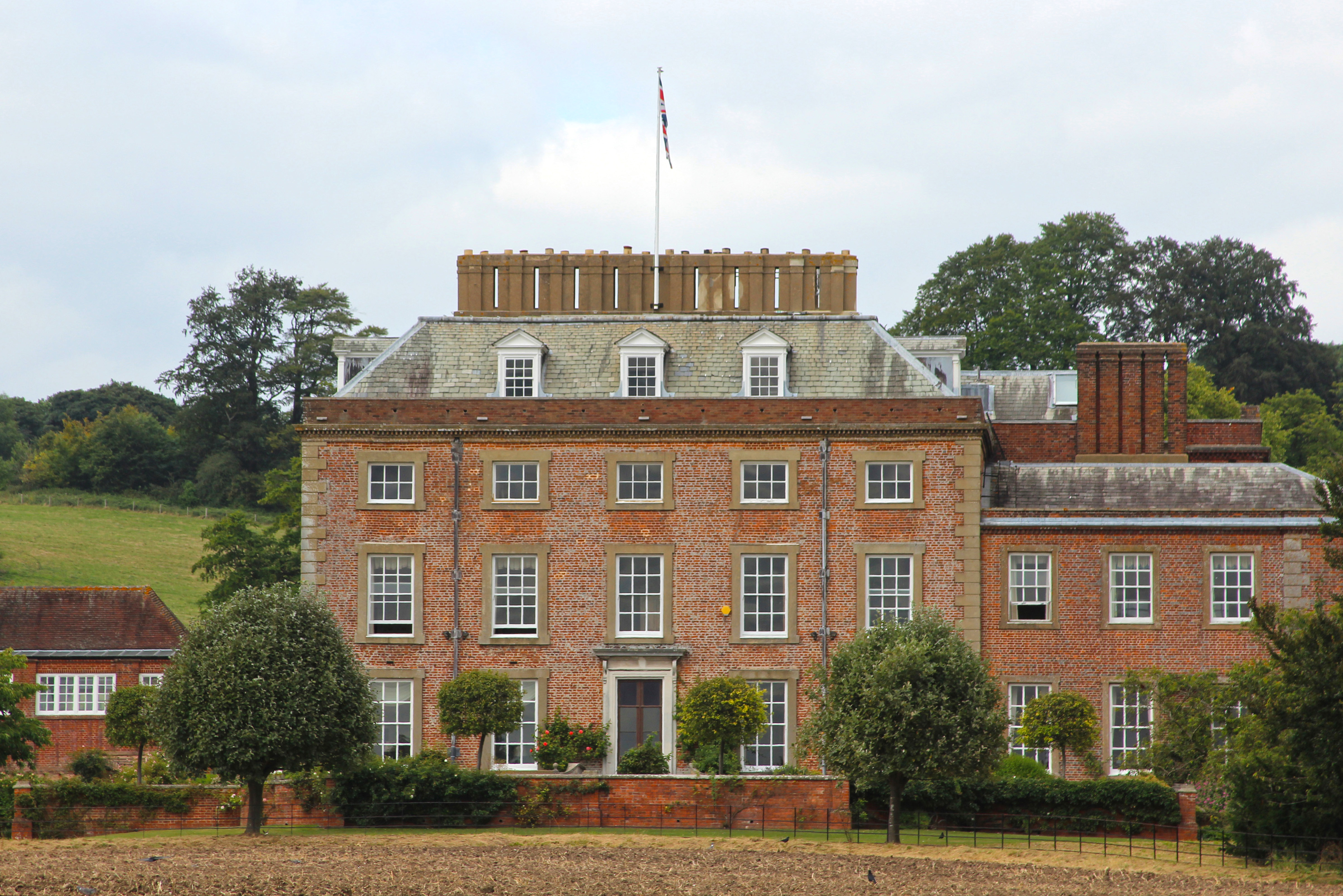
St Clere is a Grade I listed 17th-century country house in Kemsing, Kent, England. The house is built in brick in three storeys plus basement and attic...

Nearby Amenities

Located within 500m of 51.320939,0.23742326
Clarke's Green
Lat/Long: 51.3212346/0.2353775
Pub
The Rising Sun
Addr Postcode: TN15 6XD
Addr Street: Cotmans Ash Lane
Alt Name: The Rising Sun Public House
Fhrs Id: 266621
Source Addr: FHRS Open Data
Lat/Long: 51.3174134/0.241502
Clarke's Bottom
Place: hamlet
Lat/Long: 51.3211769/0.2360193
Cafe
Woodlands Cafe
Opening Hours: Sa 11:00-15:00
Lat/Long: 51.3234508/0.2432221
Barrier: stile
Lat/Long: 51.3234447/0.2426672
The data included in this document is from www.openstreetmap.org. The data is made available under ODbL.

Have you been to Clarke's Green?

Leave your review of Clarke's Green below (or comments, questions and feedback).