Thirteen Acre Shaw
Wood, Forest in Kent Tunbridge Wells
England
Thirteen Acre Shaw

Thirteen Acre Shaw, located in Kent, England, is a picturesque wood or forest covering an area of approximately 13 acres. It is nestled within the beautiful countryside of the southeastern part of the county, offering a serene and tranquil environment for nature enthusiasts and those seeking a peaceful retreat.
The wood is characterized by its abundant tree cover, primarily consisting of native species such as oak, beech, and birch. These tall and majestic trees create a dense canopy, providing shade and shelter to a variety of flora and fauna that call the shaw their home. The woodland floor is adorned with a diverse array of plants, including bluebells, wild garlic, and ferns, adding to the natural beauty of the area.
Thirteen Acre Shaw boasts a network of well-maintained footpaths and trails that wind their way through the wood, allowing visitors to explore and appreciate the enchanting surroundings. The paths are suitable for both leisurely strolls and more challenging hikes, accommodating individuals of all fitness levels.
The shaw is teeming with wildlife, making it a haven for nature lovers and birdwatchers. From songbirds to woodpeckers, and even the occasional sighting of deer, there is always something to marvel at in this woodland sanctuary.
Thirteen Acre Shaw is a popular destination for outdoor activities such as picnicking, photography, and nature study. It offers a peaceful escape from the hustle and bustle of everyday life, providing a harmonious connection with nature and an opportunity to immerse oneself in the tranquility of the natural world.
If you have any feedback on the listing, please let us know in the comments section below.
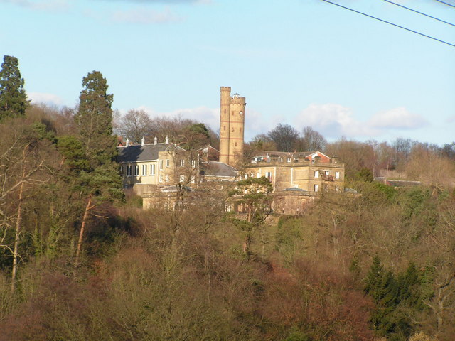
Thirteen Acre Shaw Images
Images are sourced within 2km of 51.162962/0.22991242 or Grid Reference TQ5642. Thanks to Geograph Open Source API. All images are credited.


Thirteen Acre Shaw is located at Grid Ref: TQ5642 (Lat: 51.162962, Lng: 0.22991242)
Administrative County: Kent
District: Tunbridge Wells
Police Authority: Kent
What 3 Words
///reinforce.mammals.insulated. Near Speldhurst, Kent
Nearby Locations
Related Wikis

Bidborough Windmill
Bidborough Mill is a Grade II listed, house converted tower mill west of Bidborough, Kent, England. It is now incorporated into a housing development called...
Bidborough
Bidborough is a village and civil parish in the borough of Tunbridge Wells in Kent, England, north of Royal Tunbridge Wells and south of Tonbridge. According...

Speldhurst
Speldhurst is a village and civil parish in the borough of Tunbridge Wells in Kent, England. The parish is to the west of Tunbridge Wells: the village...
Salomons Museum
The Salomons Museum is a museum north of Tunbridge Wells, in the county of Kent, southeast England. It preserves the country house of Sir David Salomons...
B. M. Close's Ground
B. M. Close's Ground was a cricket ground at Southborough in the English county of Kent. The ground was established in 1859 by Robert Winnifrith on land...

Royal Victoria Hall, Southborough
Royal Victoria Hall, Kent was historically notable as the first Municipally funded theatre in England. It stood on London Road, Southborough, Kent and...

Poundsbridge Manor
Poundsbridge Manor, nicknamed "The Picture House", is an oak timber-framed house built in 1593 by John and Brian Durtnall for their father William, Rector...

Southborough, Kent
Southborough is a town and civil parish in the borough of Tunbridge Wells in Kent, England. It lies immediately to the north of the town of Tunbridge...
Related Videos
Leigh and Penshurst walk | Countryside near London | Drone Views 4K | 🇬🇧 Hiking UK | England
The Eden valley, Penshurst Place and a rural pub for lunch. This walk starts at Leigh station and heads west through parkland to ...

swcwalks, book 1, walk 15, Leigh to Tunbridge Wells. 14/4/22
A return to an old haunt, after an absence of 12 years! This one being in Leigh, Kent, to walk the 11.7 miles to Tunbridge Wells.

Walkies Hurst Woods Autumn 2020
Tunbridge Wells Hurst Woods.

Holiday Club @ Forest Church
fun, games, Jesus, Bible, crafts, outdoors, did I mention Fun? scavenger hunt.
Nearby Amenities
Located within 500m of 51.162962,0.22991242Have you been to Thirteen Acre Shaw?
Leave your review of Thirteen Acre Shaw below (or comments, questions and feedback).