Rook Wood
Wood, Forest in Kent Sevenoaks
England
Rook Wood
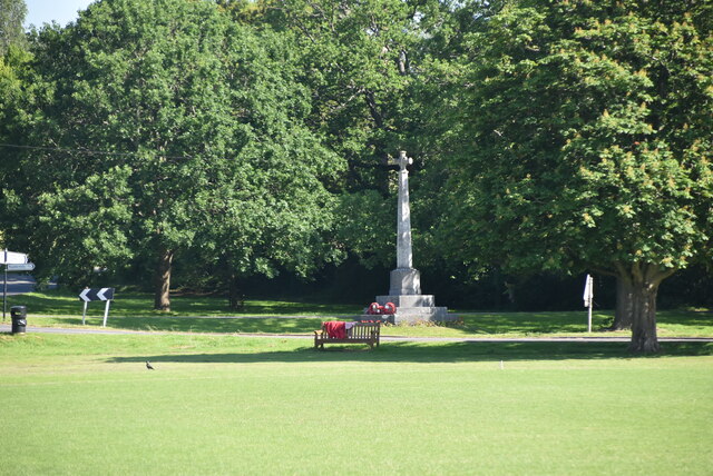
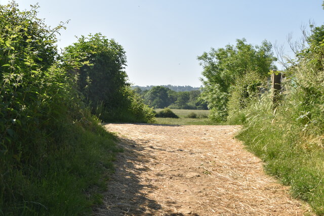
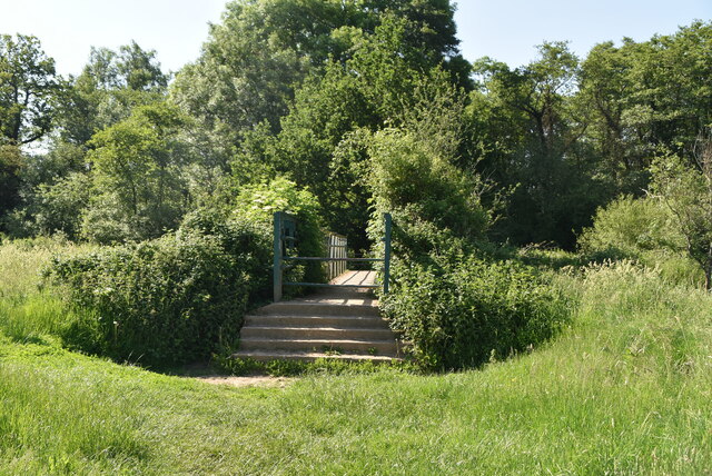
Rook Wood, Kent, also known as Wood, Forest, is a picturesque woodland located in the county of Kent, England. Covering an area of approximately 500 acres, it is a designated Site of Special Scientific Interest (SSSI) due to its rich biodiversity and unique natural features.
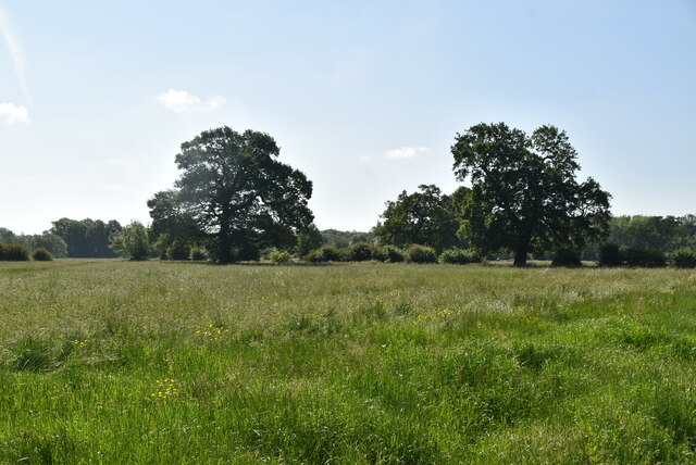
The woodland is predominantly composed of ancient oak and beech trees, creating a dense canopy that provides shade and shelter for a wide variety of flora and fauna. The forest floor is carpeted with bluebells in the spring, creating a stunning display of vibrant colors. Moreover, Rook Wood is home to many rare and endangered species, including the lesser spotted woodpecker and the dormouse.
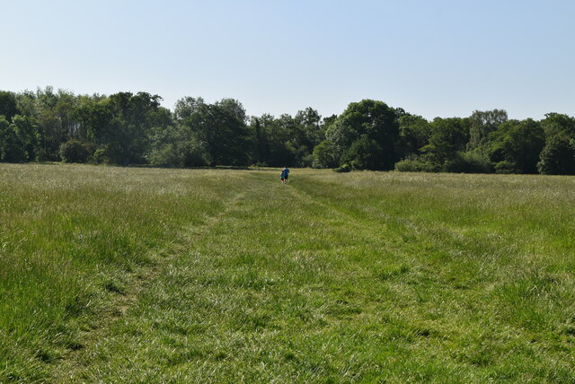
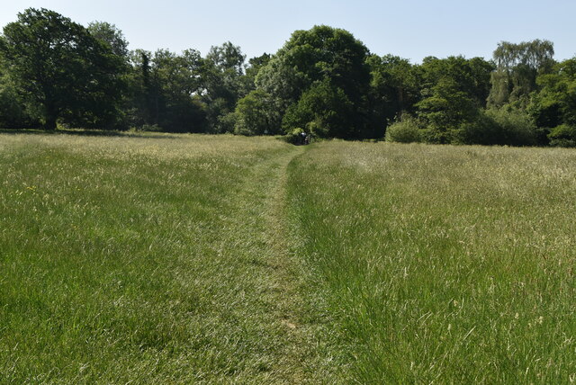
The wood is crisscrossed by a network of walking trails, allowing visitors to explore the diverse habitats and enjoy the tranquility of the natural surroundings. These trails range in difficulty, from gentle strolls to more challenging hikes. Along the way, visitors may encounter hidden ponds, babbling brooks, and even the occasional deer or fox.
Rook Wood offers something for everyone, whether it be nature enthusiasts, photographers, or families looking for a peaceful outing. The forest provides an escape from the hustle and bustle of modern life, offering a serene and tranquil environment. Visitors are encouraged to respect the wood's delicate ecosystem and adhere to any guidelines set forth by the managing authorities to ensure the preservation of this natural gem for future generations.
If you have any feedback on the listing, please let us know in the comments section below.
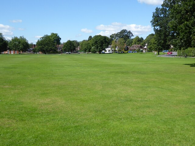
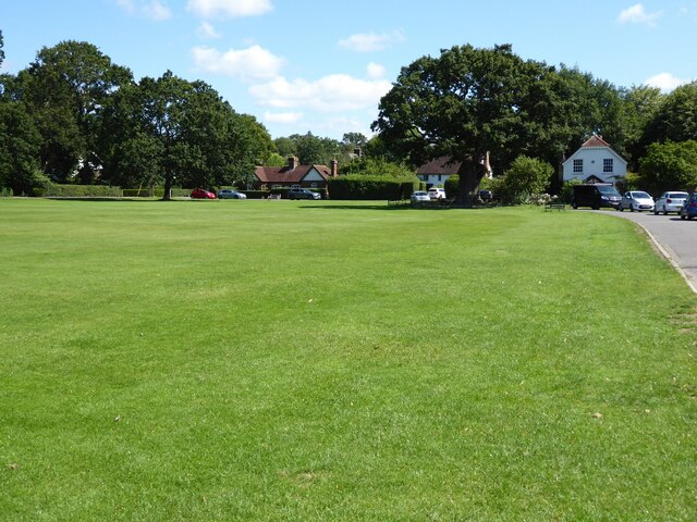
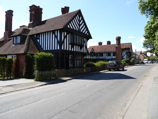
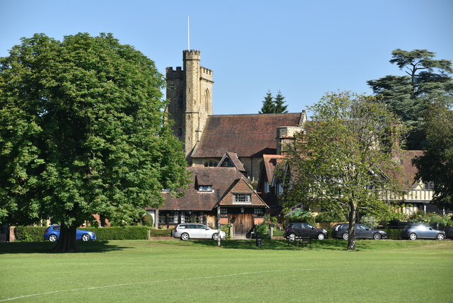
Rook Wood Images
Images are sourced within 2km of 51.198318/0.24151058 or Grid Reference TQ5646. Thanks to Geograph Open Source API. All images are credited.

Rook Wood is located at Grid Ref: TQ5646 (Lat: 51.198318, Lng: 0.24151058)
Administrative County: Kent
District: Sevenoaks
Police Authority: Kent
What 3 Words
///await.sooner.school. Near Tonbridge, Kent
Nearby Locations
Related Wikis
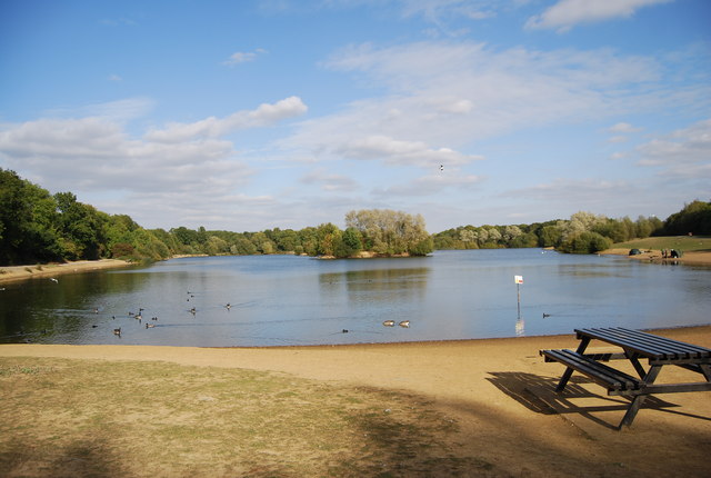
Haysden Country Park
Haysden Country Park is a 64-hectare (160-acre) country park and Local Nature Reserve on the outskirts of Tonbridge in Kent. It is owned by Tonbridge...

Lullingstone Country Park
Lullingstone Country Park is near Eynsford, in Kent, England. A former deer park of a large estate, it was later sold to become an open-space and woodland...
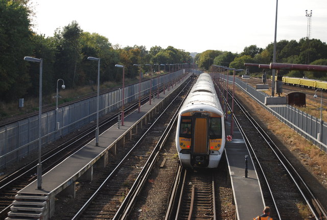
Tonbridge Jubilee Sidings
Tonbridge Jubilee Sidings are located in Tonbridge, Kent, England, on the Redhill to Tonbridge Line to the west of Tonbridge station. == Present == Stabling...

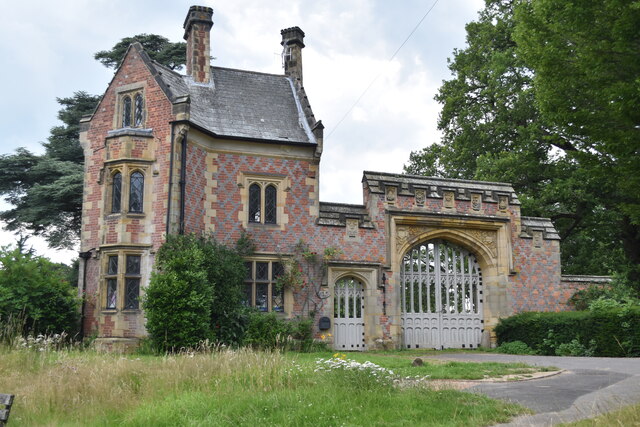
Leigh, Kent
Leigh , historically spelled Lyghe, is a village and a civil parish located in the Sevenoaks district of Kent, England. It is located six miles (10 km...

Oast Theatre, Tonbridge
The Oast Theatre is situated on the outskirts of Tonbridge, Kent. It is a small theatre that is based in an old oast house. It is home to the Tonbridge...

Hildenborough
Hildenborough is a village and rural parish in the borough of Tonbridge and Malling in Kent, England. It is located 2 miles (3.2 km) north-west of Tonbridge...
Leigh Academy Tonbridge
Leigh Academy Tonbridge, formerly Hayesbrook School, is a non-selective secondary school with academy status in Tonbridge, Kent, United Kingdom. It has...

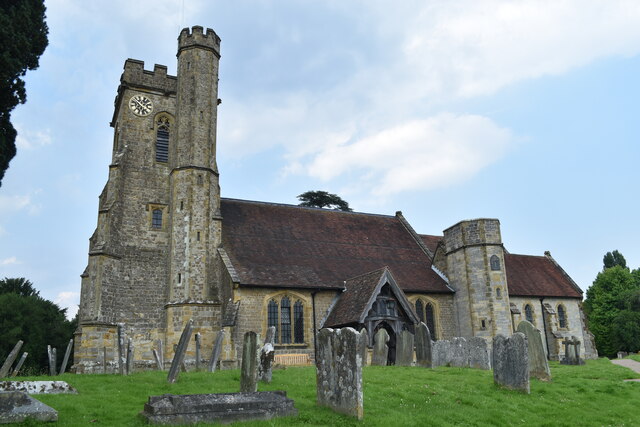
St Mary's Church, Leigh
St Mary's Church is a parish church in Leigh, Kent. The current church was originally completed in the 13th century, although a church is believed to have...
Nearby Amenities
Located within 500m of 51.198318,0.24151058Have you been to Rook Wood?
Leave your review of Rook Wood below (or comments, questions and feedback).