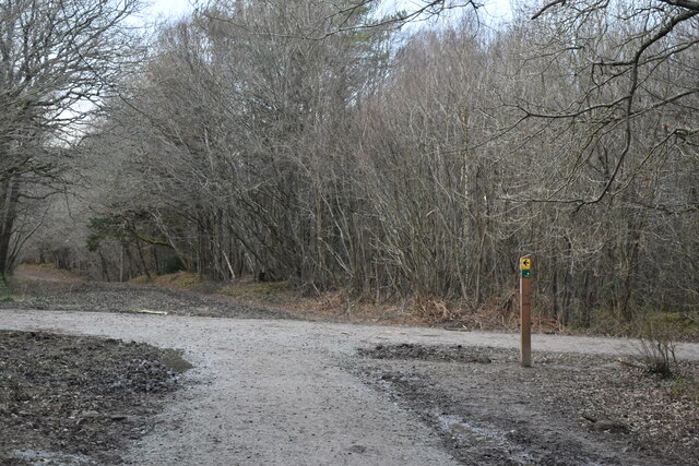
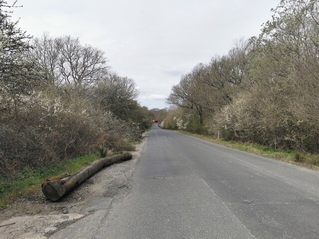
Gate Wood
Wood, Forest in Sussex Wealden
England
Gate Wood
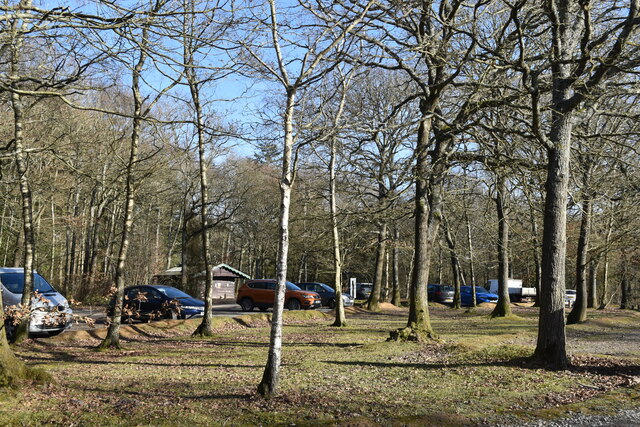
Gate Wood is a charming forest located in Sussex, England. This beautiful woodland is situated in the South Downs National Park, covering an area of approximately 200 acres. It is renowned for its lush greenery, diverse flora, and tranquil atmosphere.
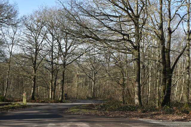
The woodland is predominantly made up of a variety of deciduous trees such as oak, beech, and ash, creating a picturesque landscape that changes with the seasons. In spring, vibrant bluebells carpet the forest floor, while autumn paints the trees in a dazzling array of reds, oranges, and yellows.
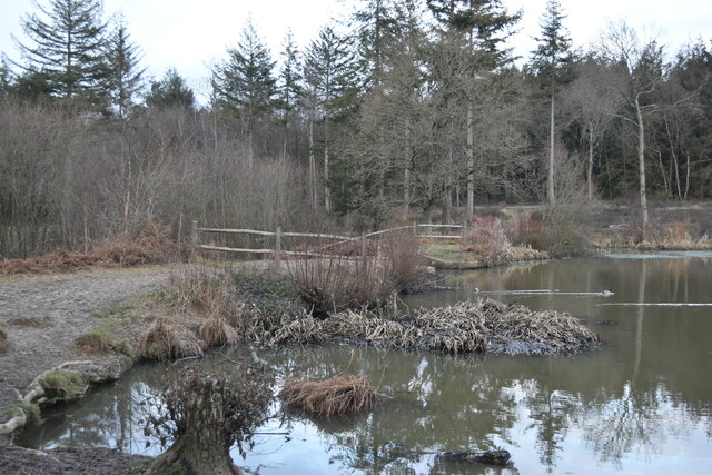
Gate Wood offers a haven for wildlife enthusiasts, as it is home to a diverse range of fauna. Visitors may catch glimpses of deer gracefully wandering through the trees, while squirrels playfully scamper along the branches. The forest is also a sanctuary for numerous bird species, making it a popular spot for birdwatchers.
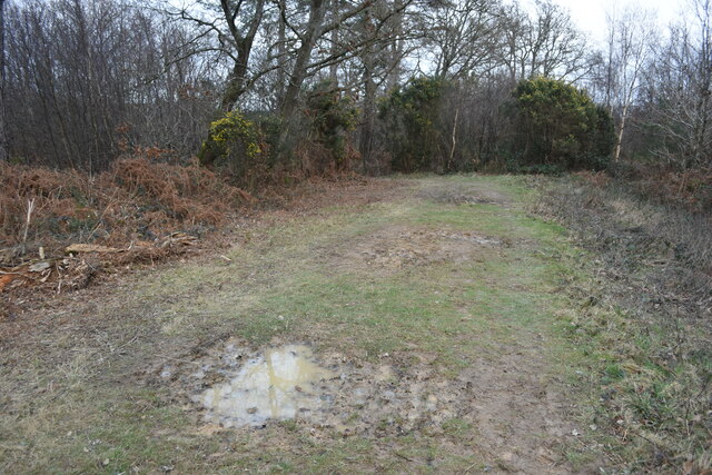
The wood is crisscrossed by a network of well-maintained footpaths, making it easily accessible to walkers and hikers. These paths wind through the forest, leading visitors to discover hidden clearings, babbling brooks, and stunning viewpoints. Nature lovers can also enjoy a peaceful picnic amidst the tranquil surroundings.
Gate Wood is not only a place of natural beauty but also holds historical significance. It is believed that the woodland has been in existence since the medieval period, and remnants of ancient earthworks can still be found within its boundaries.
Overall, Gate Wood in Sussex is a captivating destination for those seeking a serene escape into nature. Its breathtaking scenery, abundant wildlife, and rich history make it a must-visit location for outdoor enthusiasts and nature lovers alike.
If you have any feedback on the listing, please let us know in the comments section below.
Gate Wood Images
Images are sourced within 2km of 50.842103/0.22436532 or Grid Reference TQ5607. Thanks to Geograph Open Source API. All images are credited.


Gate Wood is located at Grid Ref: TQ5607 (Lat: 50.842103, Lng: 0.22436532)
Administrative County: East Sussex
District: Wealden
Police Authority: Sussex
What 3 Words
///retaliate.diet.darling. Near Hailsham, East Sussex
Nearby Locations
Related Wikis
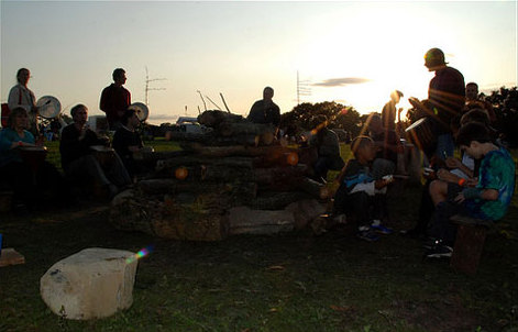
Out of the Ordinary Festival
The Out of the Ordinary Festival was an annual family- and eco-friendly music festival near Hailsham in the Sussex countryside. From 2007 to 2013 it celebrated...
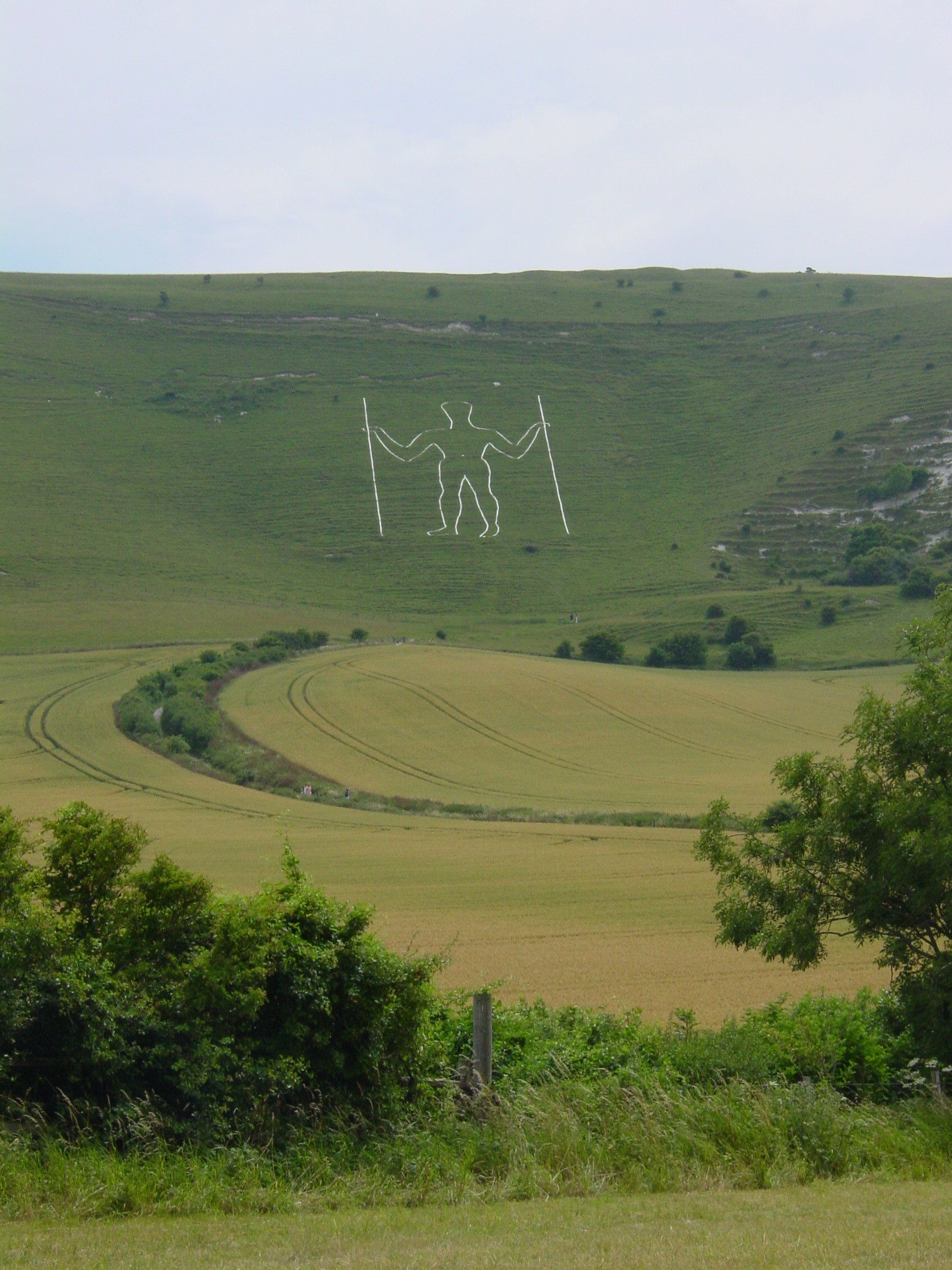
Long Man
Long Man is a civil parish in the Wealden District of East Sussex, England, which includes the villages of Wilmington, Milton Street and Folkington. The...

Arlington Stadium, Hailsham
Arlington Stadium is a sports stadium on Arlington Road West, Hailsham, East Sussex. The stadium is mainly used for Stock car racing and was formerly used...
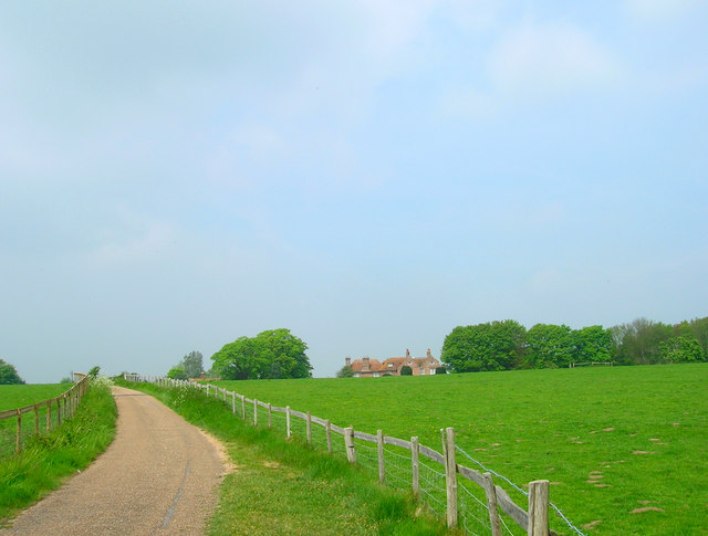
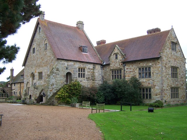
Wootton Manor
Wootton Manor is a country house in Folkington, East Sussex. Originally a mediaeval manor house, from which parts of the chapel survive, it was rebuilt...
Cuckoo Line
The Cuckoo Line is an informal name for the now defunct railway service which linked Polegate and Eridge in East Sussex, England, from 1880 to 1968. It...
Otham Abbey
Otham Abbey was a medieval monastic house in Polegate, East Sussex, England. == History == Otham Abbey was founded about 1180 by Ralph de Dene as the Abbey...
Michelham Priory
Michelham Priory is the site of a former Augustinian Priory in Upper Dicker, East Sussex, England, United Kingdom. The surviving buildings are owned and...

Arlington, East Sussex
Arlington is a village and civil parish in the Wealden district of East Sussex, England. The parish is on the River Cuckmere, and is the location of a...
Nearby Amenities
Located within 500m of 50.842103,0.22436532Have you been to Gate Wood?
Leave your review of Gate Wood below (or comments, questions and feedback).