Little Dustal Wood
Wood, Forest in Sussex Wealden
England
Little Dustal Wood
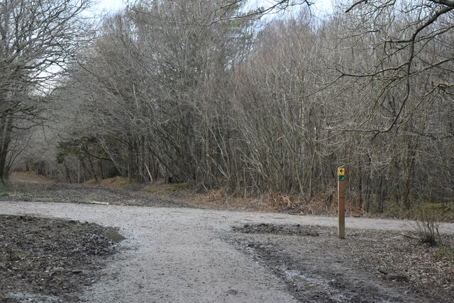
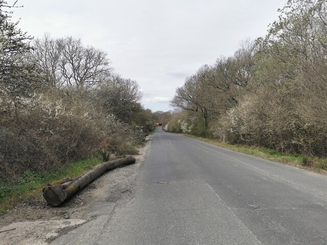
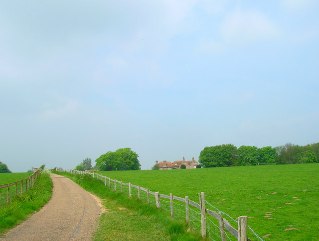
Little Dustal Wood is a charming forest located in the heart of Sussex, England. Covering an area of approximately 100 acres, this woodland is a haven for nature enthusiasts and those seeking a peaceful retreat from the bustling city life. The forest is situated on undulating terrain, characterized by gentle slopes and a variety of tree species.
The woodland is predominantly composed of native broadleaf trees, such as oak, beech, and ash, which provide a rich habitat for a diverse range of flora and fauna. Bluebells, wood anemones, and wild garlic carpet the forest floor during the spring months, creating a stunning display of colors and scents. The canopy of the trees provides shelter for numerous bird species, including woodpeckers, thrushes, and warblers, making it a popular destination for birdwatchers.
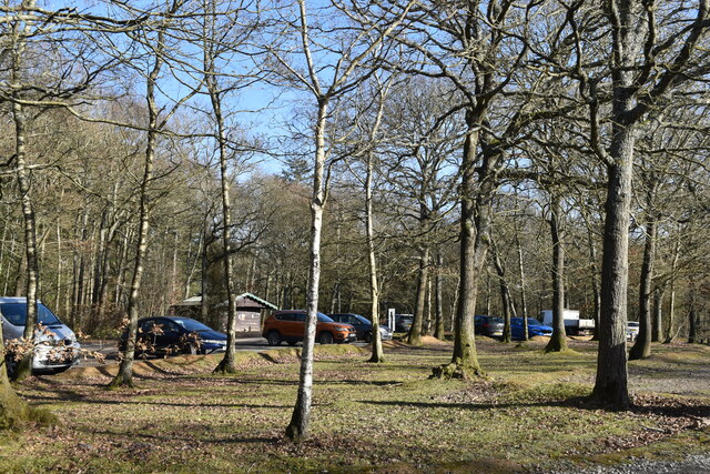
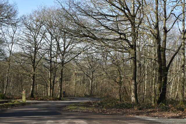
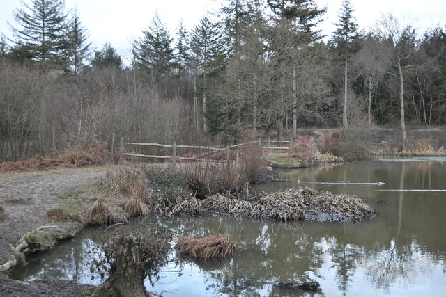
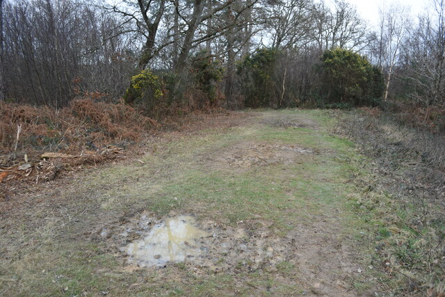
Little Dustal Wood offers a network of well-maintained footpaths, allowing visitors to explore its beauty at their own pace. The paths wind through the forest, leading to secluded clearings and hidden ponds, where visitors can pause and immerse themselves in the serenity of the surroundings. The woodland also features picnic areas and benches, providing ample opportunities to relax and enjoy a picnic amidst nature.
Managed by a local conservation trust, Little Dustal Wood is committed to preserving the natural heritage of the area. Regular conservation activities, such as tree planting and habitat restoration, take place to maintain the health and diversity of the woodland ecosystem. The forest is open to the public throughout the year, and admission is free, making it an accessible destination for all nature enthusiasts and lovers of the great outdoors.
If you have any feedback on the listing, please let us know in the comments section below.
Little Dustal Wood Images
Images are sourced within 2km of 50.842367/0.21852549 or Grid Reference TQ5607. Thanks to Geograph Open Source API. All images are credited.


Little Dustal Wood is located at Grid Ref: TQ5607 (Lat: 50.842367, Lng: 0.21852549)
Administrative County: East Sussex
District: Wealden
Police Authority: Sussex
What 3 Words
///worked.splashes.native. Near Hailsham, East Sussex
Nearby Locations
Related Wikis
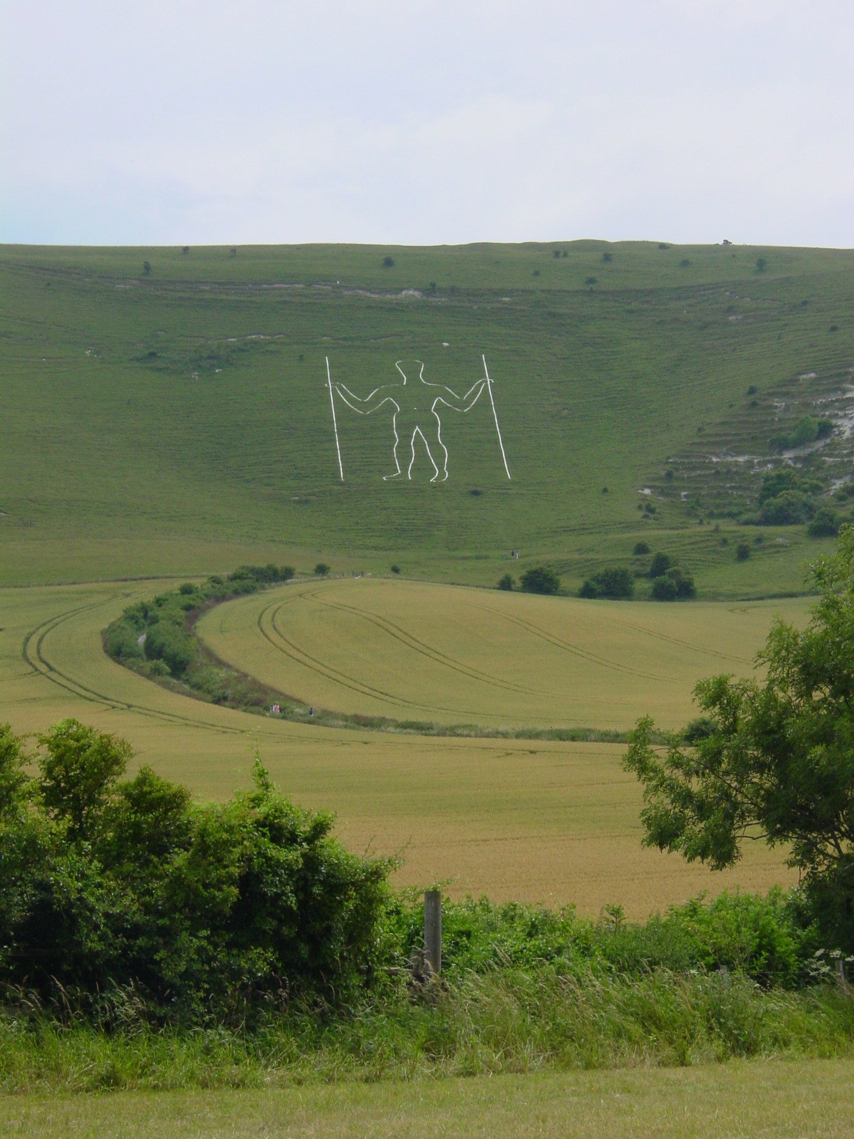
Long Man
Long Man is a civil parish in the Wealden District of East Sussex, England, which includes the villages of Wilmington, Milton Street and Folkington. The...
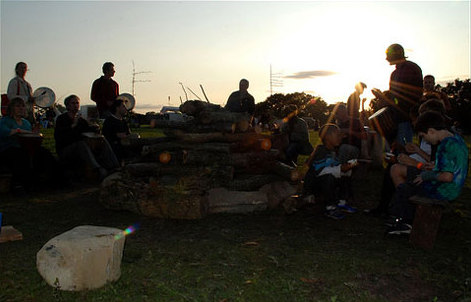
Out of the Ordinary Festival
The Out of the Ordinary Festival was an annual family- and eco-friendly music festival near Hailsham in the Sussex countryside. From 2007 to 2013 it celebrated...

Arlington Stadium, Hailsham
Arlington Stadium is a sports stadium on Arlington Road West, Hailsham, East Sussex. The stadium is mainly used for Stock car racing and was formerly used...
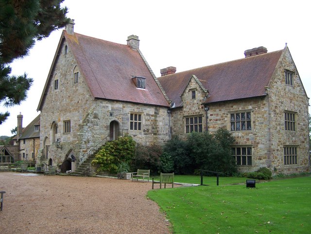
Wootton Manor
Wootton Manor is a country house in Folkington, East Sussex. Originally a mediaeval manor house, from which parts of the chapel survive, it was rebuilt...

Arlington, East Sussex
Arlington is a village and civil parish in the Wealden district of East Sussex, England. The parish is on the River Cuckmere, and is the location of a...
Michelham Priory
Michelham Priory is the site of a former Augustinian Priory in Upper Dicker, East Sussex, England, United Kingdom. The surviving buildings are owned and...
Cuckoo Line
The Cuckoo Line is an informal name for the now defunct railway service which linked Polegate and Eridge in East Sussex, England, from 1880 to 1968. It...
Otham Abbey
Otham Abbey was a medieval monastic house in Polegate, East Sussex, England. == History == Otham Abbey was founded about 1180 by Ralph de Dene as the Abbey...
Nearby Amenities
Located within 500m of 50.842367,0.21852549Have you been to Little Dustal Wood?
Leave your review of Little Dustal Wood below (or comments, questions and feedback).