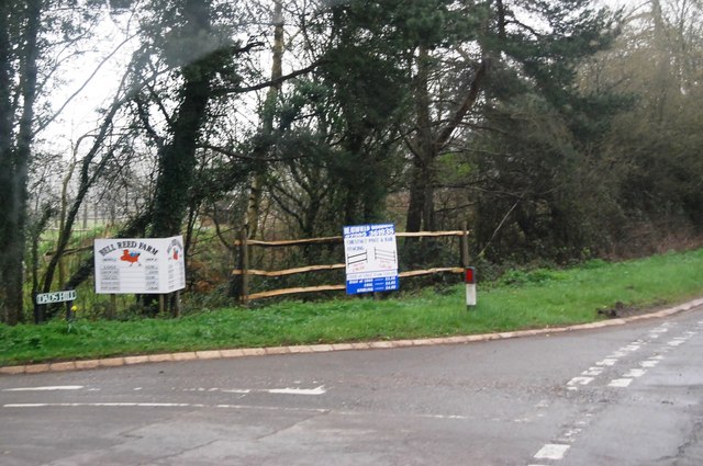
Almshouse Wood
Wood, Forest in Sussex Wealden
England
Almshouse Wood

Almshouse Wood, located in Sussex, England, is a charming and tranquil woodland area that offers visitors a peaceful retreat from the hustle and bustle of everyday life. The wood is situated near the village of Almshouse, in the heart of the Sussex countryside.
Covering an area of approximately 50 acres, Almshouse Wood is a diverse and ecologically rich forest. It is home to a wide variety of flora and fauna, making it a haven for nature enthusiasts and wildlife lovers. The wood is primarily composed of native broadleaf trees such as oak, beech, and ash, which provide a stunning display of colors during the autumn months.
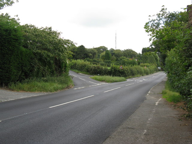
Visitors to Almshouse Wood can enjoy a network of well-maintained footpaths that meander through the woodland, allowing for leisurely walks and exploration. The paths are suitable for all ages and abilities, ensuring that everyone can appreciate the beauty of the wood at their own pace.
In addition to its natural beauty, Almshouse Wood also has a rich history. The wood is believed to have been part of a medieval hunting ground and has remnants of old boundaries and ditches still visible today. It is a place where visitors can connect with the past and imagine what life was like in centuries gone by.
Overall, Almshouse Wood is a hidden gem in Sussex, offering a serene and captivating experience for those seeking a peaceful escape in nature. With its stunning landscapes, diverse wildlife, and historical significance, it is a place that truly has something to offer to all who visit.
If you have any feedback on the listing, please let us know in the comments section below.
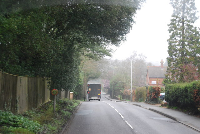
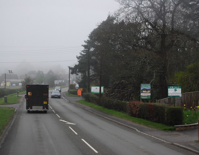
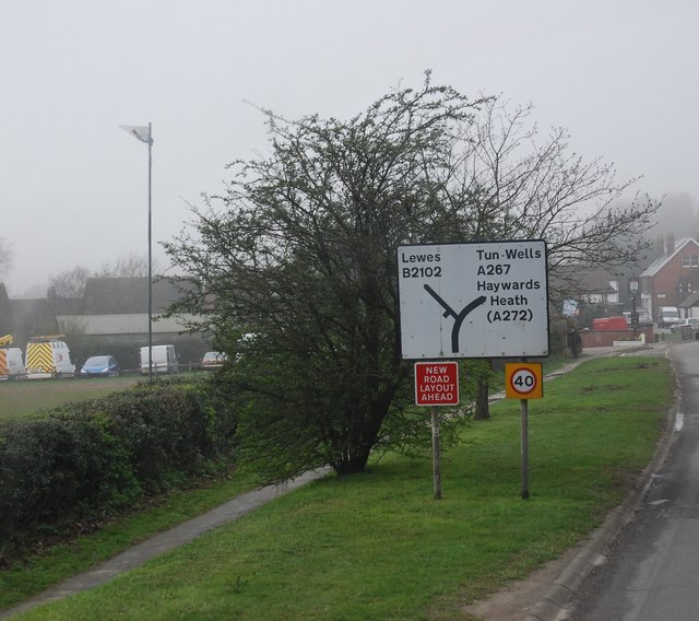
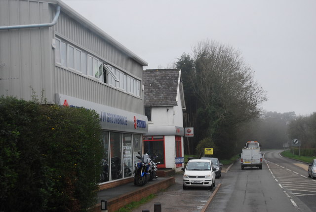
Almshouse Wood Images
Images are sourced within 2km of 50.977612/0.20918146 or Grid Reference TQ5522. Thanks to Geograph Open Source API. All images are credited.


Almshouse Wood is located at Grid Ref: TQ5522 (Lat: 50.977612, Lng: 0.20918146)
Administrative County: East Sussex
District: Wealden
Police Authority: Sussex
What 3 Words
///tequila.duck.twit. Near Heathfield, East Sussex
Nearby Locations
Related Wikis

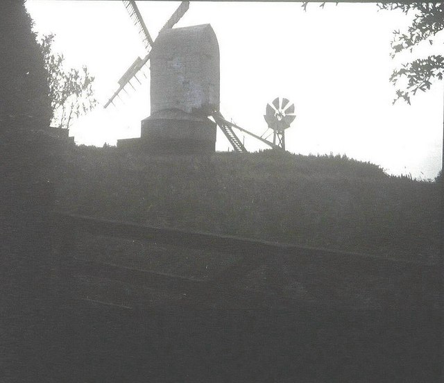
New Mill, Cross-in-Hand
New Mill is a Grade II* listed post mill at Cross in Hand near Heathfield, East Sussex, England. It was the last windmill working commercially by wind...

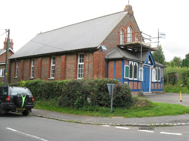
Holy Cross Priory, Cross-in-Hand
Holy Cross Priory, Cross-in-Hand, is a priory of the Benedictine Sisters of Grace and Compassion which provides homes for the elderly. It was established...

Cross-in-Hand
Cross-in-Hand is a small village outside Heathfield town to its west, in the Wealden District situated in East Sussex, England. It is occasionally referred...

Heathfield transmitting station
The Heathfield transmitting station is a facility for FM and television transmission at Heathfield, East Sussex, UK (grid reference TQ566220). Opened in...

Roser's Cross
Roser's Cross is a village in the Wealden district of East Sussex.

Selwyns Wood
Selwyns Wood is a 11-hectare (27-acre) nature reserve west of Heathfield in Sussex. It is managed by the Sussex Wildlife Trust.This reserve has woodland...

Wealden (UK Parliament constituency)
Wealden is a constituency represented in the House of Commons of the UK Parliament since 2015 by Nus Ghani, a Conservative. Ghani is the first Muslim woman...

Wealden District
Wealden is a local government district in East Sussex, England. Its council is based in Hailsham, the district's largest town. The district also includes...
Nearby Amenities
Located within 500m of 50.977612,0.20918146Have you been to Almshouse Wood?
Leave your review of Almshouse Wood below (or comments, questions and feedback).