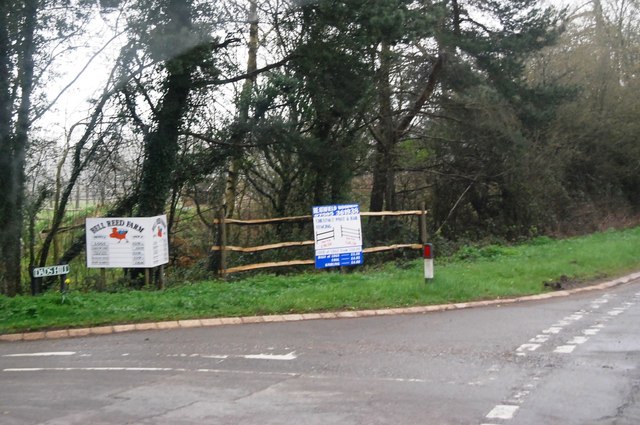
Bellreed Wood
Wood, Forest in Sussex Wealden
England
Bellreed Wood

Bellreed Wood is a picturesque woodland located in the county of Sussex, England. Situated near the village of Bellreed, the forest covers an area of approximately 500 acres, making it a significant natural landmark in the region. The wood is characterized by its dense vegetation, which primarily consists of deciduous trees such as oak, beech, and birch.
One of the remarkable features of Bellreed Wood is its diverse wildlife. The forest provides a habitat for numerous species, including deer, rabbits, squirrels, and various bird species. Birdwatchers can often spot woodpeckers, owls, and thrushes among the treetops. The woodland floor is also rich in flora, with bluebells and wild garlic adding vibrant colors during the spring season.
Bellreed Wood offers several well-maintained walking trails, allowing visitors to explore its natural beauty. These paths wind through the forest, providing peaceful and tranquil surroundings for nature enthusiasts. The wood is particularly popular among hikers and photographers, who are drawn to its scenic landscapes and unique charm.
The wood is also of historical significance, as it is believed to have been used for timber production during the medieval period. Today, it is protected by local conservation efforts, ensuring its preservation for future generations to enjoy.
Overall, Bellreed Wood is a captivating natural haven in Sussex, offering a harmonious blend of diverse flora and fauna. Its tranquil atmosphere and scenic beauty make it a perfect destination for nature lovers and those seeking a peaceful retreat in the heart of the countryside.
If you have any feedback on the listing, please let us know in the comments section below.
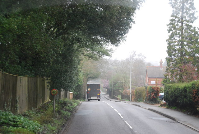
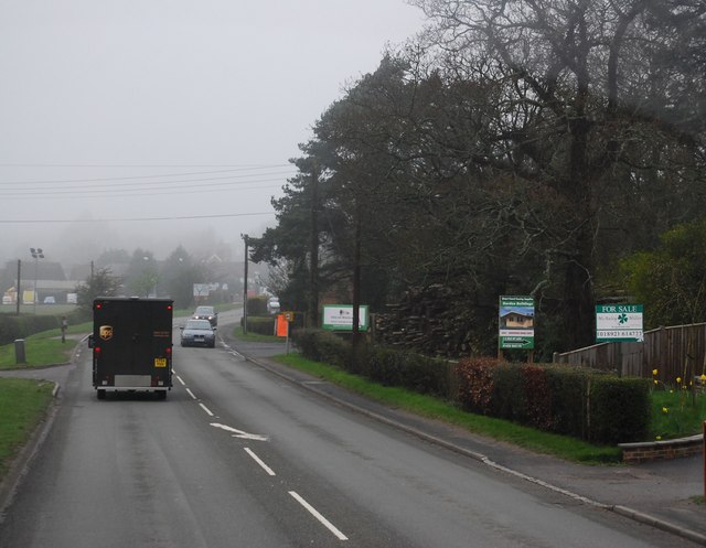
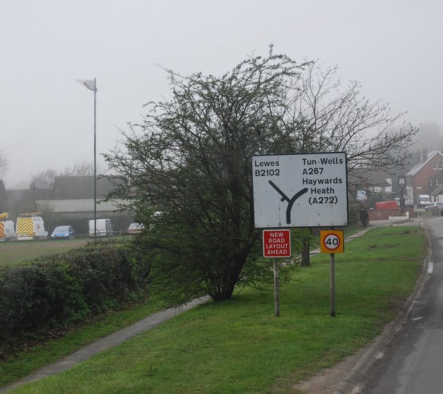
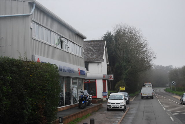
Bellreed Wood Images
Images are sourced within 2km of 50.97717/0.21682483 or Grid Reference TQ5522. Thanks to Geograph Open Source API. All images are credited.


Bellreed Wood is located at Grid Ref: TQ5522 (Lat: 50.97717, Lng: 0.21682483)
Administrative County: East Sussex
District: Wealden
Police Authority: Sussex
What 3 Words
///annual.cakes.midfield. Near Heathfield, East Sussex
Nearby Locations
Related Wikis

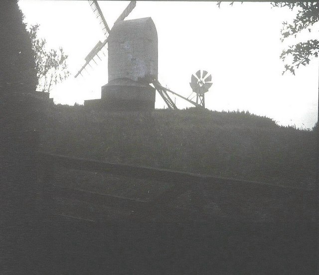
New Mill, Cross-in-Hand
New Mill is a Grade II* listed post mill at Cross in Hand near Heathfield, East Sussex, England. It was the last windmill working commercially by wind...

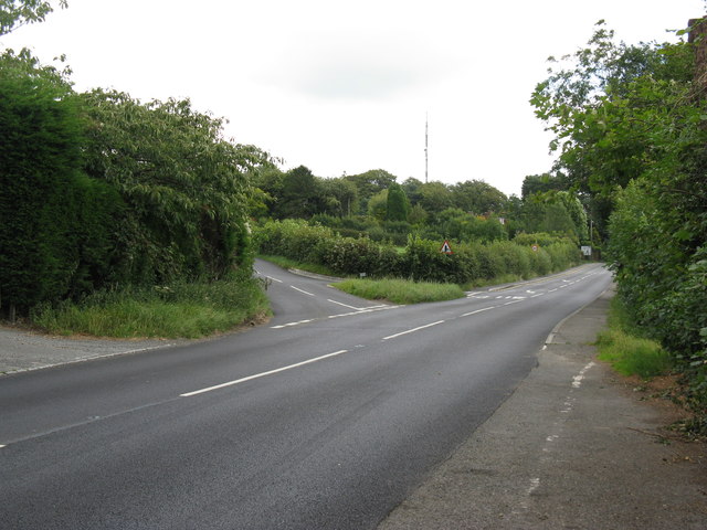
Cross-in-Hand
Cross-in-Hand is a small village outside Heathfield town to its west, in the Wealden District situated in East Sussex, England. It is occasionally referred...

Heathfield transmitting station
The Heathfield transmitting station is a facility for FM and television transmission at Heathfield, East Sussex, UK (grid reference TQ566220). Opened in...

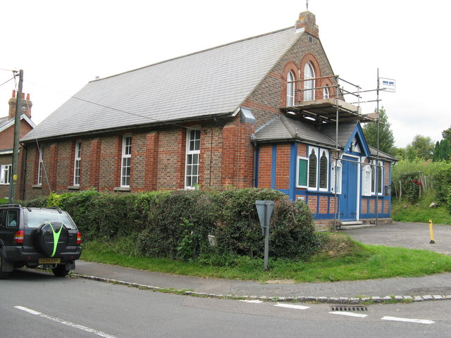
Holy Cross Priory, Cross-in-Hand
Holy Cross Priory, Cross-in-Hand, is a priory of the Benedictine Sisters of Grace and Compassion which provides homes for the elderly. It was established...

Roser's Cross
Roser's Cross is a village in the Wealden district of East Sussex.

Selwyns Wood
Selwyns Wood is a 11-hectare (27-acre) nature reserve west of Heathfield in Sussex. It is managed by the Sussex Wildlife Trust.This reserve has woodland...

Wealden (UK Parliament constituency)
Wealden is a constituency represented in the House of Commons of the UK Parliament since 2015 by Nus Ghani, a Conservative. Ghani is the first Muslim woman...

Wealden District
Wealden is a local government district in East Sussex, England. Its council is based in Hailsham, the district's largest town. The district also includes...
Nearby Amenities
Located within 500m of 50.97717,0.21682483Have you been to Bellreed Wood?
Leave your review of Bellreed Wood below (or comments, questions and feedback).