Wade's Plantation
Wood, Forest in Cambridgeshire South Cambridgeshire
England
Wade's Plantation

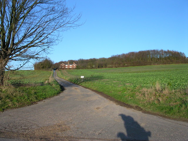
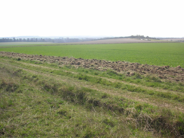
Wade's Plantation is a picturesque woodland located in Cambridgeshire, England. Situated just outside the small village of Wade's Plantation, the forest covers an expansive area of approximately 500 acres. The plantation is named after the renowned botanist, Henry Wade, who dedicated his life to the preservation and study of plants.
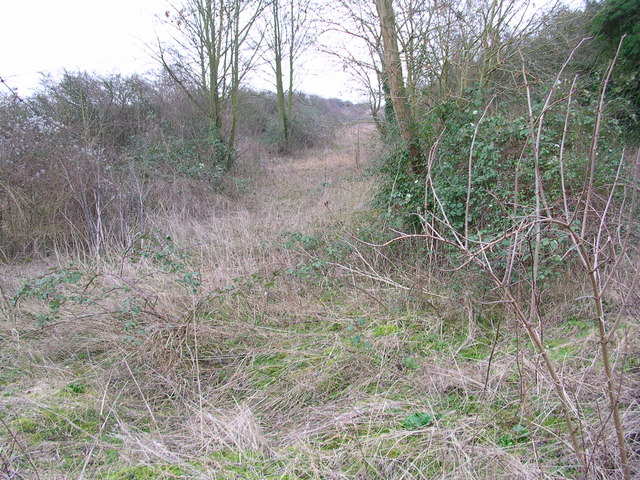
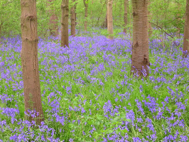
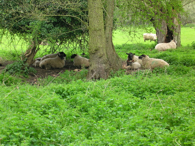
The woodland boasts a diverse range of tree species, including oak, beech, birch, and chestnut, creating a rich tapestry of colors throughout the seasons. The dense canopy provides a haven for numerous bird species, making it a popular spot for birdwatching enthusiasts. It is also home to a variety of other wildlife, such as deer, foxes, and squirrels, which adds to the natural charm of the area.
Visitors to Wade's Plantation can enjoy a myriad of activities, including hiking, cycling, and horseback riding. There are well-marked trails that wind their way through the forest, offering breathtaking views and opportunities to explore the diverse flora and fauna. The peaceful and serene atmosphere of the woodland makes it a perfect retreat for those seeking solitude and tranquility.
Wade's Plantation is not only a haven for nature lovers but also serves as an important educational resource. The plantation offers guided tours and workshops for schools and groups, providing valuable insights into the local ecosystem and the need for its conservation.
In conclusion, Wade's Plantation is a stunning woodland in Cambridgeshire, offering an abundance of natural beauty and recreational opportunities. Its diverse range of flora and fauna, coupled with its educational initiatives, make it a cherished destination for both locals and visitors alike.
If you have any feedback on the listing, please let us know in the comments section below.
Wade's Plantation Images
Images are sourced within 2km of 52.11021/0.24842507 or Grid Reference TL5448. Thanks to Geograph Open Source API. All images are credited.


Wade's Plantation is located at Grid Ref: TL5448 (Lat: 52.11021, Lng: 0.24842507)
Administrative County: Cambridgeshire
District: South Cambridgeshire
Police Authority: Cambridgeshire
What 3 Words
///shorthand.kinder.alienated. Near Linton, Cambridgeshire
Nearby Locations
Related Wikis
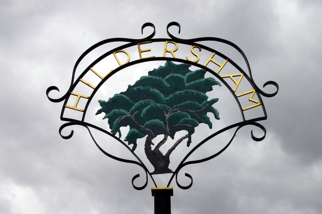
Hildersham
Hildersham is a small village 8 miles to the south-east of Cambridge, England. It is situated just off the A1307 between Linton and Great Abington on a...

Alder Carr, Hildersham
Alder Carr is a 6.7-hectare biological Site of Special Scientific Interest in Hildersham in Cambridgeshire.The site is a wet valley which has alder on...

The Abingtons, Cambridgeshire
The Abingtons are a community in South Cambridgeshire consisting of two small villages: Little Abington and Great Abington, about 7 miles (11 km) south...

Furze Hill SSSI
Furze Hill is a 5.8-hectare (14-acre) biological Site of Special Scientific Interest in three nearby areas east of Hildersham in Cambridgeshire.The site...

Granta School
Granta School is a community special school in Linton, South Cambridgeshire, England. Established in 2006, the school is designed to assist with moderate...

Granta Park
Granta Park is a science, technology and biopharmaceutical park based on the bank of the River Granta in Great Abington near Cambridge, England. The idea...

Linton Village College
Linton Village College is a secondary school in Linton, South Cambridgeshire, England. Established in 1937 as a village college, the school now has academy...
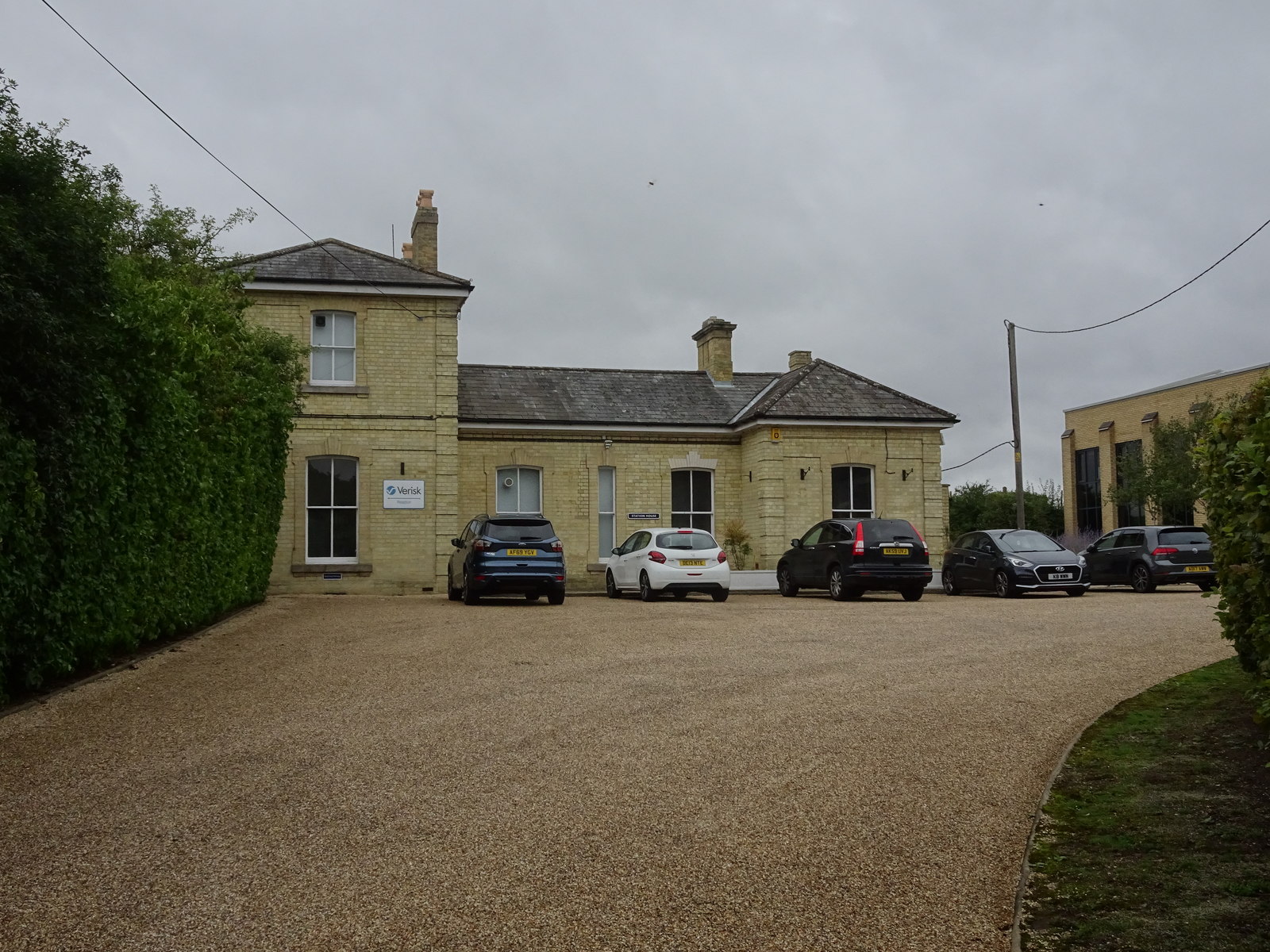
Linton railway station (Cambridgeshire)
Linton railway station was a railway station in Linton, Cambridgeshire on the Stour Valley Railway. It closed in 1967. The station house is H-shaped and...
Nearby Amenities
Located within 500m of 52.11021,0.24842507Have you been to Wade's Plantation?
Leave your review of Wade's Plantation below (or comments, questions and feedback).