Enclosure Wood
Wood, Forest in Sussex Wealden
England
Enclosure Wood

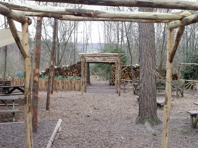
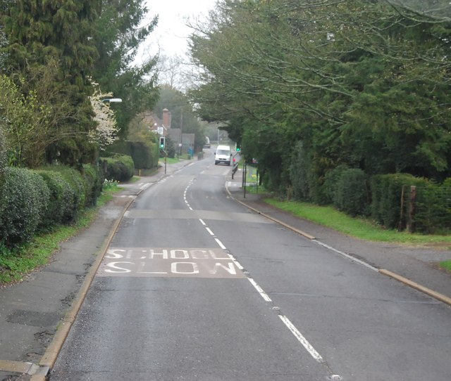
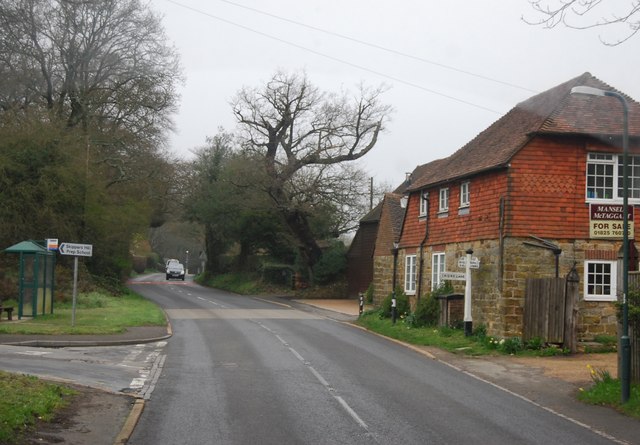
Enclosure Wood, located in Sussex, England, is a picturesque forest that covers a vast area of land. With its diverse range of flora and fauna, it is a popular destination for nature enthusiasts and hikers alike.
The wood is characterized by its dense canopy of tall, mature trees, including oak, beech, and birch. These majestic trees provide a natural shade and create a tranquil atmosphere as visitors walk along the well-maintained trails. The forest floor is carpeted with a rich variety of wildflowers, adding splashes of color to the surroundings.
Enclosure Wood is also home to a wide array of wildlife. Birdwatchers can observe numerous species, including woodpeckers, owls, and thrushes, as they flit between the branches. Squirrels and rabbits are commonly spotted, while luckier visitors may even catch a glimpse of deer or foxes.
The wood is managed by a team of dedicated conservationists who work tirelessly to protect its natural beauty. They ensure that the trails are well-marked and safe for visitors, while also maintaining the delicate balance of the ecosystem. The wood is open to the public year-round, with various events and guided walks organized throughout the year.
Visitors to Enclosure Wood are encouraged to respect the environment and adhere to the designated trails. This ensures the preservation of the woodland's delicate ecosystem and allows future generations to enjoy its natural wonders.
If you have any feedback on the listing, please let us know in the comments section below.
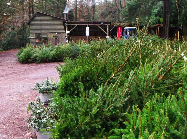
Enclosure Wood Images
Images are sourced within 2km of 51.00467/0.19458745 or Grid Reference TQ5425. Thanks to Geograph Open Source API. All images are credited.


Enclosure Wood is located at Grid Ref: TQ5425 (Lat: 51.00467, Lng: 0.19458745)
Administrative County: East Sussex
District: Wealden
Police Authority: Sussex
What 3 Words
///hails.pupils.transfers. Near Buxted, East Sussex
Nearby Locations
Related Wikis

Southern Sandstone
Southern Sandstone is a local name for the Ardingly Sandstone of southeast England, a soft sandstone of Cretaceous age separating the Tunbridge Wells Sands...

Great Bush Railway
The Great Bush Railway is a private, 2 ft (610 mm) narrow gauge running round the edge of Tinkers Park, Hadlow Down, Sussex. The railway is operated by...

Hadlow Down
Hadlow Down is a village and civil parish in the Wealden District of East Sussex, England. It is located on the A272 road three miles (4.8 km) north-west...

Five Ash Down Independent Chapel
Five Ash Down Independent Chapel is an independent Evangelical church in the Reformed (Calvinist) tradition in the hamlet of Five Ash Down, East Sussex...

Providence Chapel, Hadlow Down
Providence Chapel is a former independent Calvinistic place of worship in the village of Hadlow Down in Wealden, one of six local government districts...

Wealden (UK Parliament constituency)
Wealden is a constituency represented in the House of Commons of the UK Parliament since 2015 by Nus Ghani, a Conservative. Ghani is the first Muslim woman...

Wealden District
Wealden is a local government district in East Sussex, England. Its council is based in Hailsham, the district's largest town. The district also includes...

Stockland Farm Meadows
Stockland Farm Meadows is a 5.8-hectare (14-acre) biological Site of Special Scientific Interest south of Crowborough in East Sussex.These two species...
Related Videos

Swing at Hadlow Down (Laurie 8 Months)
Xmas 2020.
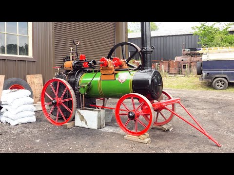
Tinkers Park Steam Rally 2022
Tinkers Park Steam Rally 2022, some of the highlights of the rally I managed to capture, whilst walking round, it includes classic ...

Tinkers Park Steam Rally June 3 2023
A traditional traction engine rally featuring at least 40 steam road vehicles plus commercial vehicles, cars, tractors and stationary ...

Great Bush Railway UK. Narrow Gauge Railway. Tinkers Park. Cab Ride Orenstein and Koppel 0-6-0 UK.
Tinkers Park. Great Bush Industrial Narrow Gauge Railway. Orenstein and Koppel 0-6-0 Cab Ride. A great 2 foot British Narrow ...
Nearby Amenities
Located within 500m of 51.00467,0.19458745Have you been to Enclosure Wood?
Leave your review of Enclosure Wood below (or comments, questions and feedback).