Broadreed Wood

Wood, Forest in Sussex Wealden

England

Broadreed Wood

A267, Butcher's Cross The A267 road is a 21 mile long road from Tunbridge Wells <a href="https://www.geograph.org.uk/photo/6669020">TQ5838 : A26, A267 junction</a> to Horsebridge.
Website: <span class="nowrap"><a title="http://www.sabre-roads.org.uk/wiki/index.php?title=A267" rel="nofollow ugc noopener" href="http://www.sabre-roads.org.uk/wiki/index.php?title=A267">Link</a><img style="margin-left:2px;" alt="External link" title="External link - shift click to open in new window" src="https://s1.geograph.org.uk/img/external.png" width="10" height="10"/></span>
A267, Butcher's Cross Credit: N Chadwick

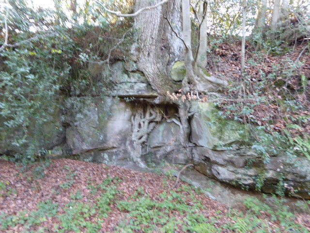
Broadreed Wood is a picturesque woodland located in the county of Sussex, England. Situated amidst the scenic landscape of the South Downs National Park, this forested area covers a vast expanse of approximately 200 acres. The wood is known for its diverse range of tree species, including oak, beech, birch, and ash, which create a rich and varied ecosystem.

One of the most striking features of Broadreed Wood is its tranquil atmosphere. The dense canopy of trees provides a natural shelter, allowing visitors to enjoy peaceful walks and hikes throughout the year. The forest floor is carpeted with a vibrant array of wildflowers and ferns, adding to the beauty of the surroundings.

Broadreed Wood is also home to a rich and varied wildlife population. Bird enthusiasts can spot a wide range of species, including woodpeckers, owls, and various songbirds. The wood is also a haven for small mammals, such as foxes, badgers, and rabbits. The occasional sighting of deer is not uncommon, adding to the charm of the forest.

The wood is accessible to the public through a network of well-maintained footpaths and trails, making it a popular destination for nature enthusiasts and families alike. The area also offers picnic facilities and designated spots for birdwatching, ensuring a pleasant and immersive experience for visitors.

Broadreed Wood, with its breathtaking beauty and natural diversity, is a true gem in the heart of Sussex. Whether it be for a peaceful stroll, wildlife spotting, or simply enjoying the serenity of nature, this woodland offers an idyllic escape from the hustle and bustle of everyday life.

If you have any feedback on the listing, please let us know in the comments section below.

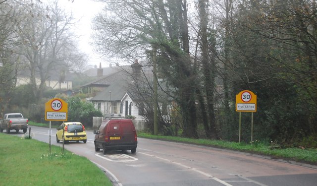
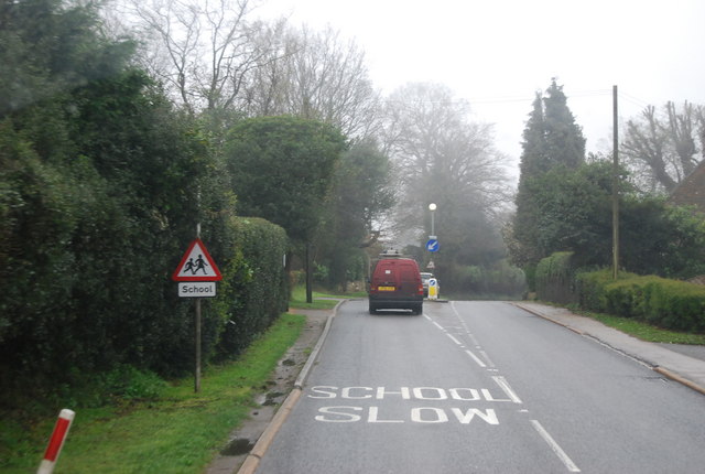
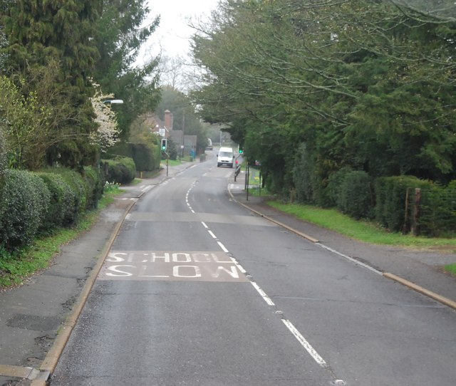
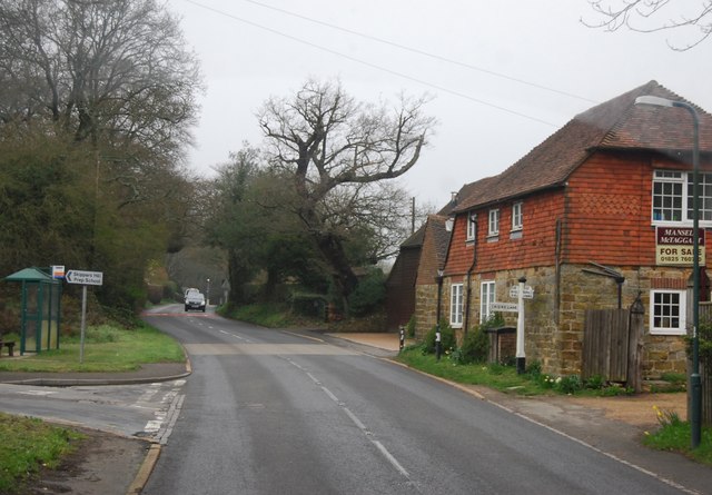
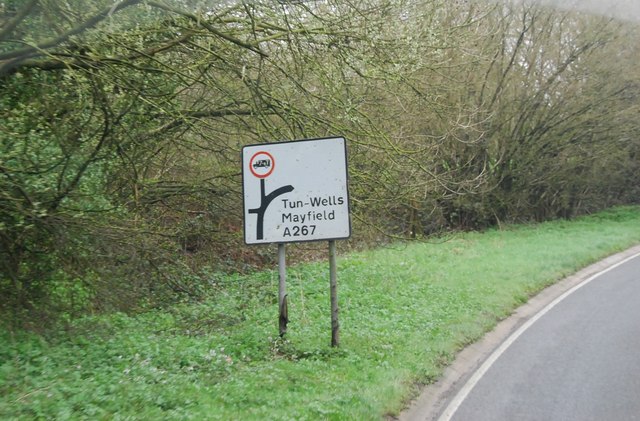
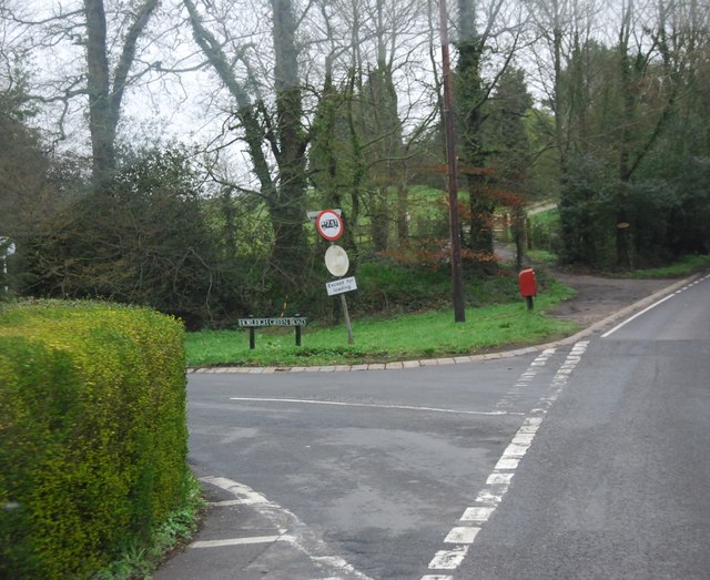
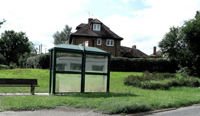
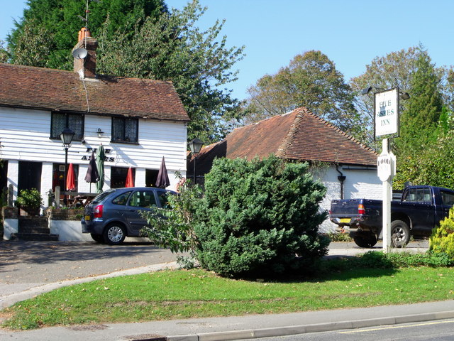
Broadreed Wood Images

Images are sourced within 2km of 51.012018/0.19983861 or Grid Reference TQ5425. Thanks to Geograph Open Source API. All images are credited.

A267, Butcher's Cross The A267 road is a 21 mile long road from Tunbridge Wells <a href="https://www.geograph.org.uk/photo/6669020">TQ5838 : A26, A267 junction</a> to Horsebridge.
Website: <span class="nowrap"><a title="http://www.sabre-roads.org.uk/wiki/index.php?title=A267" rel="nofollow ugc noopener" href="http://www.sabre-roads.org.uk/wiki/index.php?title=A267">Link</a><img style="margin-left:2px;" alt="External link" title="External link - shift click to open in new window" src="https://s1.geograph.org.uk/img/external.png" width="10" height="10"/></span>
A267, Butcher's Cross
The A267 road is a 21 mile long road from Tunbridge Wells TQ5838 : A26, A267 junction to Horsebridge. Website: LinkExternal link
A267, entering Five Ashes The A267 road is a 21 mile long road from Tunbridge Wells <a href="https://www.geograph.org.uk/photo/6669020">TQ5838 : A26, A267 junction</a> to Horsebridge.
Website: <span class="nowrap"><a title="http://www.sabre-roads.org.uk/wiki/index.php?title=A267" rel="nofollow ugc noopener" href="http://www.sabre-roads.org.uk/wiki/index.php?title=A267">Link</a><img style="margin-left:2px;" alt="External link" title="External link - shift click to open in new window" src="https://s1.geograph.org.uk/img/external.png" width="10" height="10"/></span>
A267, entering Five Ashes
The A267 road is a 21 mile long road from Tunbridge Wells TQ5838 : A26, A267 junction to Horsebridge. Website: LinkExternal link
A267, Five Ashes The A267 road is a 21 mile long road from Tunbridge Wells <a href="https://www.geograph.org.uk/photo/6669020">TQ5838 : A26, A267 junction</a> to Horsebridge.
Website: <span class="nowrap"><a title="http://www.sabre-roads.org.uk/wiki/index.php?title=A267" rel="nofollow ugc noopener" href="http://www.sabre-roads.org.uk/wiki/index.php?title=A267">Link</a><img style="margin-left:2px;" alt="External link" title="External link - shift click to open in new window" src="https://s1.geograph.org.uk/img/external.png" width="10" height="10"/></span>
A267, Five Ashes
The A267 road is a 21 mile long road from Tunbridge Wells TQ5838 : A26, A267 junction to Horsebridge. Website: LinkExternal link
Frog Hole Lane / A267 junction
A267 through Five Ashes The A267 road is a 21 mile long road from Tunbridge Wells <a href="https://www.geograph.org.uk/photo/6669020">TQ5838 : A26, A267 junction</a> to Horsebridge.
Website: <span class="nowrap"><a title="http://www.sabre-roads.org.uk/wiki/index.php?title=A267" rel="nofollow ugc noopener" href="http://www.sabre-roads.org.uk/wiki/index.php?title=A267">Link</a><img style="margin-left:2px;" alt="External link" title="External link - shift click to open in new window" src="https://s1.geograph.org.uk/img/external.png" width="10" height="10"/></span>
A267 through Five Ashes
The A267 road is a 21 mile long road from Tunbridge Wells TQ5838 : A26, A267 junction to Horsebridge. Website: LinkExternal link
Stone and tiled house, Criers Lane turn off
Road sign by the A267, Butcher's Cross
Horleigh Green Rd off the A267
Bus stop at Five Ashes, East Sussex
Five Ashes Inn, Five Ashes, East Sussex
Five Ashes Church of England Primary School, East Sussex
Minor road joins the A272, Hadlow Down
Dog Kennel Lane A slight dogleg in the lane!
Dog Kennel Lane
A slight dogleg in the lane!
Brick Kiln Lane Toddler, wheeled sit-on vehicle for toddler, dog and mother will eventually move to the side of the road.
Brick Kiln Lane
Toddler, wheeled sit-on vehicle for toddler, dog and mother will eventually move to the side of the road.
Sharp bend on Brick Kiln Lane A small stream is crossed just before the bend - the white wooden railing on the right marks the spot.
Sharp bend on Brick Kiln Lane
A small stream is crossed just before the bend - the white wooden railing on the right marks the spot.
Steep Road at Pinehurst Farm The road name is Steep, it is not markedly steep!
Steep Road at Pinehurst Farm
The road name is Steep, it is not markedly steep!
Stonehurst Lane by Woodreed Farm The farm entrance is on the left, but farming seems to be a thing of the past.
Stonehurst Lane by Woodreed Farm
The farm entrance is on the left, but farming seems to be a thing of the past.
Stonehurst Lane through unnamed wood This small wood has no name, or if it has, the cartographers were not told of it.
Stonehurst Lane through unnamed wood
This small wood has no name, or if it has, the cartographers were not told of it.
Show me another place!

Broadreed Wood is located at Grid Ref: TQ5425 (Lat: 51.012018, Lng: 0.19983861)

Administrative County: East Sussex

District: Wealden

Police Authority: Sussex

What 3 Words

///trespass.exacted.worm. Near Town Row, East Sussex

Related Wikis

Southern Sandstone

Southern Sandstone is a local name for the Ardingly Sandstone of southeast England, a soft sandstone of Cretaceous age separating the Tunbridge Wells Sands...

Wealden (UK Parliament constituency)

Wealden is a constituency represented in the House of Commons of the UK Parliament since 2015 by Nus Ghani, a Conservative. Ghani is the first Muslim woman...

Wealden District

Wealden is a local government district in East Sussex, England. Its council is based in Hailsham, the district's largest town. The district also includes...

Hadlow Down

Hadlow Down is a village and civil parish in the Wealden District of East Sussex, England. It is located on the A272 road three miles (4.8 km) north-west...

Great Bush Railway

The Great Bush Railway is a private, 2 ft (610 mm) narrow gauge running round the edge of Tinkers Park, Hadlow Down, Sussex. The railway is operated by...

Stockland Farm Meadows

Stockland Farm Meadows is a 5.8-hectare (14-acre) biological Site of Special Scientific Interest south of Crowborough in East Sussex.These two species...

Hastingford Cutting

Hastingford Cutting is a 0.04-hectare (0.099-acre) geological Site of Special Scientific Interest south of Crowborough in East Sussex. It is a Geological...

Five Ash Down Independent Chapel

Five Ash Down Independent Chapel is an independent Evangelical church in the Reformed (Calvinist) tradition in the hamlet of Five Ash Down, East Sussex...

Nearby Amenities

Located within 500m of 51.012018,0.19983861
Post Box
Collection Times: Mo-Fr 16:30; Sa 09:30
Operator: Royal Mail
Post Box Type: wall
Ref: TN20 125
Royal Cypher: VR
Royal Cypher Wikidata: Q33102356
Lat/Long: 51.0140025/0.1981127
Power: tower
Lat/Long: 51.0081249/0.1964182
Power: tower
Lat/Long: 51.0093603/0.1941812
The data included in this document is from www.openstreetmap.org. The data is made available under ODbL.

Have you been to Broadreed Wood?

Leave your review of Broadreed Wood below (or comments, questions and feedback).