Rook Plantation
Wood, Forest in Cambridgeshire South Cambridgeshire
England
Rook Plantation

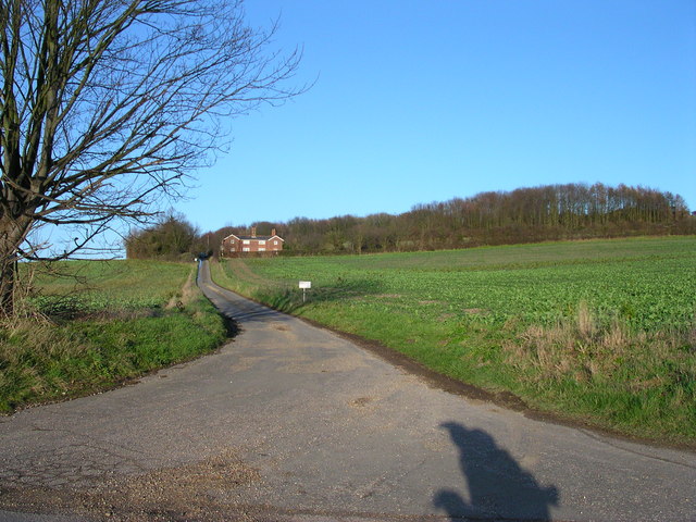
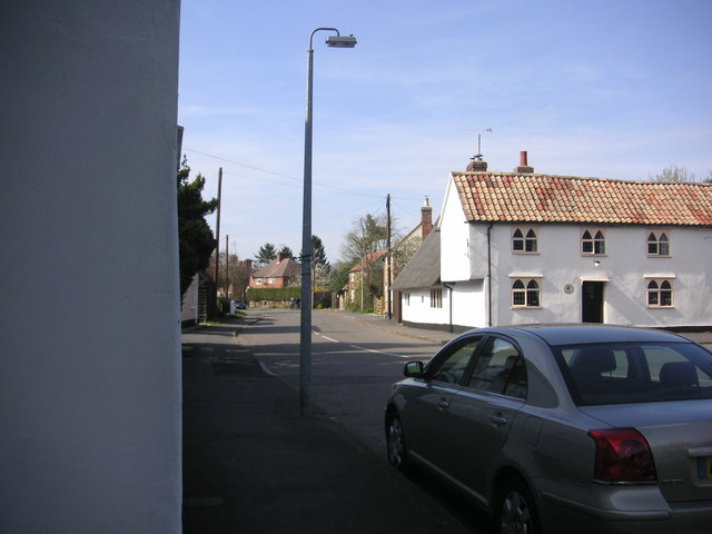
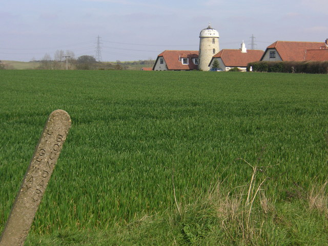
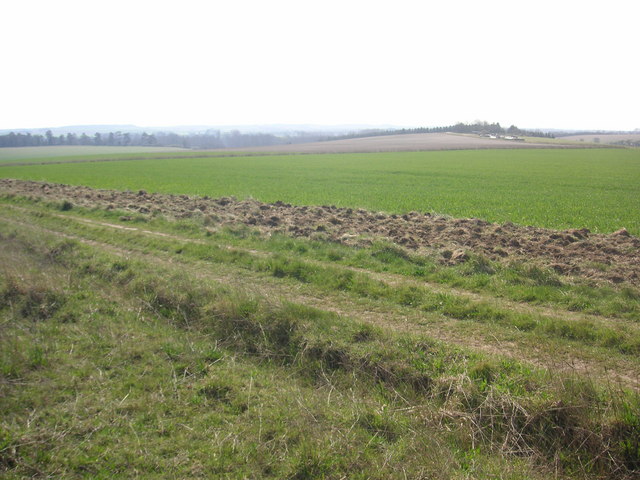
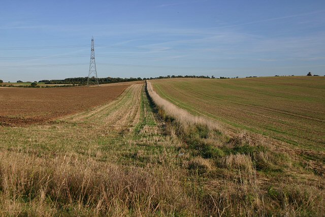
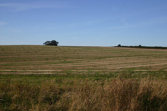
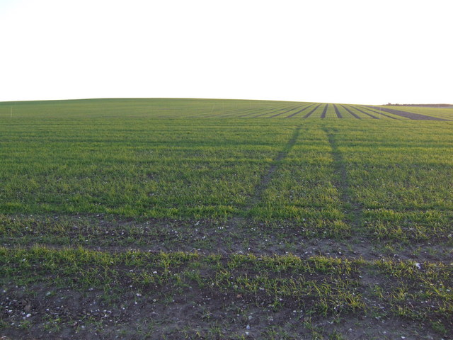
Rook Plantation is a picturesque woodland located in Cambridgeshire, England. Nestled in the heart of the county, this enchanting forest covers an area of approximately 100 acres. The plantation is situated within close proximity to the village of Rook, from which it derives its name, and is easily accessible by local roads.
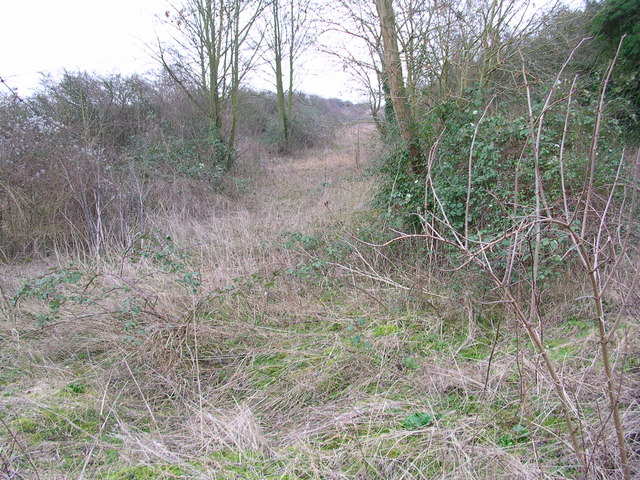
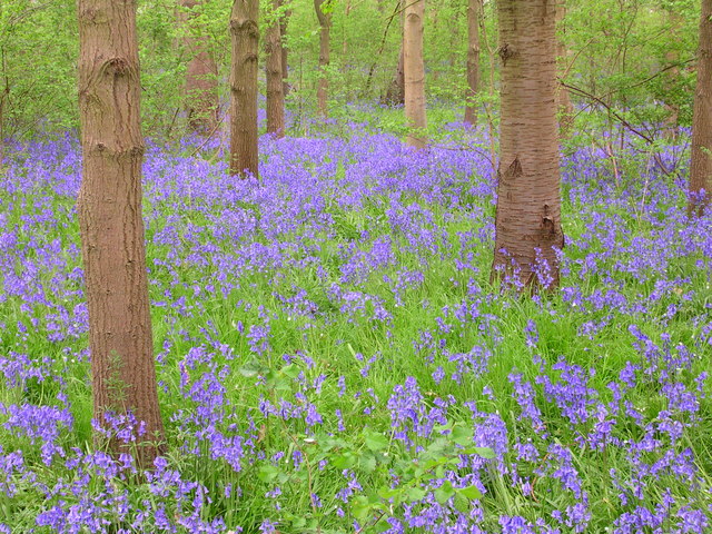
The woodland is characterized by its diverse range of tree species, creating a rich and vibrant ecosystem. Majestic oak and beech trees dominate the landscape, while other species such as birch, ash, and hornbeam can also be found throughout the plantation. This mix of deciduous and coniferous trees provides a stunning display of colors during the changing seasons, attracting nature enthusiasts and photographers alike.
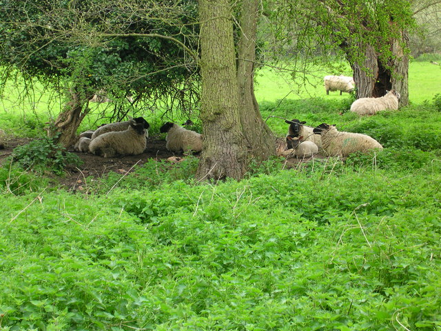
Rook Plantation is home to an array of wildlife, including various bird species, squirrels, deer, and foxes. The tranquil environment provides a haven for these creatures, making it a popular spot for birdwatching and wildlife observation.
The plantation offers several walking trails and footpaths that meander through the woods, allowing visitors to explore its natural beauty. These paths are well-maintained and provide a pleasant experience for hikers of all levels. Additionally, there are picnic areas scattered throughout the woodland, providing the perfect opportunity to relax and enjoy the serene surroundings.
Rook Plantation is a cherished natural gem, offering a peaceful escape from the hustle and bustle of daily life. Its beauty and tranquility make it a must-visit destination for nature lovers and those seeking a quiet retreat in the heart of Cambridgeshire.
If you have any feedback on the listing, please let us know in the comments section below.
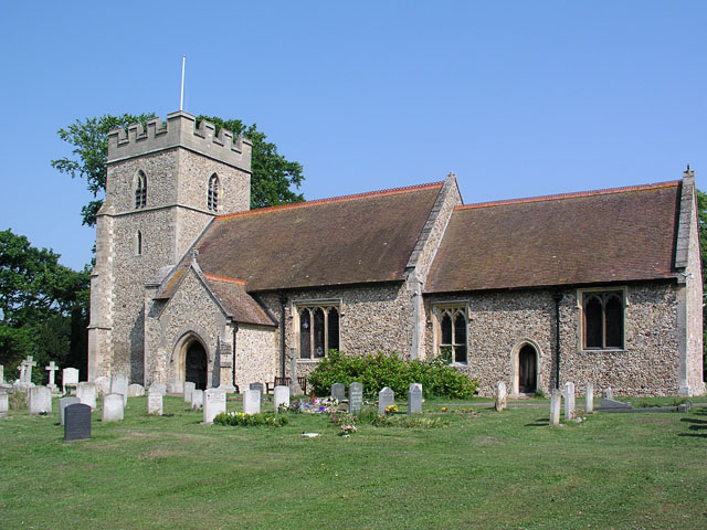
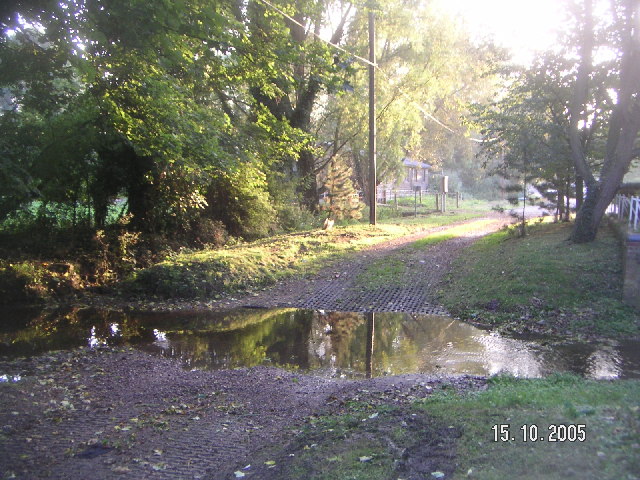
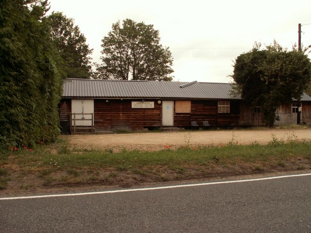
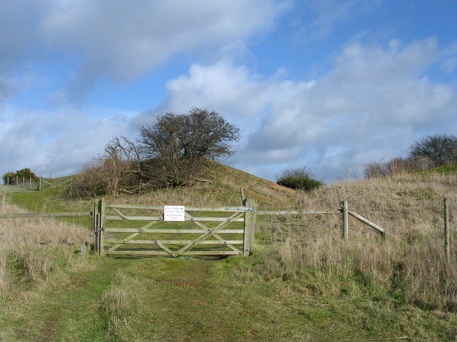
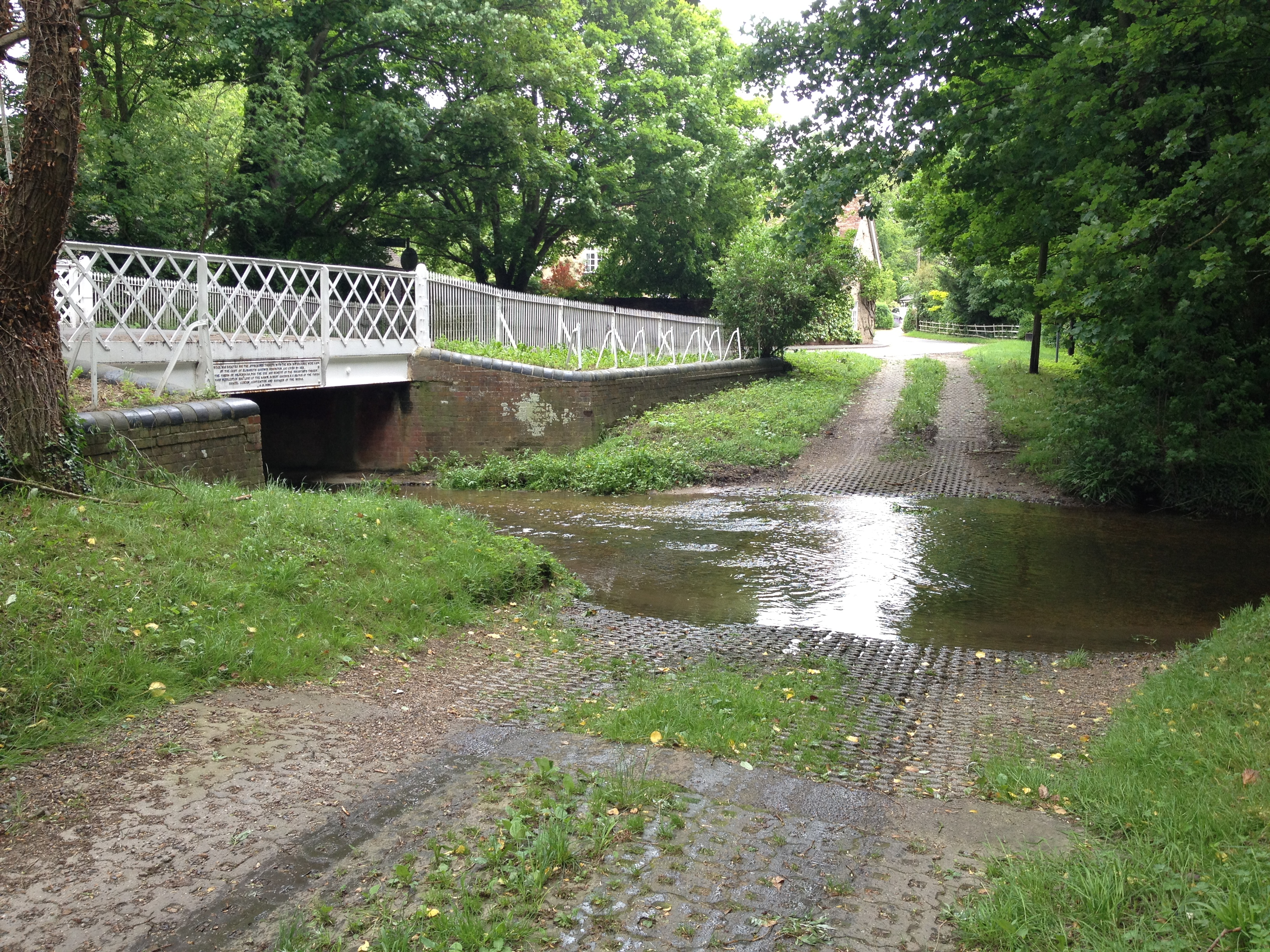
Rook Plantation Images
Images are sourced within 2km of 52.111429/0.24769773 or Grid Reference TL5448. Thanks to Geograph Open Source API. All images are credited.

Rook Plantation is located at Grid Ref: TL5448 (Lat: 52.111429, Lng: 0.24769773)
Administrative County: Cambridgeshire
District: South Cambridgeshire
Police Authority: Cambridgeshire
What 3 Words
///boat.look.diver. Near Linton, Cambridgeshire
Nearby Locations
Related Wikis
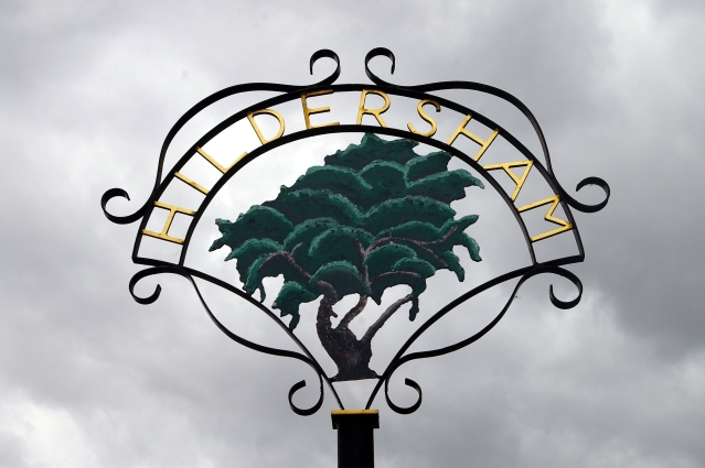
Hildersham
Hildersham is a small village 8 miles to the south-east of Cambridge, England. It is situated just off the A1307 between Linton and Great Abington on a...

Alder Carr, Hildersham
Alder Carr is a 6.7-hectare biological Site of Special Scientific Interest in Hildersham in Cambridgeshire.The site is a wet valley which has alder on...

The Abingtons, Cambridgeshire
The Abingtons are a community in South Cambridgeshire consisting of two small villages: Little Abington and Great Abington, about 7 miles (11 km) south...

Furze Hill SSSI
Furze Hill is a 5.8-hectare (14-acre) biological Site of Special Scientific Interest in three nearby areas east of Hildersham in Cambridgeshire.The site...

Granta Park
Granta Park is a science, technology and biopharmaceutical park based on the bank of the River Granta in Great Abington near Cambridge, England. The idea...

Granta School
Granta School is a community special school in Linton, South Cambridgeshire, England. Established in 2006, the school is designed to assist with moderate...

Linton Village College
Linton Village College is a secondary school in Linton, South Cambridgeshire, England. Established in 1937 as a village college, the school now has academy...
Bourne Bridge railway station
Bourne Bridge railway station served Little Abington, Great Abington, Pampisford and Babraham in Cambridgeshire. It was closed in 1851, along with its...
Nearby Amenities
Located within 500m of 52.111429,0.24769773Have you been to Rook Plantation?
Leave your review of Rook Plantation below (or comments, questions and feedback).