Feed Plantation
Wood, Forest in Cambridgeshire South Cambridgeshire
England
Feed Plantation

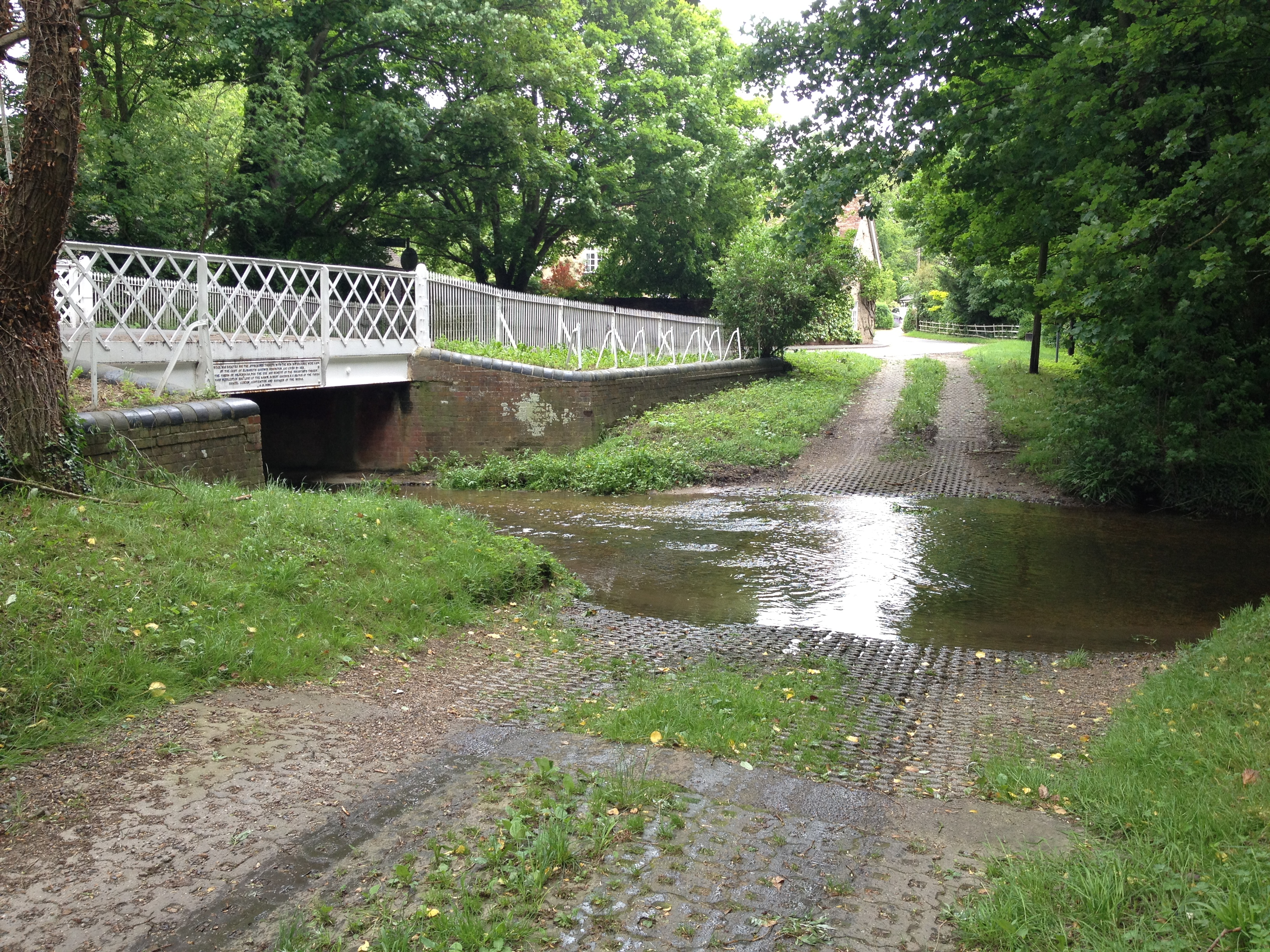
Feed Plantation is a picturesque woodland located in the county of Cambridgeshire, England. Situated near the village of Wood, this forested area spans approximately 50 acres and offers visitors a tranquil and serene escape from the bustling city life.
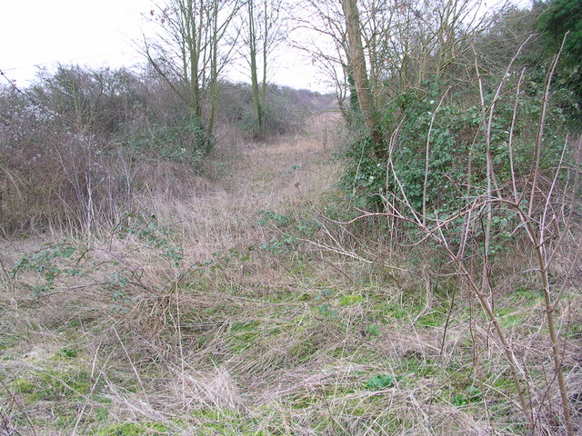
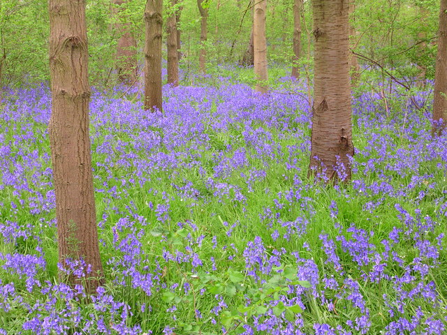
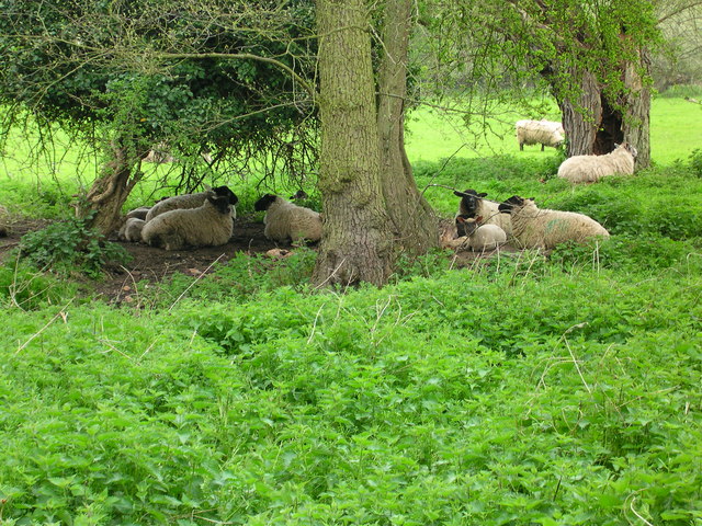
The plantation is primarily composed of a mix of deciduous and coniferous trees, creating a diverse and rich ecosystem. The tall, majestic oaks and beeches provide a dense canopy that filters sunlight, creating a cool and shaded atmosphere. Additionally, the plantation features a variety of shrubs, ferns, and wildflowers, adding to its natural beauty.
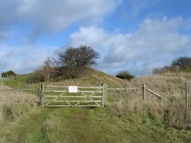
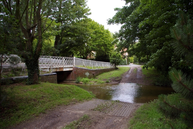
The woodland is crisscrossed with a network of well-maintained footpaths, allowing visitors to explore its hidden gems. These paths lead to secluded clearings, where one can sit back, relax, and enjoy the tranquil sounds of nature. The plantation also offers several picnic areas, making it an ideal spot for families or groups of friends to enjoy a leisurely outdoor meal.
Feed Plantation is home to a diverse range of wildlife. Birdwatchers can spot various species including woodpeckers, owls, and jays, while nature enthusiasts may encounter deer, rabbits, and foxes. The plantation's serene environment provides an ideal habitat for these creatures, making it a haven for wildlife lovers.
Overall, Feed Plantation in Cambridgeshire is a hidden gem, offering visitors a serene and natural retreat. With its diverse range of trees, well-maintained footpaths, and abundant wildlife, this woodland provides a perfect escape for those seeking solace in nature.
If you have any feedback on the listing, please let us know in the comments section below.
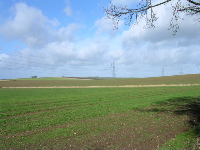
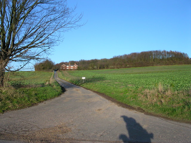
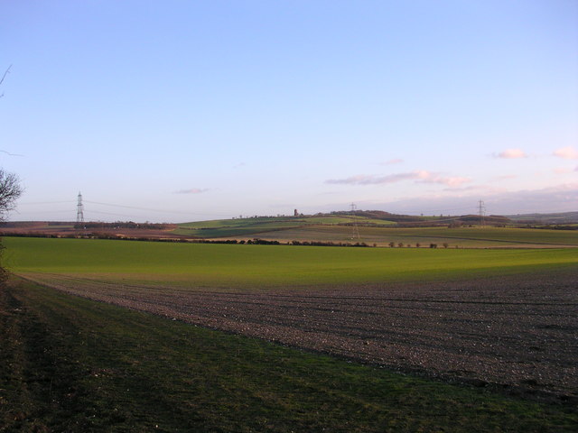
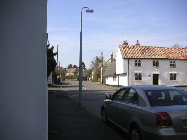
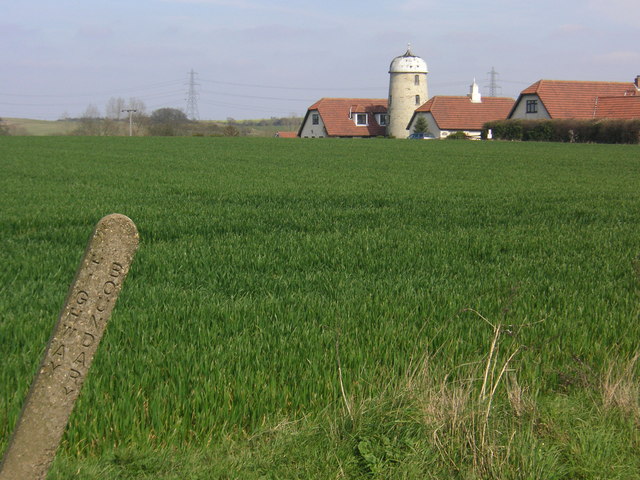
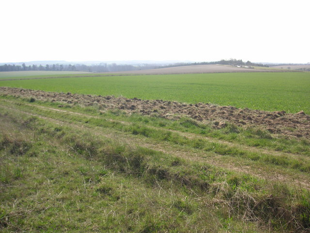
Feed Plantation Images
Images are sourced within 2km of 52.113611/0.24833331 or Grid Reference TL5448. Thanks to Geograph Open Source API. All images are credited.

Feed Plantation is located at Grid Ref: TL5448 (Lat: 52.113611, Lng: 0.24833331)
Administrative County: Cambridgeshire
District: South Cambridgeshire
Police Authority: Cambridgeshire
What 3 Words
///boards.coil.vision. Near Linton, Cambridgeshire
Nearby Locations
Related Wikis
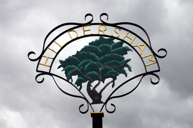
Hildersham
Hildersham is a small village 8 miles to the south-east of Cambridge, England. It is situated just off the A1307 between Linton and Great Abington on a...

Alder Carr, Hildersham
Alder Carr is a 6.7-hectare biological Site of Special Scientific Interest in Hildersham in Cambridgeshire.The site is a wet valley which has alder on...

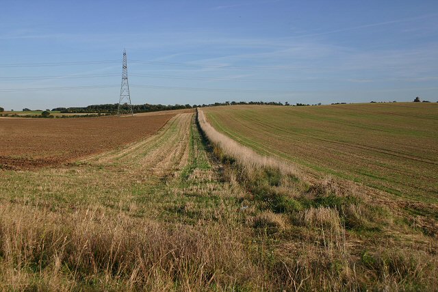
The Abingtons, Cambridgeshire
The Abingtons are a community in South Cambridgeshire consisting of two small villages: Little Abington and Great Abington, about 7 miles (11 km) south...

Furze Hill SSSI
Furze Hill is a 5.8-hectare (14-acre) biological Site of Special Scientific Interest in three nearby areas east of Hildersham in Cambridgeshire.The site...
Nearby Amenities
Located within 500m of 52.113611,0.24833331Have you been to Feed Plantation?
Leave your review of Feed Plantation below (or comments, questions and feedback).