Etchingly Wood

Wood, Forest in Sussex Wealden

England

Etchingly Wood

The church without dedication, East Hoathly
The church without dedication, East Hoathly Credit: Stephen Dawson

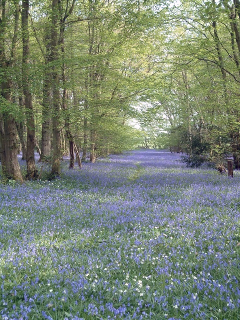
Etchingly Wood is a picturesque woodland located in Sussex, England. Covering an area of approximately 100 acres, it is renowned for its natural beauty and diverse range of flora and fauna. The woodland is situated within the High Weald Area of Outstanding Natural Beauty, which further enhances its appeal.

The wood is predominantly made up of broadleaf trees, including oak, beech, and hornbeam. These majestic trees form a dense canopy, providing shade and shelter to the woodland floor below. The forest floor is covered with a rich carpet of bluebells, wild garlic, and ferns, creating a stunning display in the spring and summer months.

Etchingly Wood is home to a wide variety of wildlife, making it a popular destination for nature enthusiasts. Birdwatchers can spot species such as woodpeckers, tawny owls, and nuthatches, while mammals like foxes, badgers, and deer can be observed in their natural habitat.

The woodland offers several walking trails, allowing visitors to explore its beauty at their own pace. These paths wind through the ancient trees, revealing hidden glades and small streams along the way. The tranquility and peacefulness of the surroundings make it an ideal spot for a leisurely stroll or a picnic amidst nature.

Etchingly Wood is managed by a local conservation organization, ensuring the preservation of its natural beauty and the protection of its wildlife. With its idyllic setting and abundance of natural wonders, this enchanting woodland provides a welcome retreat for those seeking solace in nature.

If you have any feedback on the listing, please let us know in the comments section below.

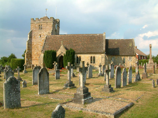
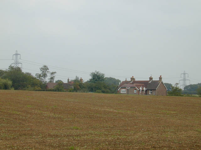
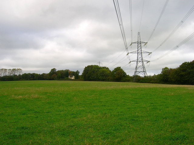
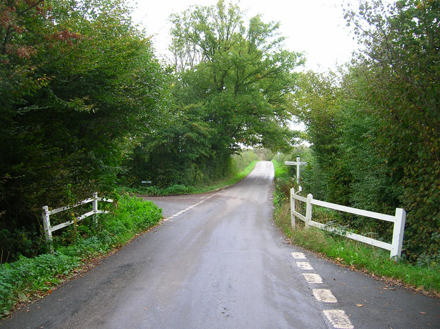
Etchingly Wood Images

Images are sourced within 2km of 50.928414/0.19072568 or Grid Reference TQ5416. Thanks to Geograph Open Source API. All images are credited.

The church without dedication, East Hoathly
Gray Wood Gray Wood, East Hoathly - in late April the Wood is anything but gray!  The woodland in private, but can be viewed from the Vanguard Way footpath.
Gray Wood
Gray Wood, East Hoathly - in late April the Wood is anything but gray! The woodland in private, but can be viewed from the Vanguard Way footpath.
Across the fields to Davis's Town This photograph was taken from the footpath forming part of the Thomas Turner walk near Great Wood, just outside the village of East Hoathly.
Across the fields to Davis's Town
This photograph was taken from the footpath forming part of the Thomas Turner walk near Great Wood, just outside the village of East Hoathly.
Mile marker East Hoathly 48 Miles to Bow Bells
Mile marker East Hoathly
48 Miles to Bow Bells
Oasthouses, Stream Farm The area also contains a mill and the site of a former ironworks. Unfortunately the bridleway that accesses it is currently shut due to a faulty bridge.
Oasthouses, Stream Farm
The area also contains a mill and the site of a former ironworks. Unfortunately the bridleway that accesses it is currently shut due to a faulty bridge.
Dern Lane Taking you to Waldron and Lions Green.
Dern Lane
Taking you to Waldron and Lions Green.
Wealden Landscape Looking from Smithlands Lane towards Mill and Forge Wood.
Wealden Landscape
Looking from Smithlands Lane towards Mill and Forge Wood.
Oast House, Holdens Farm The rather dreary day has obscured the view to Chiddingly church, whose spire can be viewed between the oast house and tree.
Oast House, Holdens Farm
The rather dreary day has obscured the view to Chiddingly church, whose spire can be viewed between the oast house and tree.
Field opposite Broomfield Farm Looking towards Minepit Wood and Summersbrook Wood.
Field opposite Broomfield Farm
Looking towards Minepit Wood and Summersbrook Wood.
Electricity Pylons near Cinder Wood The house to the left is Scallow Lodge.
Electricity Pylons near Cinder Wood
The house to the left is Scallow Lodge.
Scallow Bridge The bridge is marked by the white railings. Lane to the left goes to Cross in Hand, the one to the right heads south to Whitesmith, straight ahead for Foxhunt Green and Horam.
Scallow Bridge
The bridge is marked by the white railings. Lane to the left goes to Cross in Hand, the one to the right heads south to Whitesmith, straight ahead for Foxhunt Green and Horam.
Outbuildings, Foxhunt Park Farm
Pond, Braysland Farm The outbuildings can just be made out on the far side of the pond.
Pond, Braysland Farm
The outbuildings can just be made out on the far side of the pond.
Foxhunt Green Typical of the number of hamlets found in this part of the Weald which is indicative of how the area was originally settled piecemeal in the middle ages by those prepared to hack away the forest and build small farms and settlements.
Foxhunt Green
Typical of the number of hamlets found in this part of the Weald which is indicative of how the area was originally settled piecemeal in the middle ages by those prepared to hack away the forest and build small farms and settlements.
Great Dern Wood With obligatory discarded empty can of Stella in the foreground.
Great Dern Wood
With obligatory discarded empty can of Stella in the foreground.
Coneyburrow Wood Just to confuse matters there are three woods of the same name within a couple of miles of each other. This one is to the south of Longshaw Farm. Taken from Dern Lane.
Coneyburrow Wood
Just to confuse matters there are three woods of the same name within a couple of miles of each other. This one is to the south of Longshaw Farm. Taken from Dern Lane.
Field near Tourle's Farm An outbuilding can be seen on the ridge to the right. Somewhere to the right a footpath leads up there but is overgrown and impassable.
Field near Tourle's Farm
An outbuilding can be seen on the ridge to the right. Somewhere to the right a footpath leads up there but is overgrown and impassable.
Post Office, High Street The village's Post Office is right on the bend of High Street and London Road which until the late 1980s was the main A22, the 90 degree bend causing all manner of problems. Today the street is a quiet backwater thanks to the bypassing of the trunk road.
Post Office, High Street
The village's Post Office is right on the bend of High Street and London Road which until the late 1980s was the main A22, the 90 degree bend causing all manner of problems. Today the street is a quiet backwater thanks to the bypassing of the trunk road.
Show me another place!

Etchingly Wood is located at Grid Ref: TQ5416 (Lat: 50.928414, Lng: 0.19072568)

Administrative County: East Sussex

District: Wealden

Police Authority: Sussex

What 3 Words

///stilted.aviators.shimmered. Near Horam, East Sussex

Related Wikis

Chiddingly

Chiddingly ( CHID-ing-lye) is an English village and civil parish in the Wealden District of the administrative county of East Sussex, within historic...

East Hoathly with Halland

East Hoathly with Halland is a civil parish in the Wealden District of East Sussex, England. The parish contains the two villages of East Hoathly and...

Waldron Cutting

Waldron Cutting is a 0.2-hectare (0.49-acre) geological Site of Special Scientific Interest in East Sussex. It is a Geological Conservation Review site...

Whitesmith maze

A plantation of willows near Whitesmith, East Sussex, in England forms a maze in the shape of a quotation from the Bible. The maze was planted by local...

Gun Hill, East Sussex

Gun Hill is a hamlet in the civil parish of Chiddingly in the Wealden district of East Sussex, England. It is one of the seven hills of the parish in which...

Farleys House

Farleys House near Chiddingly, East Sussex, has been converted into a museum and archive featuring the lives and work of its former residents, the photographer...

Horam

Horam is a village, electoral ward and civil parish in the Wealden District of East Sussex, situated three miles (4.8 km) south of Heathfield. Included...

Park Corner Heath

Park Corner Heath is a 2.9-hectare (7.2-acre) biological Site of Special Scientific Interest about 1.2 miles (2 km) south of East Hoathly, adjacent to...

Nearby Amenities

Located within 500m of 50.928414,0.19072568
Post Box
Collection Times: Mo-Fr 15:00; Sa 08:15
Operator: Royal Mail
Post Box Type: lamp
Ref: BN8 520
Royal Cypher: EIIR
Royal Cypher Wikidata: Q33102113
Lat/Long: 50.9286788/0.1839263
Scotland Farm
Place: farm
Source Name: OS_OpenData_Streetview
Lat/Long: 50.9280196/0.1901203
Park Wood Farm
Place: farm
Source Name: OS_OpenData_Streetview
Lat/Long: 50.9254127/0.1875293
Addr Housename: Candytuft
Building: house
Lat/Long: 50.9282851/0.1874328
Addr Housename: Bluebell House
Building: house
Lat/Long: 50.9283206/0.1871377
Addr Housename: Beranwold
Building: house
Lat/Long: 50.9283544/0.1867971
The data included in this document is from www.openstreetmap.org. The data is made available under ODbL.

Have you been to Etchingly Wood?

Leave your review of Etchingly Wood below (or comments, questions and feedback).