Abbey Wood
Wood, Forest in Essex
England
Abbey Wood
Abbey Wood is a suburban area located in the London Borough of Bexley, in the county of Greater London, England. Despite its name, it is not part of the county of Essex. It is situated approximately 11 miles east of Charing Cross and is adjacent to the southeastern boundary of the Thamesmead area.
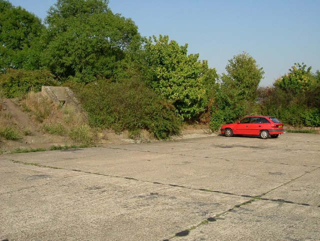
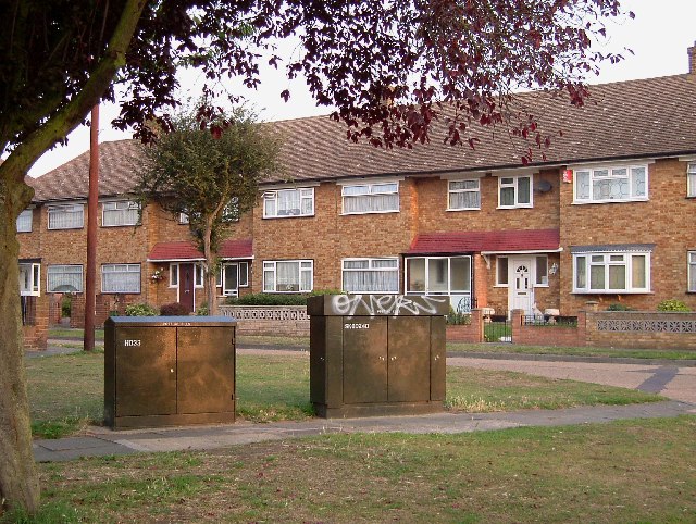
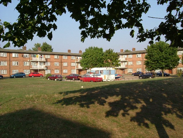
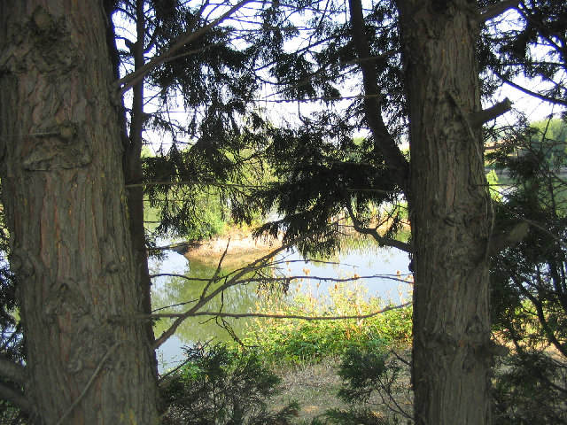
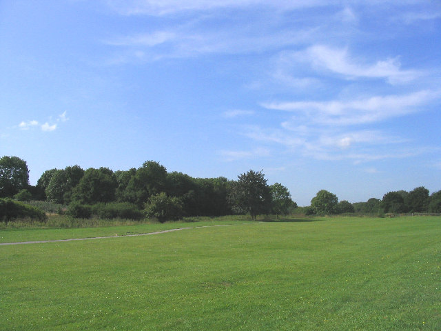
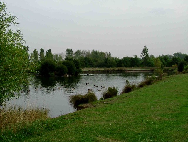
Abbey Wood is primarily a residential area, characterized by a mix of housing styles including post-war council estates, modern developments, and some Victorian terraced houses. The area is known for its green spaces, with Bostall Woods being a prominent feature. This ancient woodland covers a considerable area and provides a haven for wildlife, offering residents and visitors the opportunity to enjoy leisurely walks and outdoor activities.
The area benefits from excellent transport links, making it a popular choice for commuters. Abbey Wood railway station, which recently underwent significant redevelopment as part of the Crossrail project, provides regular services into central London, with journey times to key destinations such as Canary Wharf and Liverpool Street reduced significantly. In addition, there are several bus routes serving the area, connecting it to neighboring towns and districts.
Abbey Wood offers a range of amenities to cater to the needs of its residents. There are several local shops, supermarkets, and restaurants, providing convenience and choice for everyday essentials. The area also boasts a leisure center, library, and a variety of community facilities, contributing to the overall quality of life for its residents.
Overall, Abbey Wood is a suburban area with a strong sense of community, offering a peaceful and green environment within easy reach of central London.
If you have any feedback on the listing, please let us know in the comments section below.
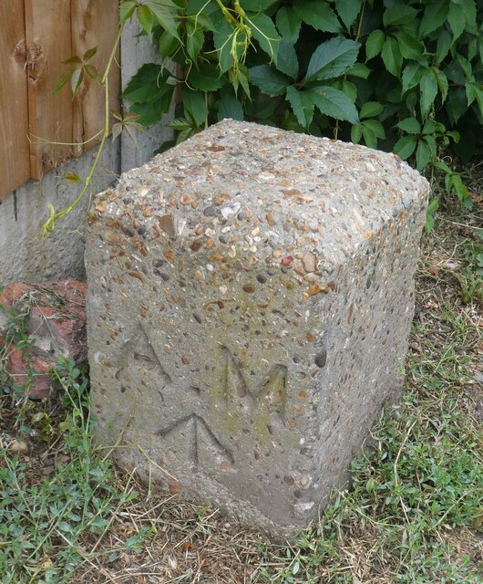
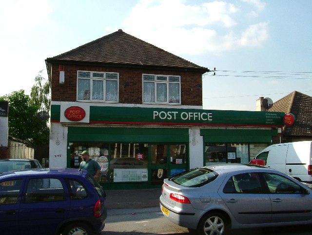
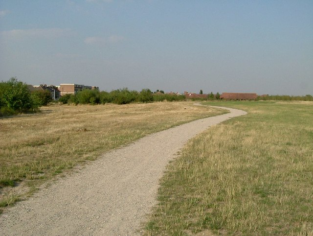
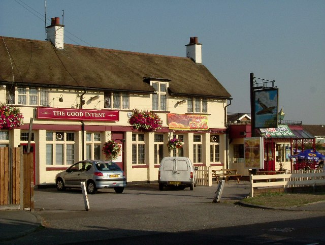
Abbey Wood Images
Images are sourced within 2km of 51.531778/0.21399342 or Grid Reference TQ5383. Thanks to Geograph Open Source API. All images are credited.

Abbey Wood is located at Grid Ref: TQ5383 (Lat: 51.531778, Lng: 0.21399342)
Unitary Authority: Havering
Police Authority: Metropolitan
What 3 Words
///shave.trendy.slows. Near Elm Park, London
Nearby Locations
Related Wikis

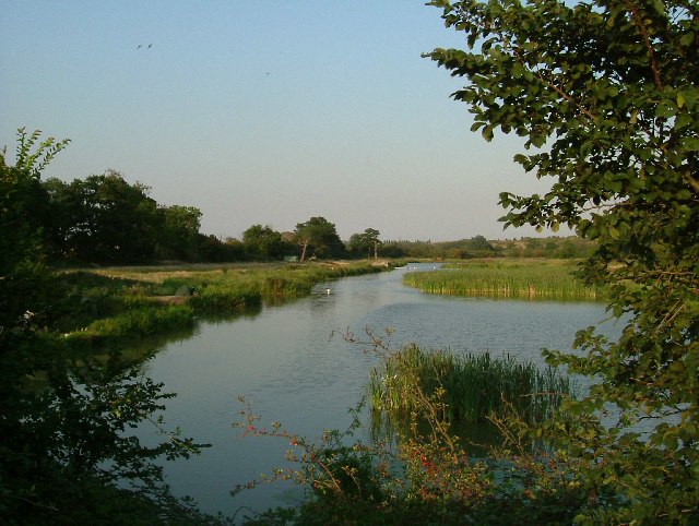
Ingrebourne Marshes
Ingrebourne Marshes are a 74.8 hectare biological Site of Special Scientific Interest in Hornchurch in the London Borough of Havering. Ingrebourne Valley...

Ingrebourne Valley
Ingrebourne Valley is a local nature reserve (LNR) in Hornchurch in the London Borough of Havering. It is owned and managed by Havering Council, and has...

Hornchurch Country Park
Hornchurch Country Park is a 104.5-hectare park on the former site of Hornchurch Airfield, south of Hornchurch in the London Borough of Havering, east...

Hornchurch (UK Parliament constituency)
Hornchurch was a borough constituency represented in the House of Commons of the Parliament of the United Kingdom. It elected one Member of Parliament...
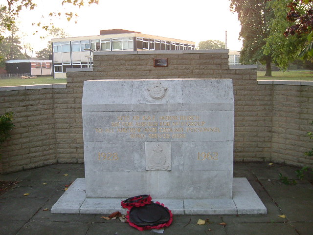
RAF Hornchurch
Royal Air Force Hornchurch, or more simply RAF Hornchurch, is a former Royal Air Force sector station in the parish of Hornchurch, Essex (now the London...
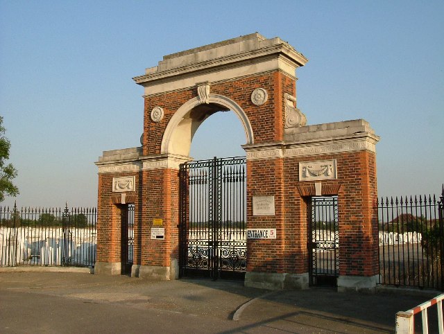
Eastern London Cemetery
Eastern London Cemetery is a new cemetery in the East of London opening in 2018.The new cemetery will provide around 20,000 new burial plots for London...

St John's Parish Church, South Hornchurch
St John & St Matthews Church, South Hornchurch, is an Anglican parish church in South Hornchurch, London Borough of Havering, England. == History == The...

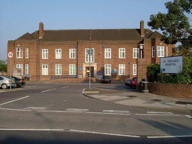
St George's Hospital, Havering
St George's Hospital was a hospital on Suttons Lane in Hornchurch in the London Borough of Havering, in northeast London, England. It opened in 1938 and...
Nearby Amenities
Located within 500m of 51.531778,0.21399342Have you been to Abbey Wood?
Leave your review of Abbey Wood below (or comments, questions and feedback).