Lowfield Wood
Wood, Forest in Essex
England
Lowfield Wood

Lowfield Wood is a charming and picturesque woodland located in the county of Essex, England. Covering an area of approximately 30 acres, it is a popular destination for nature lovers and outdoor enthusiasts alike. The wood is situated in the heart of the Essex countryside, providing visitors with a peaceful and tranquil environment to escape the hustle and bustle of everyday life.
Lowfield Wood is primarily comprised of deciduous trees, including oak, beech, and birch, which create a stunning canopy during the summer months. The forest floor is adorned with a carpet of vibrant wildflowers and ferns, adding to its natural beauty. The wood is also home to a diverse range of wildlife, such as deer, squirrels, and various bird species, making it a haven for wildlife enthusiasts and photographers.
With its well-maintained footpaths and trails, Lowfield Wood offers visitors the opportunity to explore its wonders on foot. There are several walking routes of varying lengths and difficulties, ensuring that there is something suitable for everyone. Along the way, visitors can enjoy breathtaking views, discover hidden glades, and listen to the soothing sounds of nature.
In addition to its natural attractions, Lowfield Wood also features picnic areas and benches, allowing visitors to relax and enjoy a leisurely lunch amidst the tranquil surroundings. The wood is open to the public throughout the year, and there is no admission fee, making it an accessible and affordable destination for all.
Overall, Lowfield Wood is a delightful woodland retreat in Essex, offering visitors a chance to connect with nature and experience the beauty of the English countryside. Whether for a peaceful walk, wildlife spotting, or simply to escape the stresses of modern life, this enchanting woodland has something to offer everyone.
If you have any feedback on the listing, please let us know in the comments section below.
Lowfield Wood Images
Images are sourced within 2km of 51.531805/0.20871755 or Grid Reference TQ5383. Thanks to Geograph Open Source API. All images are credited.


Lowfield Wood is located at Grid Ref: TQ5383 (Lat: 51.531805, Lng: 0.20871755)
Unitary Authority: Havering
Police Authority: Metropolitan
What 3 Words
///flap.turned.chip. Near Elm Park, London
Nearby Locations
Related Wikis

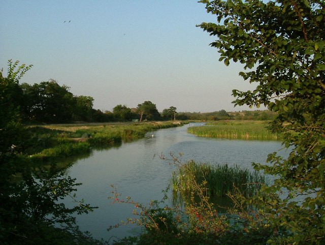
Ingrebourne Marshes
Ingrebourne Marshes are a 74.8 hectare biological Site of Special Scientific Interest in Hornchurch in the London Borough of Havering. Ingrebourne Valley...

Hornchurch (UK Parliament constituency)
Hornchurch was a borough constituency represented in the House of Commons of the Parliament of the United Kingdom. It elected one Member of Parliament...

Ingrebourne Valley
Ingrebourne Valley is a local nature reserve (LNR) in Hornchurch in the London Borough of Havering. It is owned and managed by Havering Council, and has...

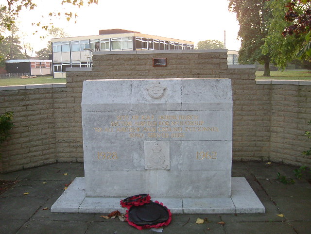
RAF Hornchurch
Royal Air Force Hornchurch, or more simply RAF Hornchurch, is a former Royal Air Force sector station in the parish of Hornchurch, Essex (now the London...
Hornchurch Country Park
Hornchurch Country Park is a 104.5-hectare park on the former site of Hornchurch Airfield, south of Hornchurch in the London Borough of Havering, east...

St John's Parish Church, South Hornchurch
St John & St Matthews Church, South Hornchurch, is an Anglican parish church in South Hornchurch, London Borough of Havering, England. == History == The...
Eastern London Cemetery
Eastern London Cemetery is a new cemetery in the East of London opening in 2018.The new cemetery will provide around 20,000 new burial plots for London...
The Brittons Academy
The Brittons Academy (formerly Brittons School) is a mixed secondary school located in the Rainham area of the London Borough of Havering, England.The...
Nearby Amenities
Located within 500m of 51.531805,0.20871755Have you been to Lowfield Wood?
Leave your review of Lowfield Wood below (or comments, questions and feedback).