Icehouse Plantation
Wood, Forest in Essex Uttlesford
England
Icehouse Plantation

Icehouse Plantation is a historic woodland estate located in Essex, England. Nestled amidst lush greenery and picturesque landscapes, this plantation covers a vast area of woodland and forest. The estate is known for its enchanting beauty and natural charm, making it a popular destination for nature enthusiasts and history buffs alike.
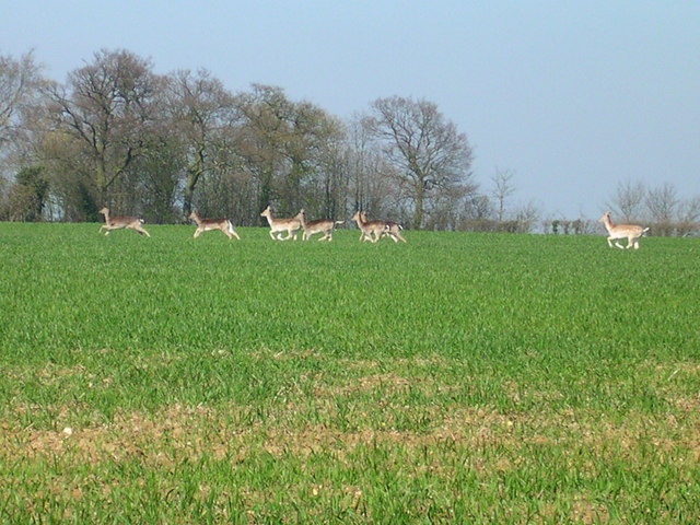
One of the standout features of Icehouse Plantation is its dense forest, which is home to a diverse range of flora and fauna. Towering oak, beech, and pine trees dominate the landscape, creating a serene and peaceful atmosphere. The woodland is also teeming with various wildlife species, including deer, foxes, and a multitude of bird species, providing visitors with ample opportunities for wildlife spotting and birdwatching.
The plantation holds great historical significance as well. Dating back to the 16th century, Icehouse Plantation has witnessed the passage of time and has been associated with several notable figures throughout history. The estate features a well-preserved icehouse, which was once used to store ice during the warmer months. This icehouse serves as a testament to the past and offers visitors a glimpse into the everyday life of the estate's previous inhabitants.
Visitors to Icehouse Plantation can enjoy a range of activities, such as hiking, cycling, and picnicking. The plantation offers several walking trails, allowing visitors to explore the woodland and discover its hidden treasures. With its tranquil ambiance and natural beauty, Icehouse Plantation is a true haven for those seeking solace in nature.
If you have any feedback on the listing, please let us know in the comments section below.
Icehouse Plantation Images
Images are sourced within 2km of 51.997209/0.22402339 or Grid Reference TL5235. Thanks to Geograph Open Source API. All images are credited.


Icehouse Plantation is located at Grid Ref: TL5235 (Lat: 51.997209, Lng: 0.22402339)
Administrative County: Essex
District: Uttlesford
Police Authority: Essex
What 3 Words
///park.sprayer.yacht. Near Saffron Walden, Essex
Related Wikis

Leper Stone
The Leper Stone or Newport Stone (grid reference TL520349) is a large sarsen stone near the village of Newport, Essex, England. The name Leper Stone probably...
Joyce Frankland Academy
Joyce Frankland Academy, Newport, formerly Newport Free Grammar School, is a school in Newport, Essex, England. It was founded in 1588. The school is a...
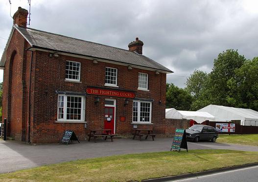
Waldstock Festival UK
Waldstock is an annual charity music festival held in the grounds of the Fighting Cocks Public House, Wendens Ambo, Essex. Waldstock is organised entirely...
Audley End Airfield
Audley End Airfield is located to the south west of Saffron Walden near to Saffron Walden County High School in the Uttlesford district of Essex, England...

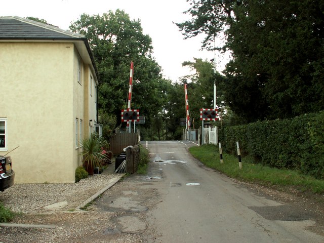
Audley End railway station
Audley End railway station is on the West Anglia Main Line serving the village of Wendens Ambo and the town of Saffron Walden in Essex, England. It is...

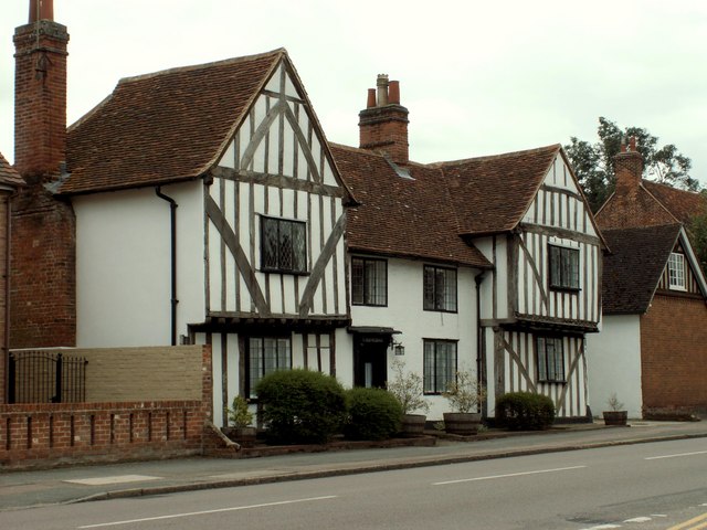
Wendens Ambo
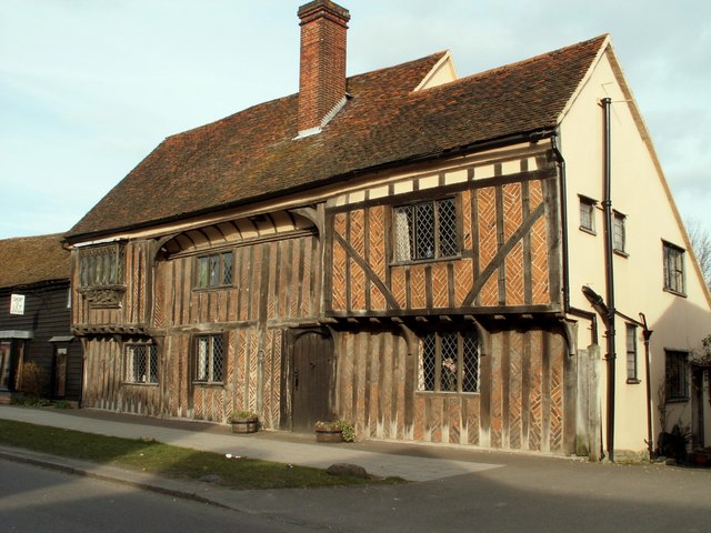
Wendens Ambo is a village in the Uttlesford district of Essex, England. The population at the 2011 census was measured at 473. Its name originates from...

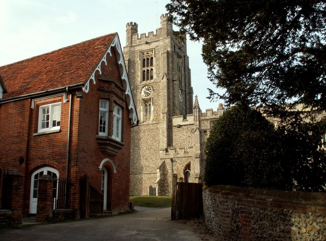
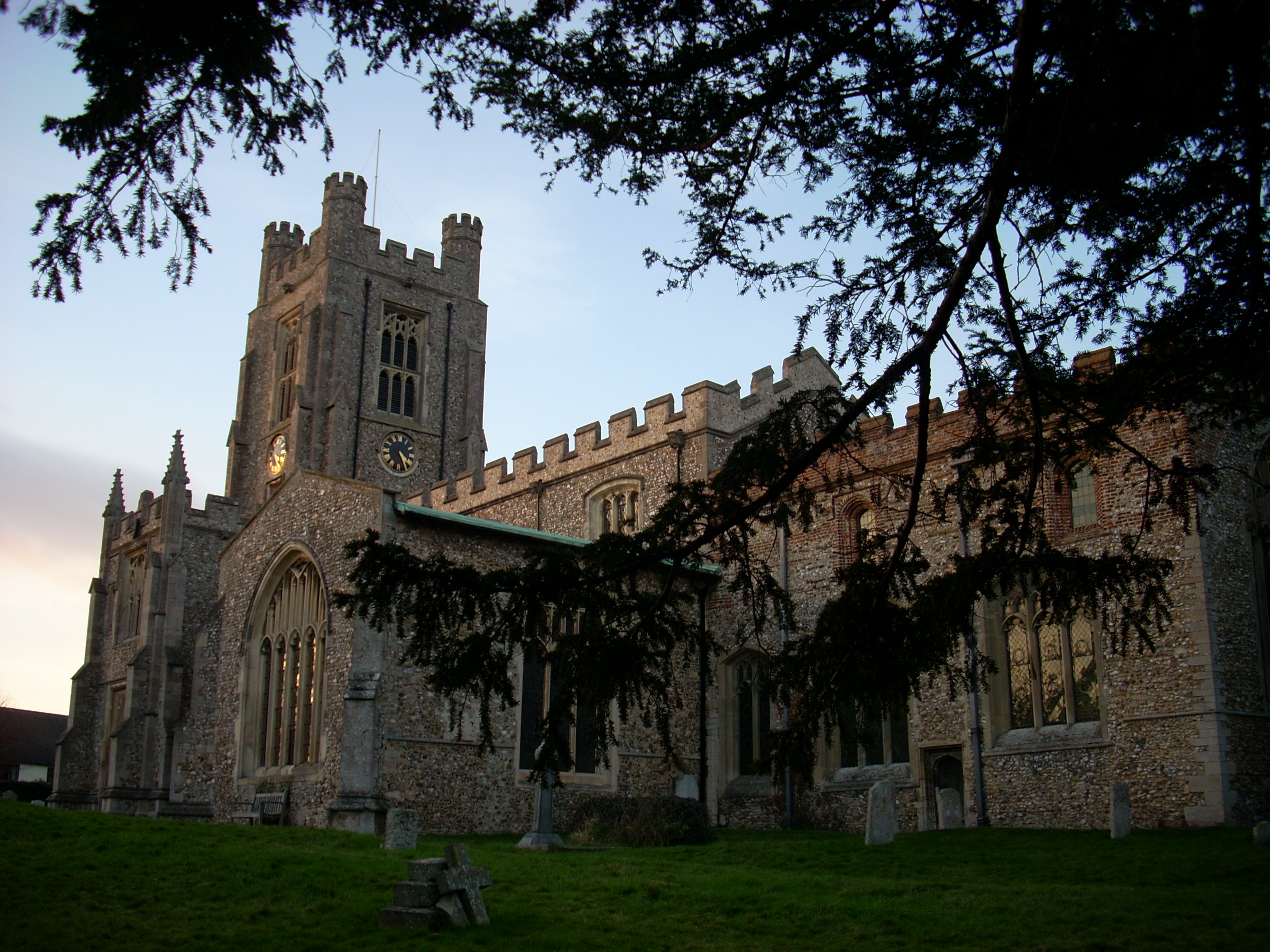
St Mary the Virgin Church, Wendens Ambo
St Mary the Virgin Church is a Church of England parish church in the village of Wendens Ambo in Essex, England. It is listed Grade I for its architectural...
Newport, Essex
Newport is a large village and civil parish in the Uttlesford district in Essex, near Saffron Walden. The village has a population of over 2,000, measured...
Nearby Amenities
Located within 500m of 51.997209,0.22402339Have you been to Icehouse Plantation?
Leave your review of Icehouse Plantation below (or comments, questions and feedback).