Dixie Strip
Wood, Forest in Essex Uttlesford
England
Dixie Strip

Dixie Strip, Essex (Wood, Forest) is a small rural settlement located in the county of Essex, in the eastern part of England. Situated within the larger district of Uttlesford, Dixie Strip is known for its picturesque surroundings and peaceful atmosphere.
The settlement is characterized by its abundance of woodland and forested areas, which provide a natural habitat for various species of flora and fauna. The woodlands in Dixie Strip are well-preserved and offer residents and visitors the opportunity to explore nature, go for walks, or engage in outdoor activities such as hiking and bird-watching.
Despite its small size, Dixie Strip has a close-knit community that takes pride in the preservation of its natural surroundings. The settlement comprises mainly residential properties, with a few local businesses catering to the needs of the residents. The residents of Dixie Strip are known for their friendly and welcoming nature, creating a warm and inviting atmosphere for both newcomers and visitors.
The settlement benefits from its proximity to nearby towns and villages, providing access to essential amenities such as schools, healthcare facilities, and shopping centers. Additionally, its location makes it an ideal spot for those seeking a more rural lifestyle, while still being within commuting distance of larger urban areas.
Dixie Strip, Essex (Wood, Forest) offers an idyllic countryside experience, with its serene atmosphere, lush greenery, and strong sense of community, making it an appealing place for those who appreciate the beauty of nature and desire a peaceful and tranquil living environment.
If you have any feedback on the listing, please let us know in the comments section below.
Dixie Strip Images
Images are sourced within 2km of 52.001031/0.22494134 or Grid Reference TL5235. Thanks to Geograph Open Source API. All images are credited.


Dixie Strip is located at Grid Ref: TL5235 (Lat: 52.001031, Lng: 0.22494134)
Administrative County: Essex
District: Uttlesford
Police Authority: Essex
What 3 Words
///waistcoat.event.intrigued. Near Saffron Walden, Essex
Related Wikis

Audley End Airfield
Audley End Airfield is located to the south west of Saffron Walden near to Saffron Walden County High School in the Uttlesford district of Essex, England...
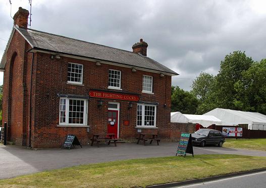
Waldstock Festival UK
Waldstock is an annual charity music festival held in the grounds of the Fighting Cocks Public House, Wendens Ambo, Essex. Waldstock is organised entirely...

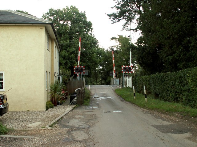
Audley End railway station
Audley End railway station is on the West Anglia Main Line serving the village of Wendens Ambo and the town of Saffron Walden in Essex, England. It is...
Leper Stone
The Leper Stone or Newport Stone (grid reference TL520349) is a large sarsen stone near the village of Newport, Essex, England. The name Leper Stone probably...
Joyce Frankland Academy
Joyce Frankland Academy, Newport, formerly Newport Free Grammar School, is a school in Newport, Essex, England. It was founded in 1588. The school is a...

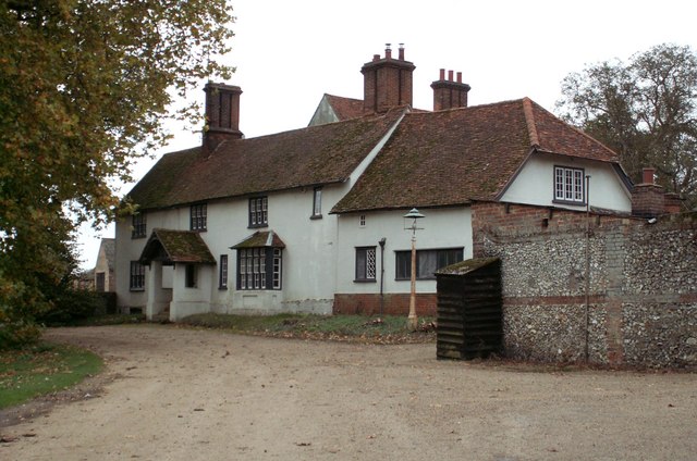
Wendens Ambo
Wendens Ambo is a village in the Uttlesford district of Essex, England. The population at the 2011 census was measured at 473. Its name originates from...

St Mary the Virgin Church, Wendens Ambo
St Mary the Virgin Church is a Church of England parish church in the village of Wendens Ambo in Essex, England. It is listed Grade I for its architectural...

Saffron Walden County High School
Saffron Walden County High School (SWCHS) is a coeducational academy school for ages 11–18 in Saffron Walden, Essex, England. The school is also an accredited...
Nearby Amenities
Located within 500m of 52.001031,0.22494134Have you been to Dixie Strip?
Leave your review of Dixie Strip below (or comments, questions and feedback).